May 10th 2009
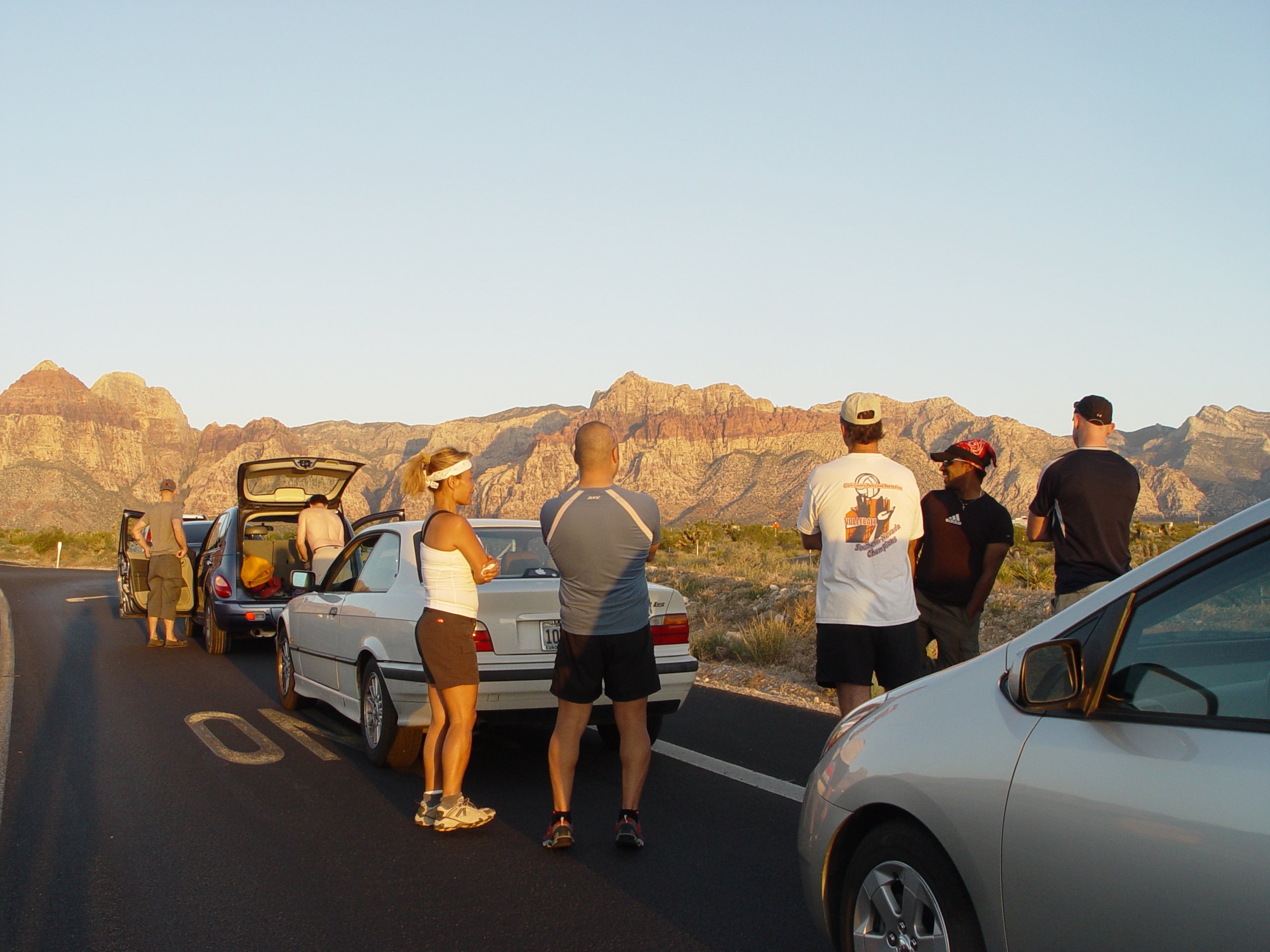
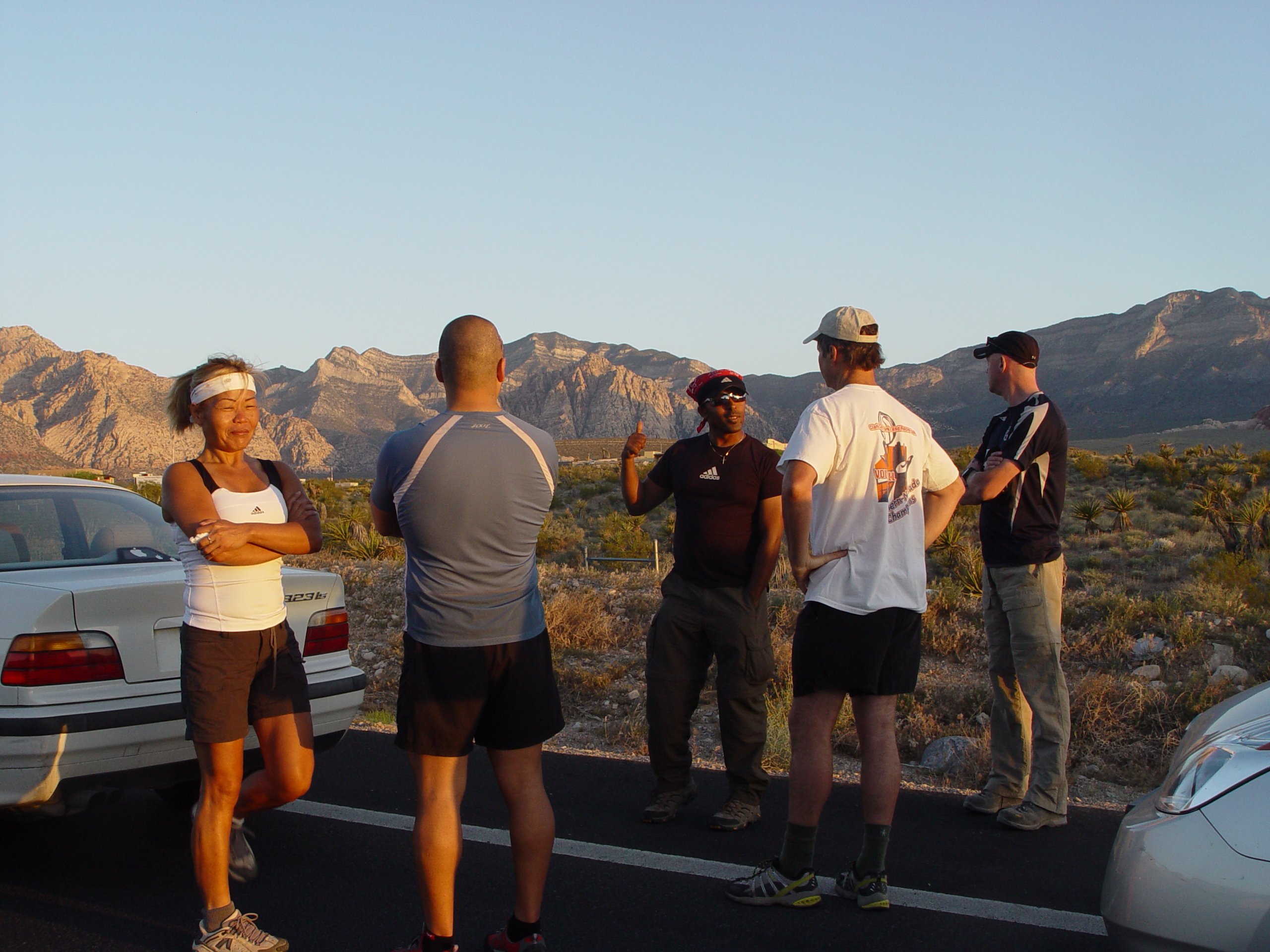
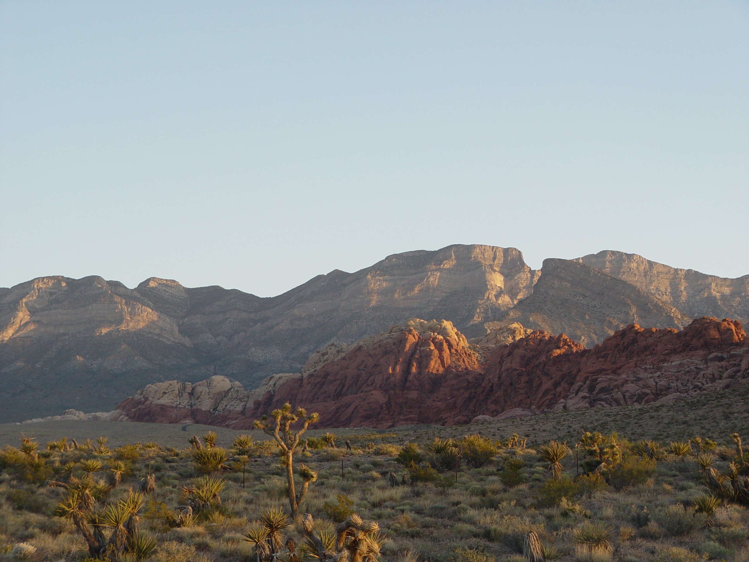
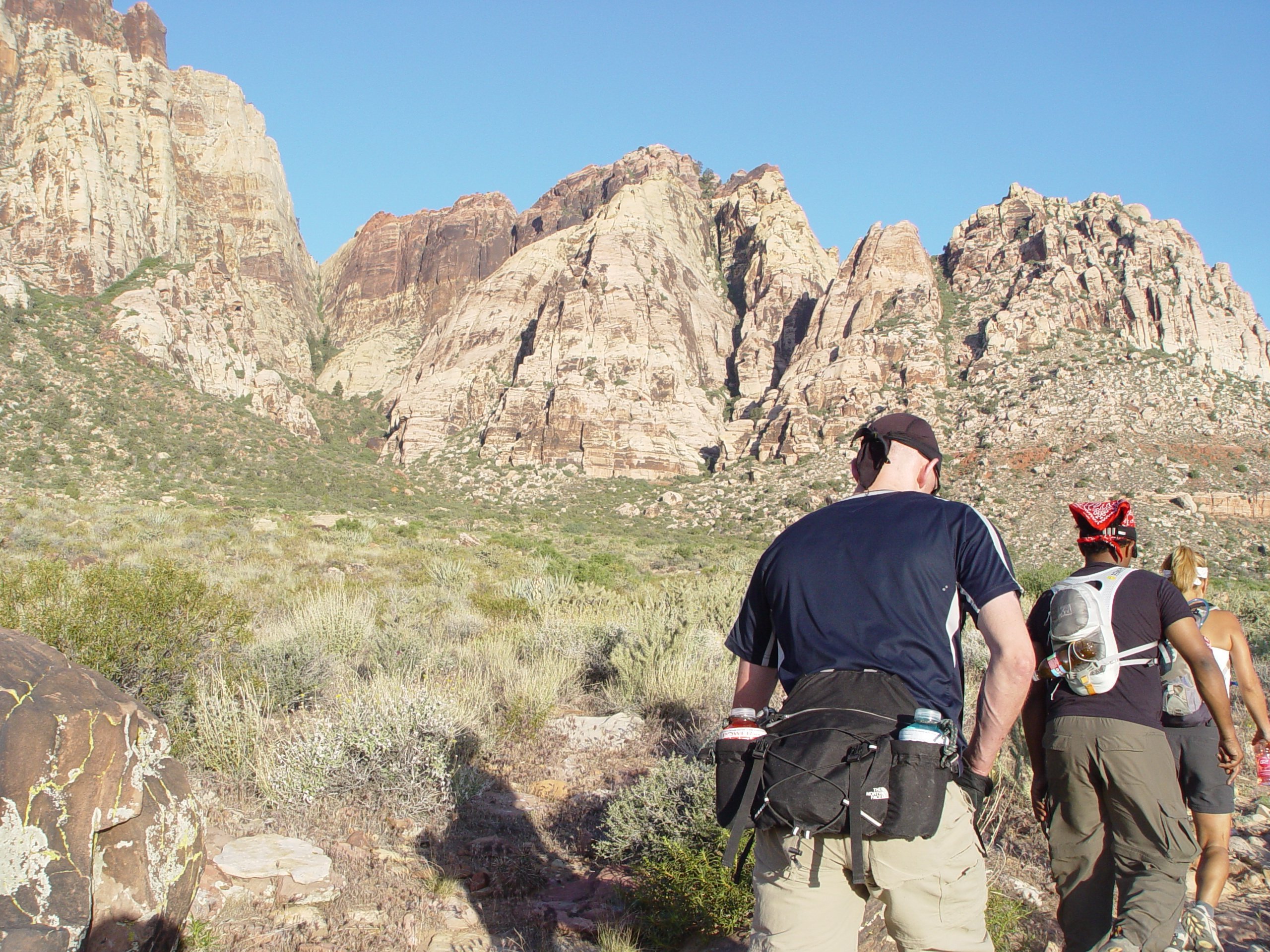
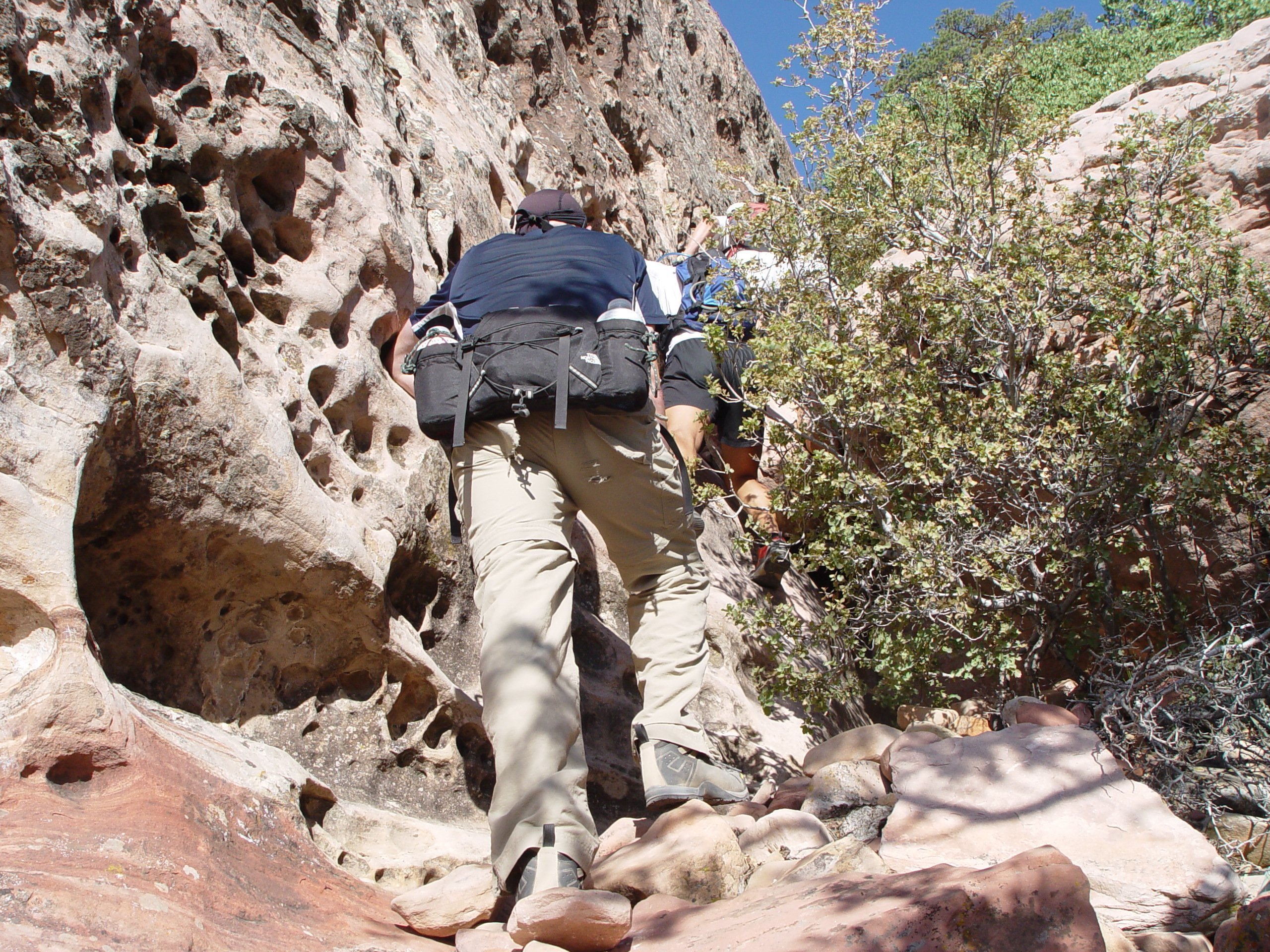
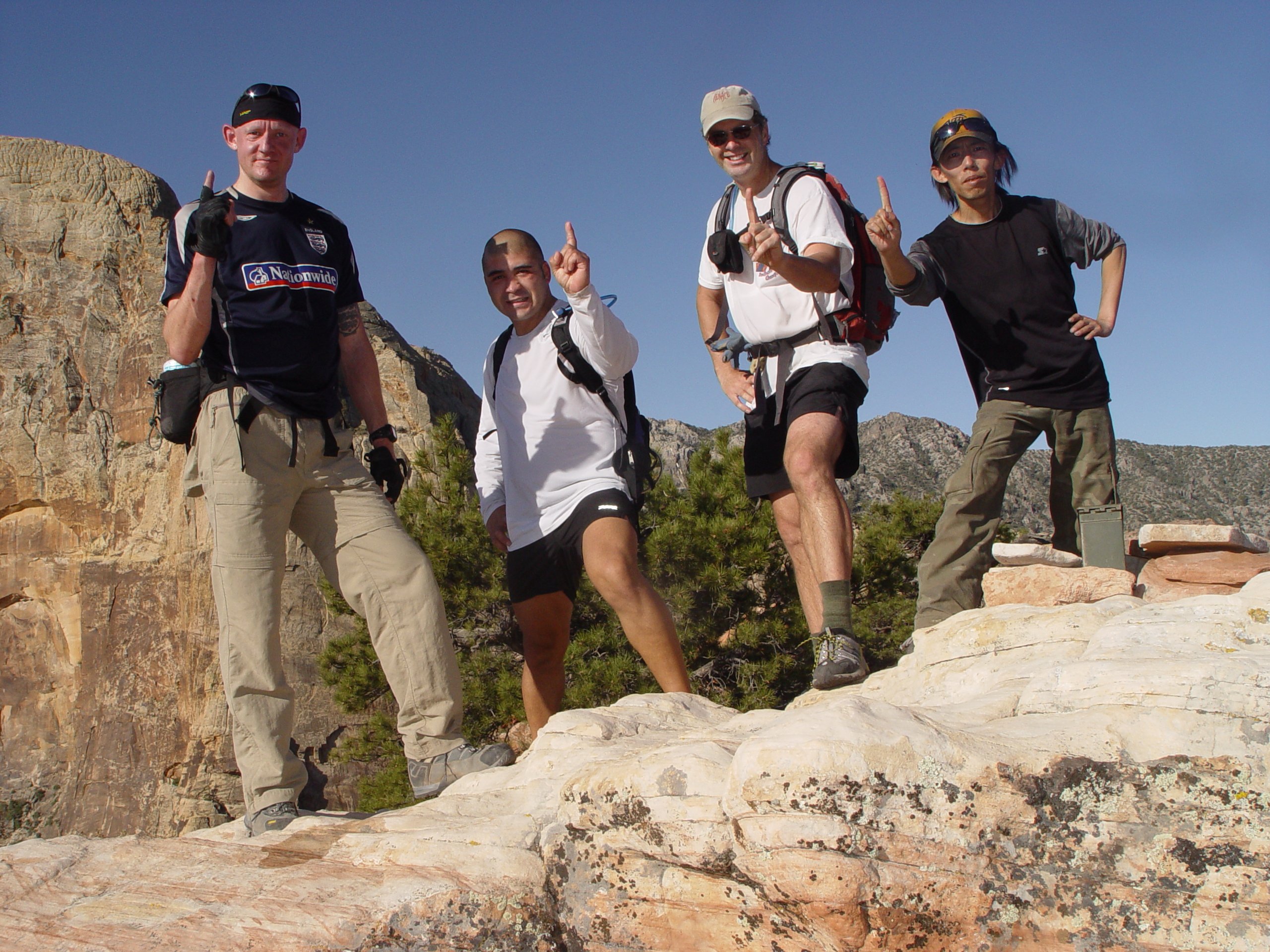
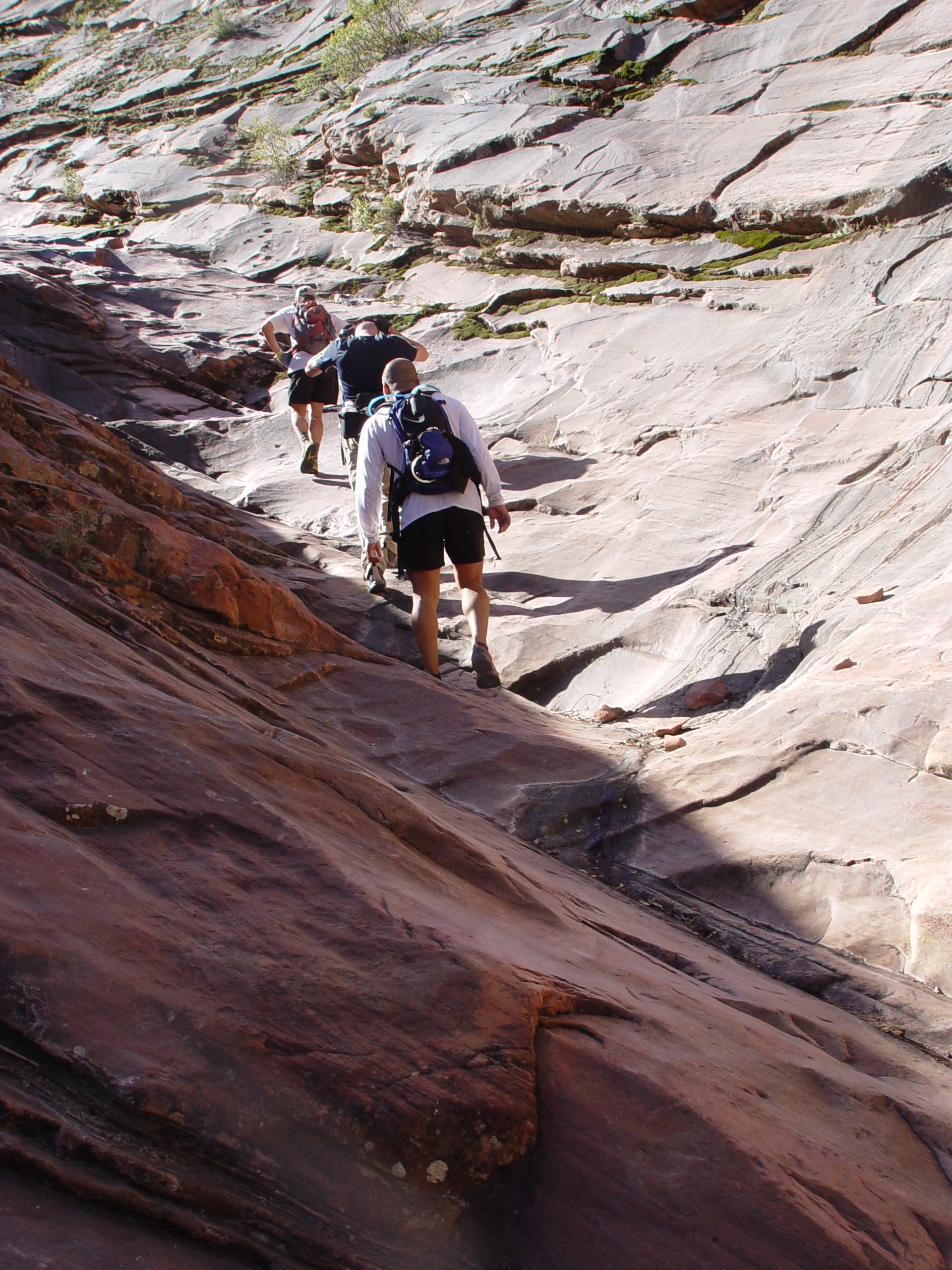
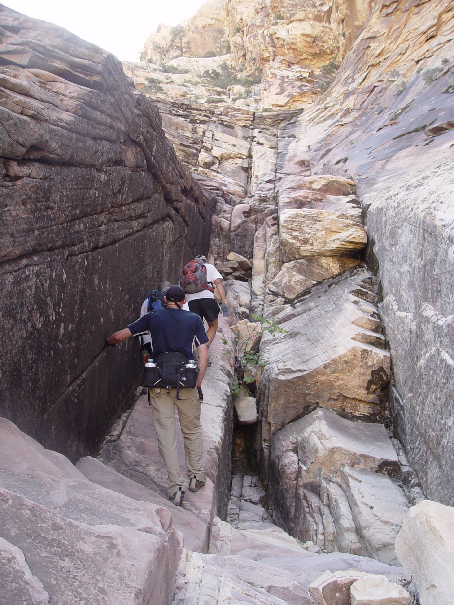
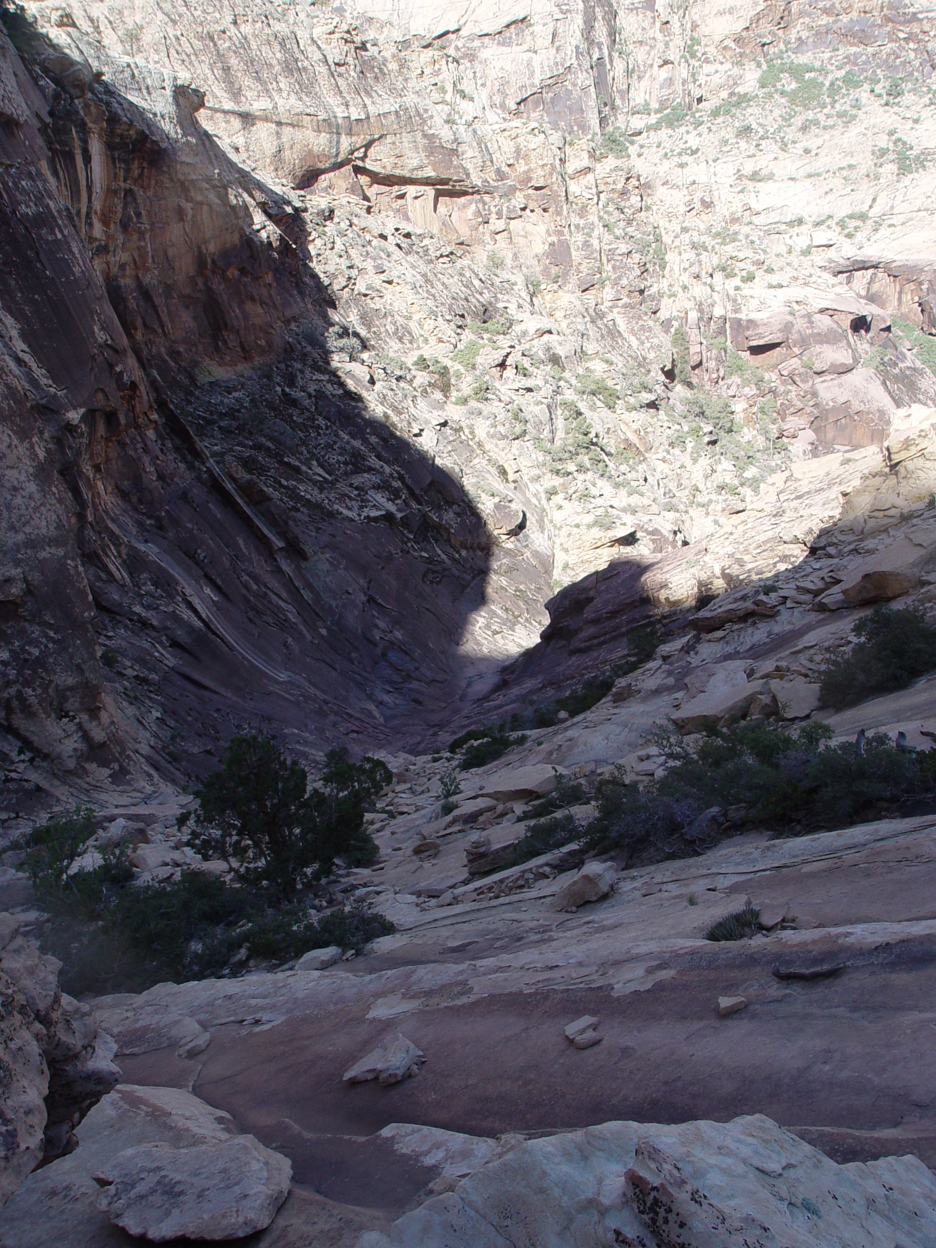
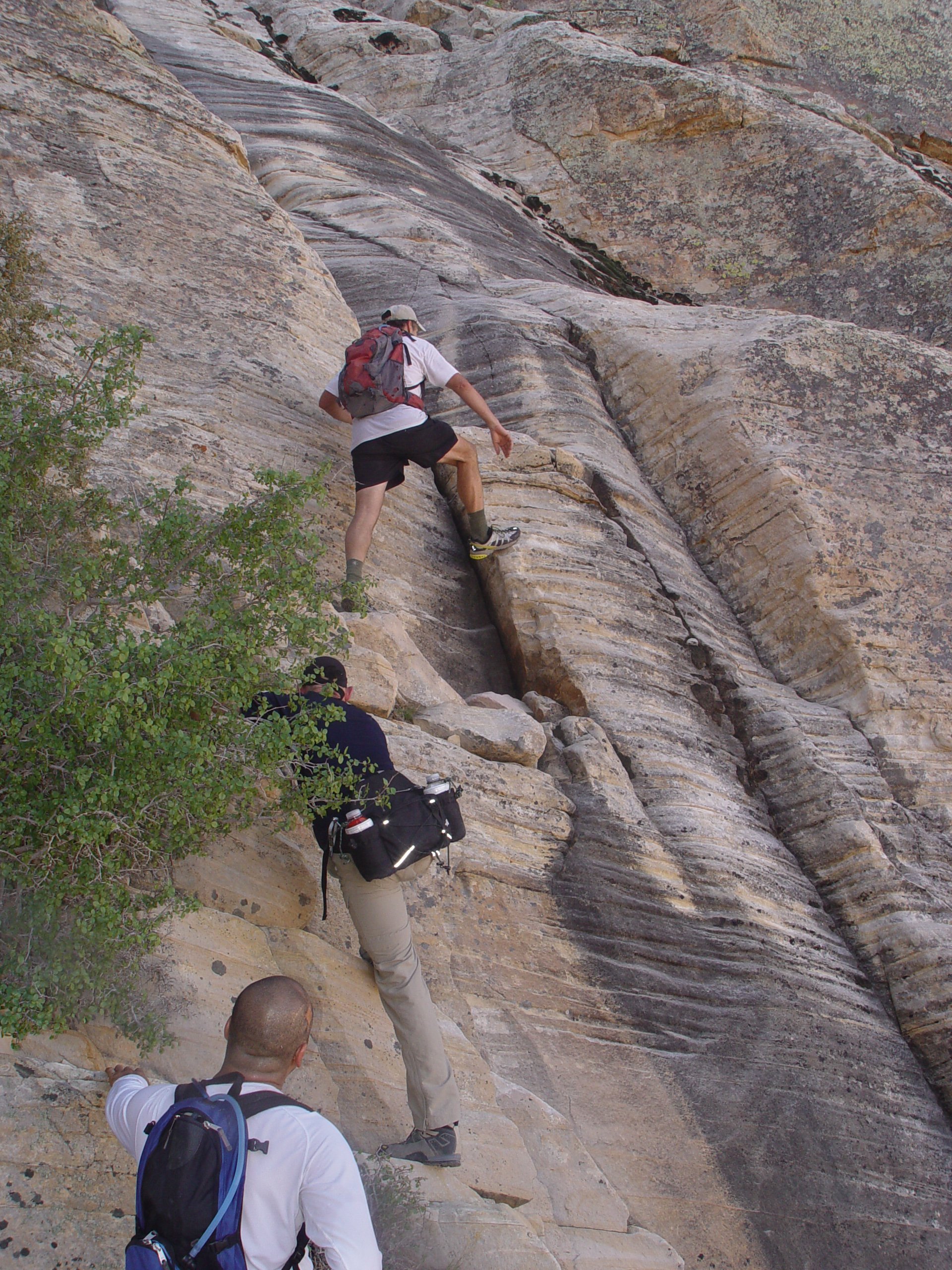
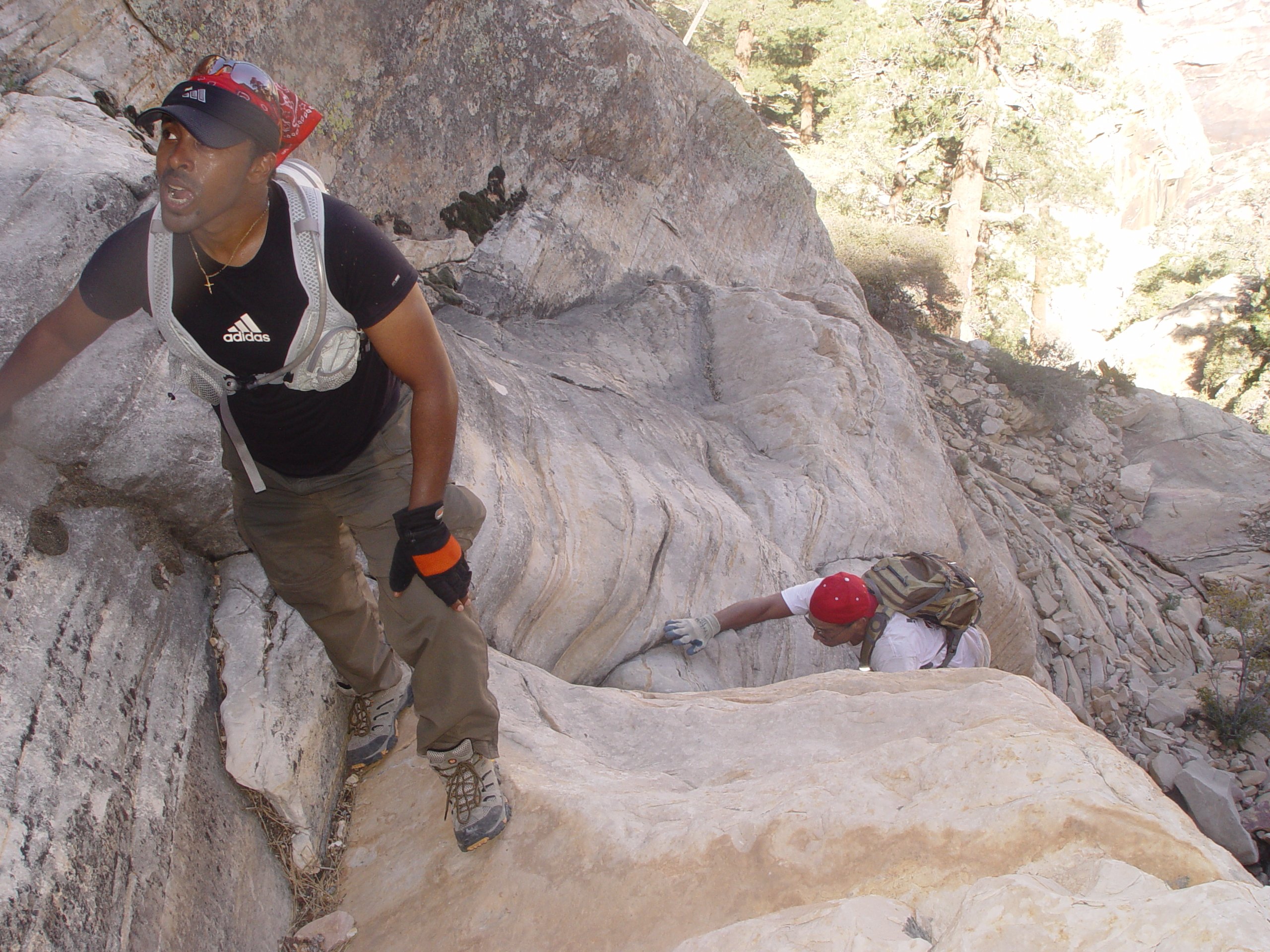
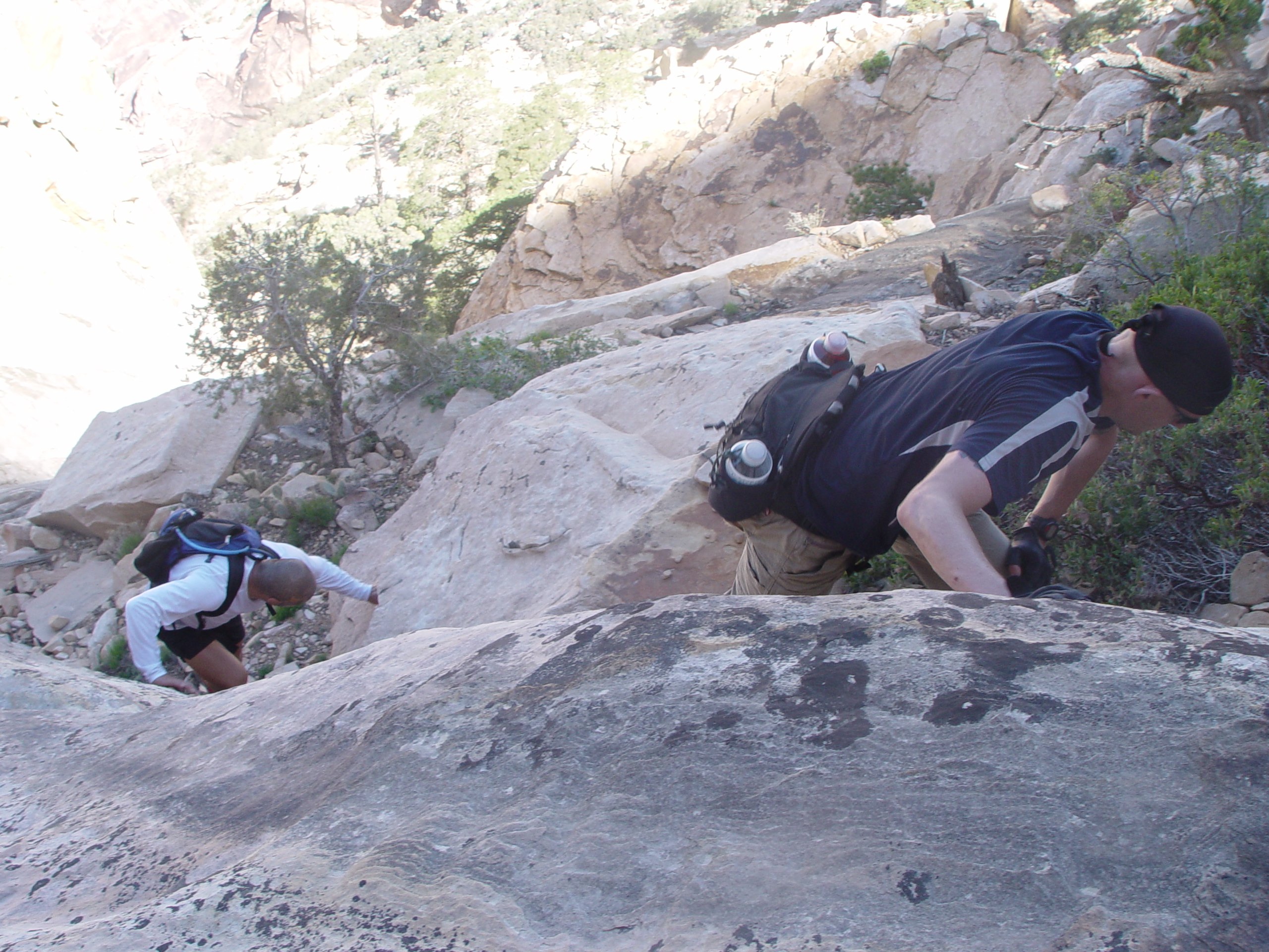
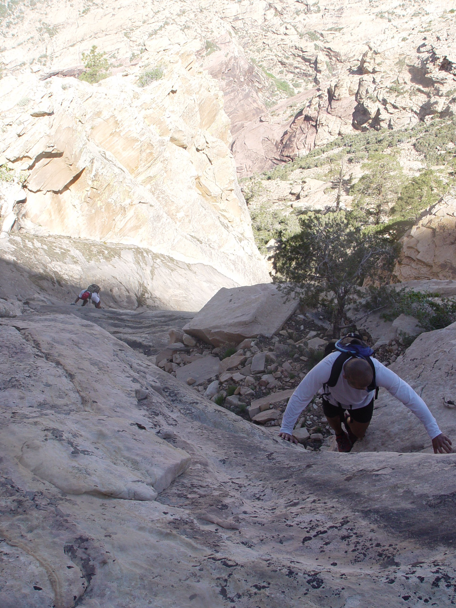
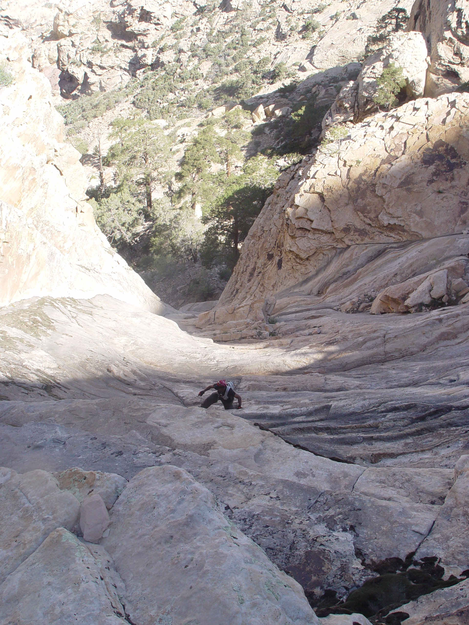
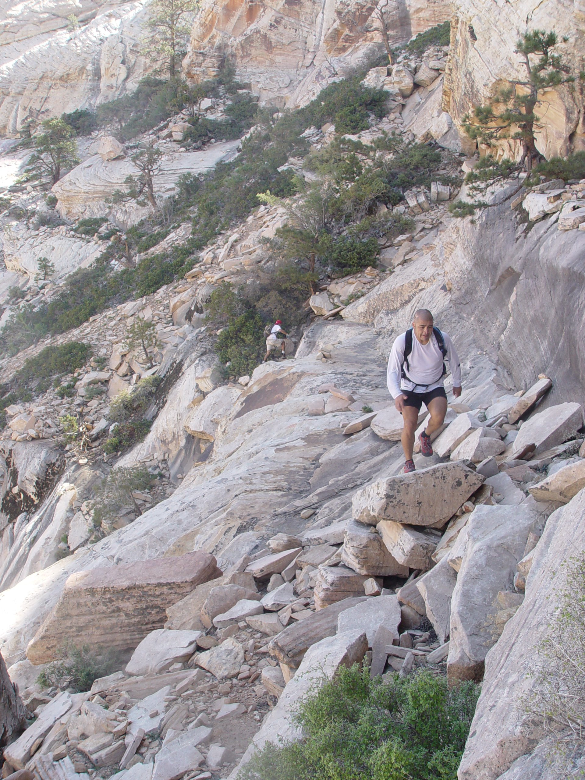
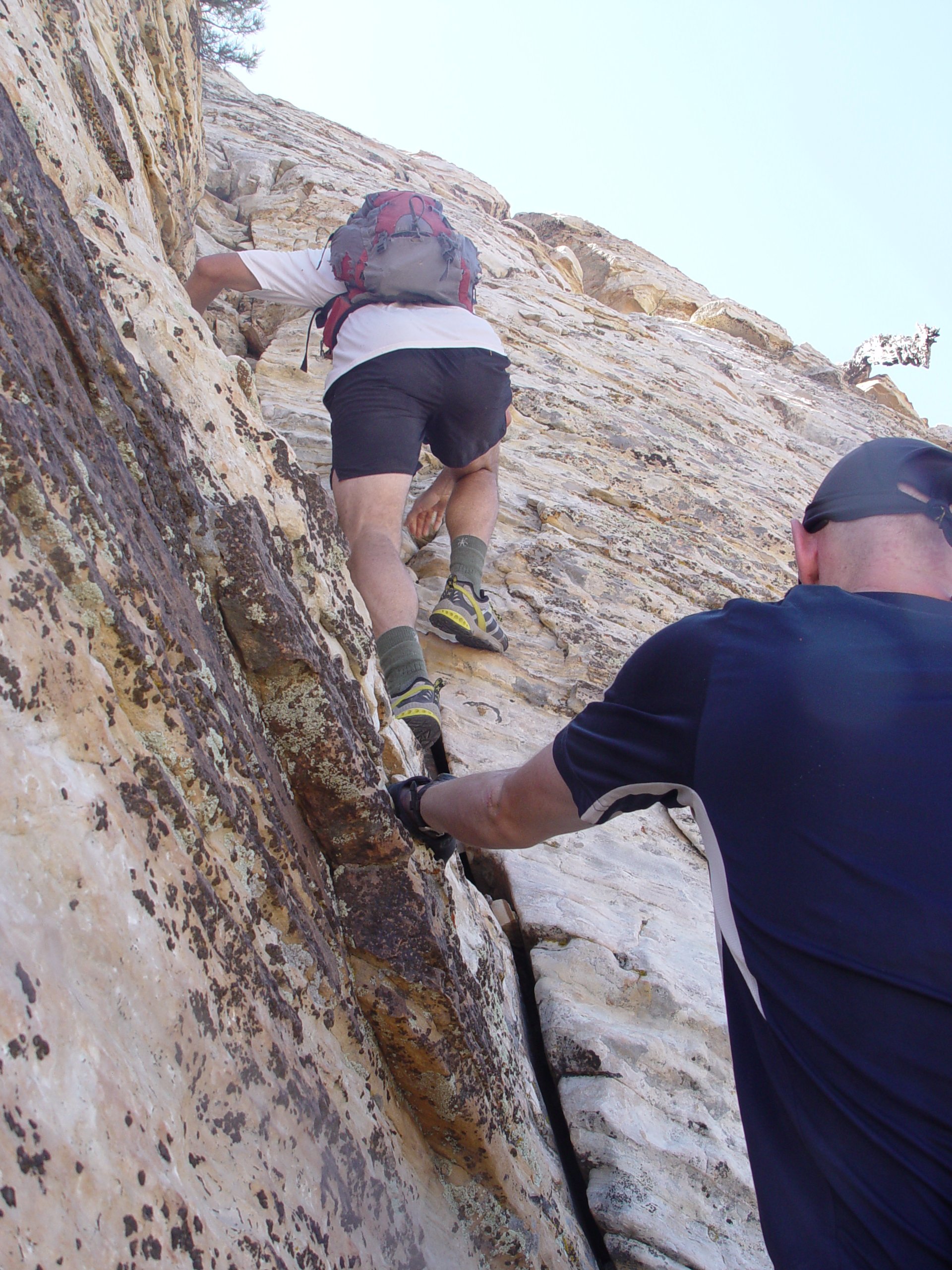
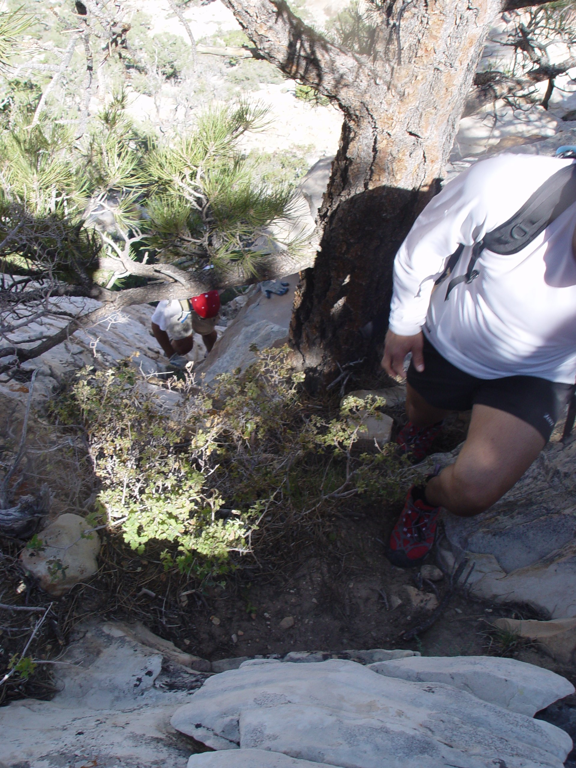
| Branch Whitney posted one of the most hardest hike ever on the meetup. It is 'Beyond Hard Core: 4 Peak Hike in Red Rock '. He did this hike only once 12 years ago. Those 4 peaks are Juniper Peak, Gunsight Notch Peak, Rainbow Peak and Mt.Wilson Peak. According to Branch Whitney's hike difficulty, Juniper Peak is 3, Gunsight Notch Peak is 4, Rainbow Peak is 5 (its not on his web, but its harder than Rainbow Wall and it is rated 5) and Mt.Wilson is 5. 7 of us (Branch Whitney, Mark, Hector, Calvin, Sirak, Kiwi and me) met 5:30AM at the Red Rock gate. Its usually open at 6AM, but sometimes open little earlier. Actually, they opened the gate 5 minutes earlier on this day. We started hiking around 6:20AM and headed to Juniper Peak. Branch led us very fast pace without any stopping. Kiwi has decided to leave the group in 1.5 miles due to this fast speed. Calvin, Sirak and I was little bit slower than another 3 hikers. I caught up first group at the Peak. 4 of us (Branch, Mark, Hector and me) made it Juniper Peak in 71 minutes! We stayed 7-8 minutes at there, but Calvin and Sirak didn't show up. We had decided to head down to Pine Creek without them. They had to find the descent route by themselves, but somehow they made it and they caught up us on the way down. Once 6 of us regrouped, we got down to Pine Creek. Then we headed up to Gunsight Notch Peak. Its very steep hill climb. Sirak was getting slower again and dropped from group. 5 of us made it to the Gunsight Notch Peak in 88 minutes from Juniper Peak. When we left the peak, we heard Sirak was yelling. He had already passed the Gunsight Notch and sitting on the other side of the hill. Once we regrouped again, we headed up to Rainbow Peak. It was warm day and the temperature was kept rising. We didn't get much sun shade to avoid heat. We were losing energy very quickly. Sirak couldn't keep up group pace and lost again. Unfortunately he didn't know the route and headed to Rainbow 'Wall' instead of Rainbow 'Peak'. He tried to catch up us. He couldn't made it to the Rainbow peak, but caught us. So far, we made 3 peaks but he made only 1. Again, we regrouped and headed down to Oak Creek. There is one more peak to go...'Mt.Wilson'. We scrambled down the Oak Creek. When we reached the turning point to the Cleaver Crack, Branch asked us that who still wants to go up Mt.Wilson. Everyone were already exhosted at this moment. Sirak and Calvin decided to leave the group. So, 4 of us decided to climb the last Peak. The route to the Mt.Wilson Peak was called 'Cleaver Crack route' that was found back in 60's and never done again until Branch found 40 years later. This route is very steep and has lots of class 3-4 spots. One of the shortest route up to the Mt.Wilson Peak. 4 of us took a long break on the way up. I could feel my left thigh started cramping up. I have never got that experience and that made me very nervous. There was still long way up and supposed to get one big exposure part that I have never tried. We took a long break at the top of Cleaver crack. There is one exposed class 4 at there. I stretched my muscle and gave them a massage. But my muscle had already beaten up and already out of my control. Fortunately, my thigh didn't cramp at the exposure part and we made it to the peak. It took us over 4 hours from the Rainbow Peak. It was one of the most beautiful moment. We stayed at the peak for a little while and refilled the water that we stashed the last time we came here. We descent the same route that we came up. It was scary moment but I was glad that I joined Branch's scramble hike for last passed half year. That experience really helped me at there. It was the long way back to Oak Creek. But, from there, its an easy hike down to the car. We made it back to the car in 11 hours 45 minutes after we started hiking. Toatal distance of 13.5 mile and about 8,000 ft of total elevation gain. |
 Entire 3D trail map |
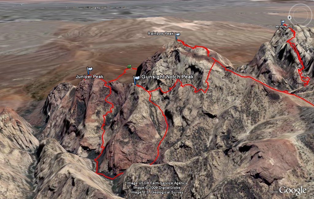 Juniper, Gunsight & Rainbow |
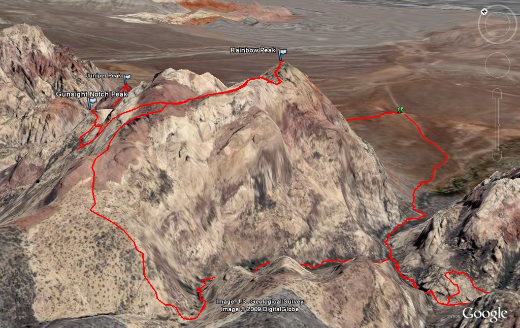 Descent route from Rainbow |
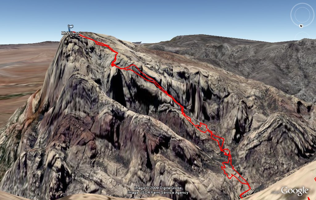 Cleaver Crack route to Wilson |
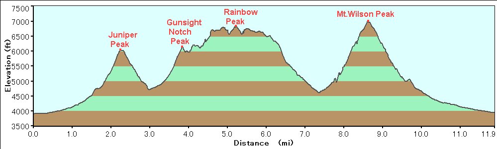 Elevation Chart |
| Click here to see 3D trail map on Google Earth |
| Showing 1-24 of 68 pictures | Next --> |

|

|
|

|
|
|
|

|
|
|

|

|
|
|
|

|
|
|
|
|
|
|
|
|
 |
 |