June 20th - 21st 2009
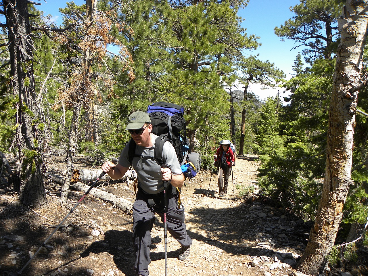
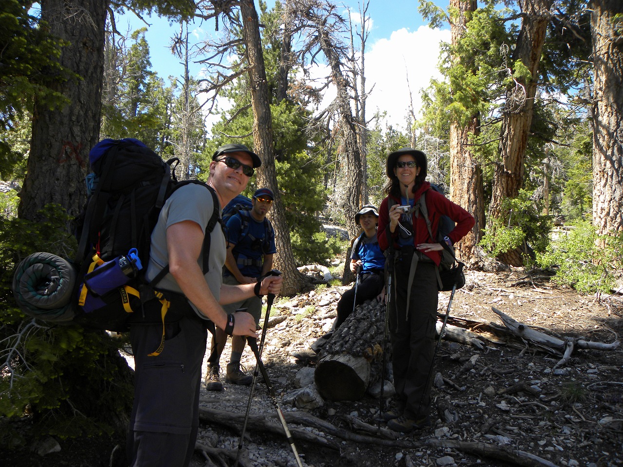
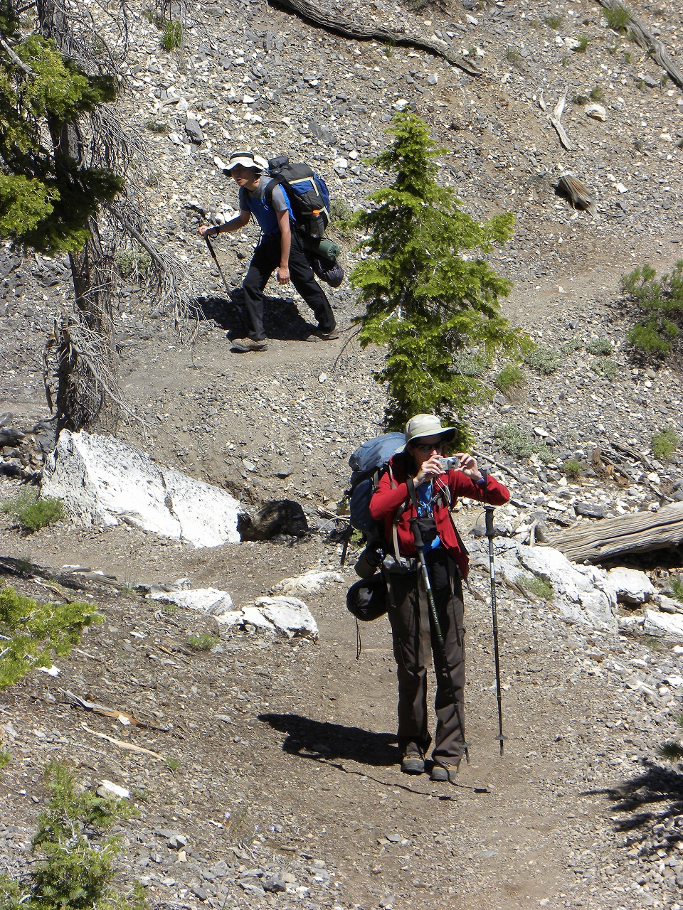
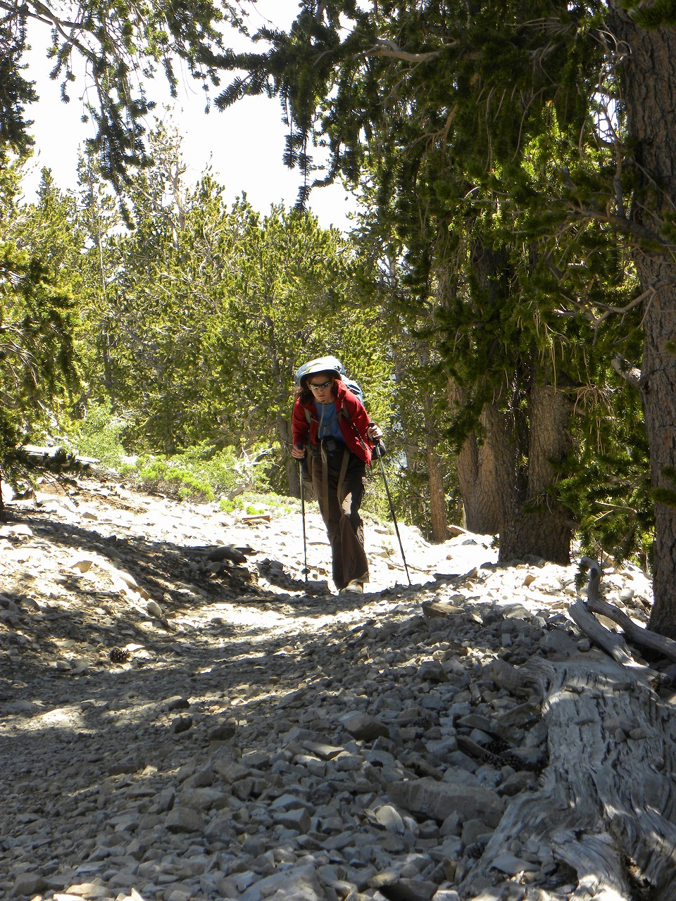
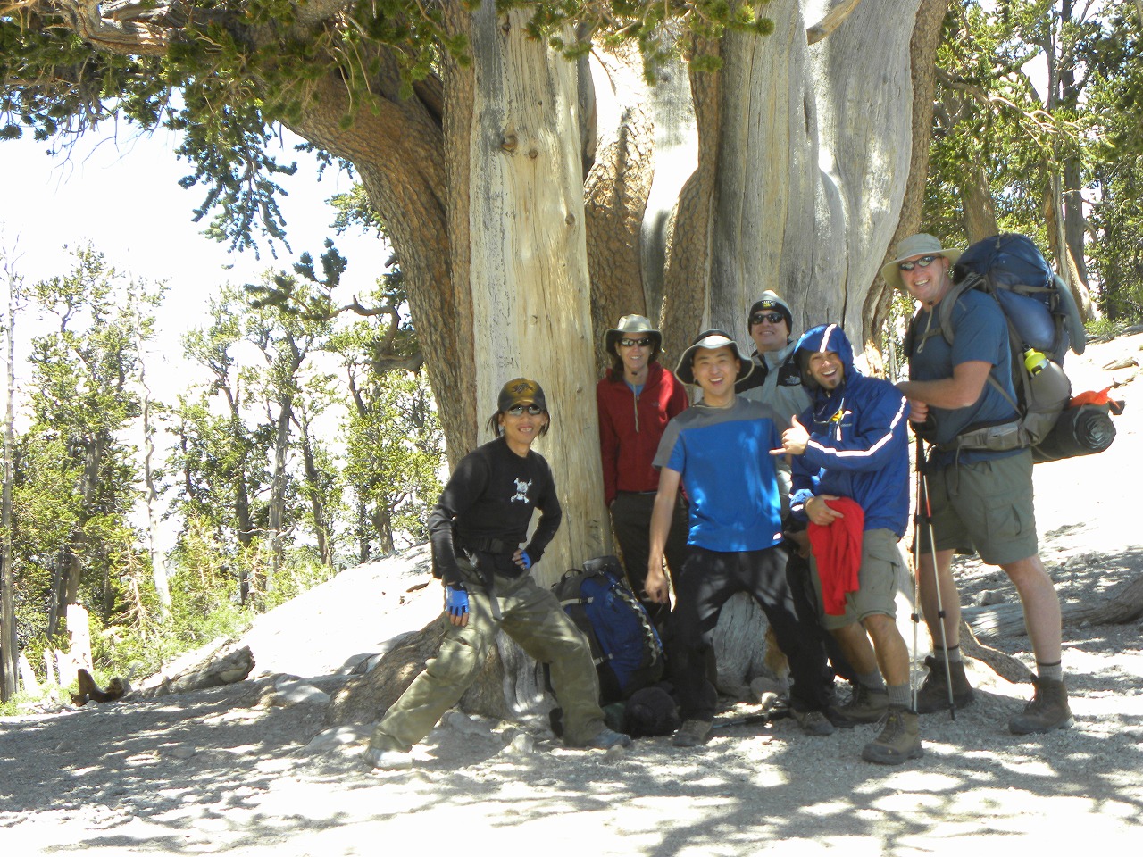
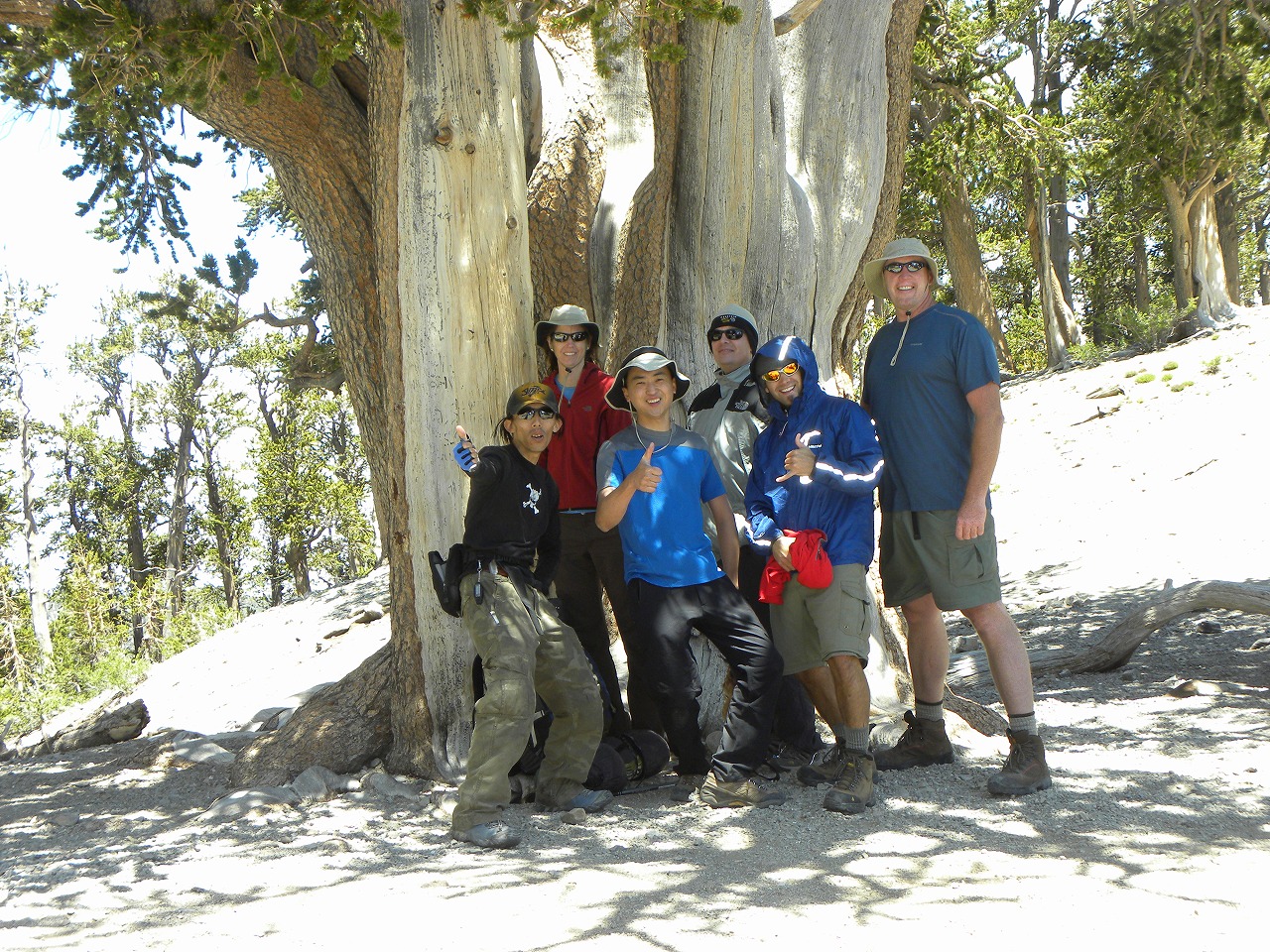
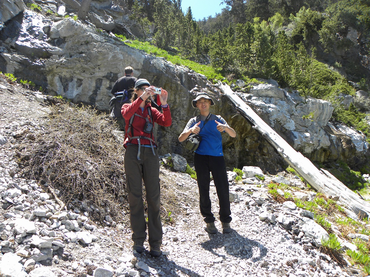
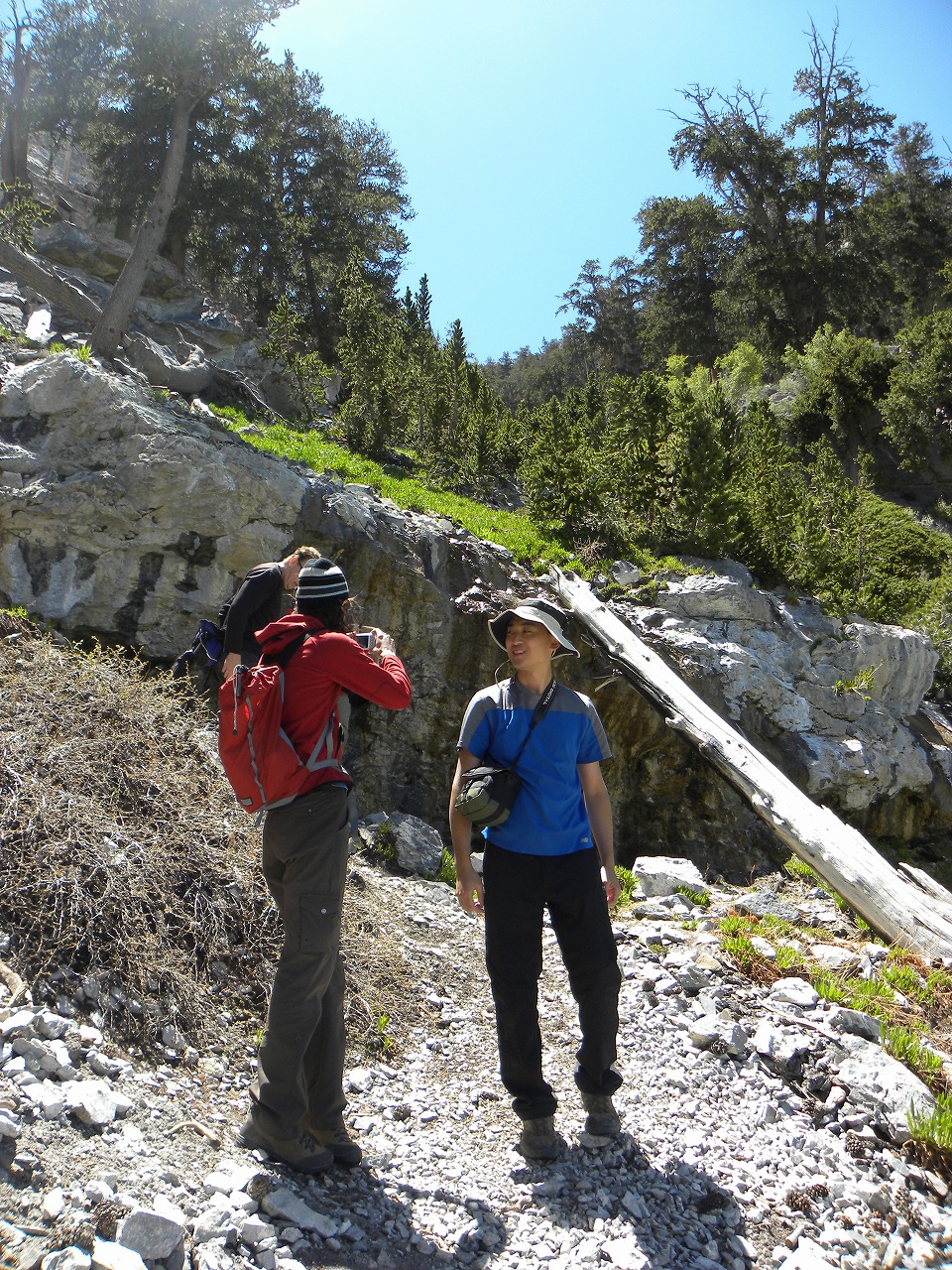
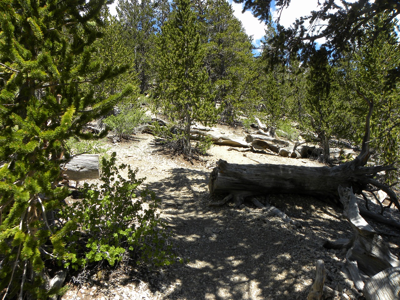
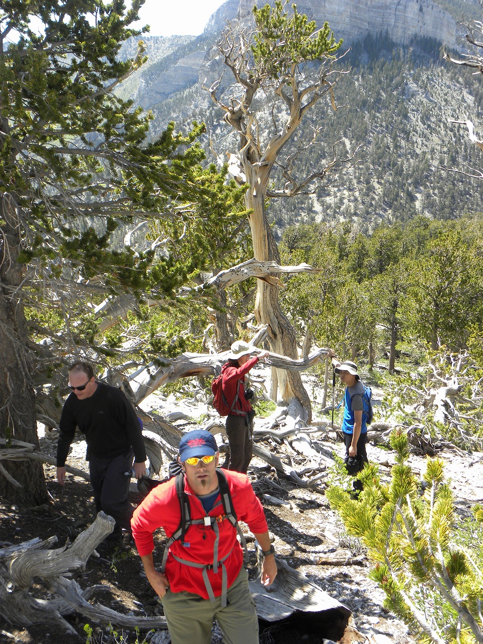
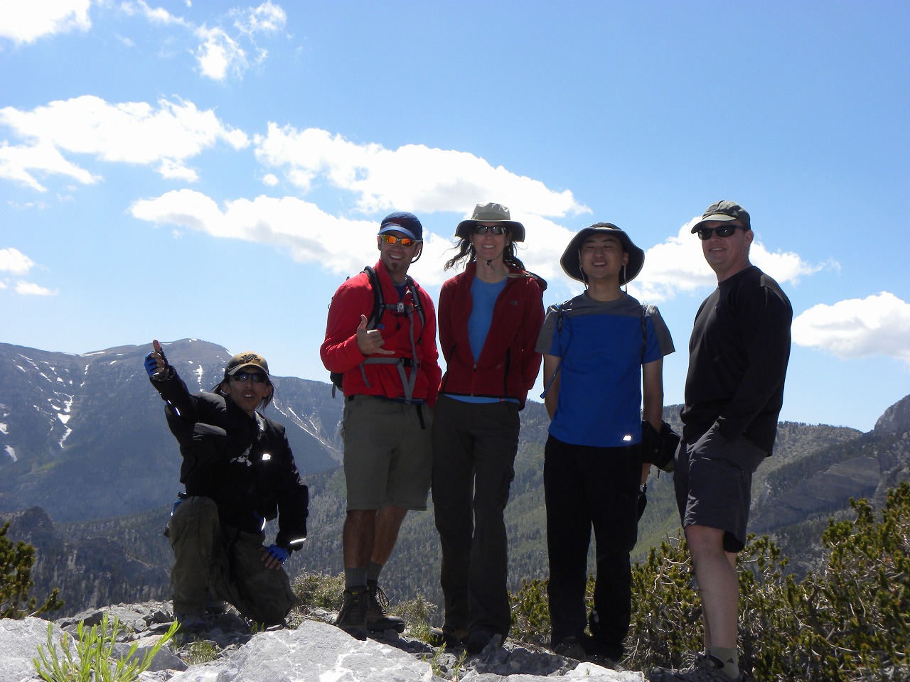
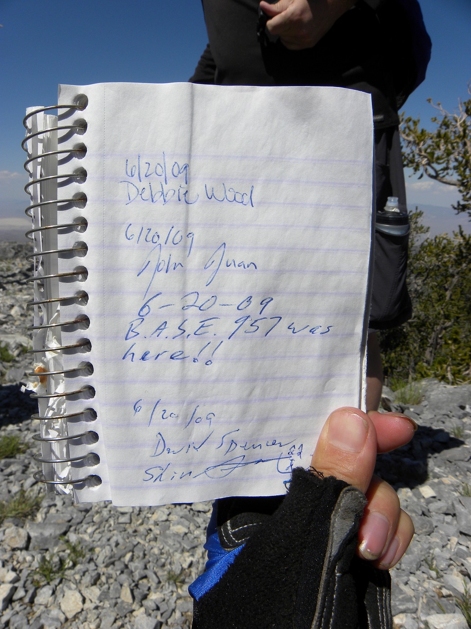
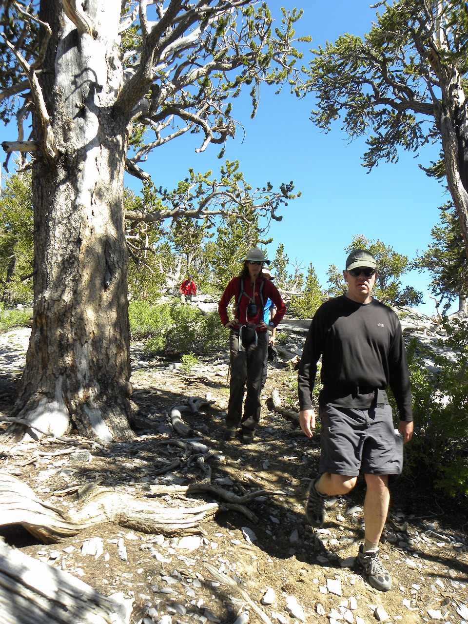
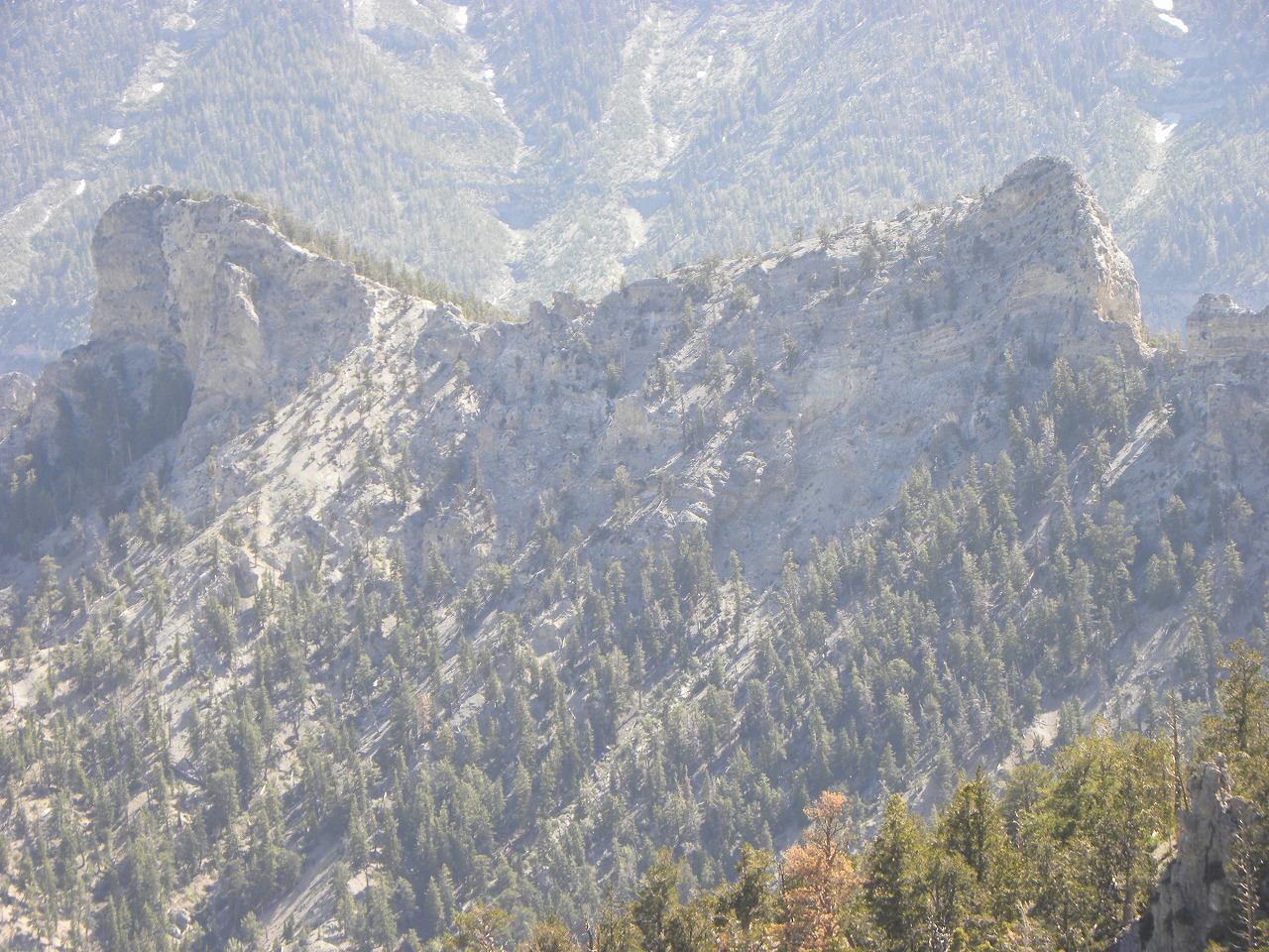
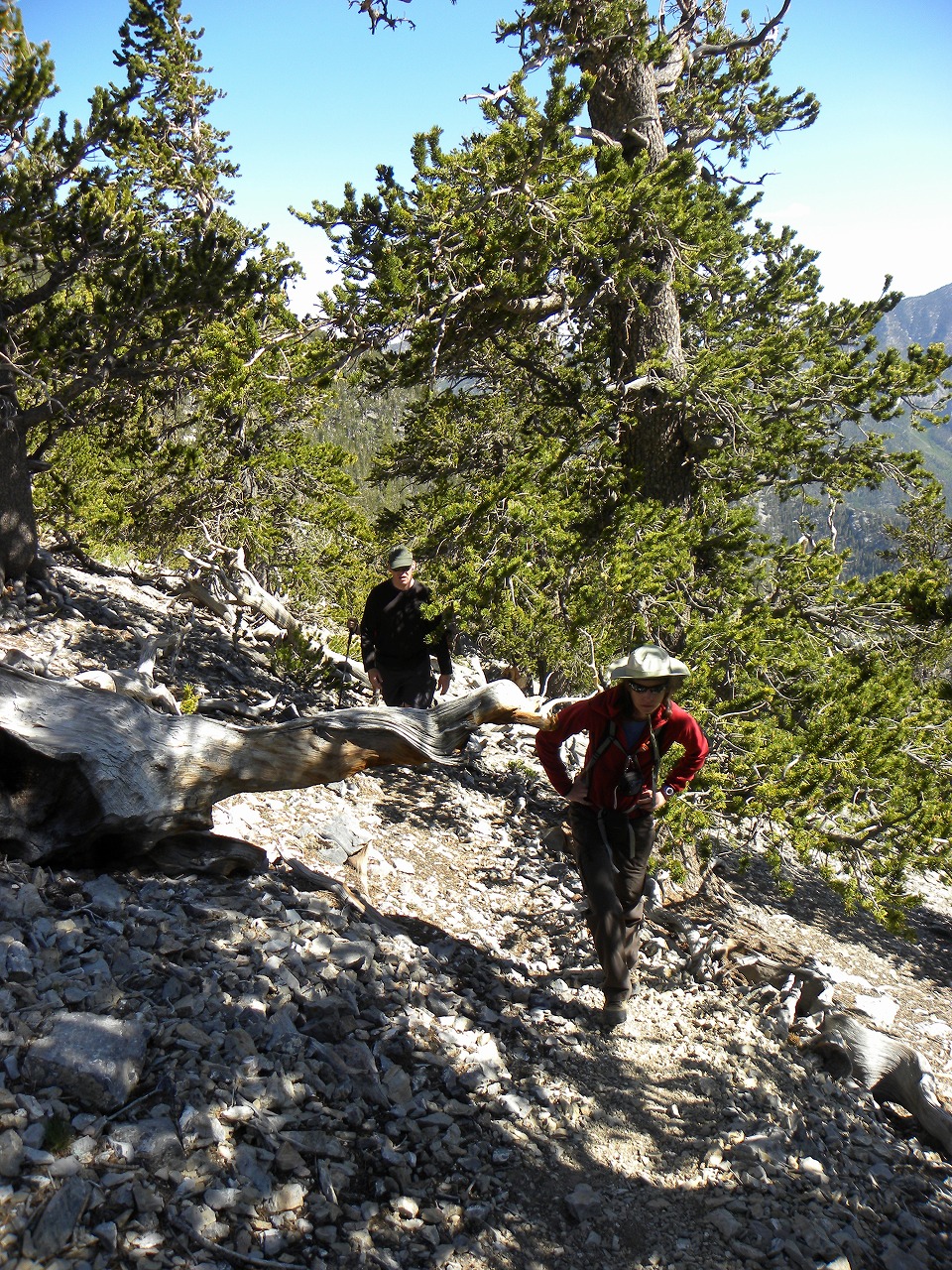
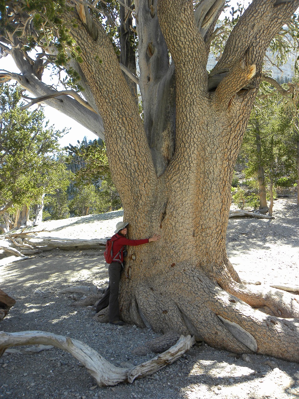
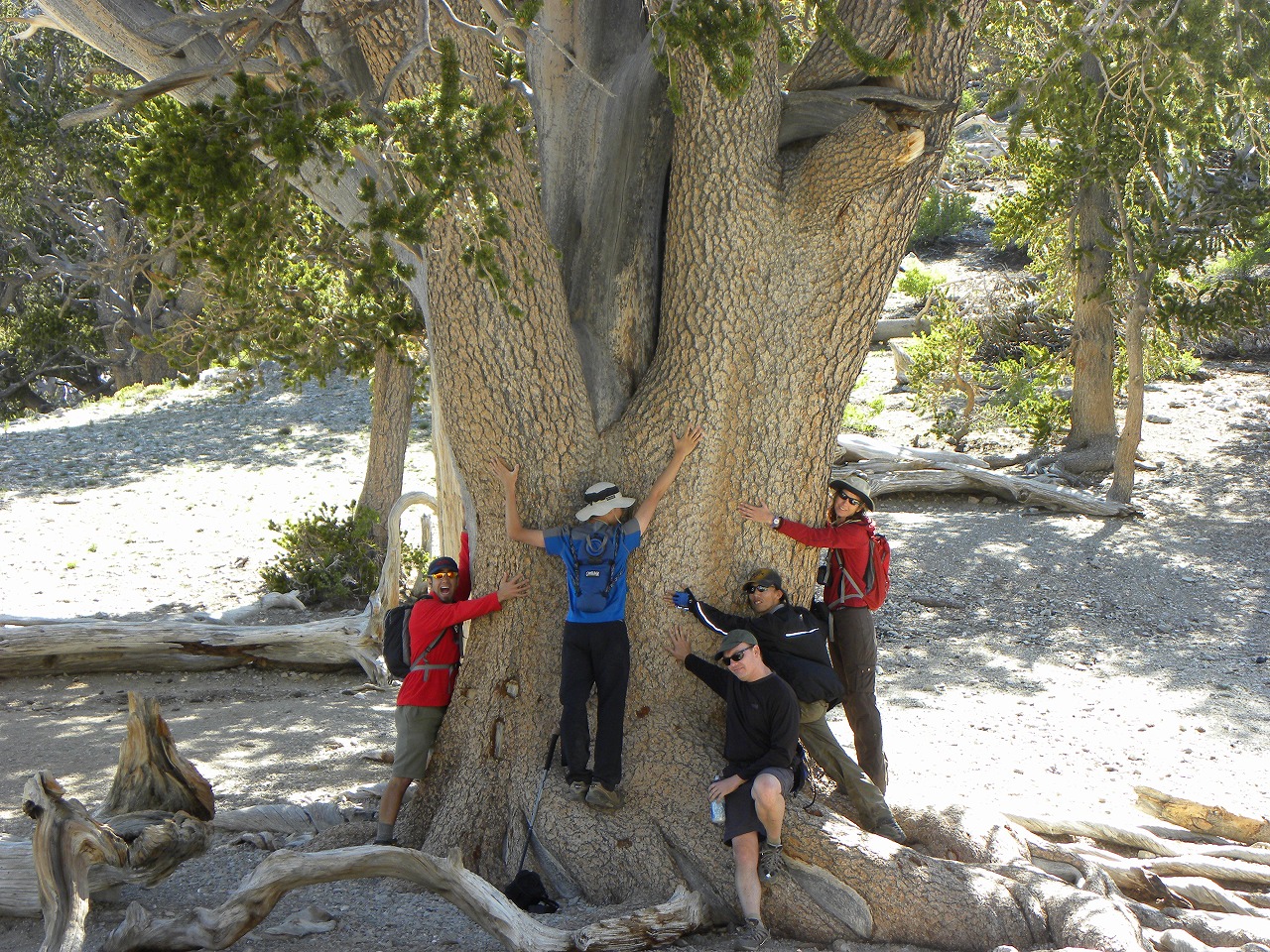
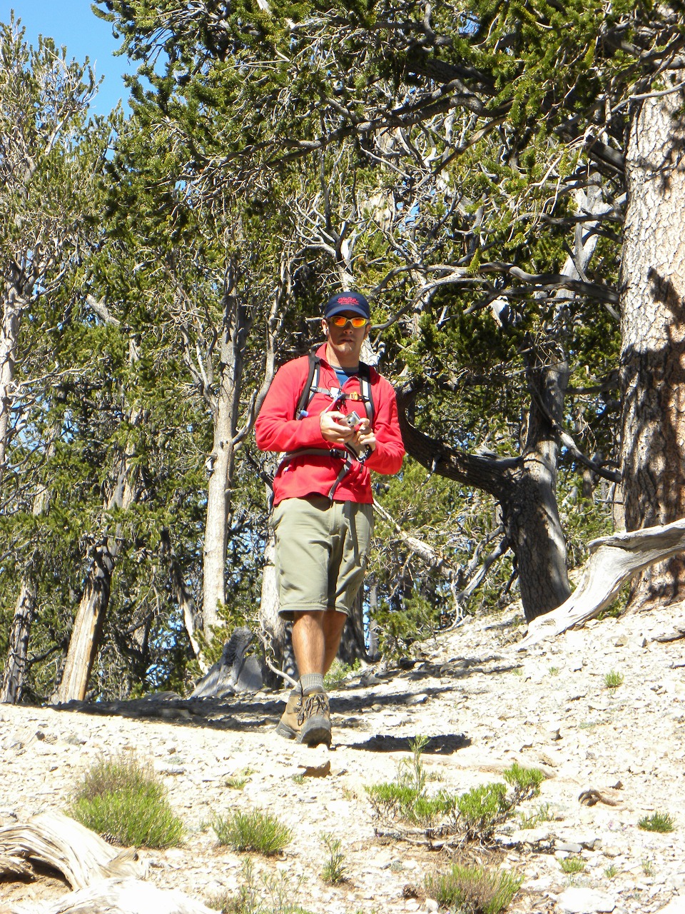
| This backcountry camping was originary Peggy's idea. I joined her camping trip on last year and had a great fun. Unfortunately, she is going to move and no longer be able to post a hike, so I posted it. On Saturday morning, 6 of us (David, Darren, Debbie, James, John and I) showed up at 95/Durango. Thats a 100% show up rate. Wow ! thats great ! We hiked up to our camp site with moderate pace and made it in less than 2.5 hours. After we set up our tent and got extra water at Mummy Springs, we took a short hike to Fletcher Peak. Since our camp site is located around 9,750 ft, we had to climb another 500 ft. That was a peace of cake. We made it in only 35 minutes not even in fast pace. After we got back to our camp site, we cooked dinner and had a great time. It was bit chilly at night, but not freezing cold. On Sunday Morning, we woke up early and climbed up to Mummy Mtn. Peak. Since its bit early season to climb up from east face due to the snow, I didn't take a trail. I followed the same elevation line and kept going to the gully thats right under the Mummy's tummy. Then scrambled up to the gully to the peak. The direct line to the peak has covered with snow, so I had to find alternate route. Fortunately, we found good route and never step on the snow to get to the peak. And we made it in 2 hours. We have decided to go down from West face that is the standard route to the Mummy Peak. When we were sliding down at the scree slope, I met Tim, John and Branch's group. We followed the North Loop trail and got back to our camp site in 2 hours. After we packed up our tent, we went back to our car. Darren and I took short-cut route and made it back to the car in 45 minutes. |
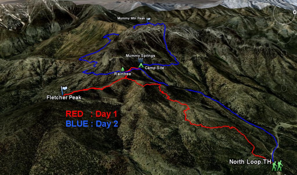 Entire 3D trail map |
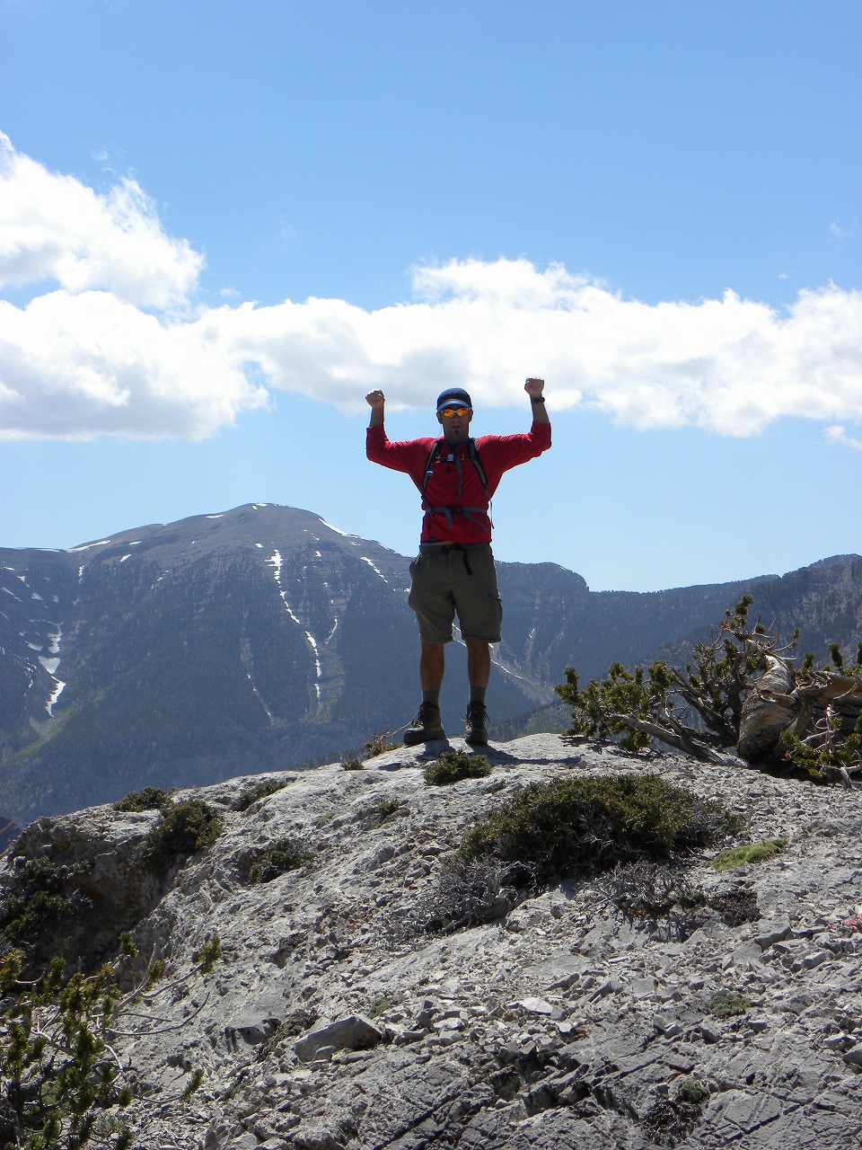
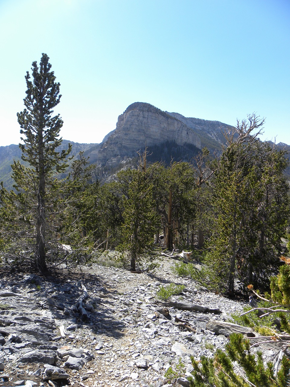
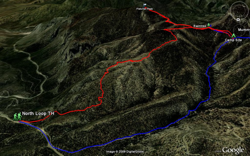 Fletcher Peak |
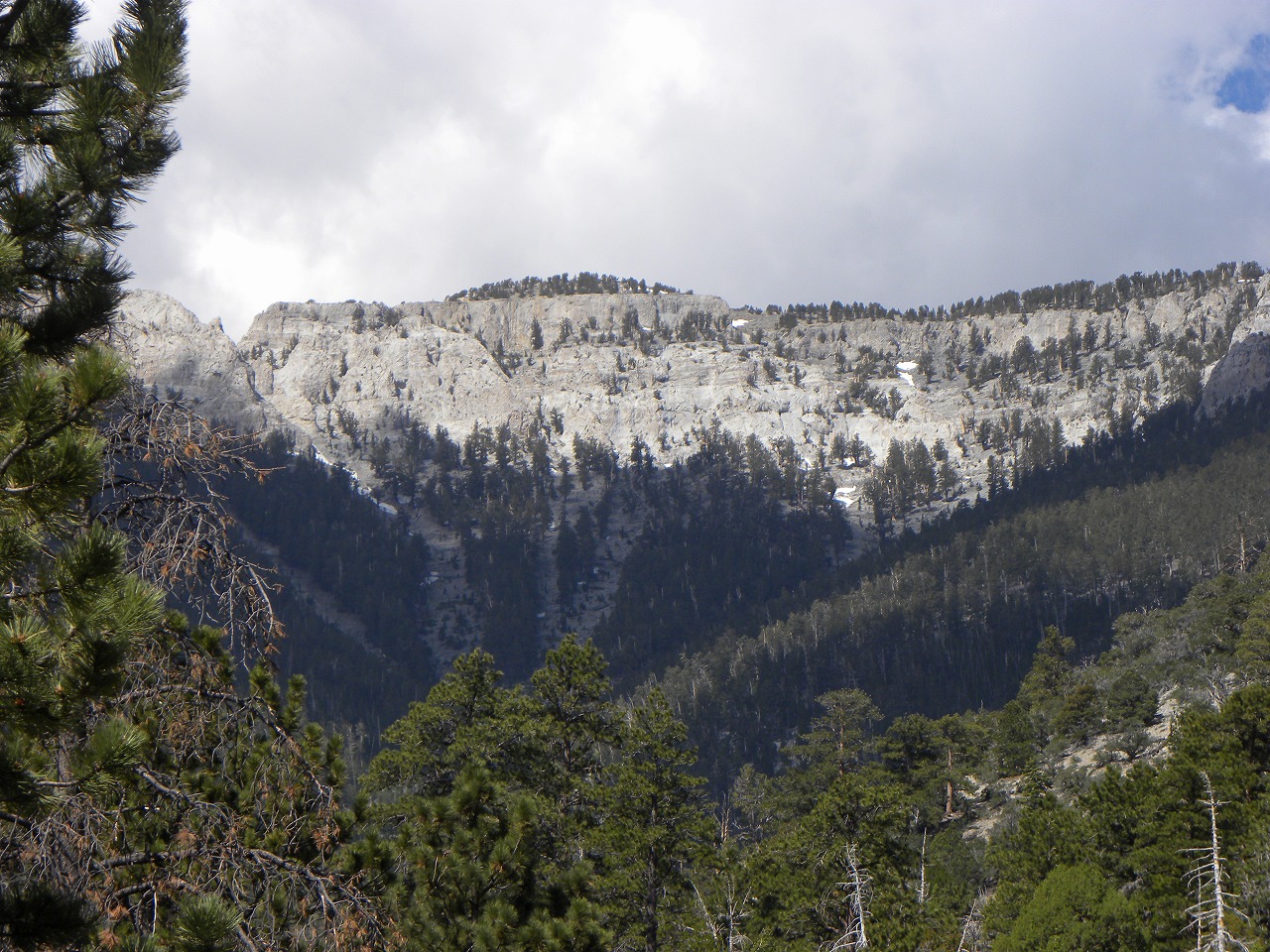
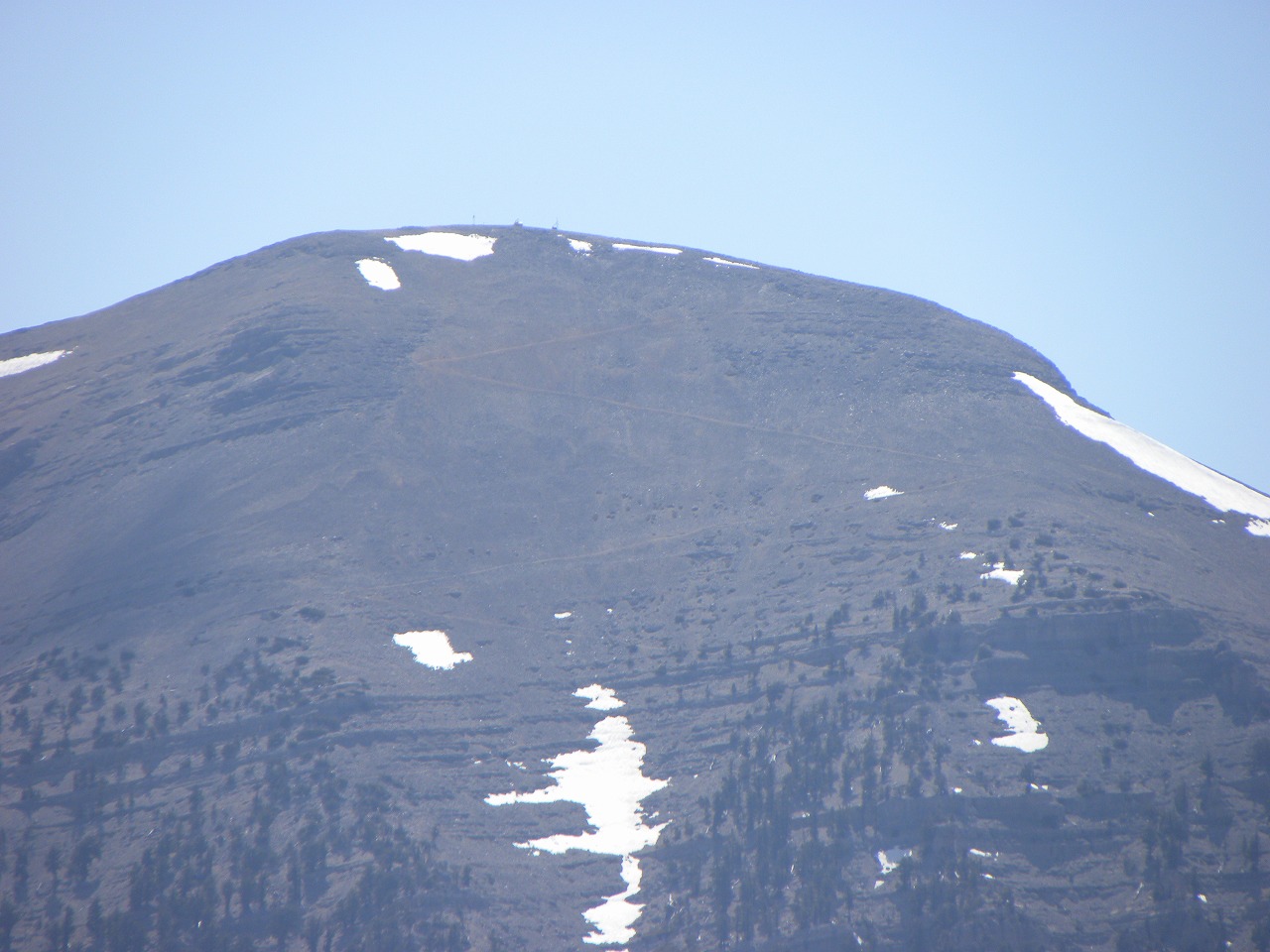
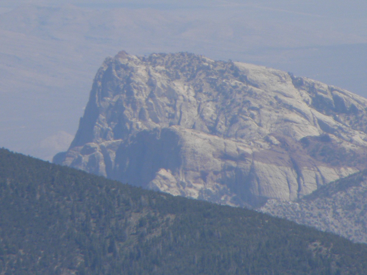
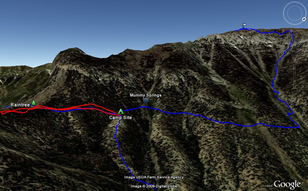 Mummy Mtn East Face |
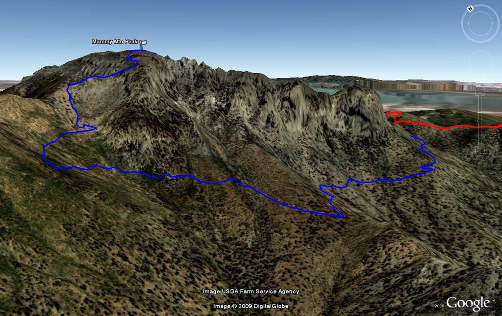 Mummy Mtn West Face |
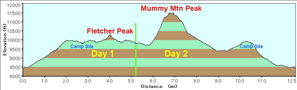 Elevation Chart |
| Click here to see 3D trail map on Google Earth |
| Showing 1-24 of 81 pictures | Next --> |
|
|
|
|
|
|
|
|
|
|
|
|
|
|
|
|
|
|
|
|
|
|
|
|
 |
 |