July 5th 2009
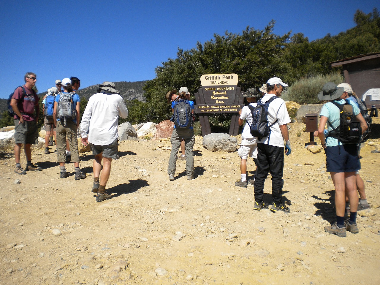
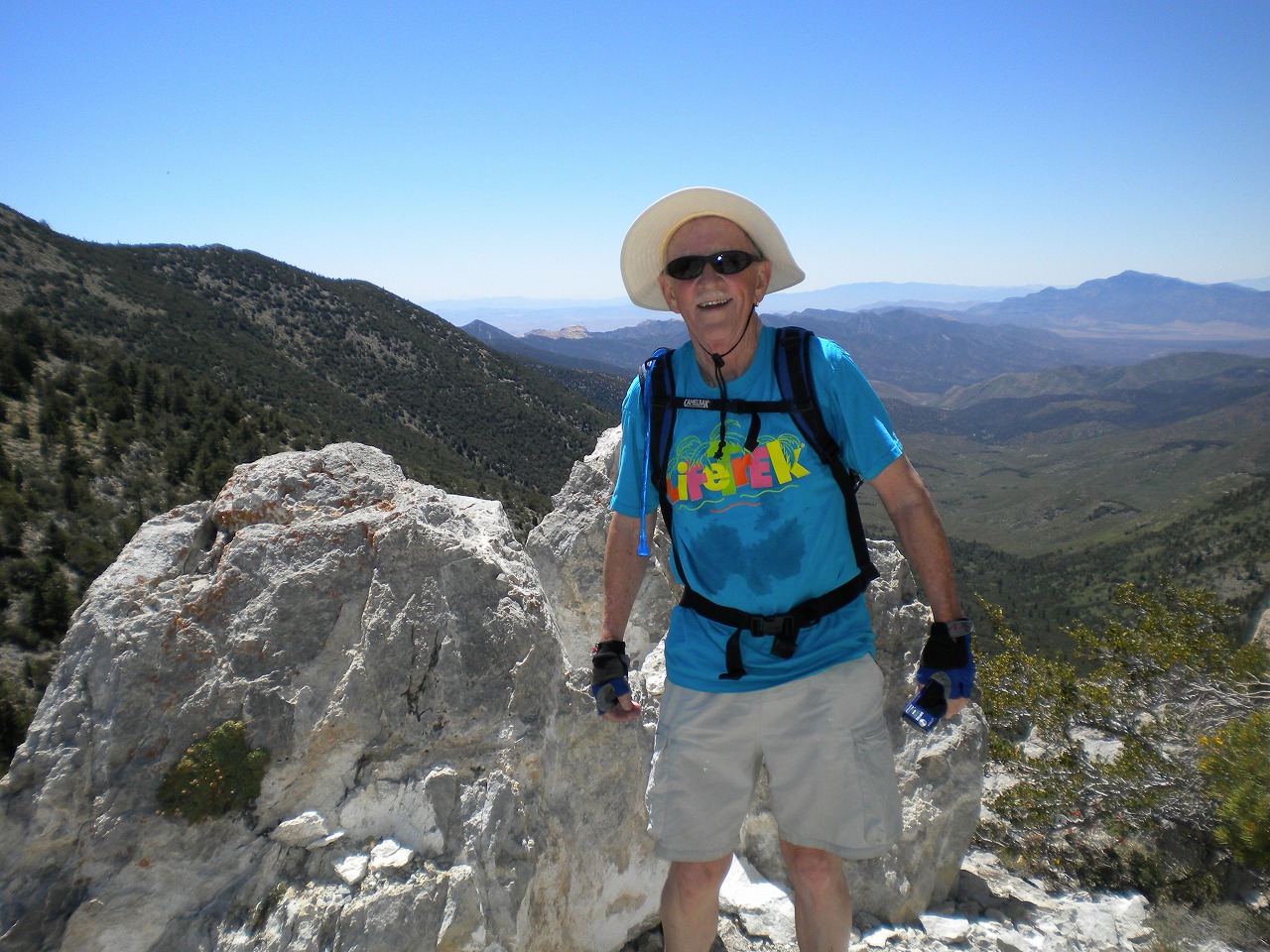
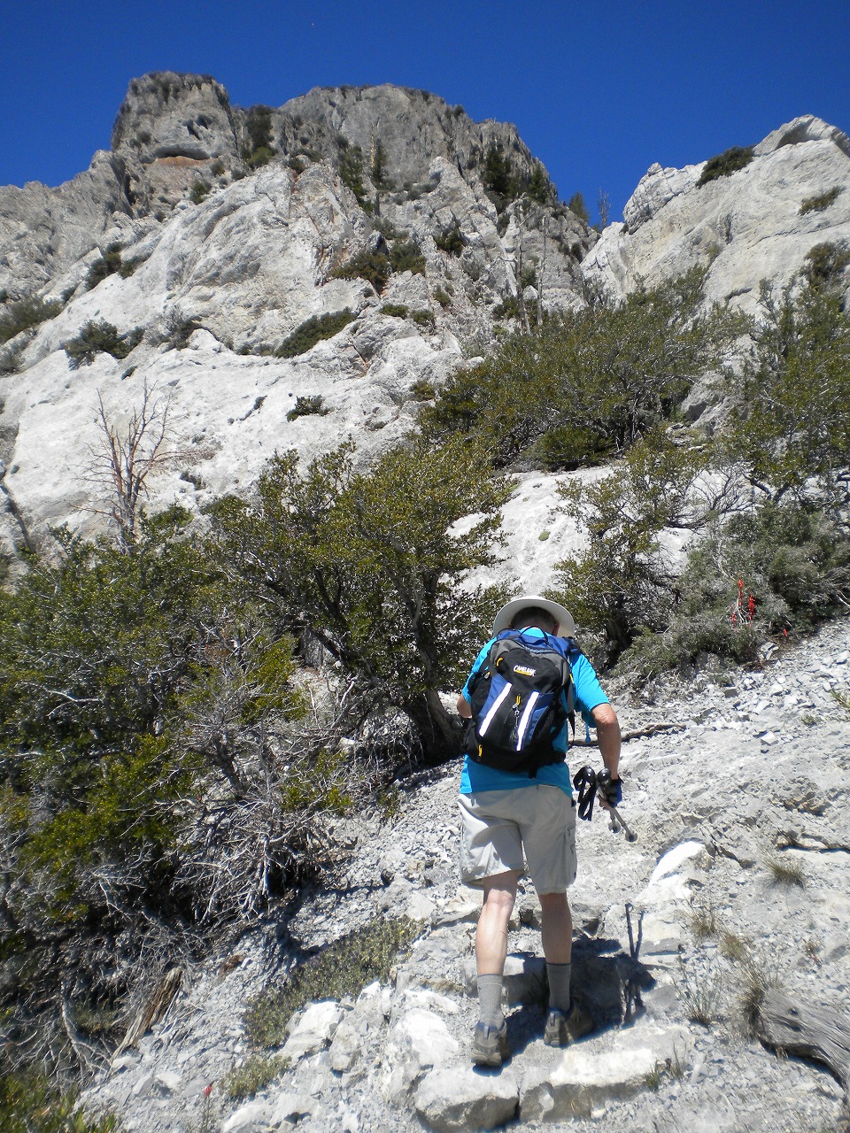
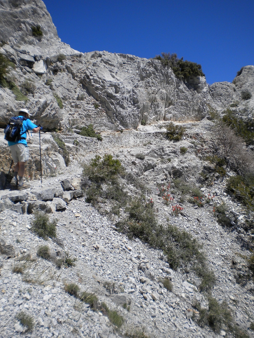
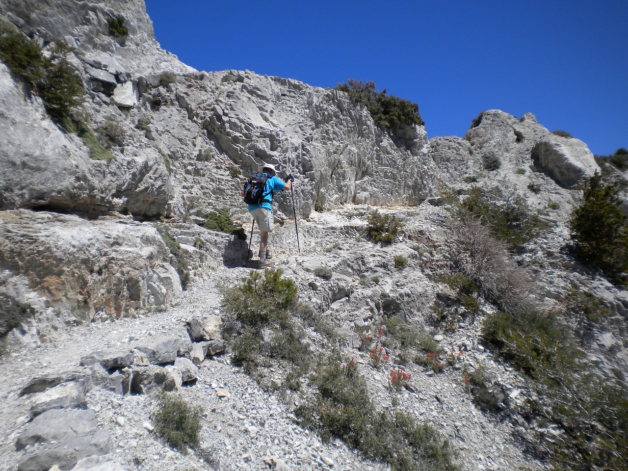
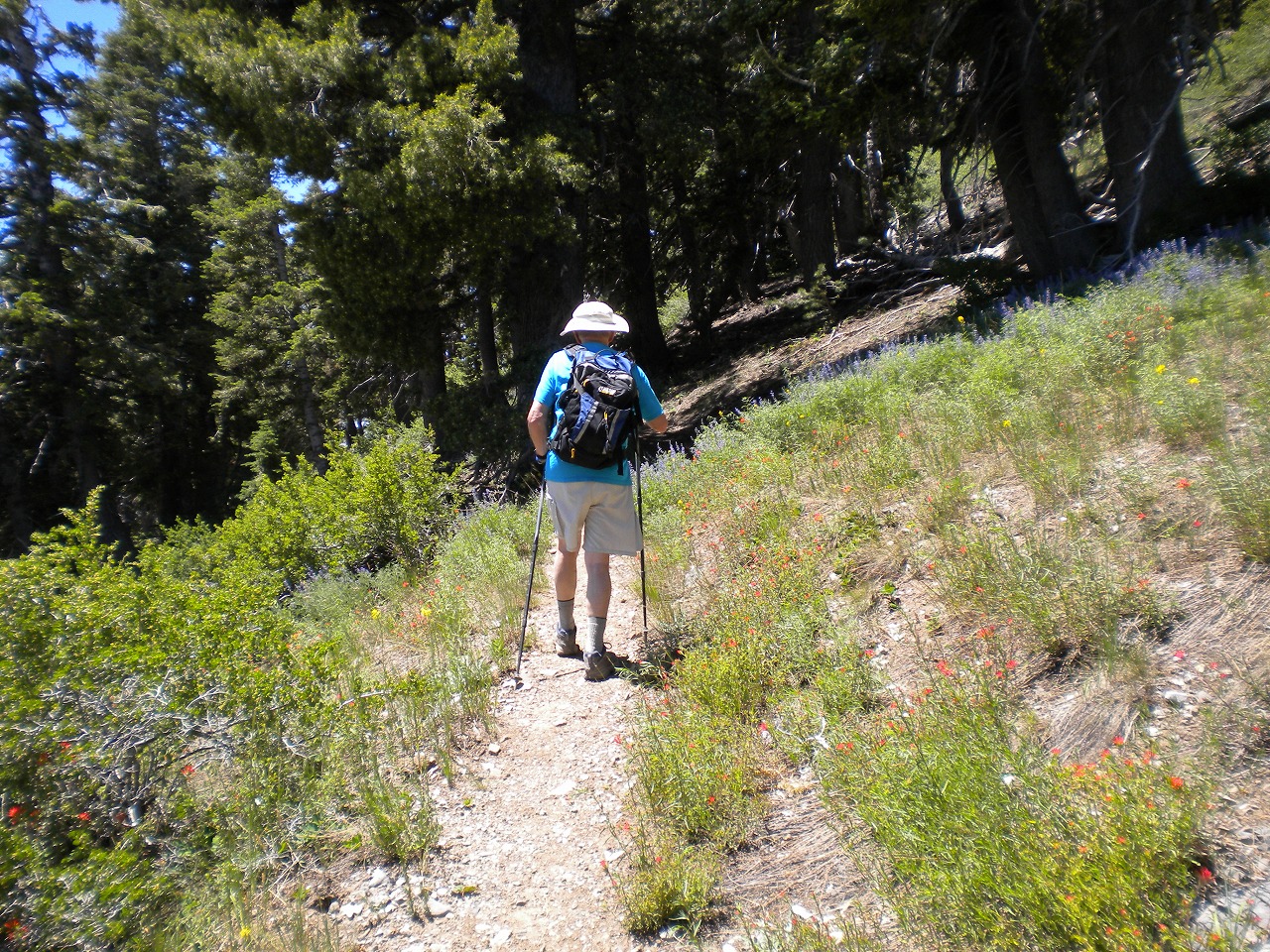
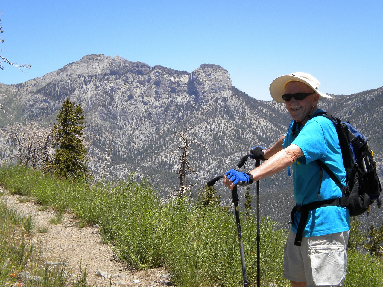
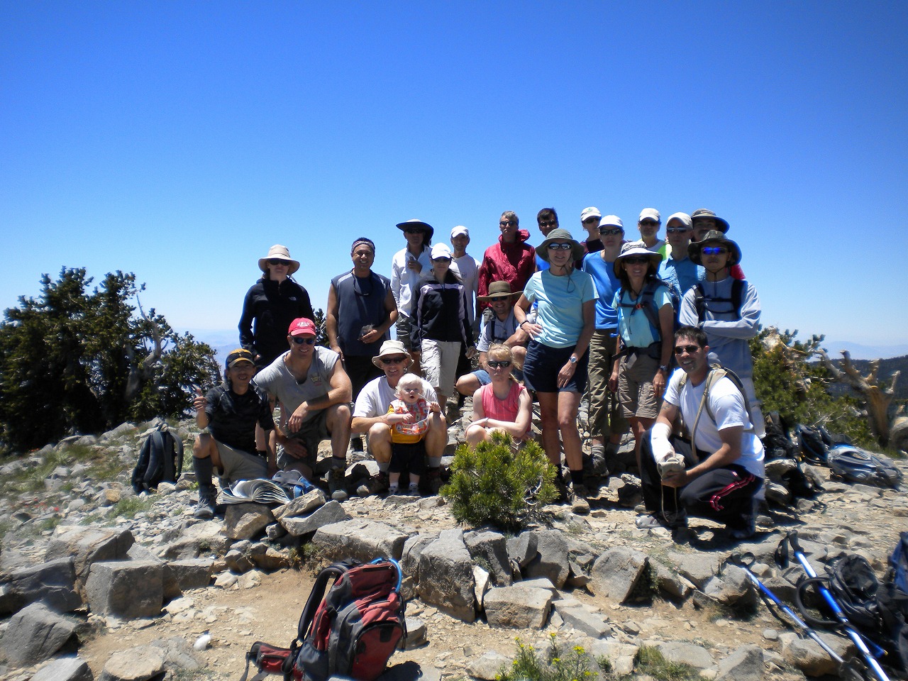
| This was my second Harris Springs Road to Griffith Peak Hike. When I hiked it last year, I accidentaly erased my GPS trip data, so I wanted to get the data (distance/elevation chart etc...) since then. I was taking care of rear as usual on Branch's hike these days. There is one old guy (74years old) on the rear. He is still in good shape as his age but he is not as fast as another hikers. Actually, most of hikers who join the Branch's hike can hike faster pace. So, us 2 were way behind the group. Maybe more than half mile... Once he gave up, I gave him a walkie talkie for just in case, and left him on the trail. Then hike fast pace to the Peak. I was still about mile from the peak. But I knew some of the hiker would be struggling at the final push to the peak. So, I have a chance to catch up them before group starts coming down. When I made it to the peak, everyone were still having conversation and enjoying the view. Surprisingly, still couple of hikers came up after me. They took different route, so I passed them on the way up. On the way back, I found the old guy on the trail under the steep hill side. So, we hike back to the trail head. When we got back to the trail, everyone were already left half hour ago. |
 Entire 3D trail map |
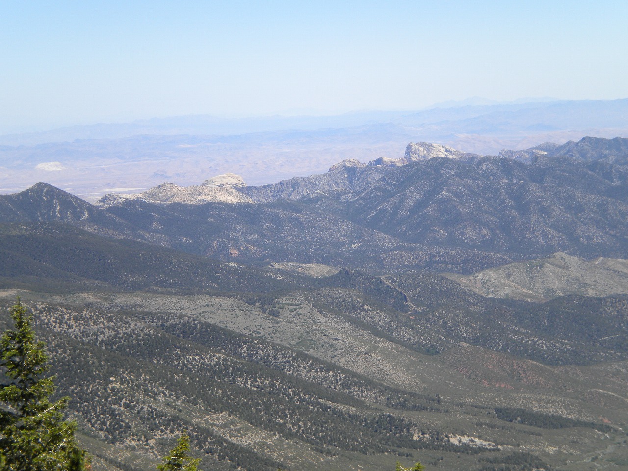
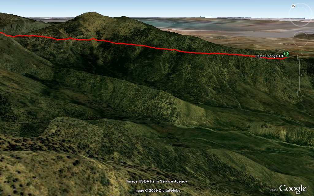 Harris Mtn & Trail |
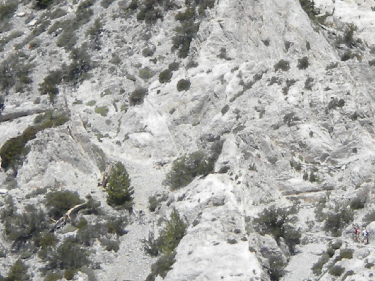
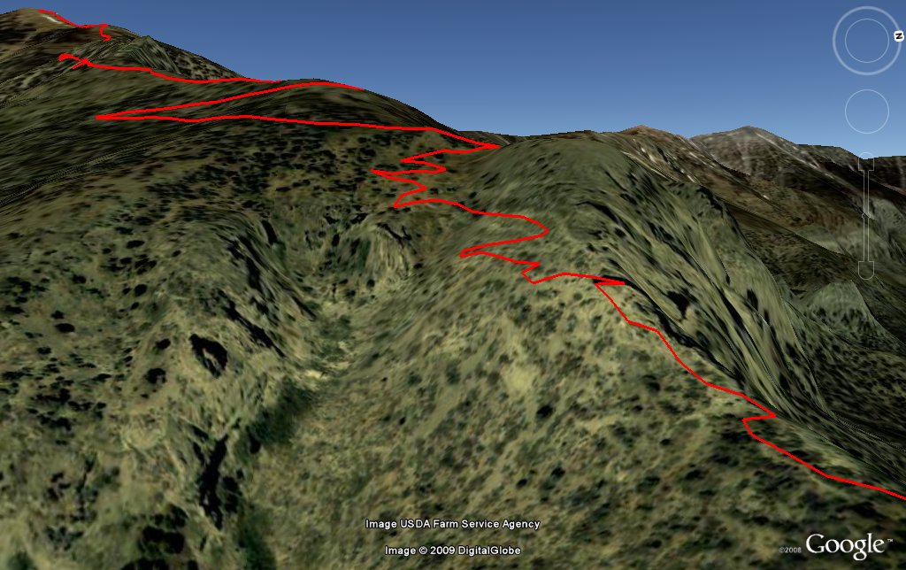 Switch Back |
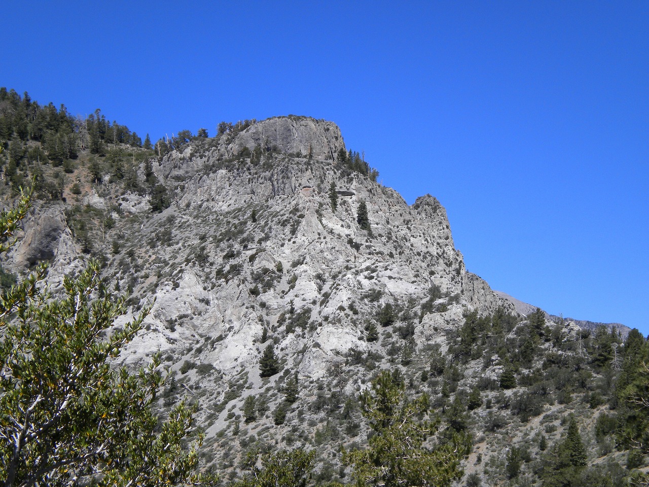
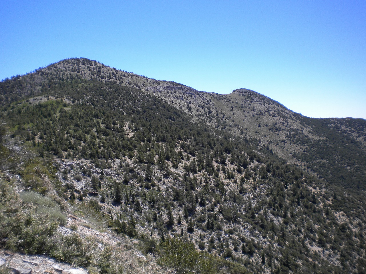
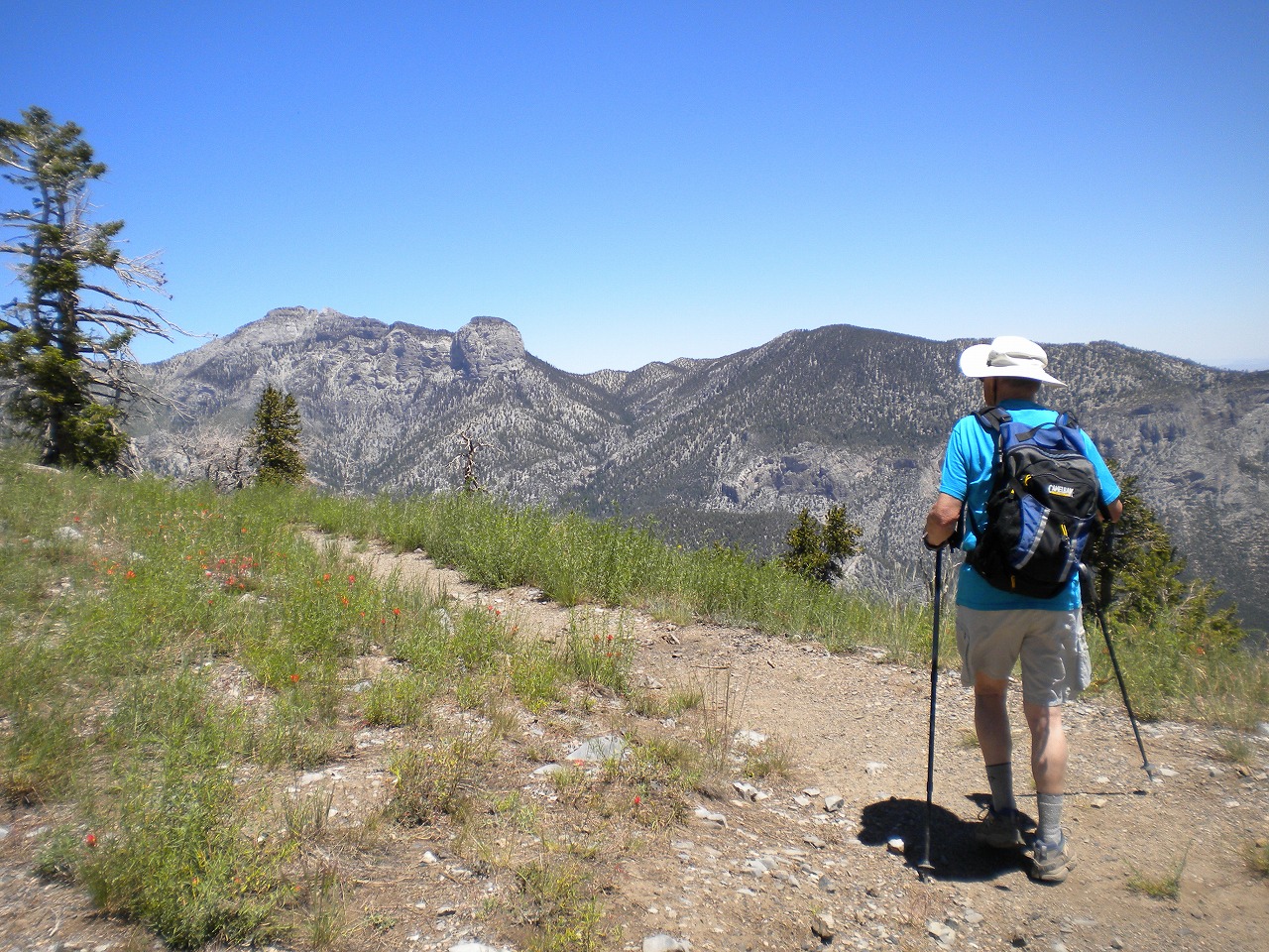
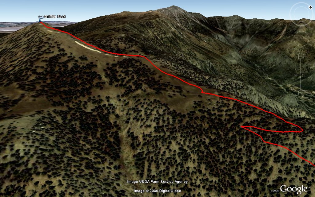 Griffith Peak |
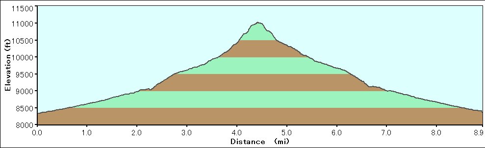 Elevation Chart (only Hilltop to Camp spot) |
| Click here to see 3D trail map on Google Earth |
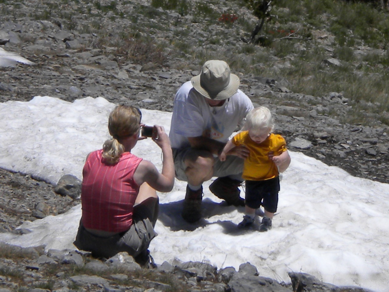
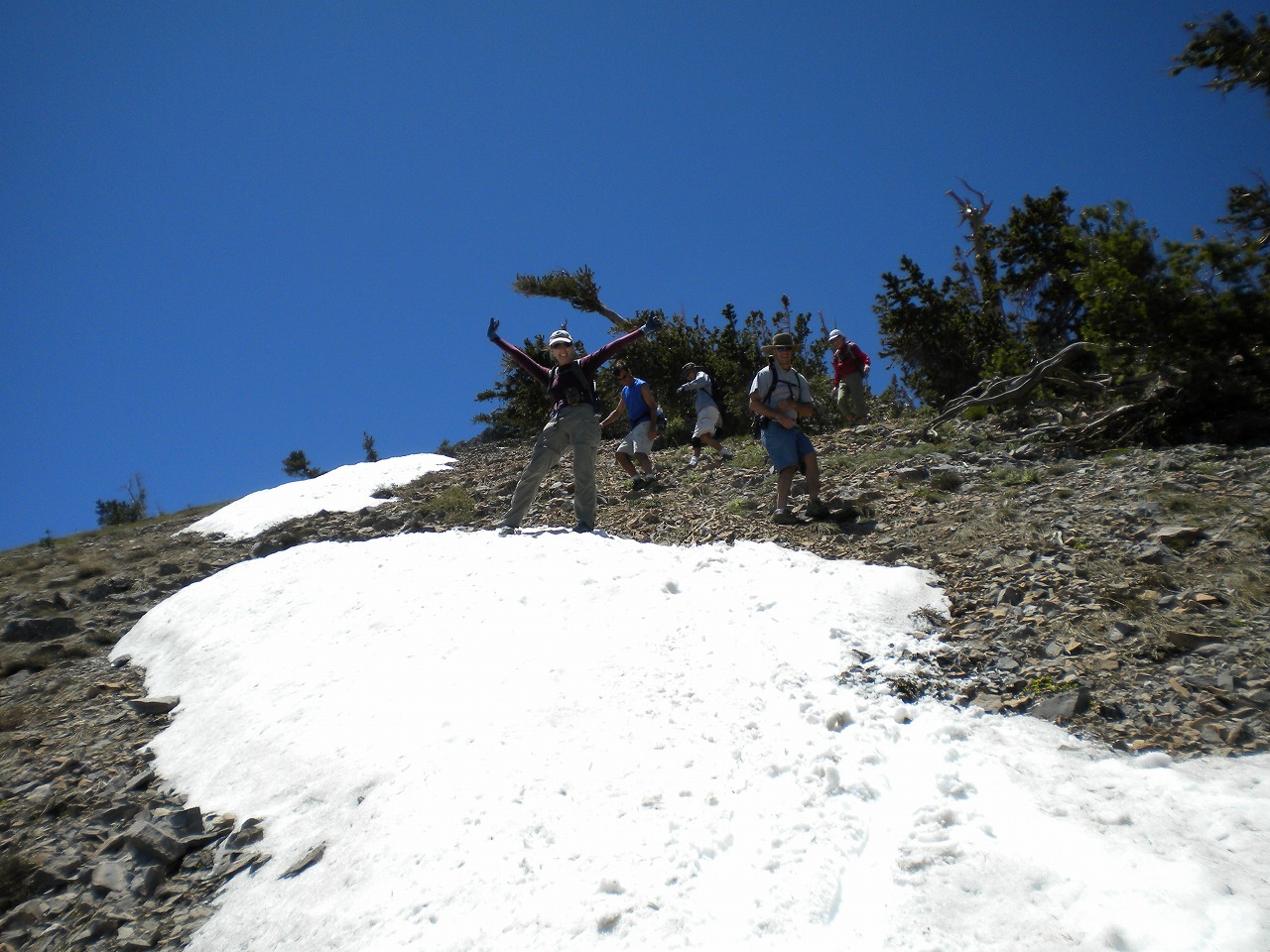
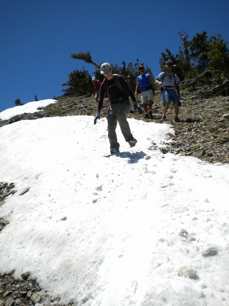
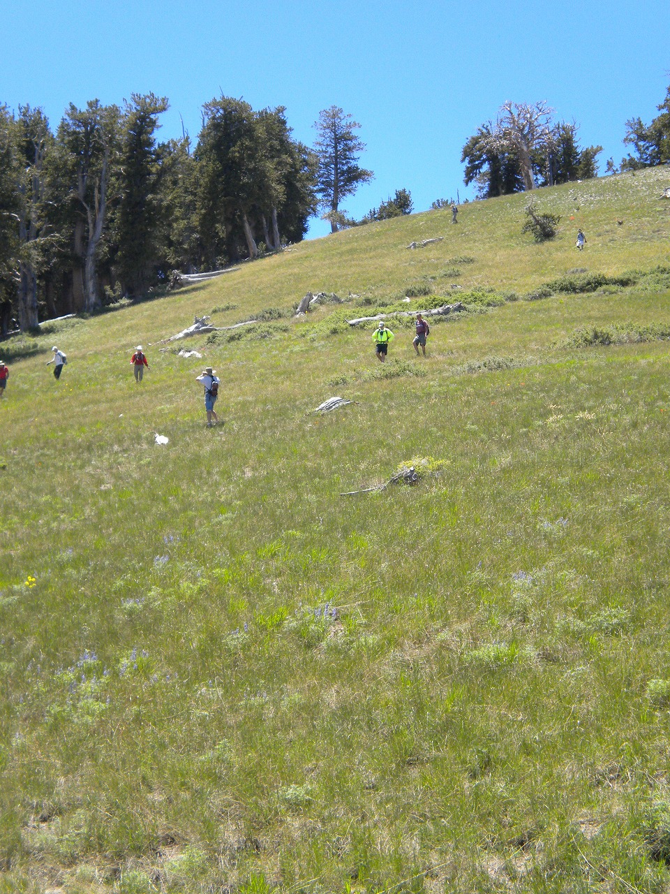
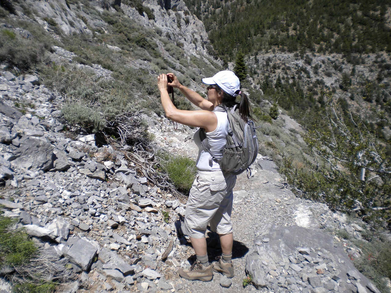
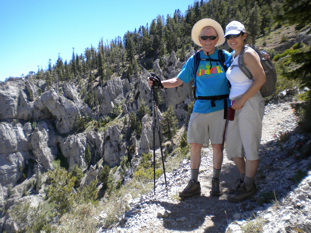
| Showing 1-23 of 23 pictures |
|
|
|
|
|
|
|
|
|
|
|
|
|
|
|
|
|
|
|
|
|
|
|
|
 |