Telescope Peak - Badwater Hike
October 11th 2009
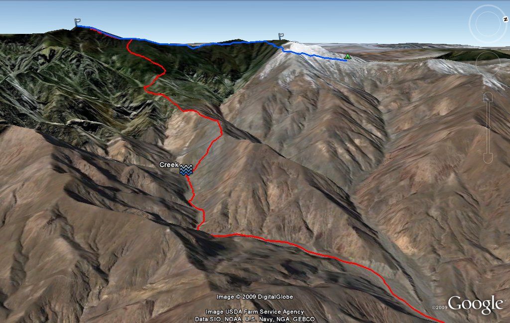
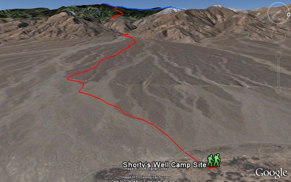
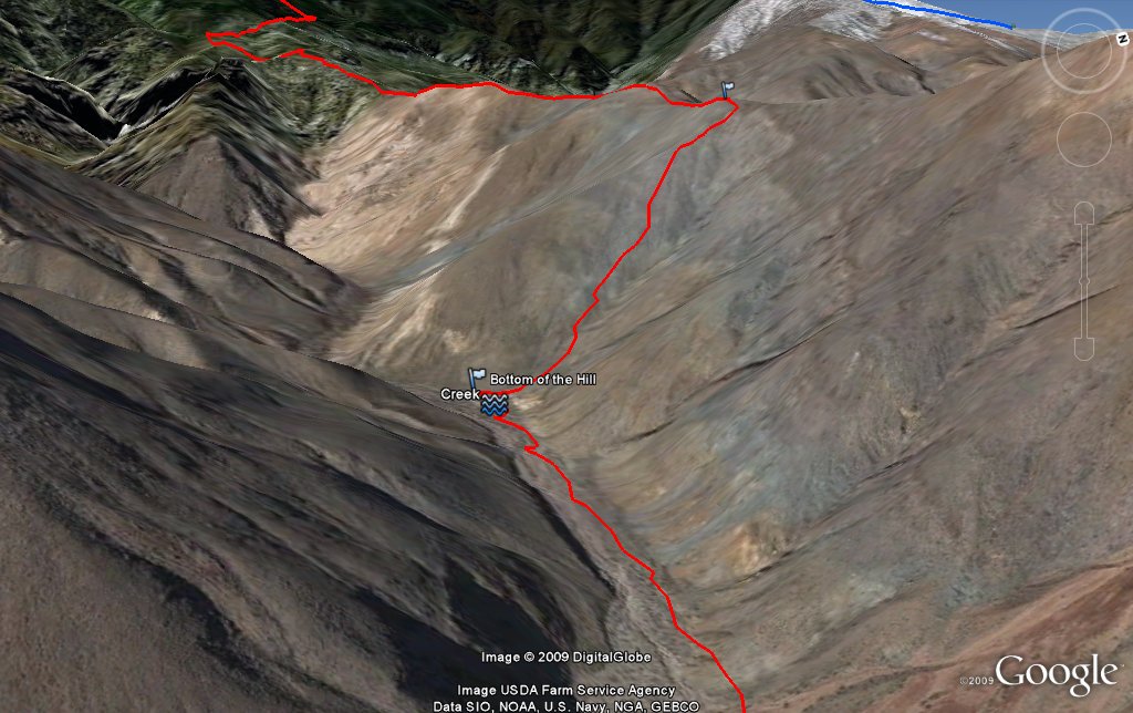
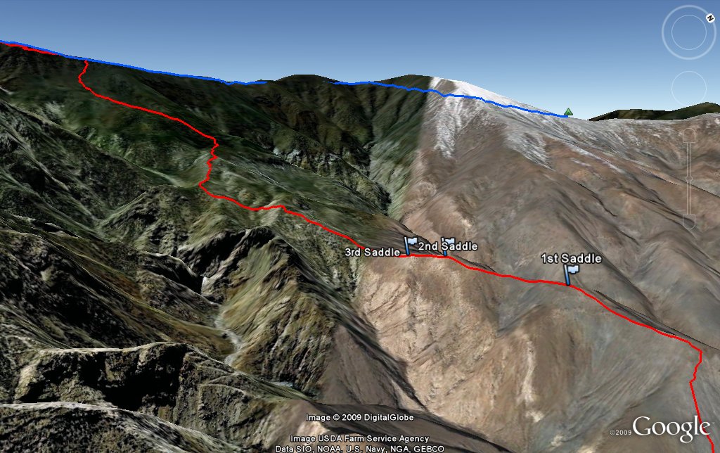
Entire 3D trail map
Ascent & Descent route
5mile road walk
1,600ft scramble
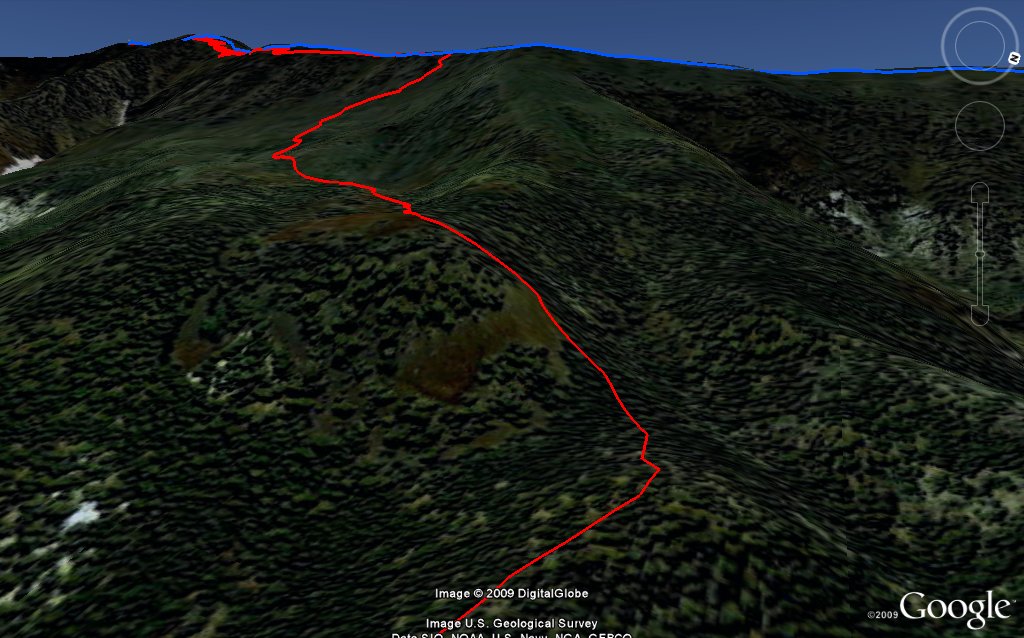
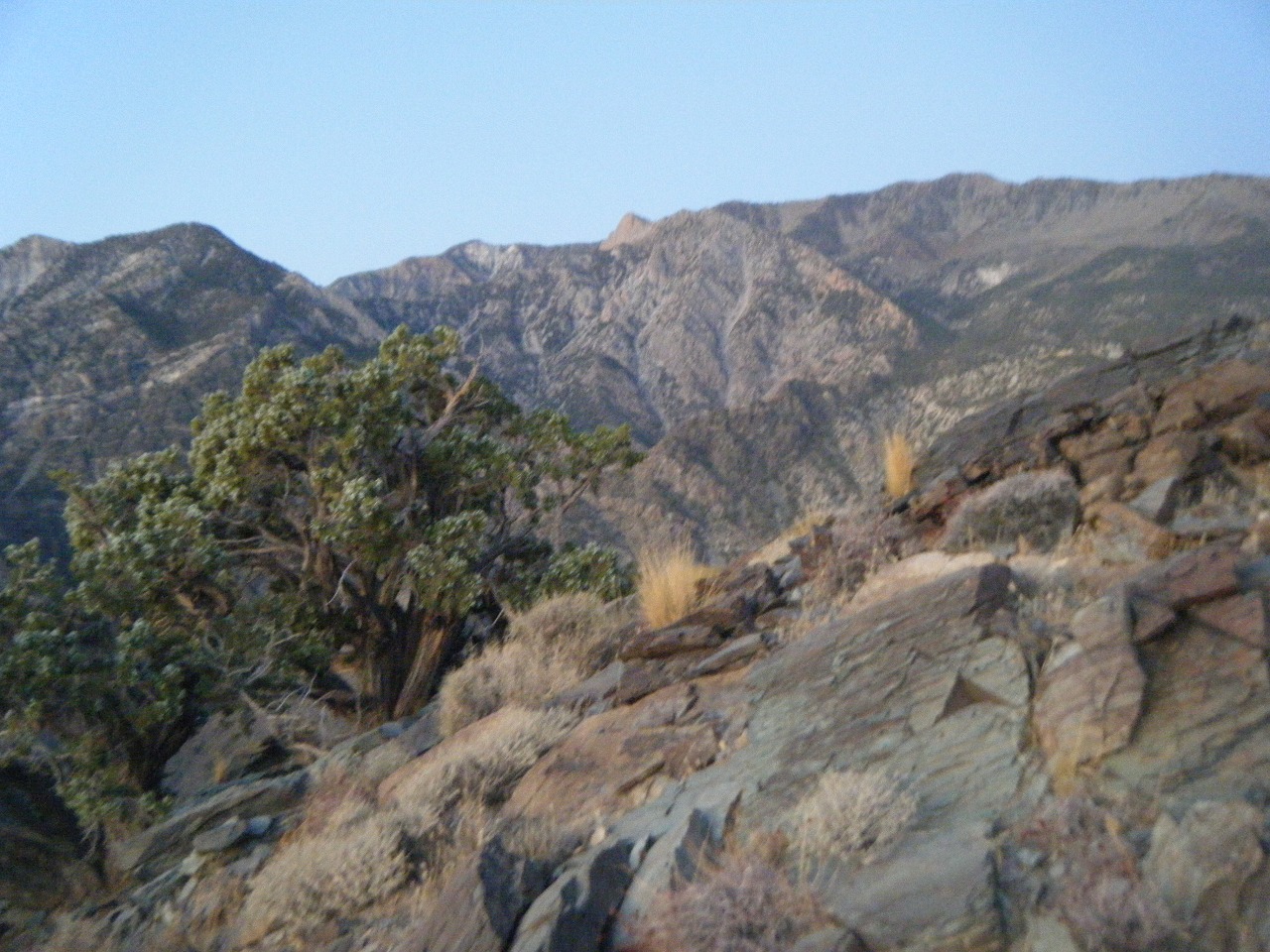
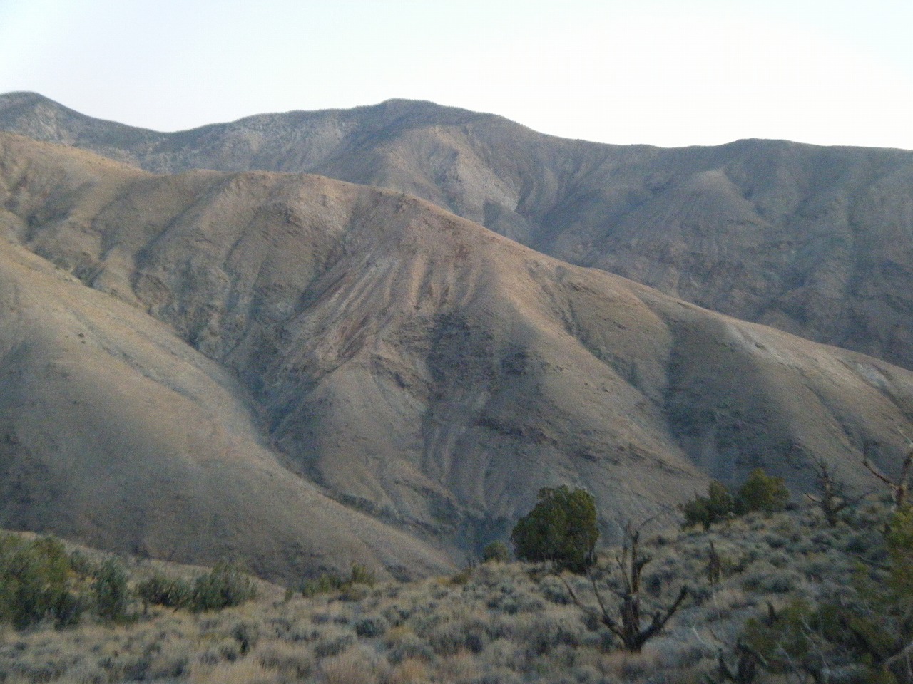
Along the ridge
Last scramble
Telescope Peak
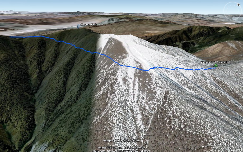
Mahogany Flat
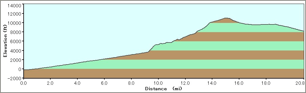
Elevation Chart
Google Map
Google Earth
Hike Status :
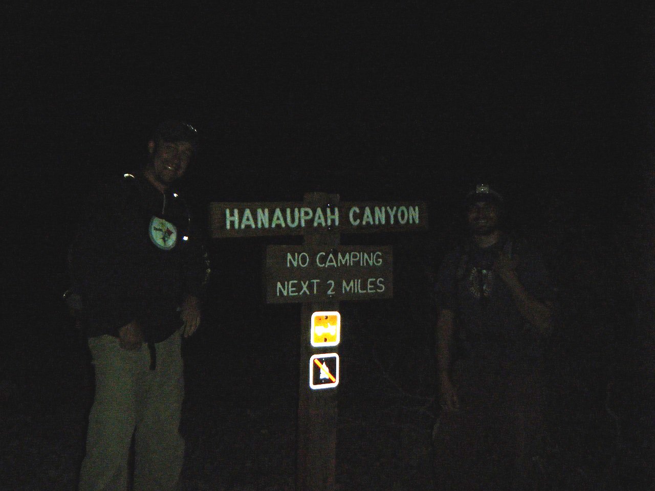
Trailhead
: Shorty's Well (Death Valley NP)
Distance
: 21.5 mile
Elevation Peak
: 11,049 ft (Telescope Peak)
Total Elevation Gain
: 12,000 ft
Class
: 1-2
Time
: 14 hours
Showing 1-24 of 109 pictures |
Next -->