November 1st 2009
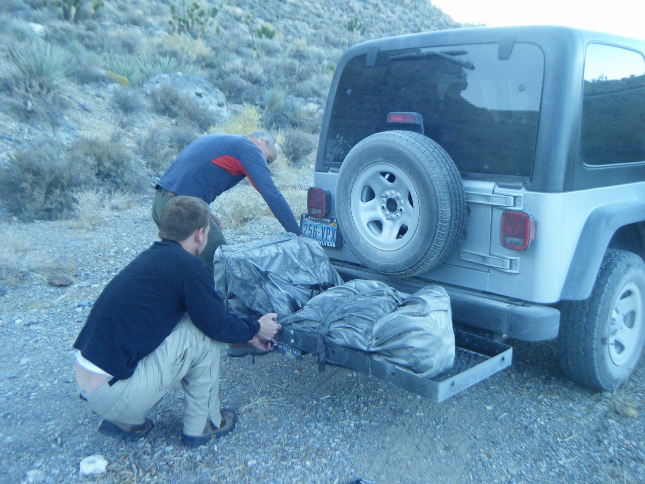
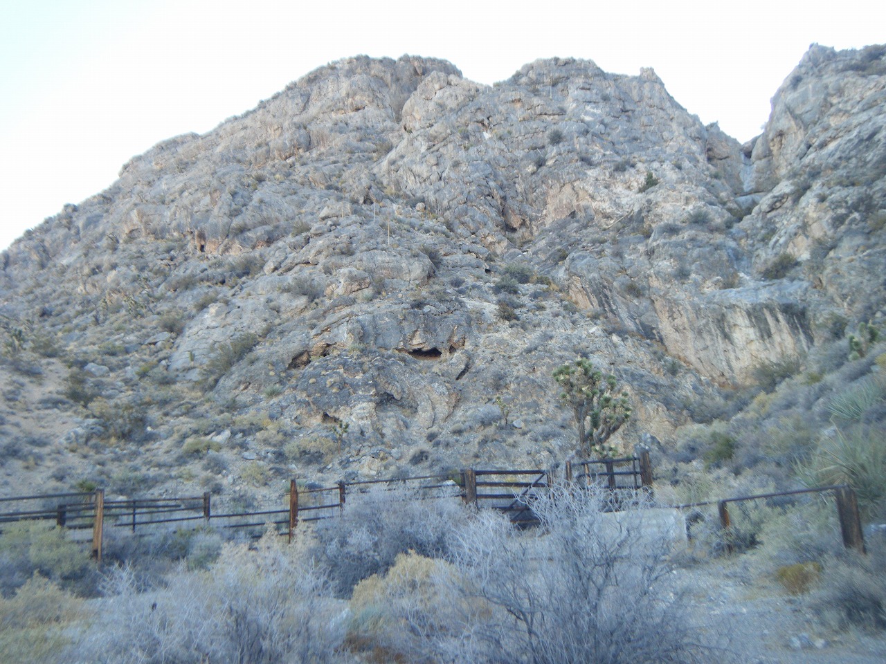
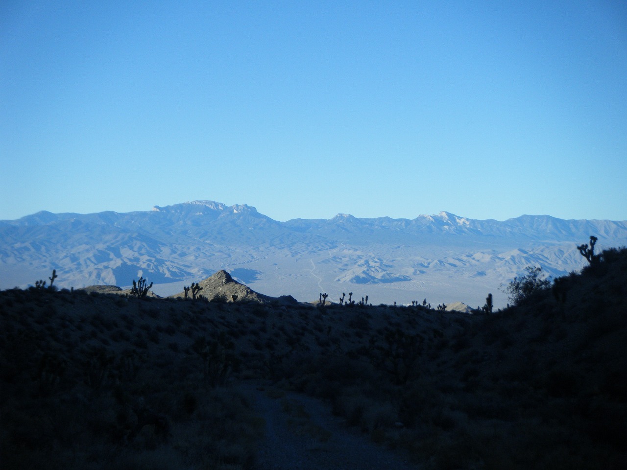
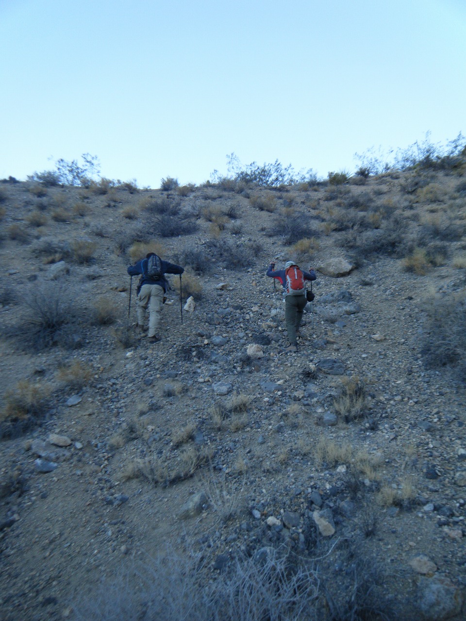
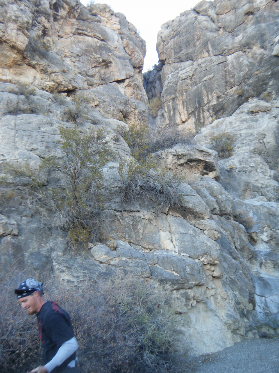
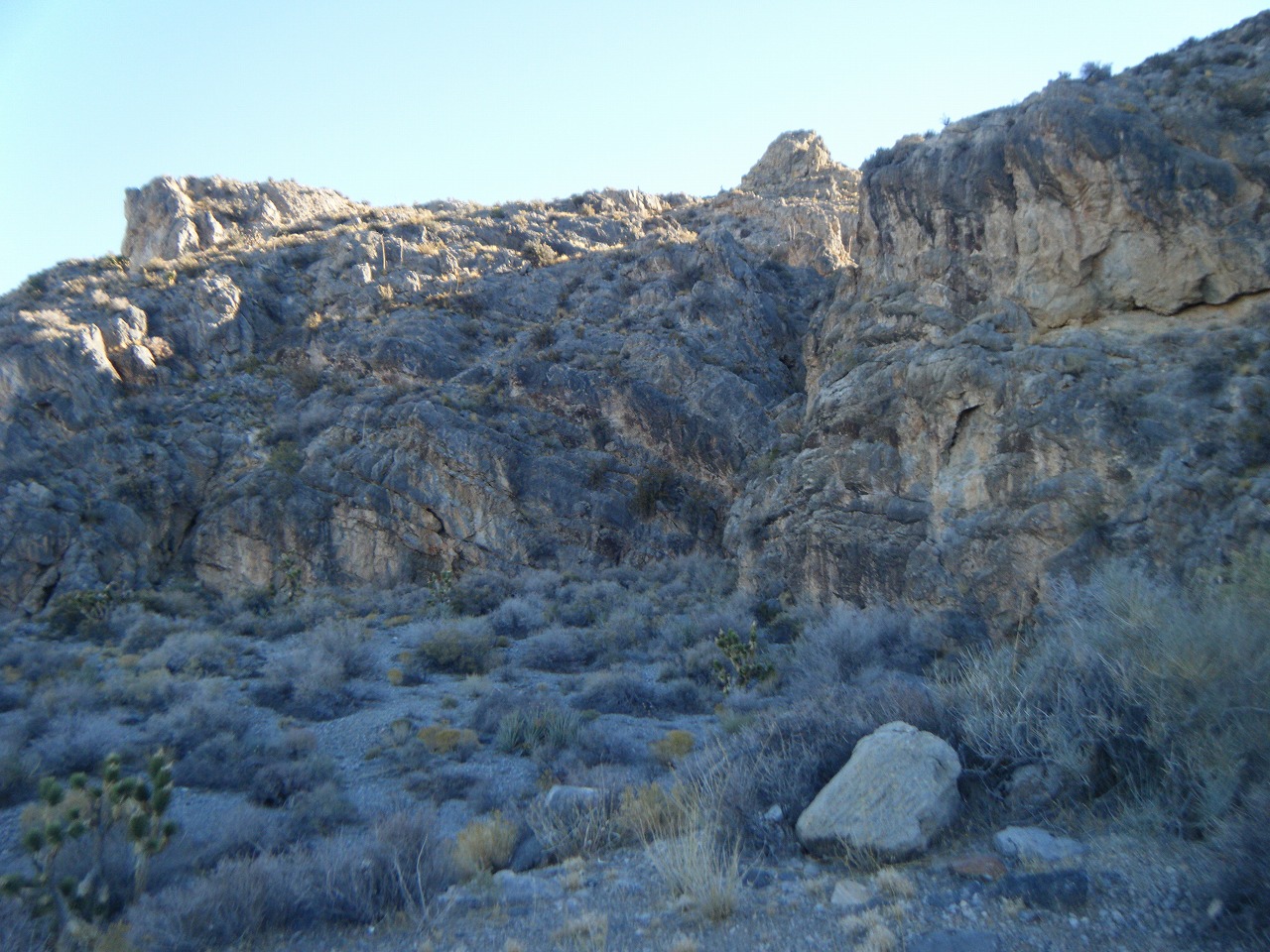
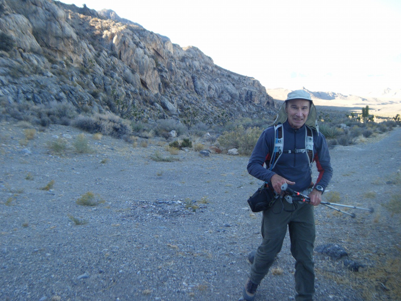
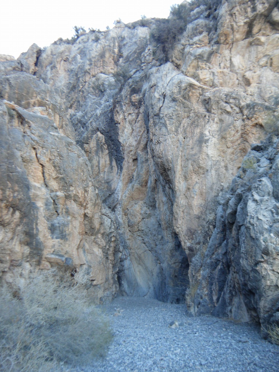
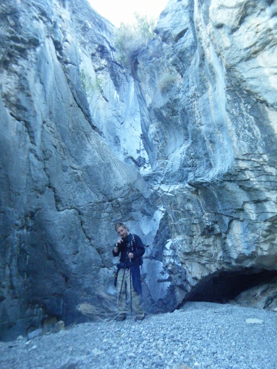
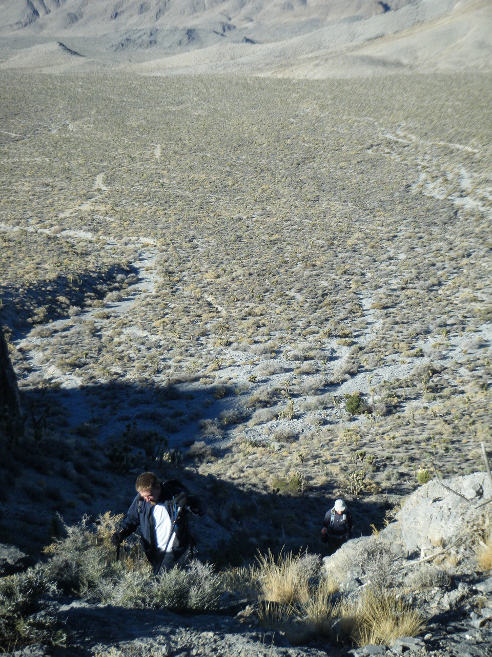
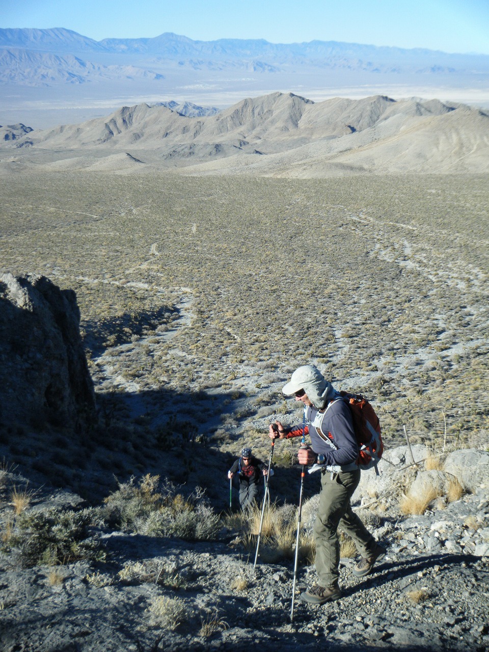
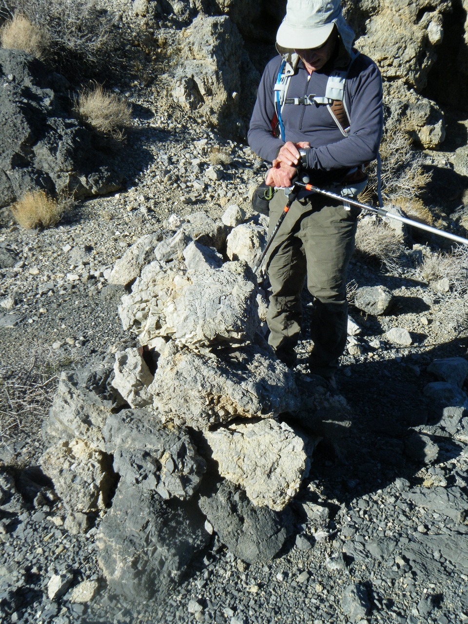
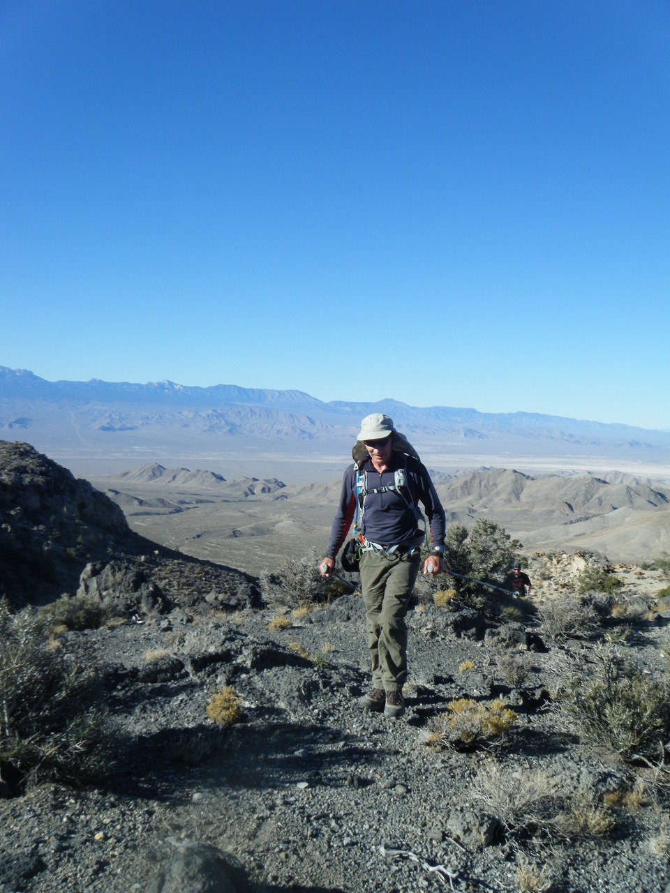
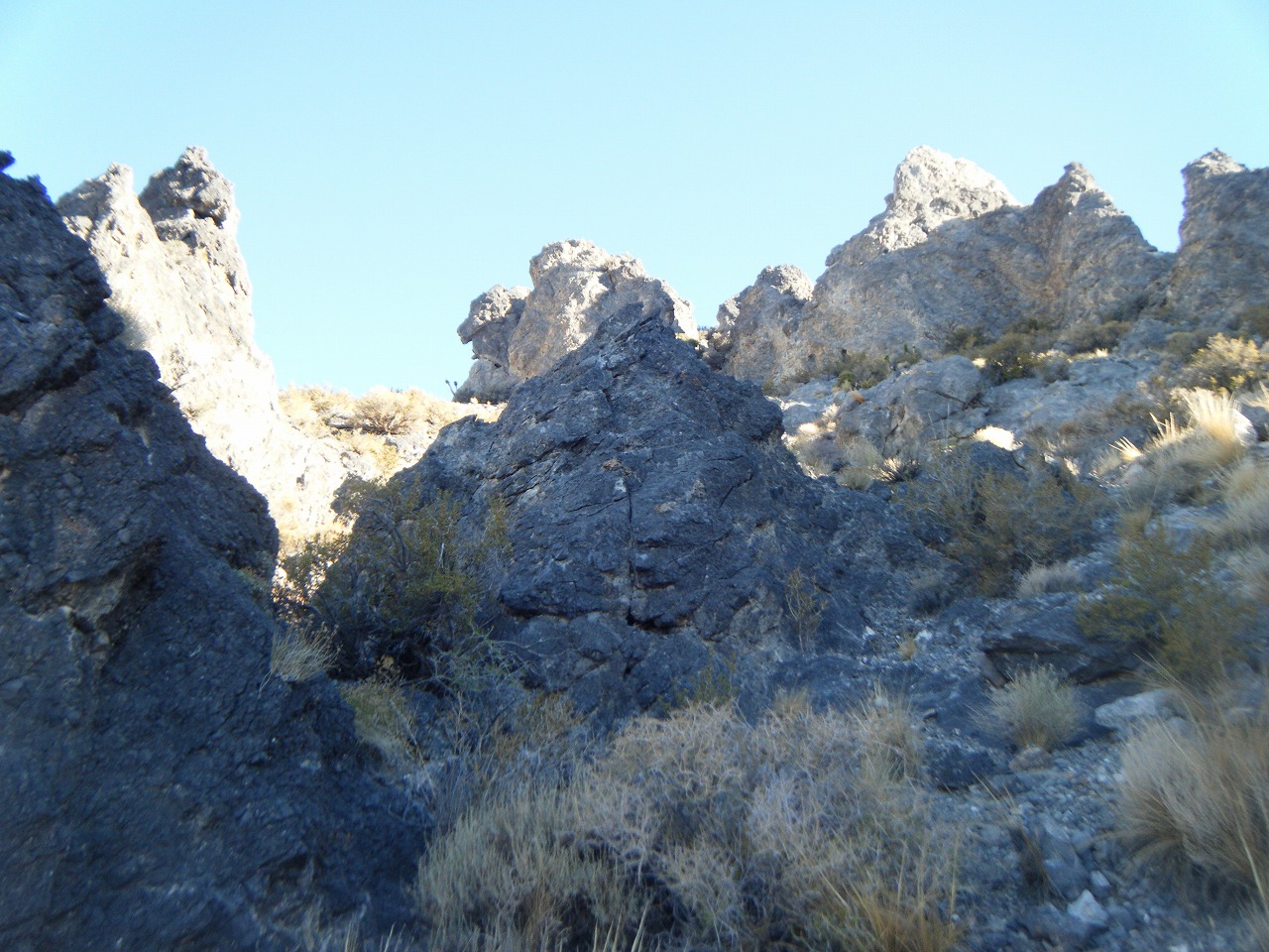
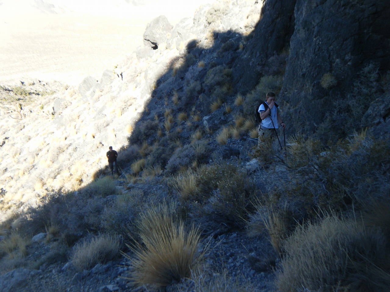
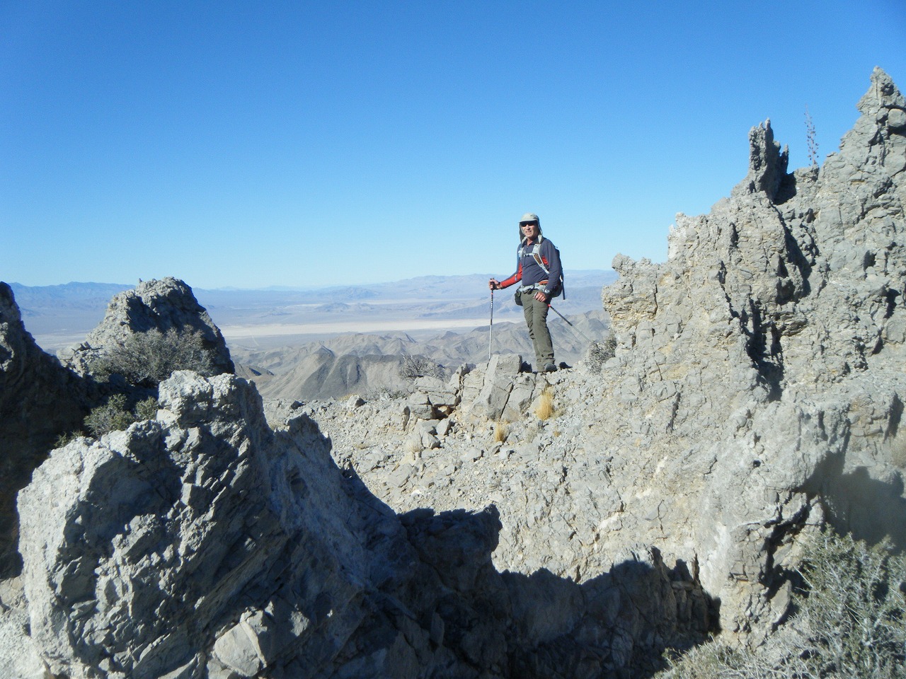
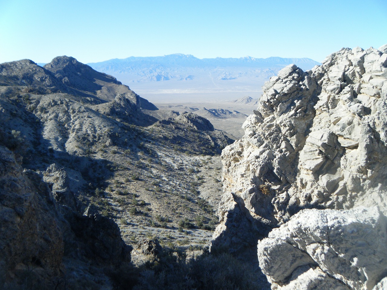
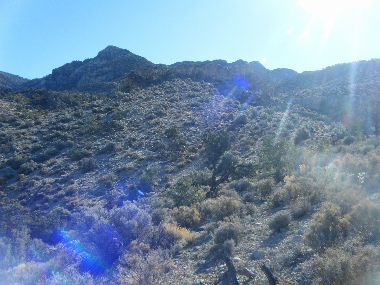
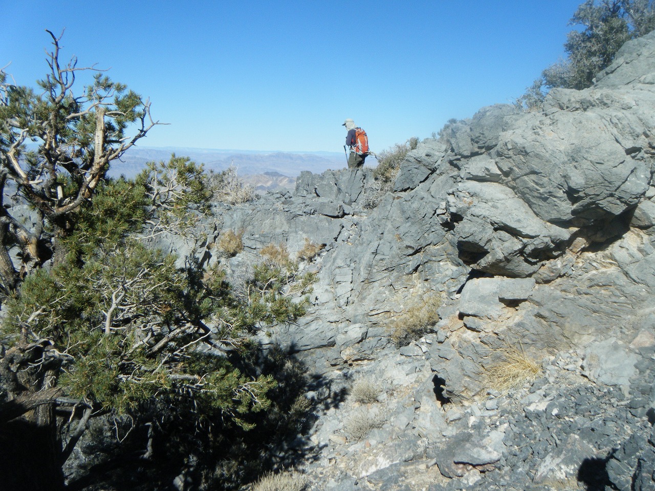
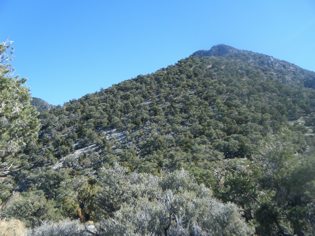
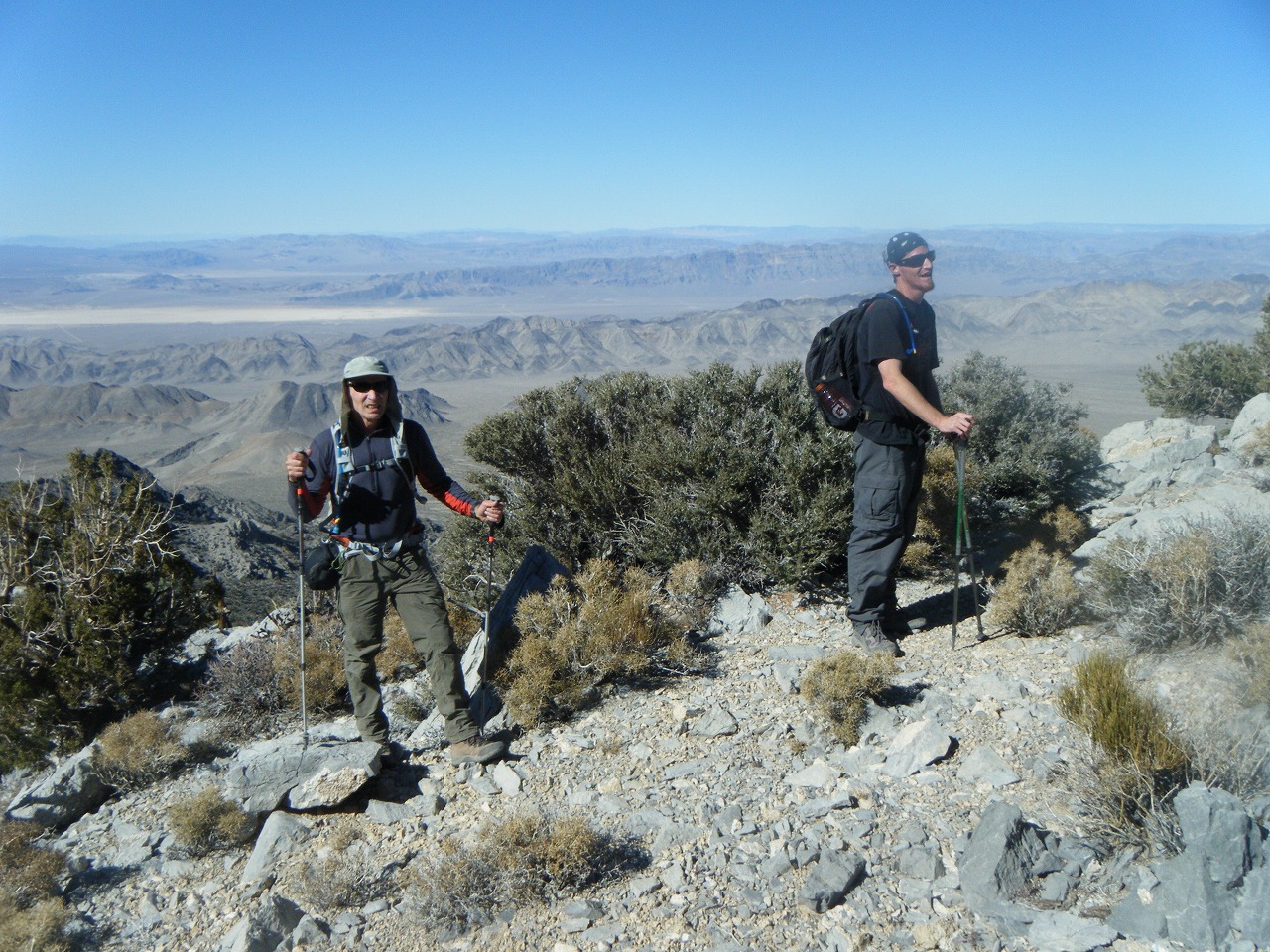
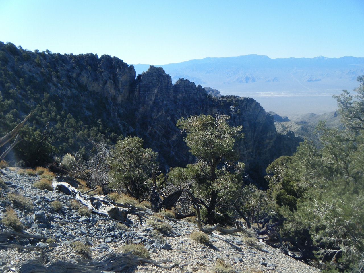
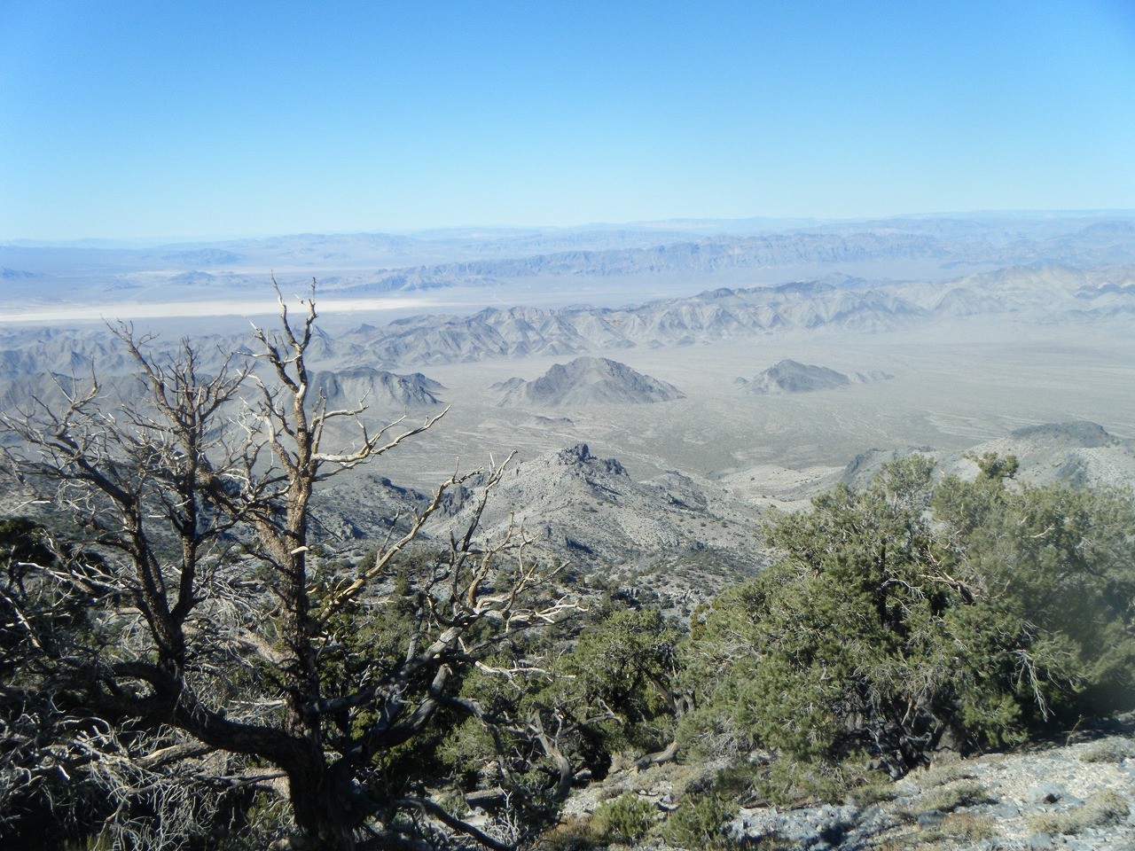
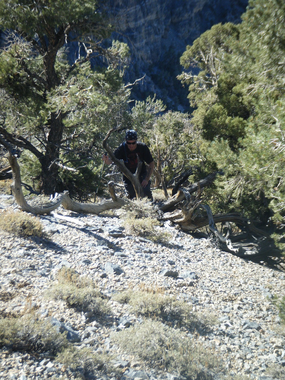
| John Morris sent me an email and gave me an offer to take me to the Sheep Peak. I have hiked with him and his friend Tim for couple of times. Last time, we hiked to the Hayford Peak. They gave me an extra spot for Bob Spirko on their Jeep, so 4 of us hiked together. To get to the trail head, we had to drive dart road for 18 miles. Unfortunately, we took a wrong turn and ends up about 3/4 mile from trail head. The route they took us seemd perfect line on the map, but actually there were so many up and down. We climbed up false peak, crossed ridge to ridge for several times. The steep hill side is loose and brushy. After 4,700 ft of elevation gain (600 ft elevation lose), we made it to the Peak. It took us little over 5 hours. I was expected this hike is easier than Pyramid Peak, but it was not. We could see Hayford Peak, Mummy Mtn., Lake Mead and Las Vegas city. When we got back to the car, it was almost sunset. It was a long day hike. |
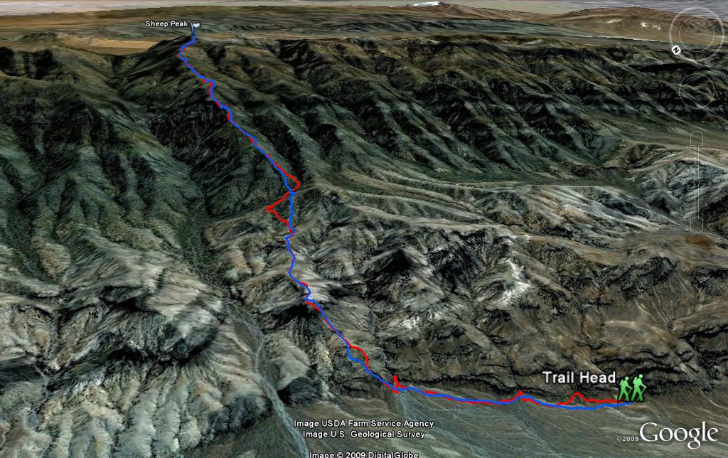 Entire 3D trail map |
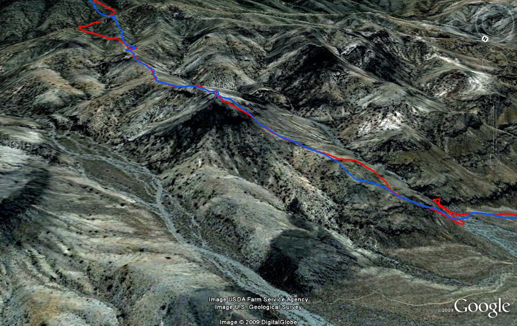 first part |
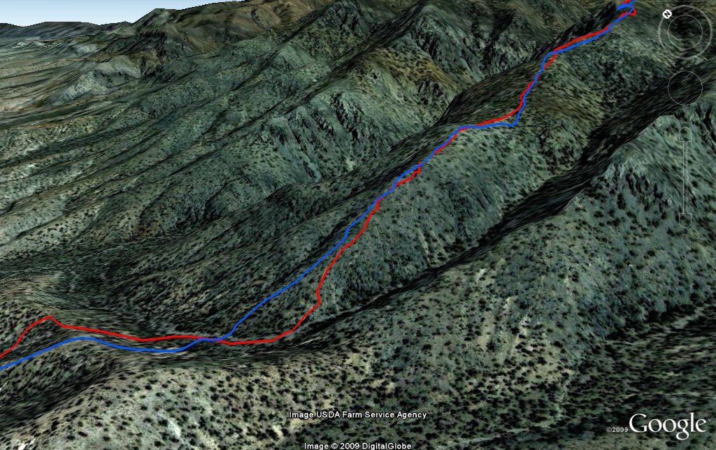 middle part |
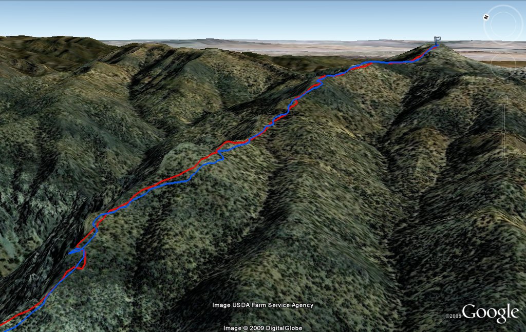 Sheep Peak |
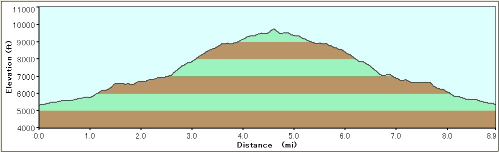 Elevation Chart |
 Google Map |
 Google Earth |
|
| ||||||||||||||
|
| Showing 1-24 of 68 pictures | Next --> |
|
|
|
|
|
|
|
|
|
|
|
|
|
|
|
|
|
|
|
|
|
|
|
|
 |
 |