February 20th - 21st 2010
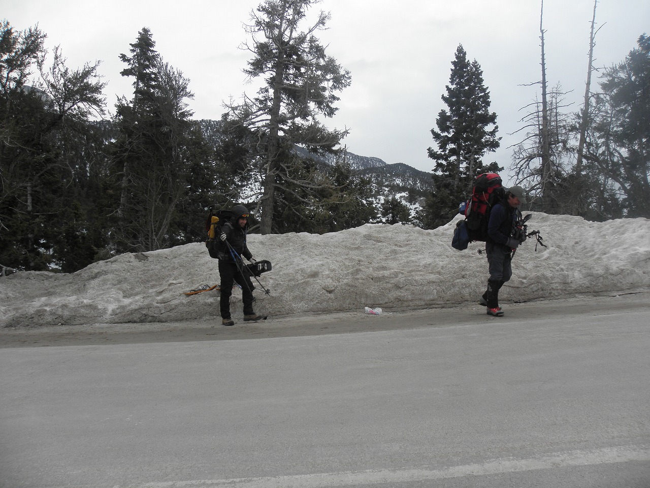
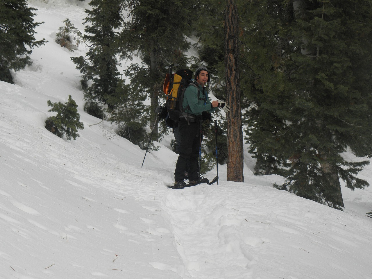
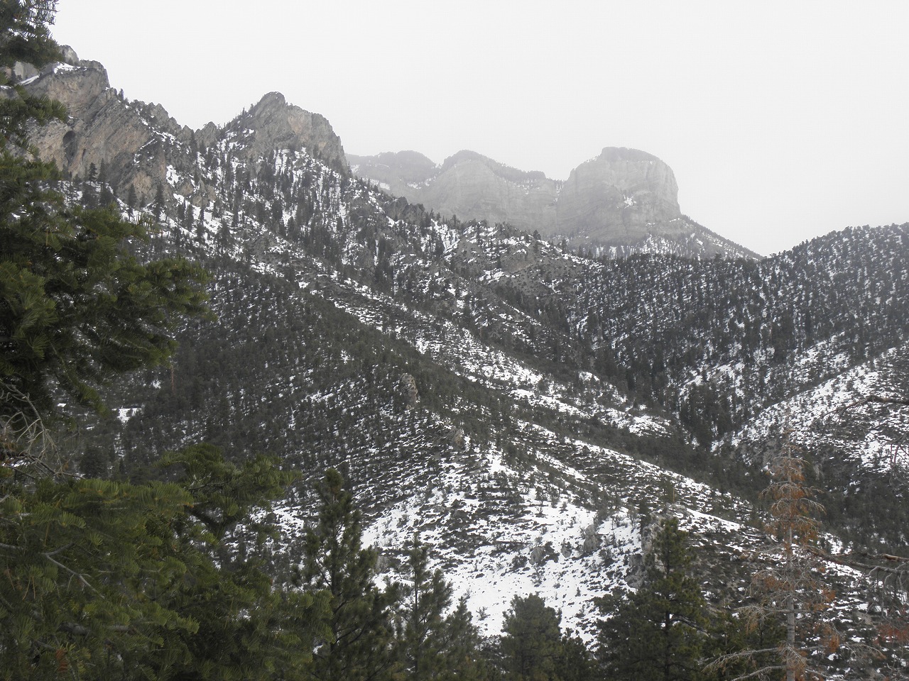
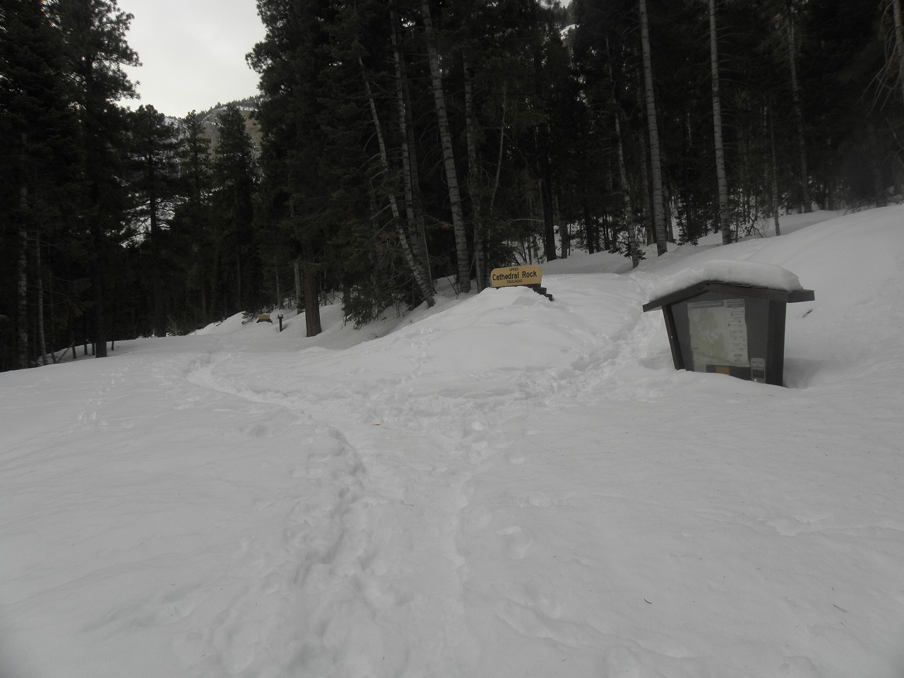
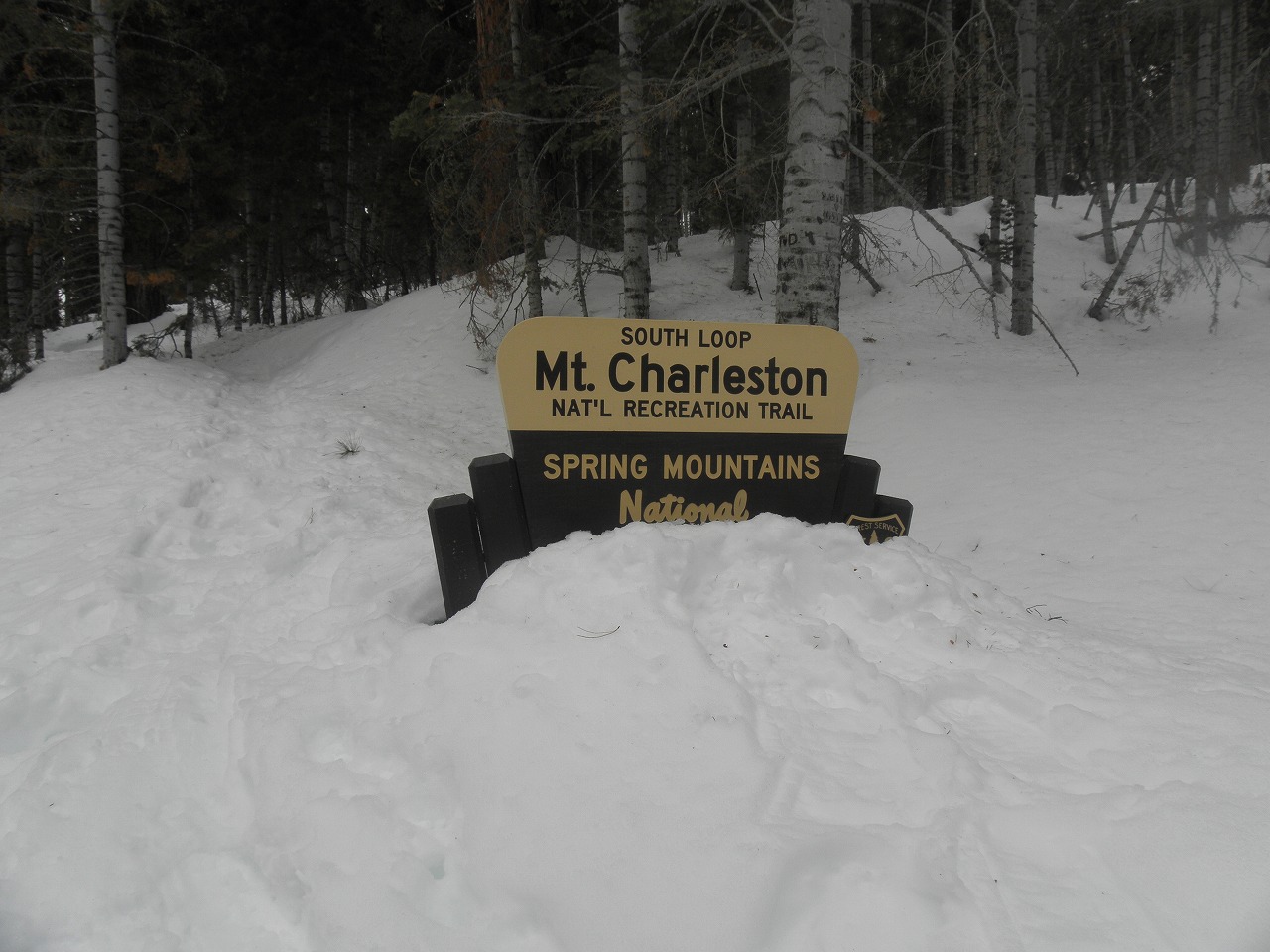
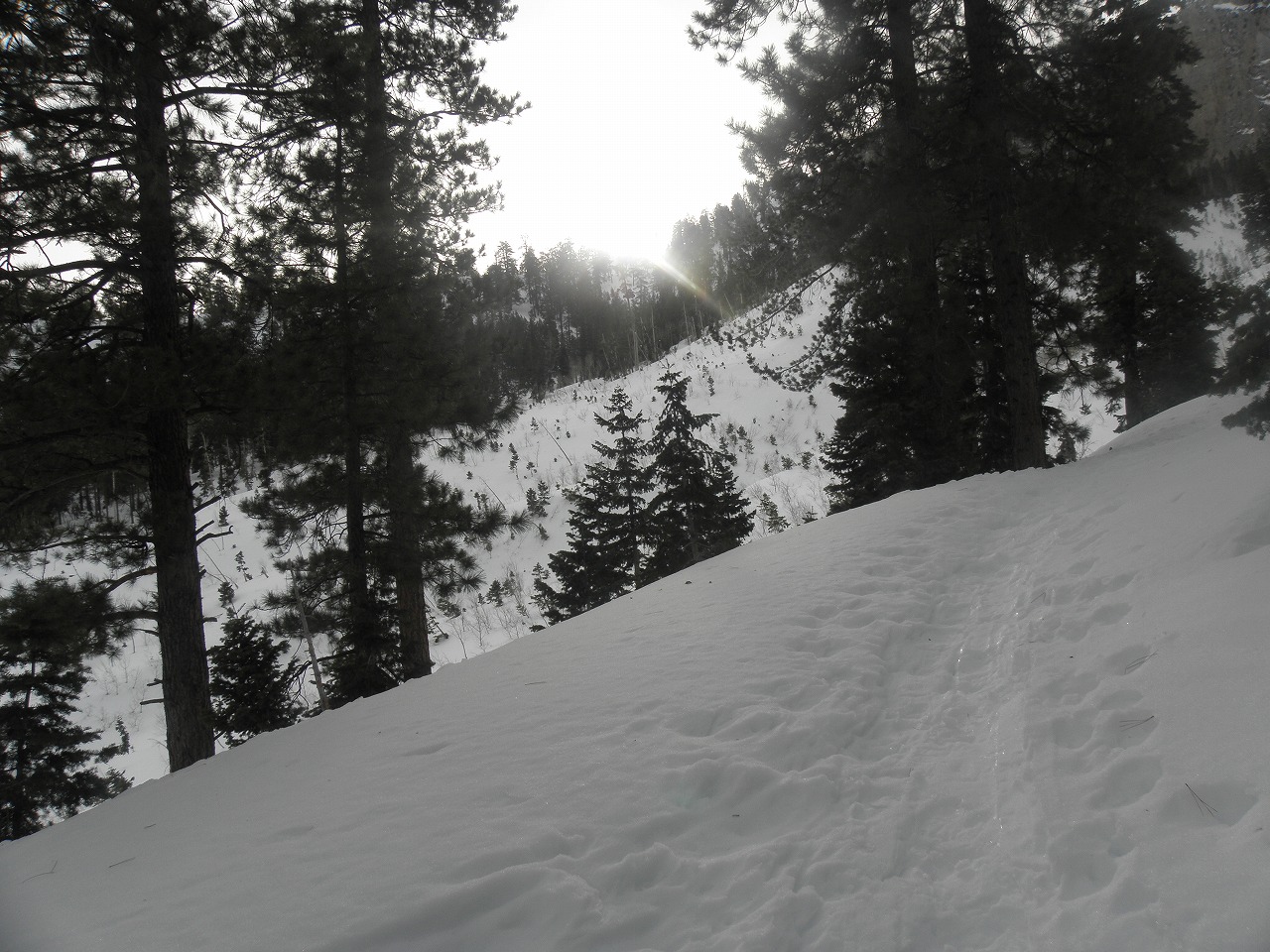
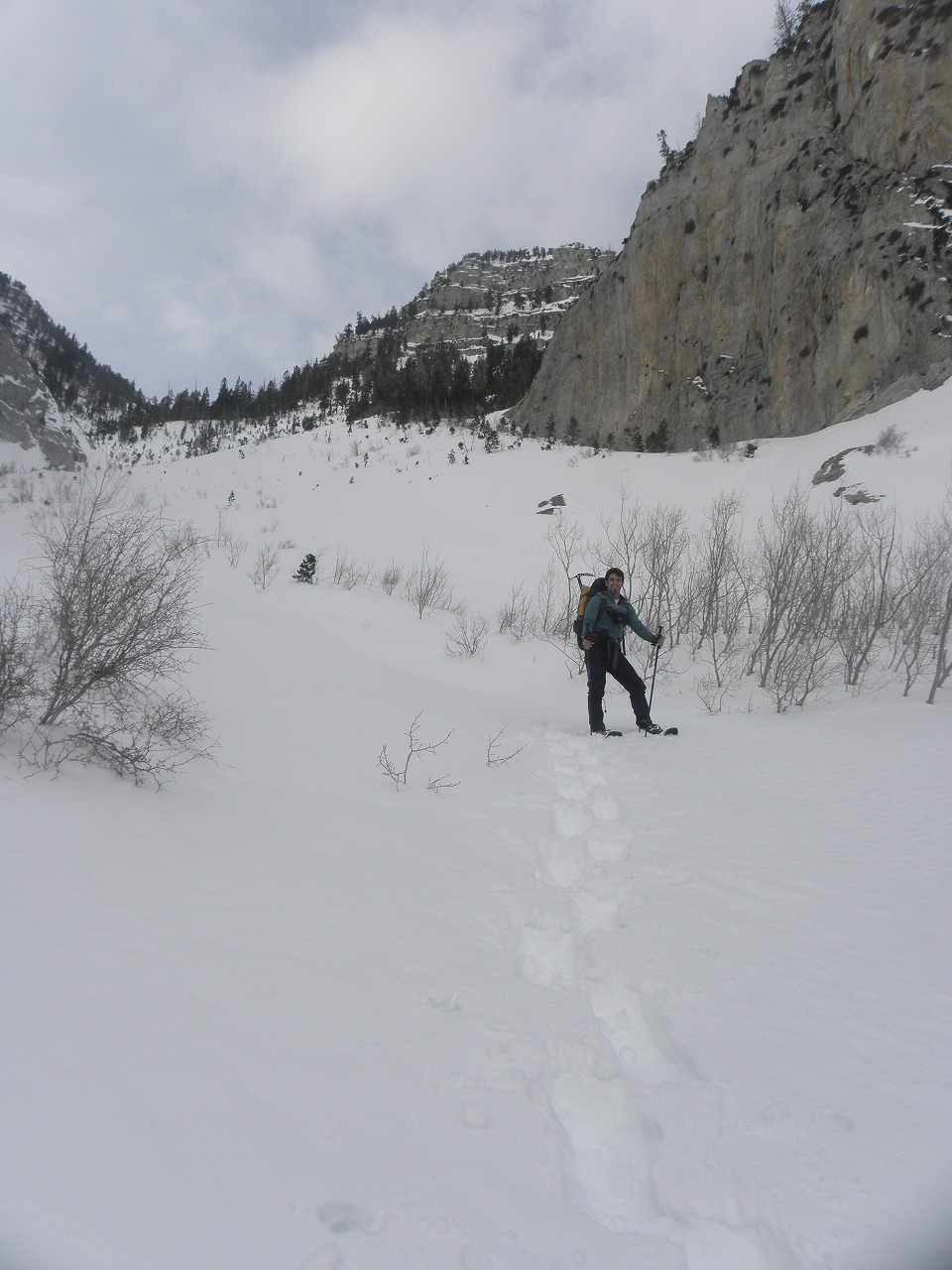
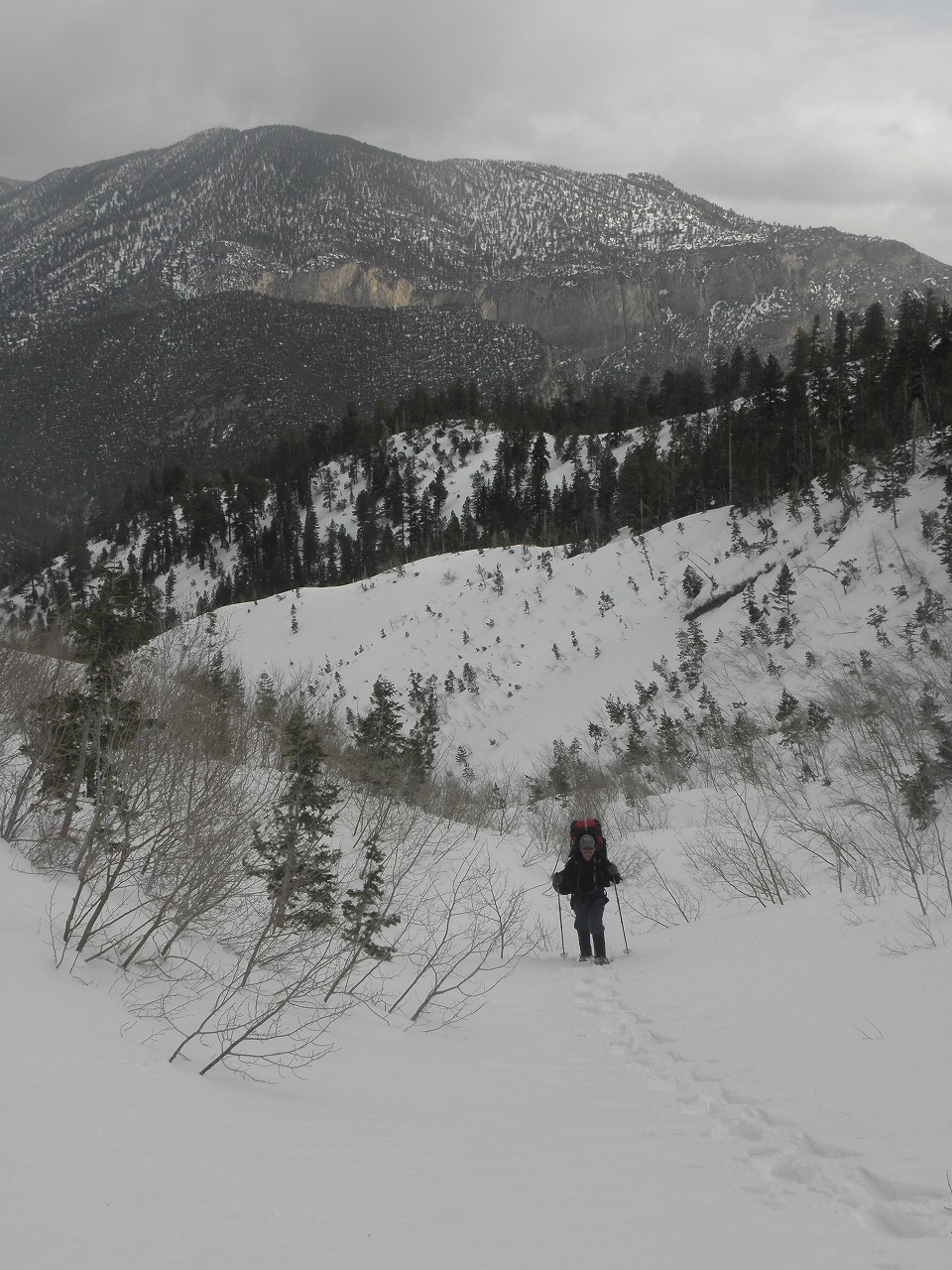
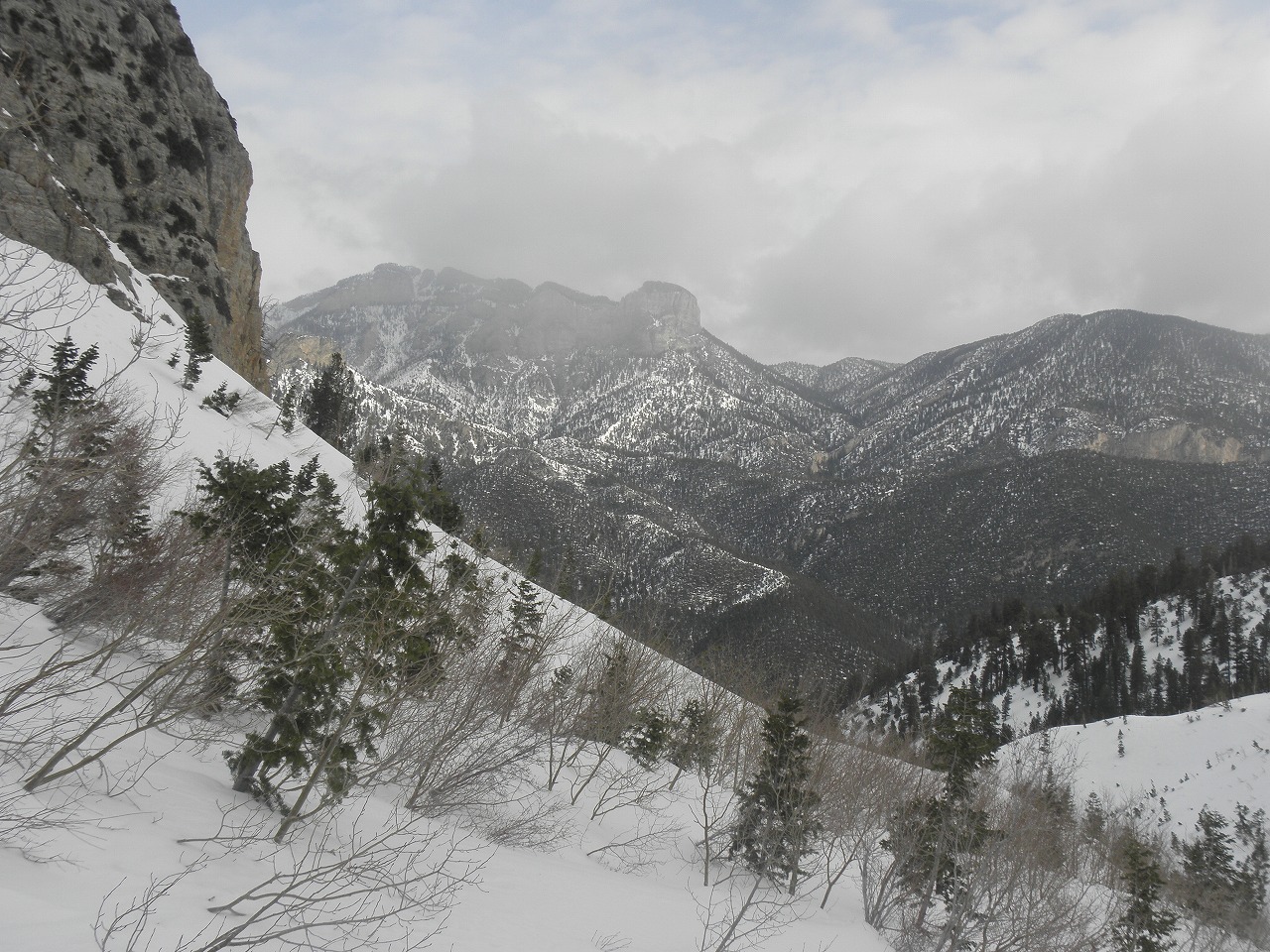
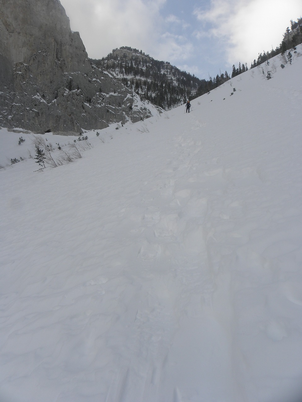
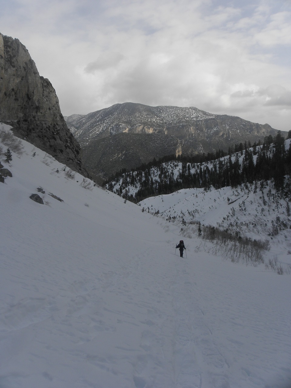
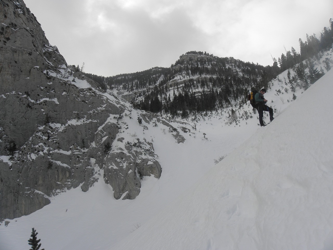
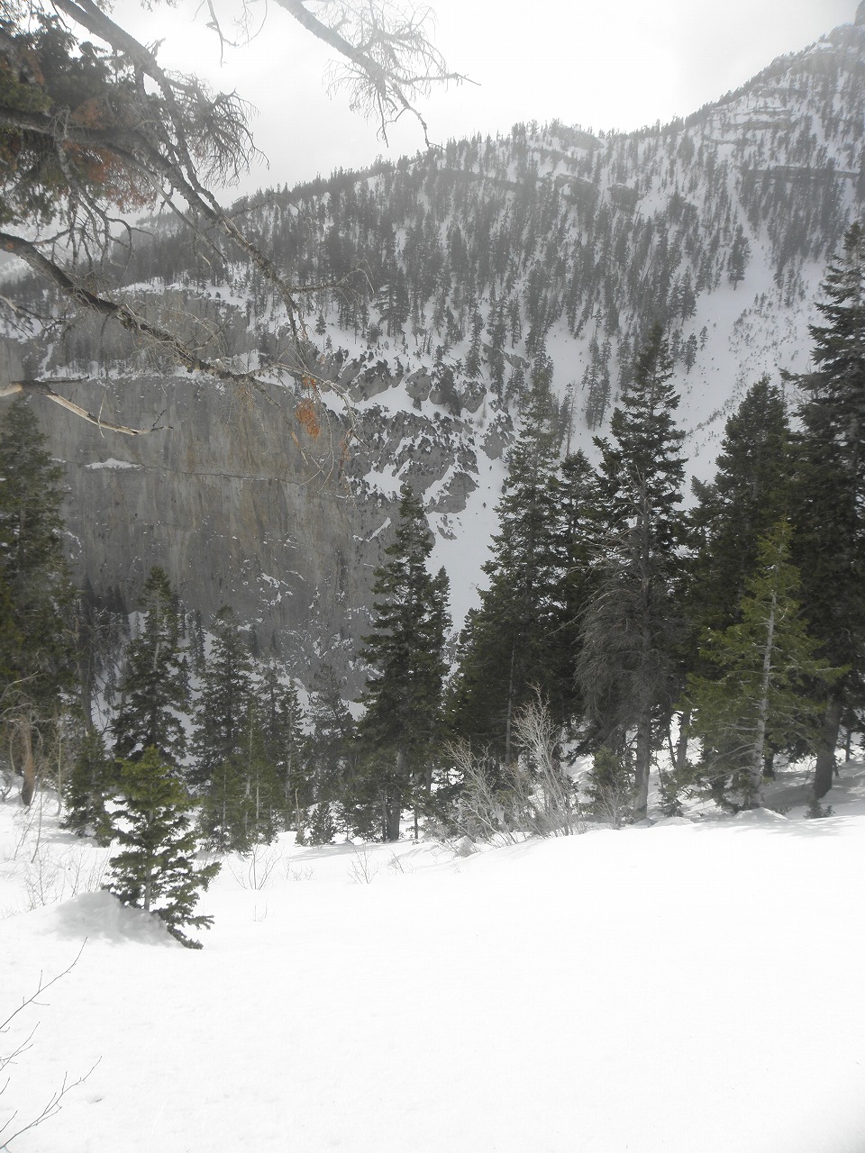
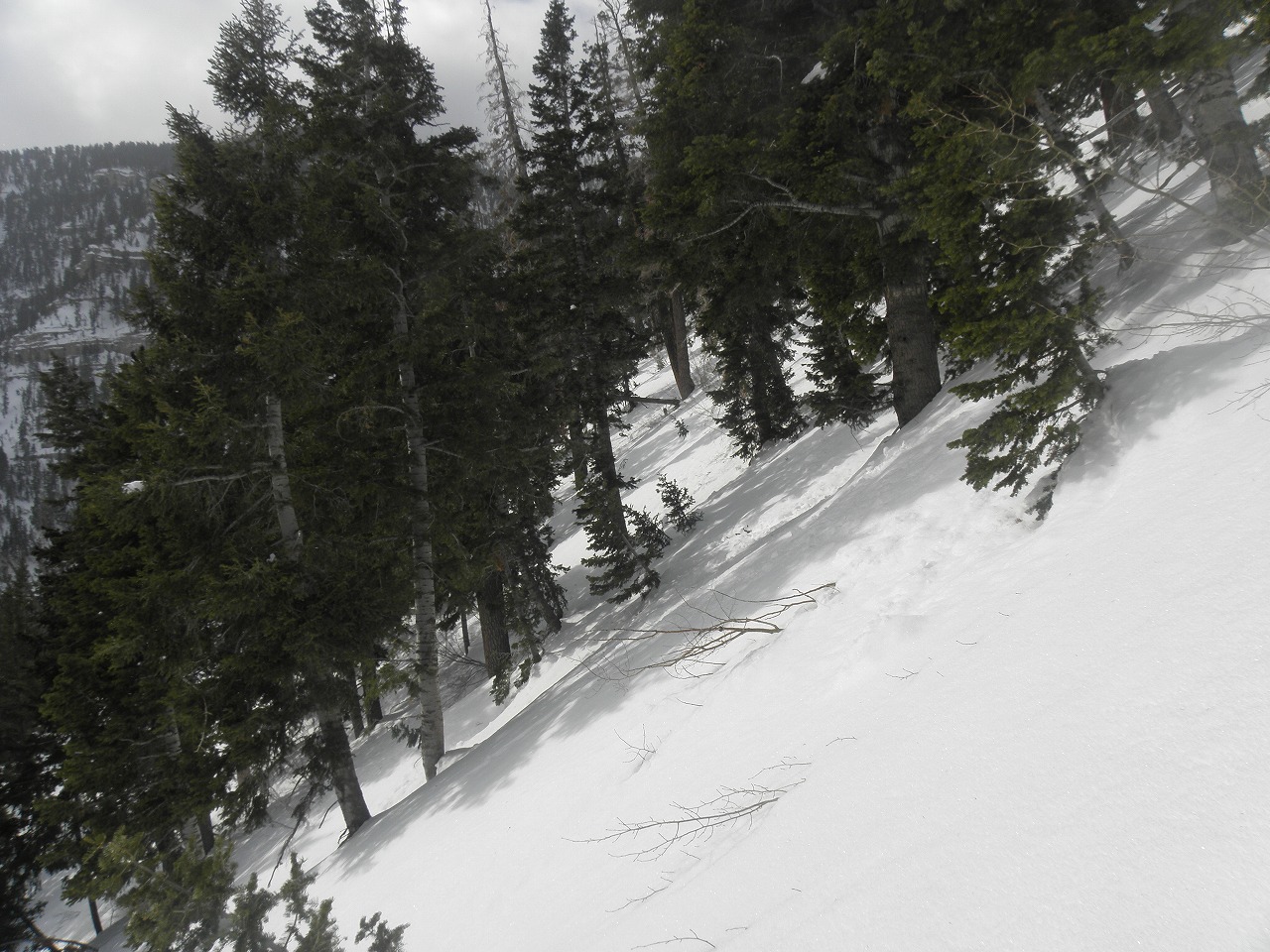
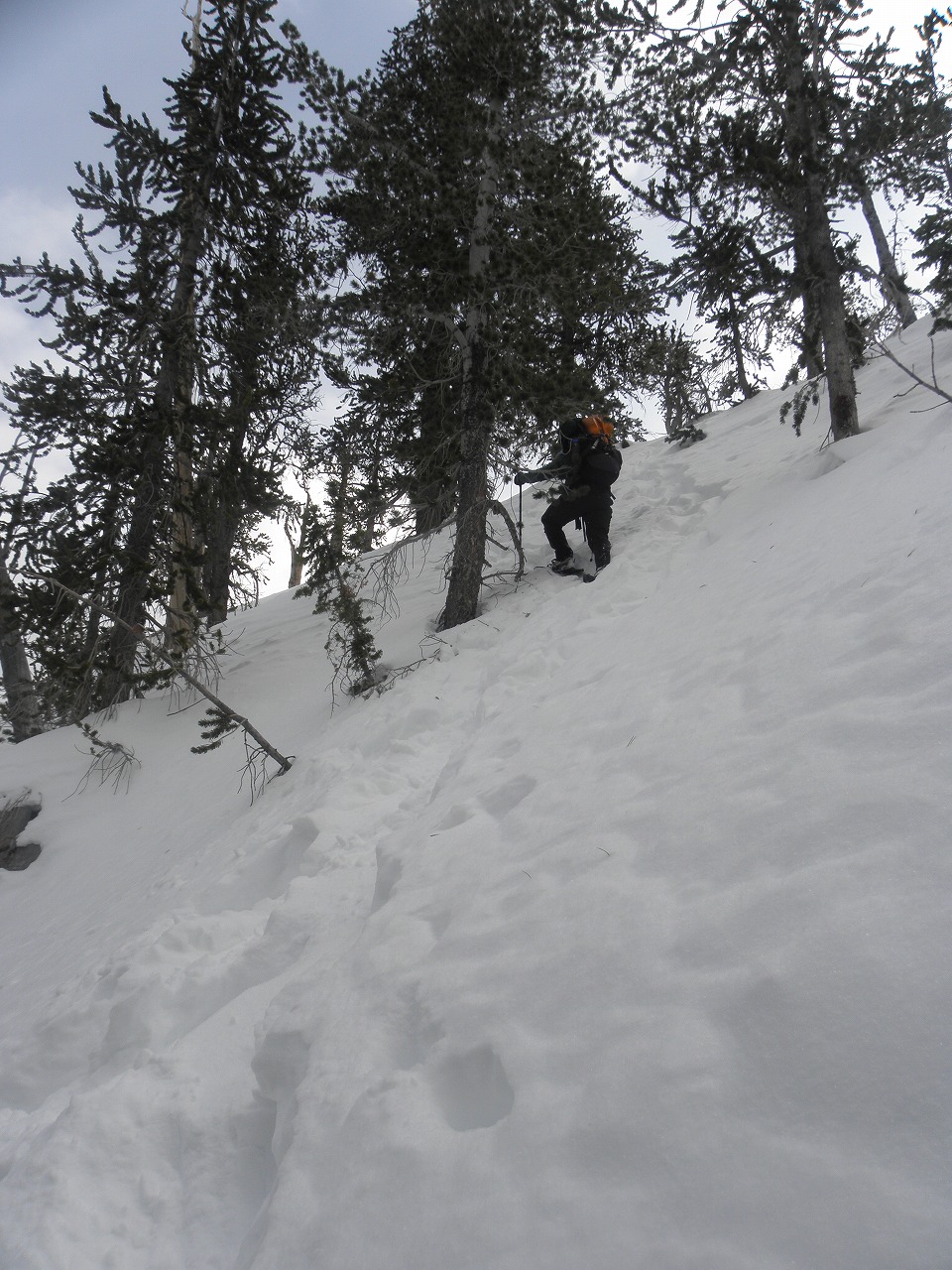
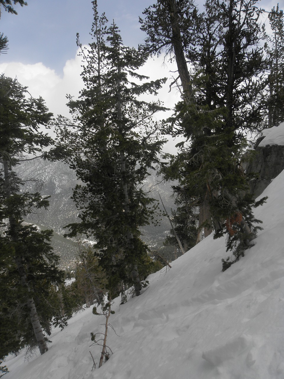
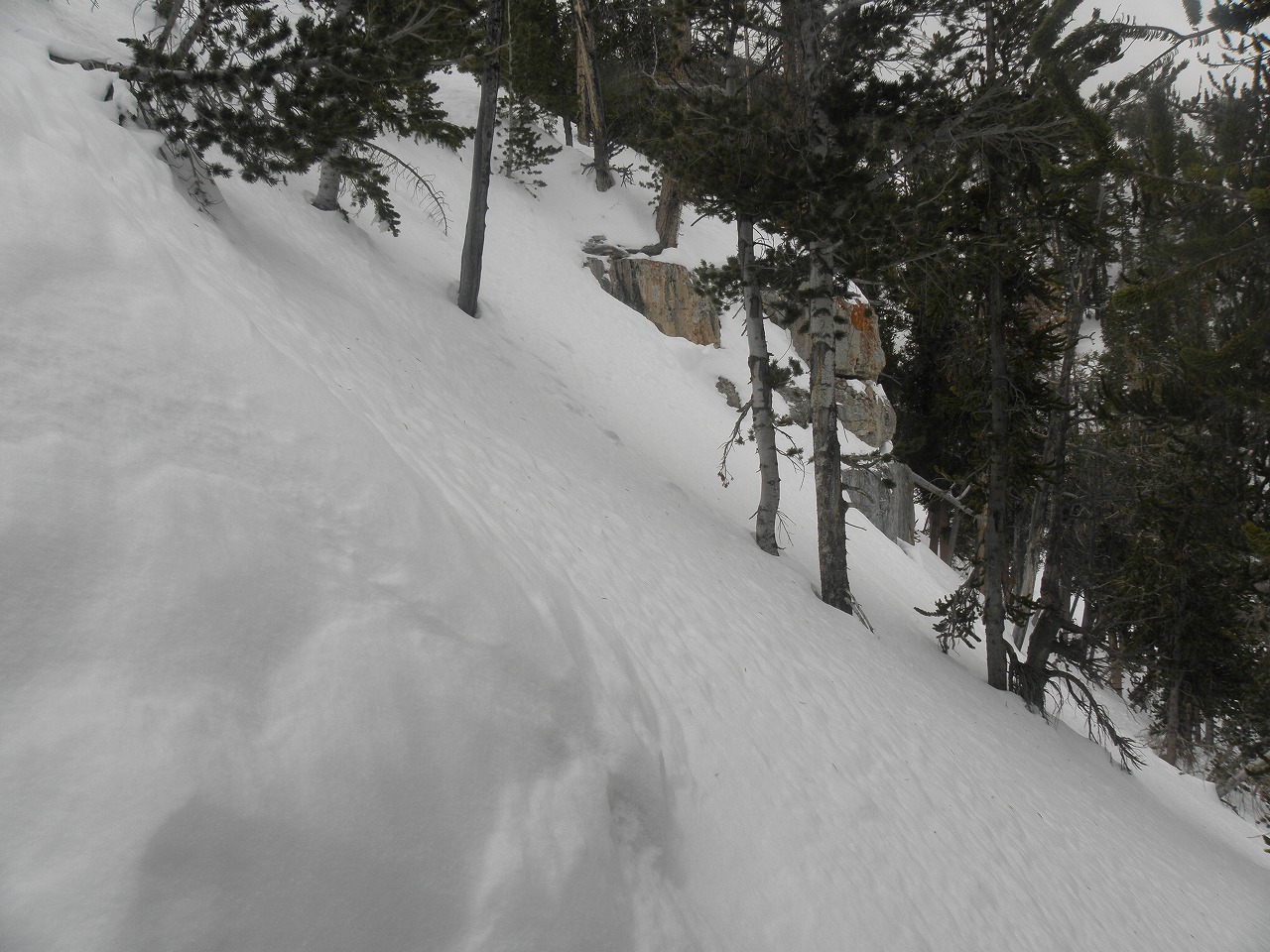
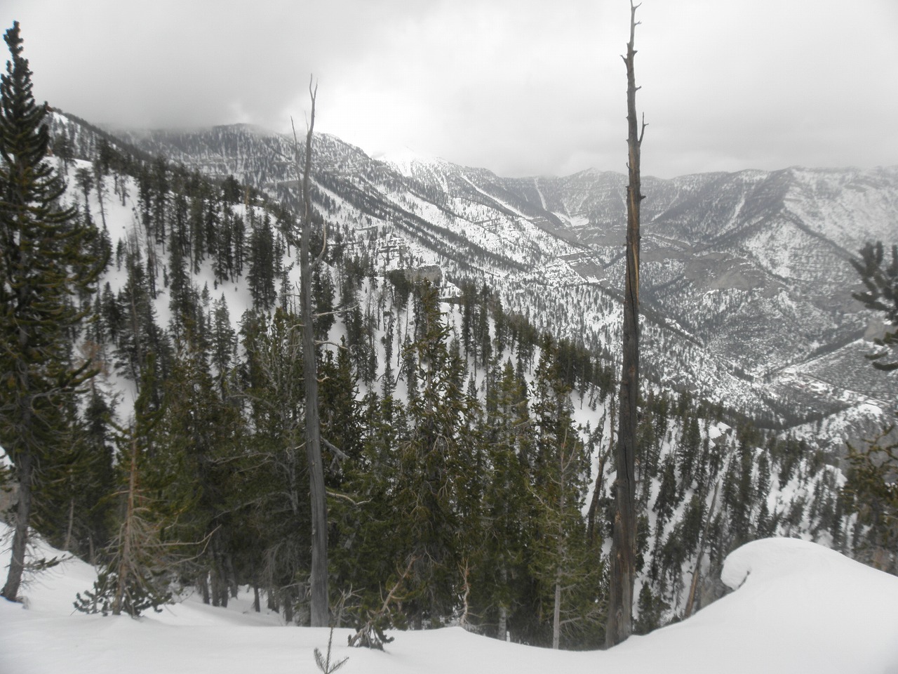
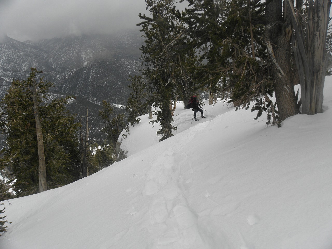
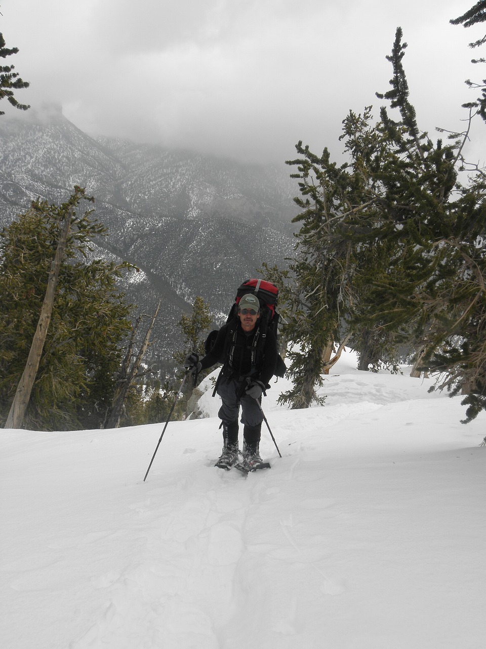
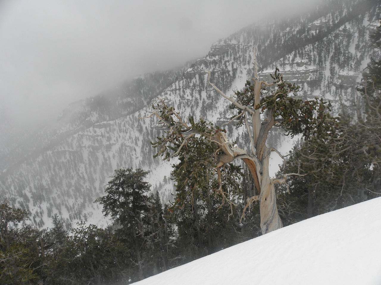
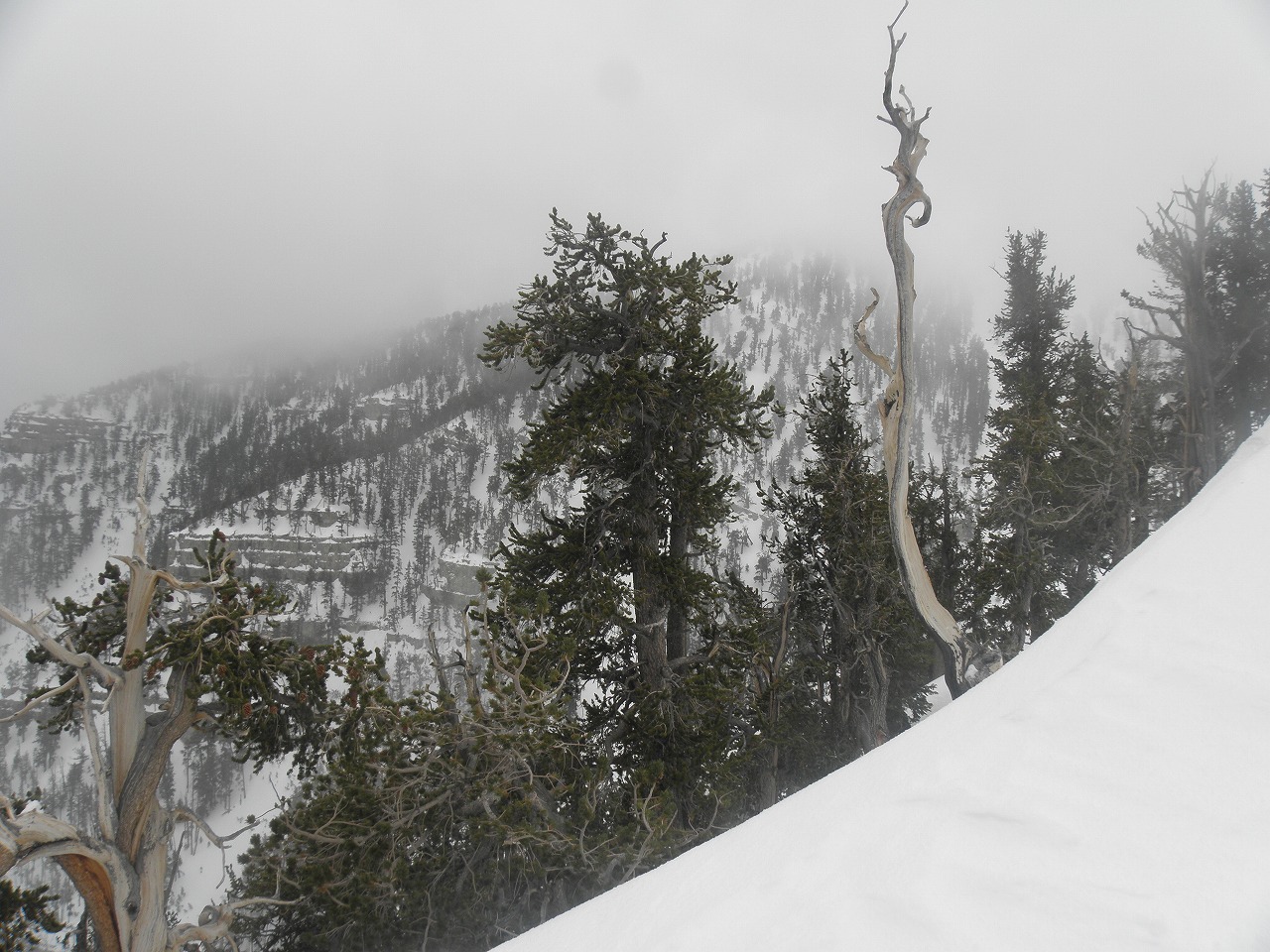
| Paul Kuroda, Daren, and I started hiking around 7AM. Since Cathedral Parking Lot and South Loop Trailhead were closed, we had to hike from the west end of the fence that's about 100 yards west of Cathedral parking lot. Paul carried about a 60 lb backpack, Daren had 35 lbs in his backpack and I hauled about 40 lbs up the mountain. As we started the weather was great. It was cloudy, but no wind. The forecast called for a 70% chance of snow. Since Charleston over 14 additional inches of snowfall a couple weeks ago, most of the young alpines in the avalanch gully were under the snow. Also the snow flattend most of the short trees and boulders. Thus most of the class 4-5 walls and brush were buried in snow. It was steep, but we kept hiking straight up. It took us about 5.5 hours to our camp spot that was about 200 ft lower than the Meadows. We didn't camp at the Meadows, because we heard the wind howling up there. As we set up our tents, snow fell and it kept up until midnight. The next morning Paul started around 5:30AM with Daren and I starting 30 minutes later. We caught up with Paul in 1.5 hours. It was a beautiful morning with just a slight breeze as we walked on the ridge line. Everything was beautiful and we stopped many times to take photos. Suddenly it changed when we got above Carpenter Canyon area. We were surrounded by clouds and strong winds pushed us around. Sometimes I couldn't see more than 100 ft ahead. Fortunately, the clouds broke as we came to the airplane crash site. It took us about 3.5 hours to stand on the highest peak in southern Nevada. Since very strong winds kept blowing from the south, there was no snow on parts of the ridge line. The peak register box, weather station, solar panel and flag poll were snow free. My right hand was numb since I was taking lots of photos with my bare hand. Even though the wind chill made it feel like sub zero temperatures, we stayed at the peak for 20 minutes and enjoyed the view. The first mile of the descent was the worst part. Strong winds blew in my face and my ear was hurting big time. My hands were numb even though I was wearing thick gloves. After we passed the Carpenter Canyon area, the wind got weaker and we took a break. I was a little exhausted, but we made it back to the camp site in less than 3 hours. We took a late lunch and packed up the tents. Following the route back to the cars took a little over 2 hours. |
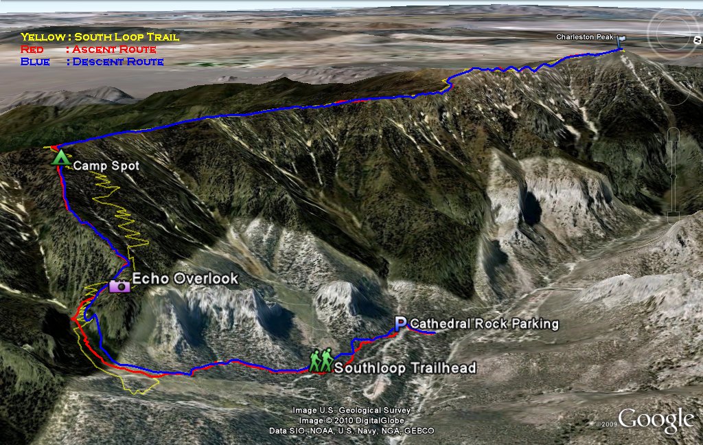 Entire 3D trail map |
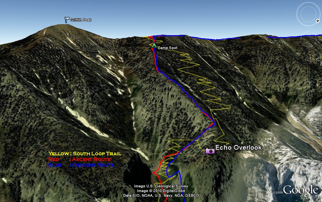 1st day ascent |
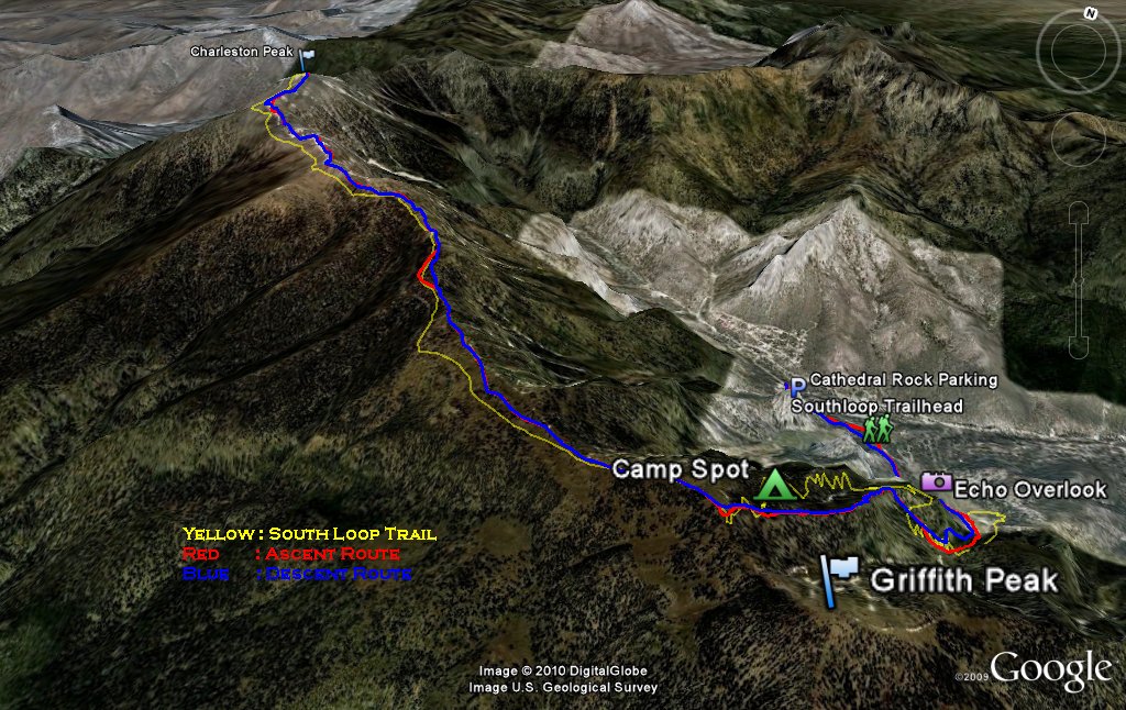 ridge to the peak |
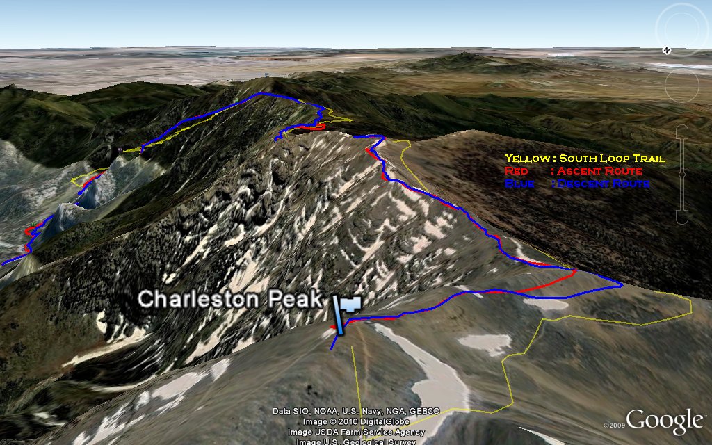 Charleston Peak |
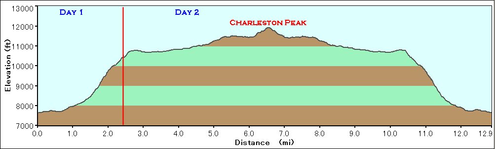 Elevation Chart |
 Google Map |
 Google Earth |
|
| ||||||||||||
|
| Showing 1-24 of 142 pictures | Next --> |
|
|
|
|
|
|

|
|
|
|
|
|
|
|
|
|
|

|
|
|
|
|
|
|
 |
 |