Muddy Mountain High Point
November 18th 2011
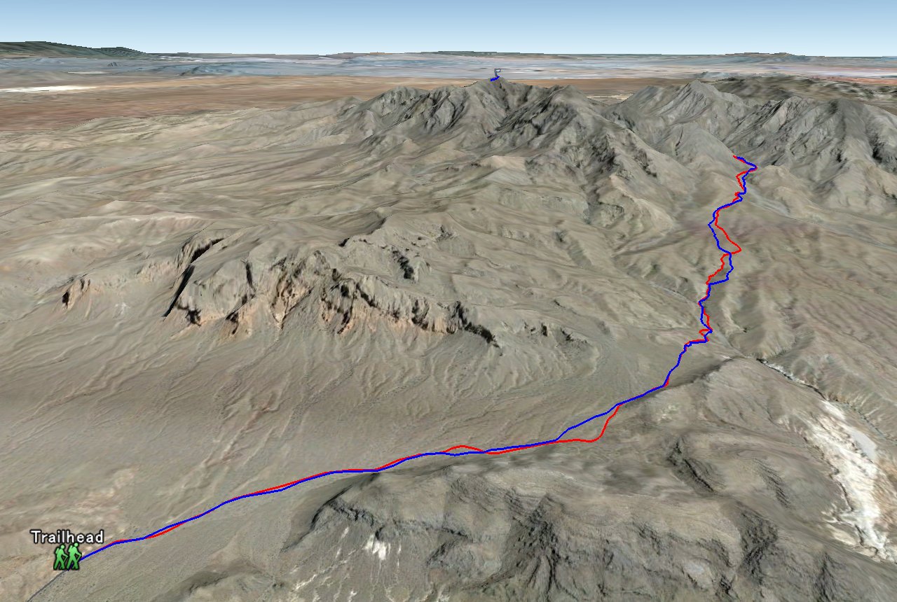
Entire 3D trail map
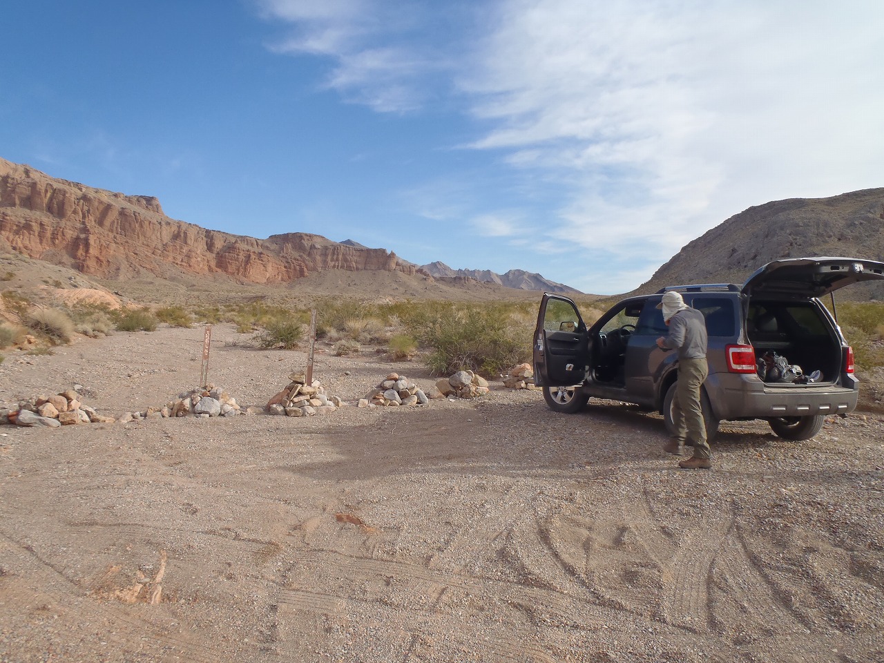
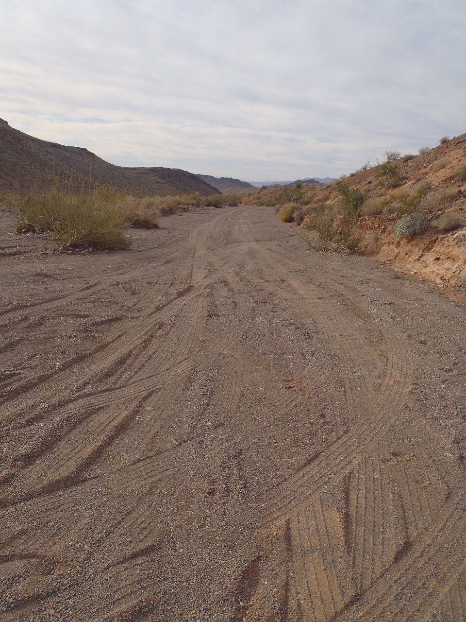
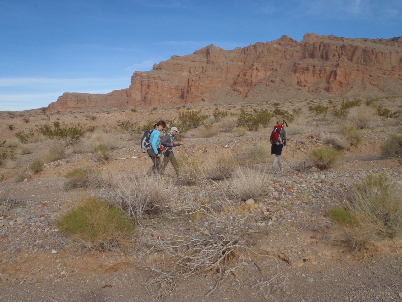
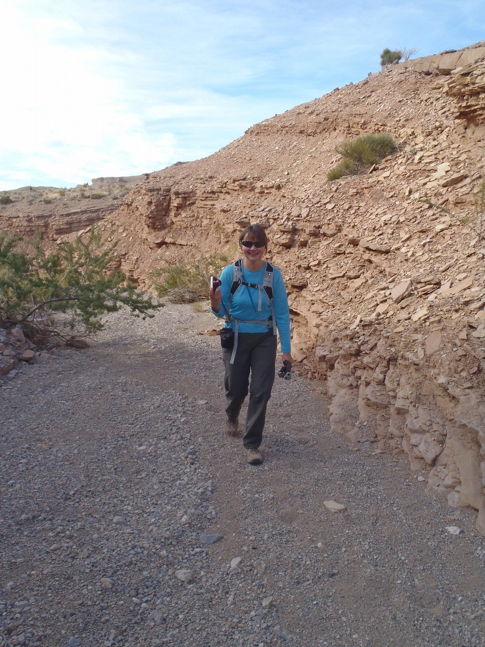
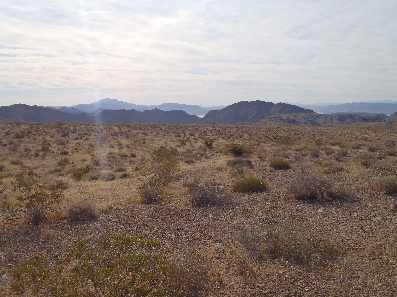
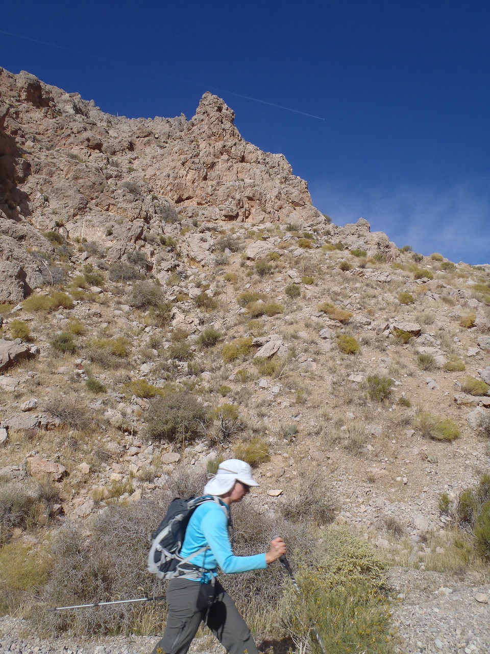
near the trailhead
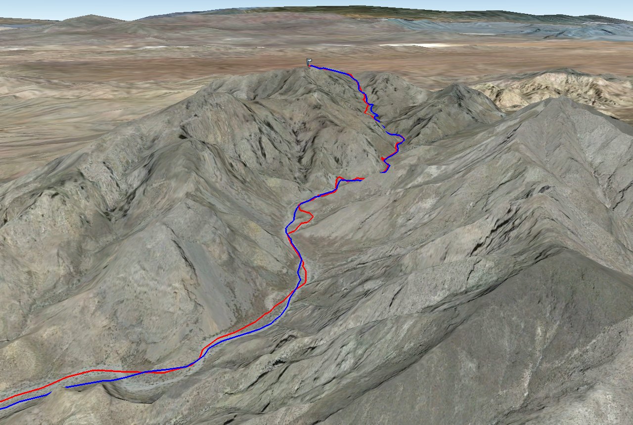
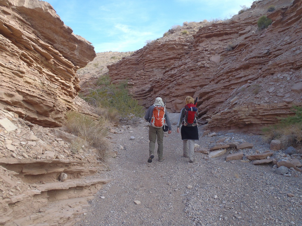
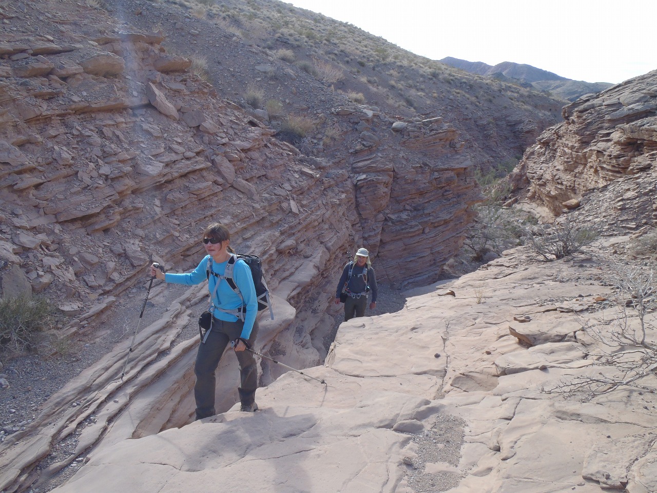
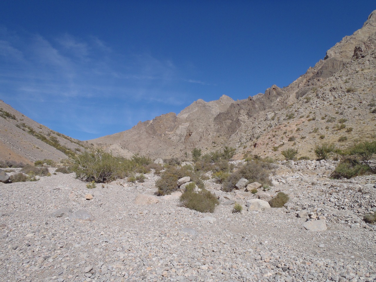
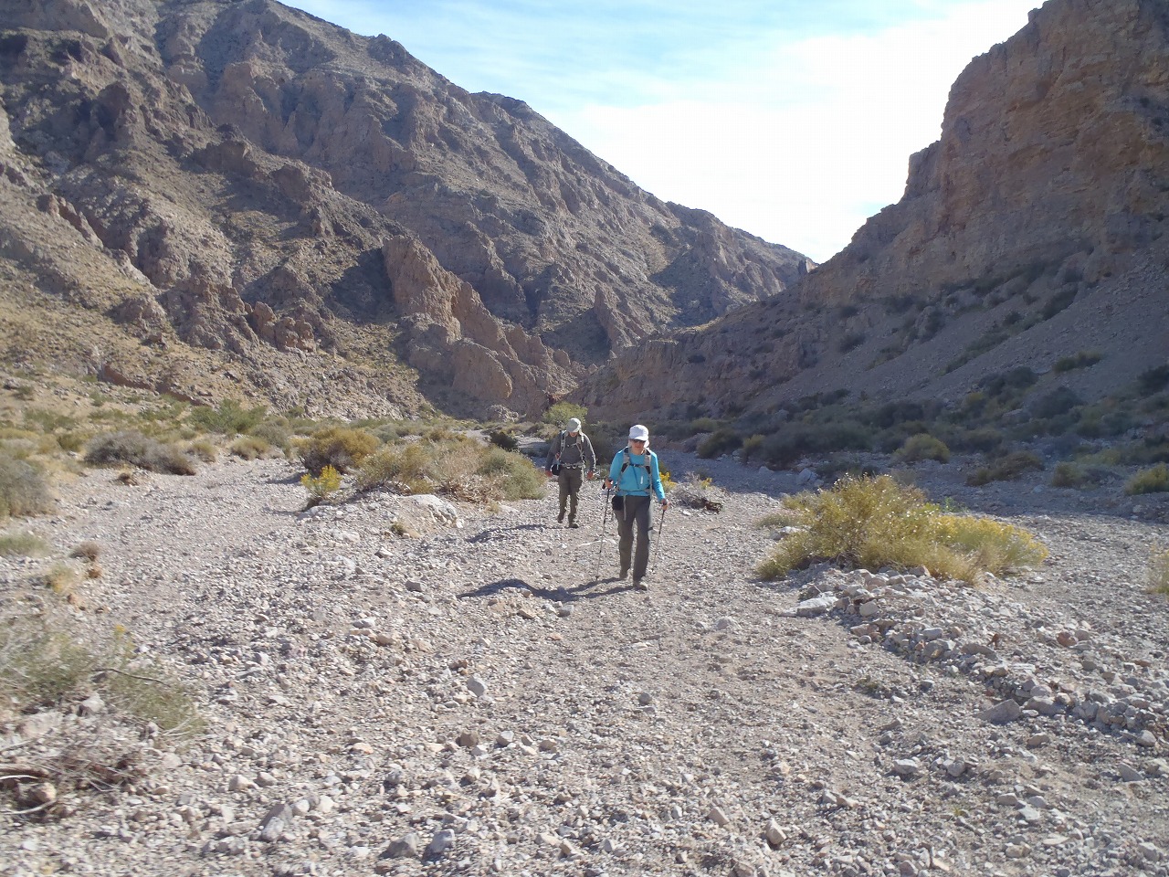
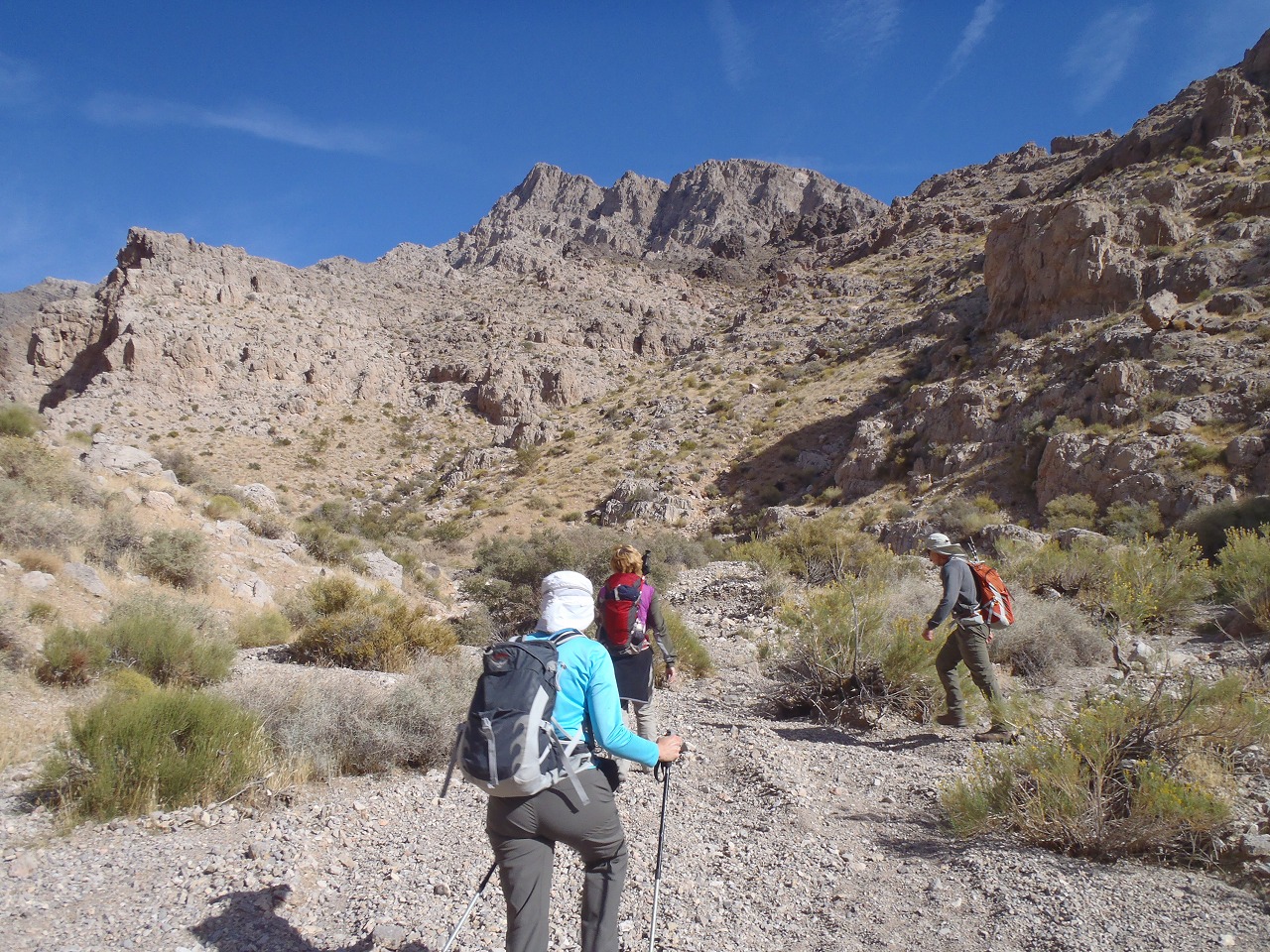
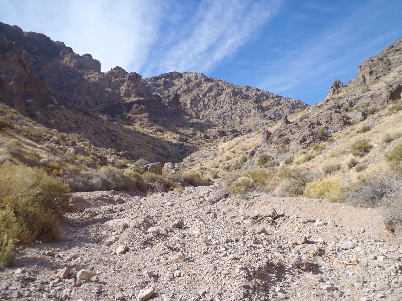
Canyon Part
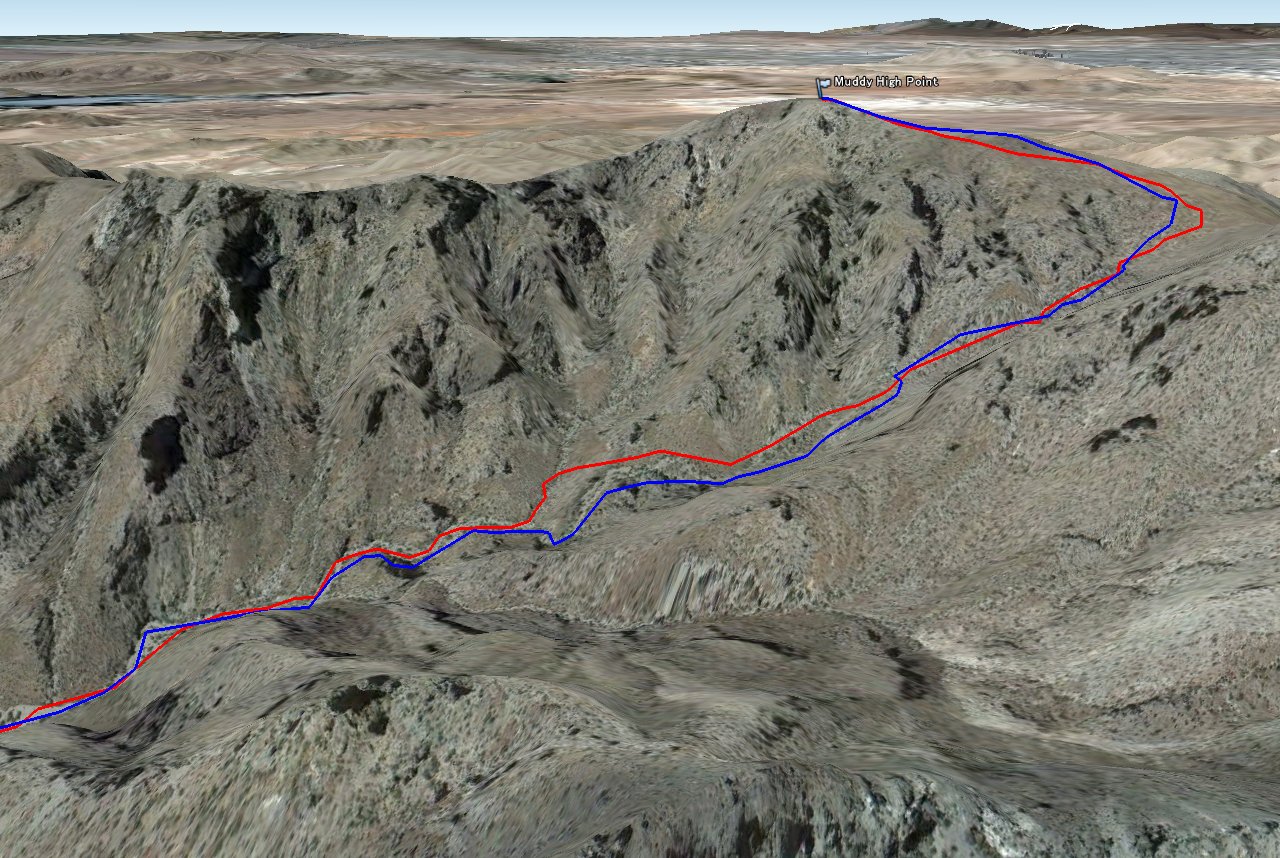
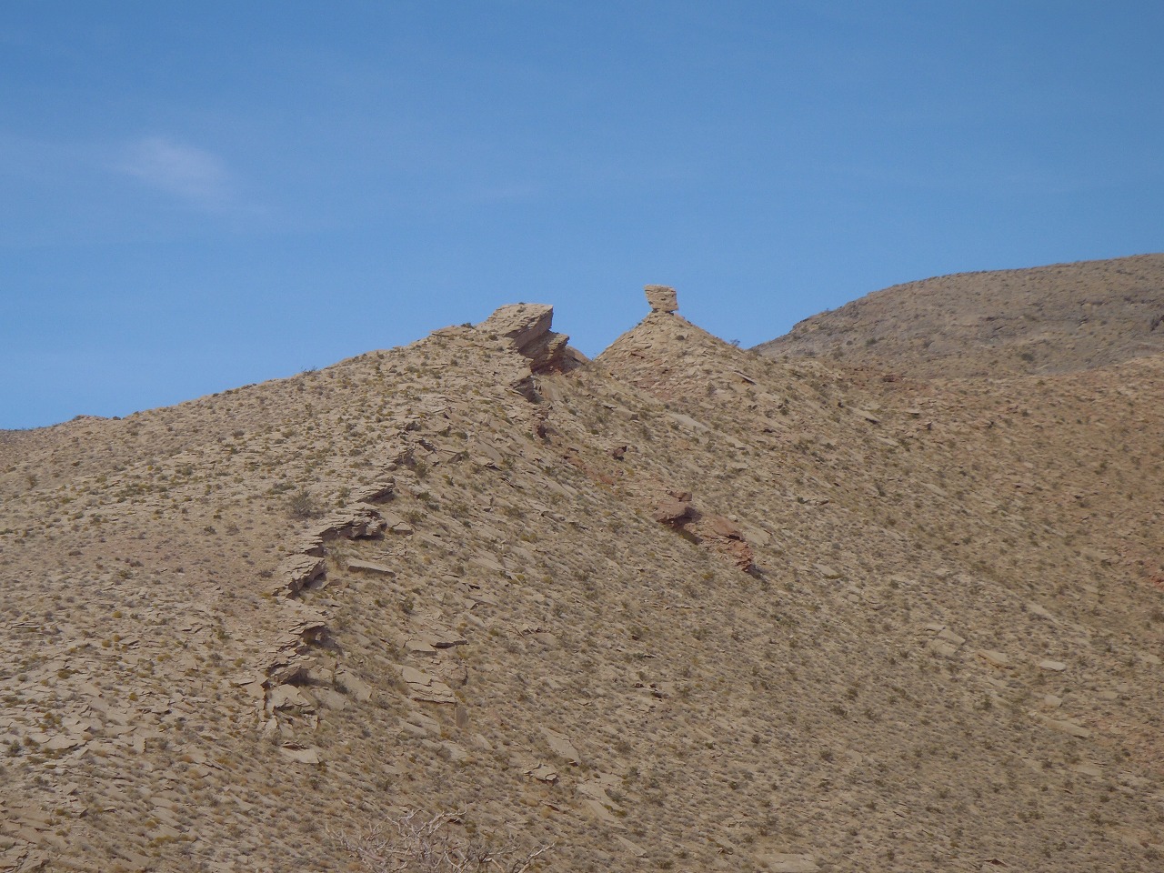
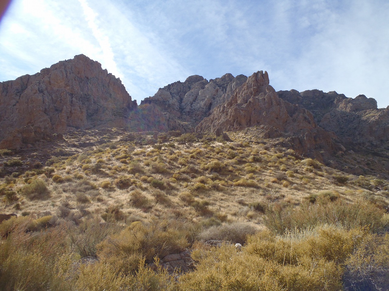
Muddy High Point
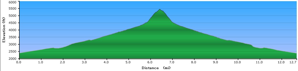
Elevation Chart
Google Map
Google Earth
Hike Status :
Trailhead
: 4.5 Mile off Northshore Rd.
Distance
: 13.25 mile
Elevation Peak
: 5,432 ft (Muddy High Point)
Total Elevation Gain
: 3,800 ft
Class
: 2 (plus couple of 3)
Time
: 6.5 hours
Showing 1-24 of 54 pictures |
Next -->