
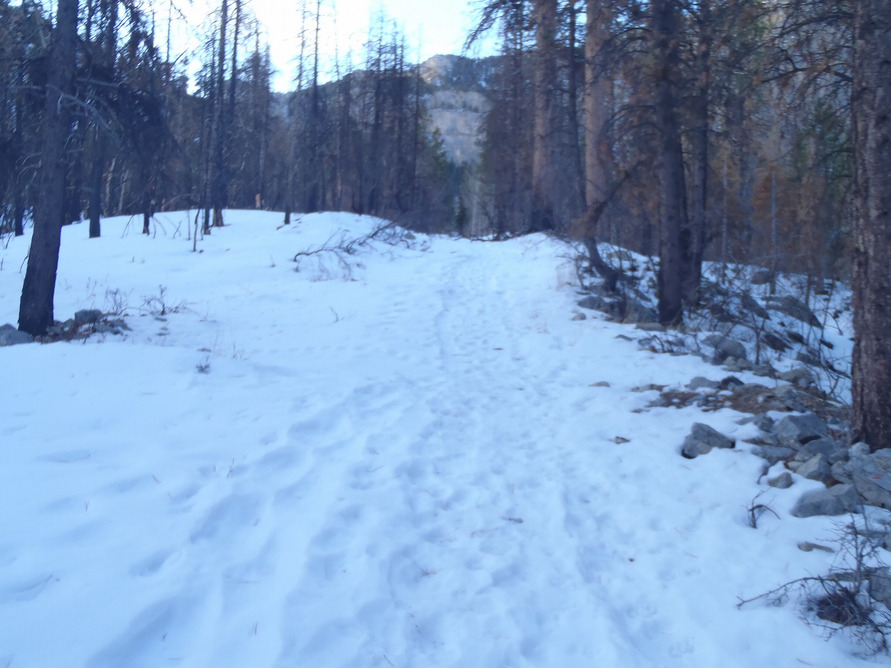
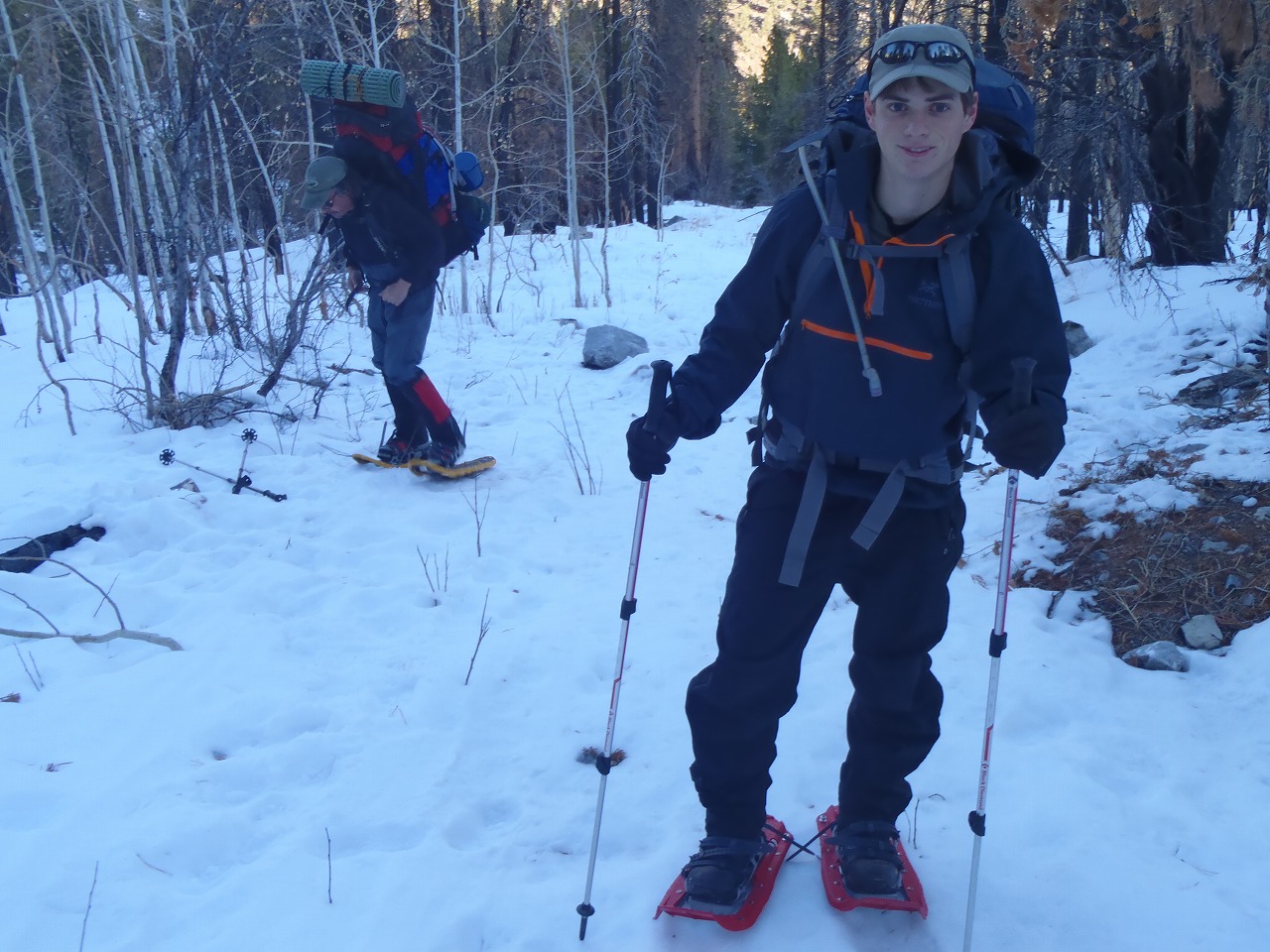
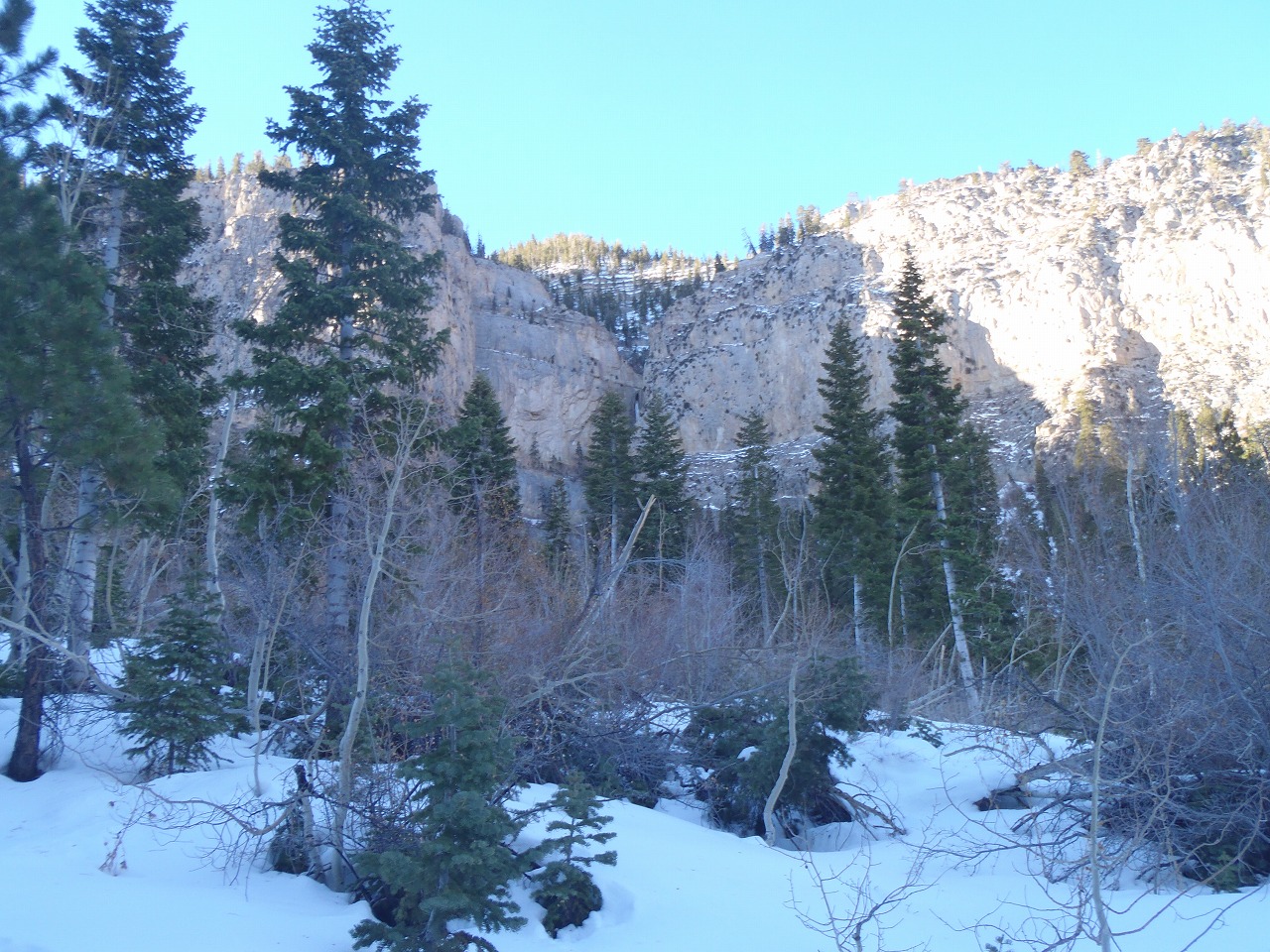
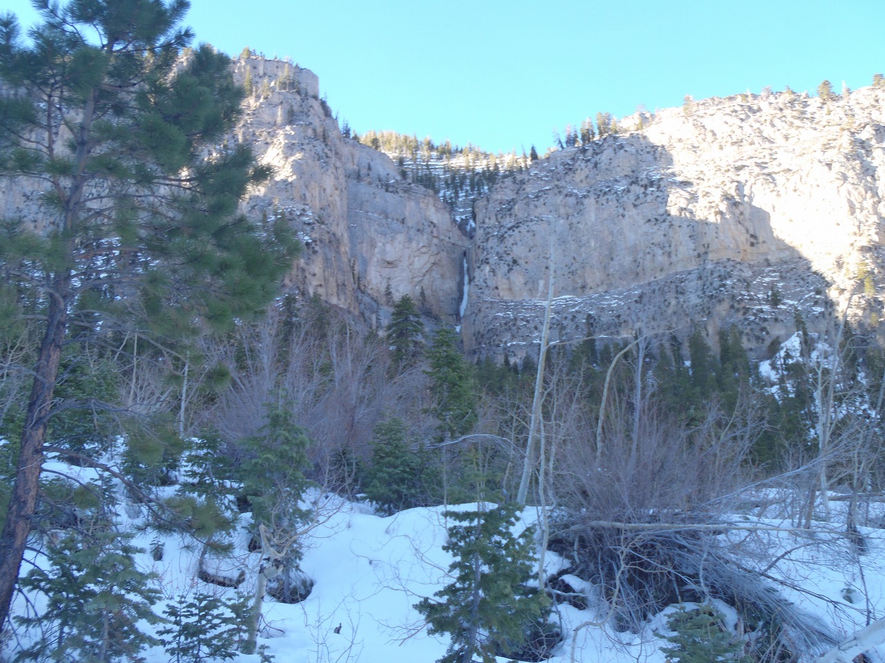
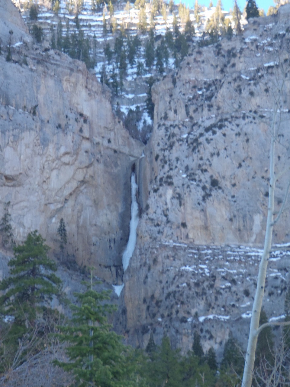
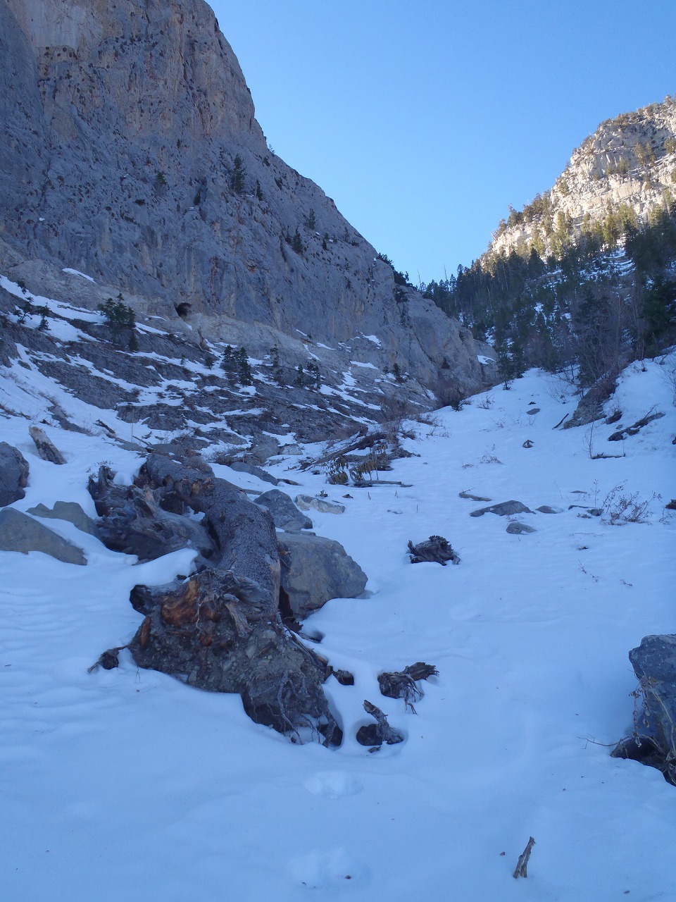
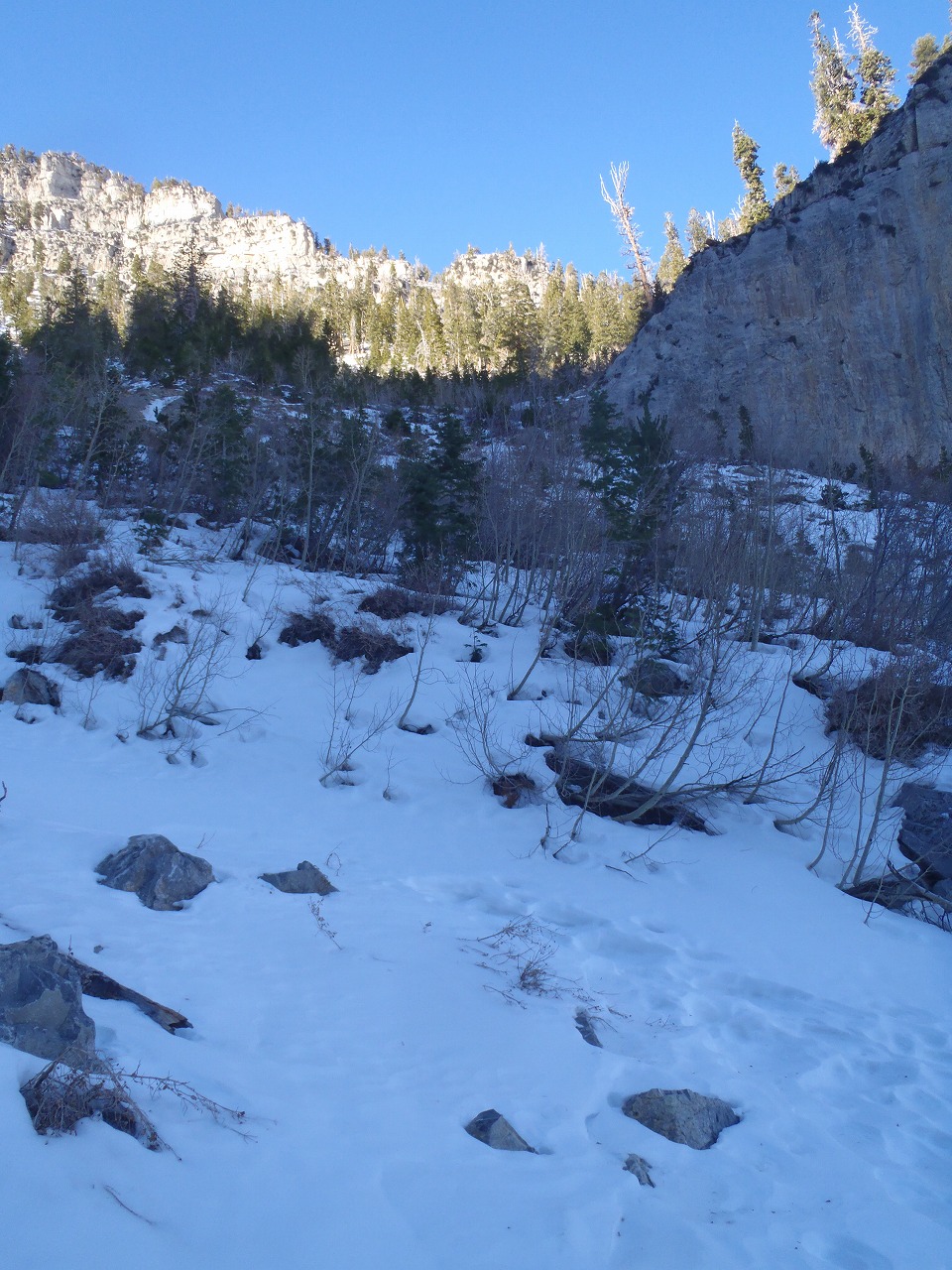
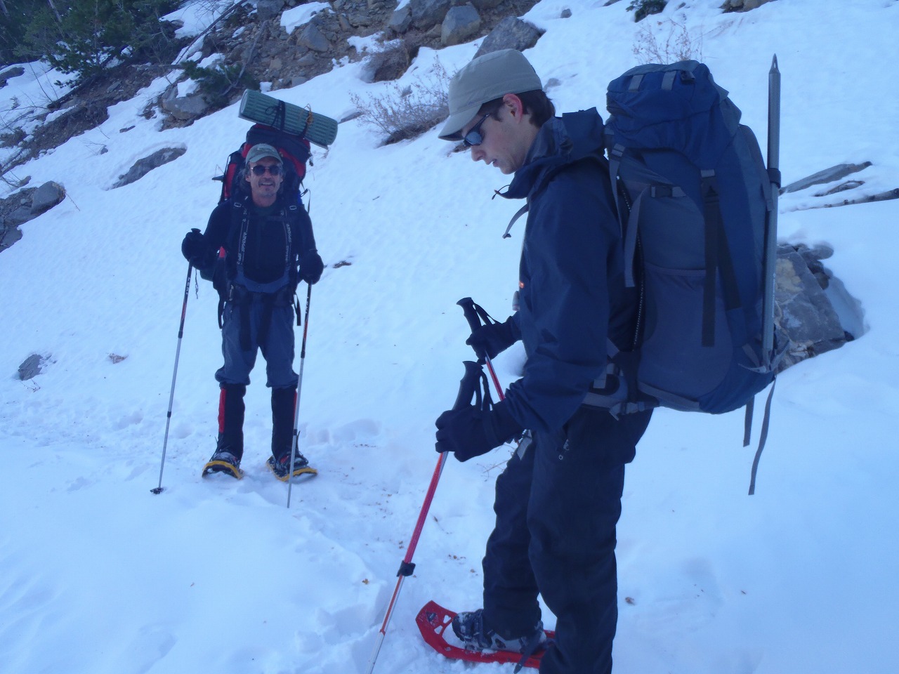
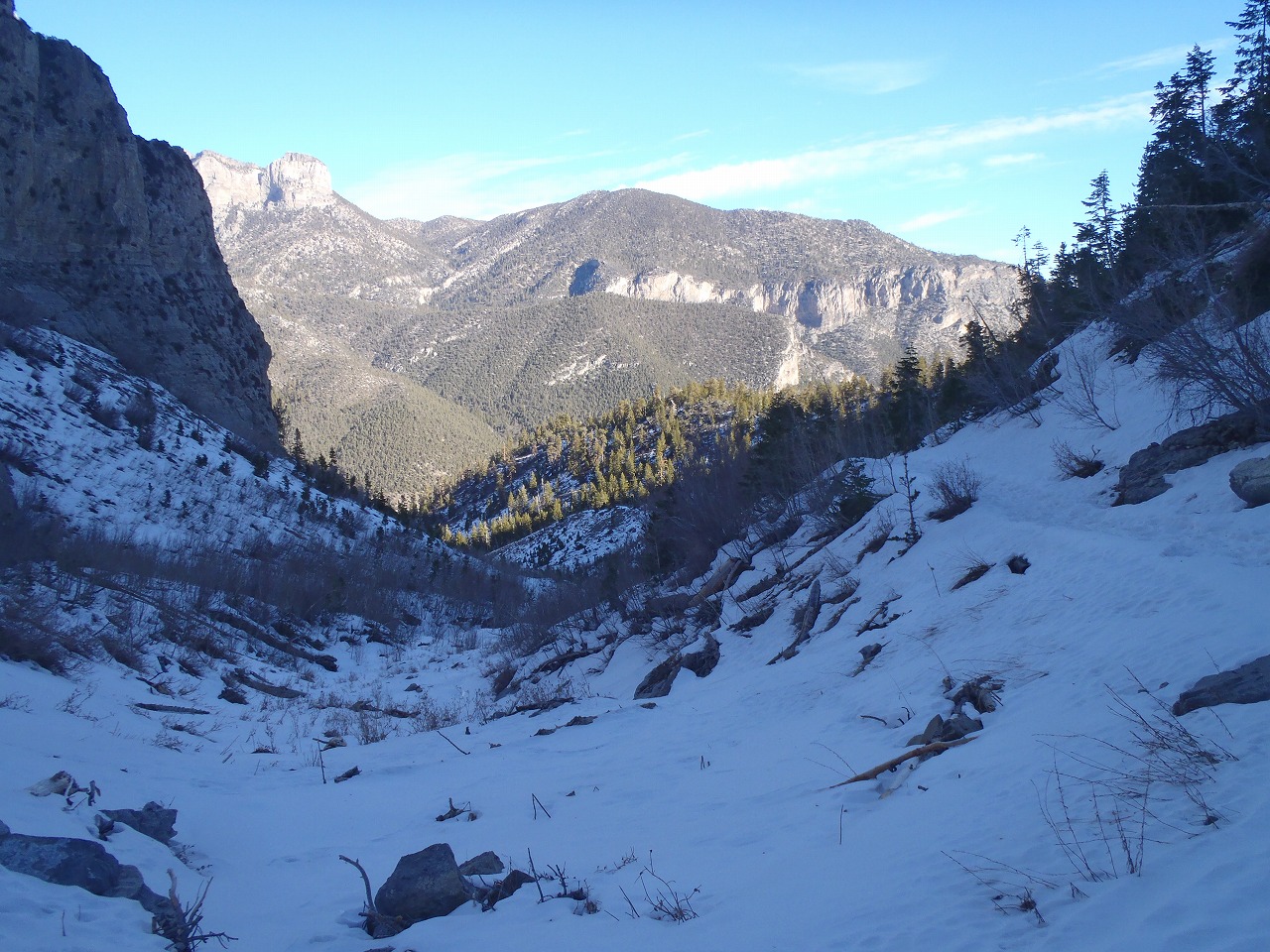
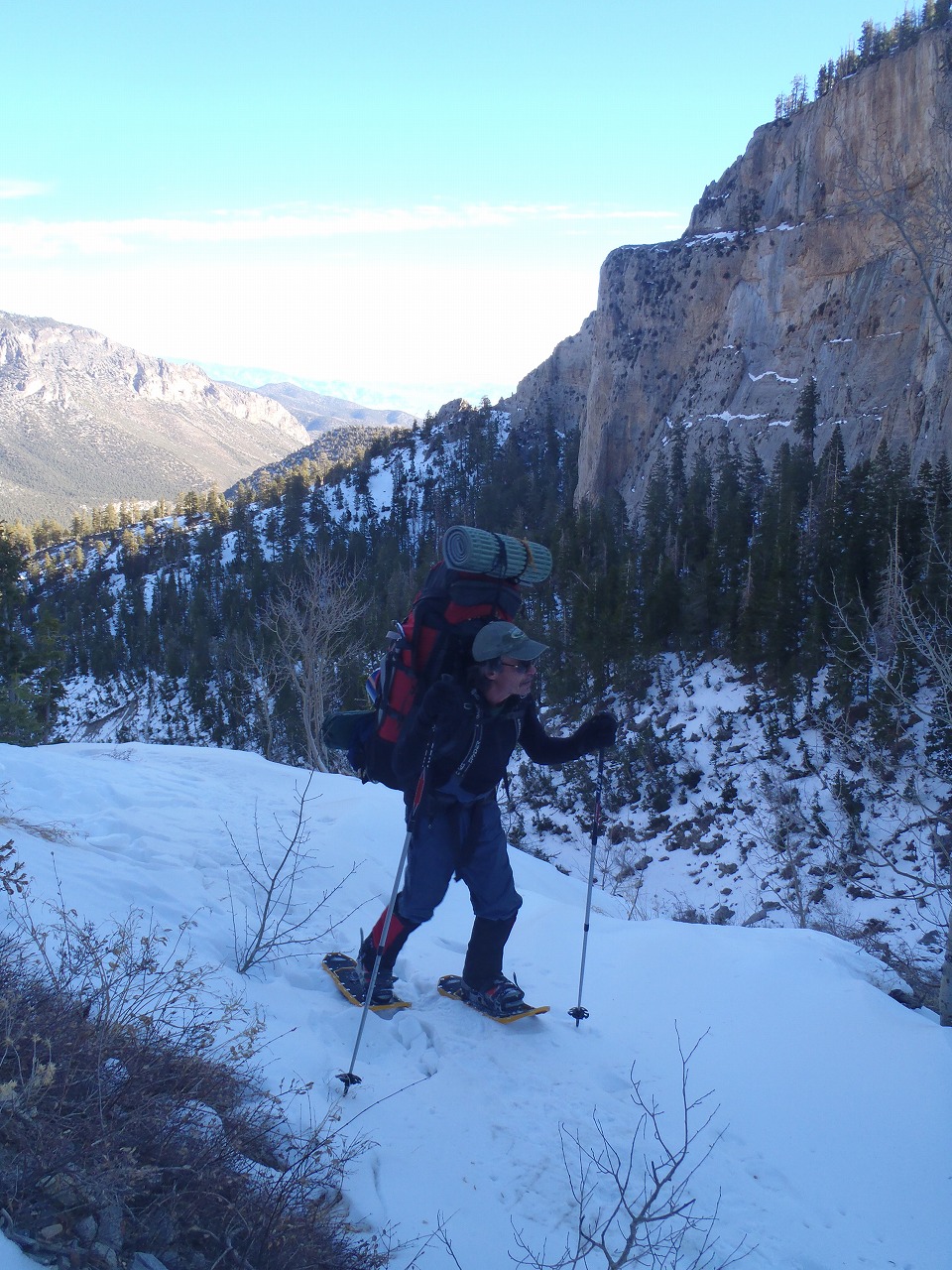
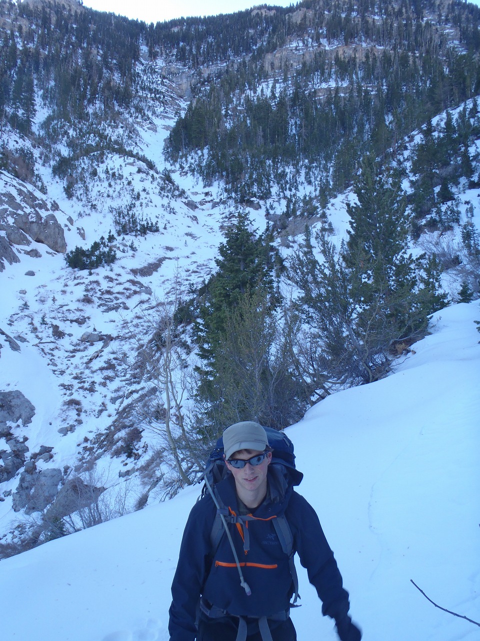
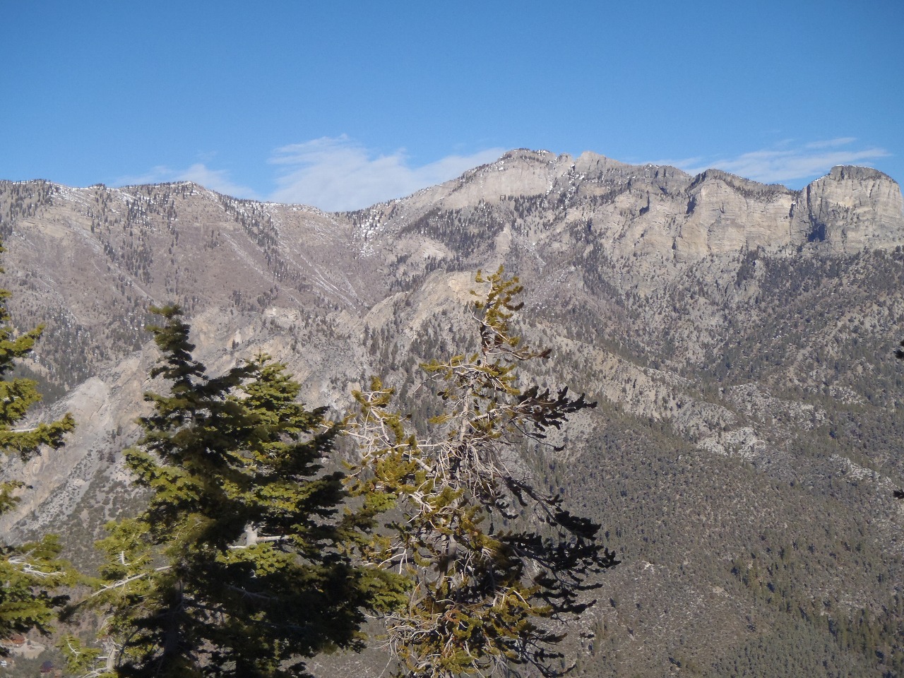
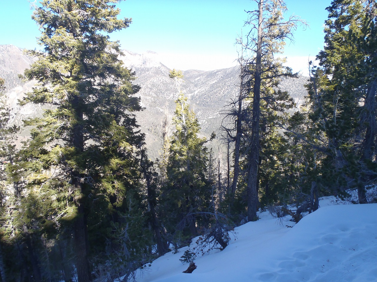
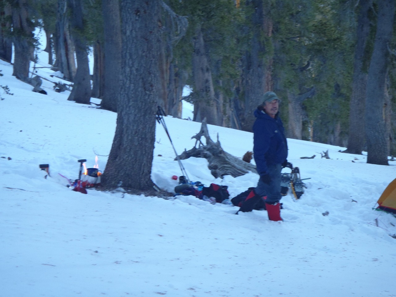
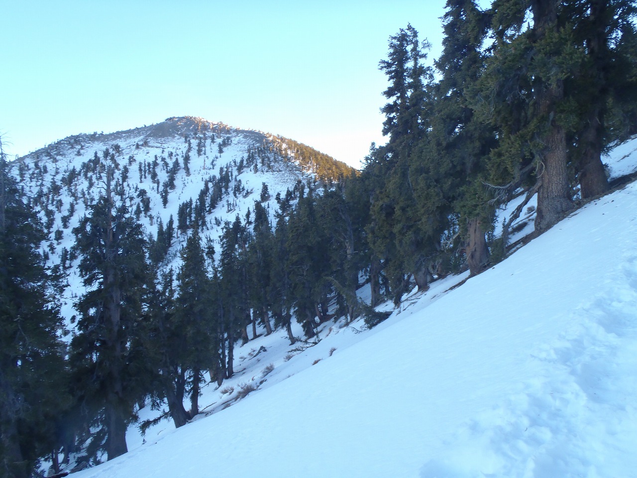
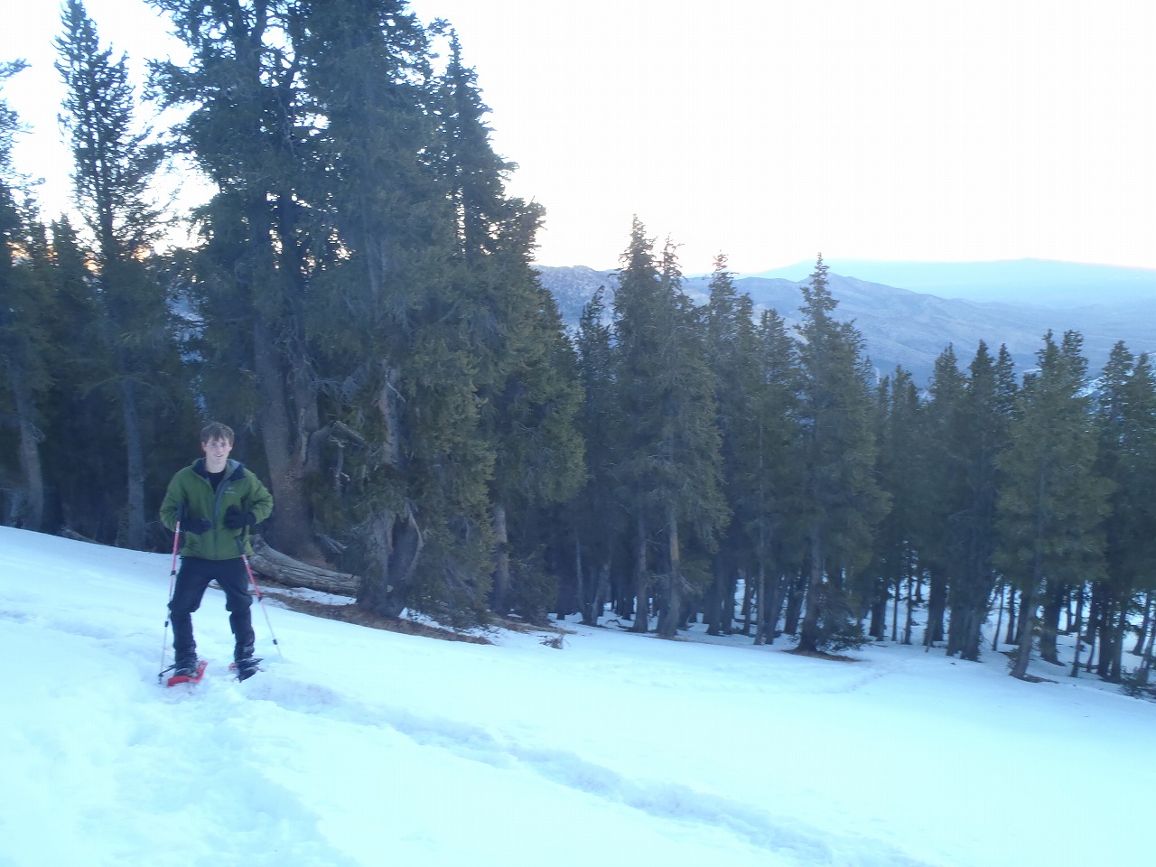
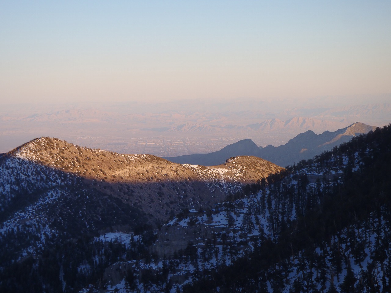
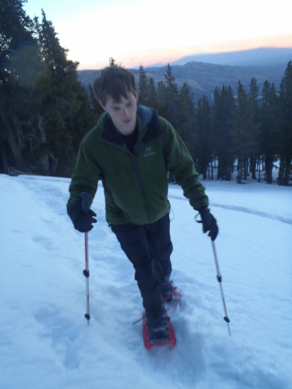
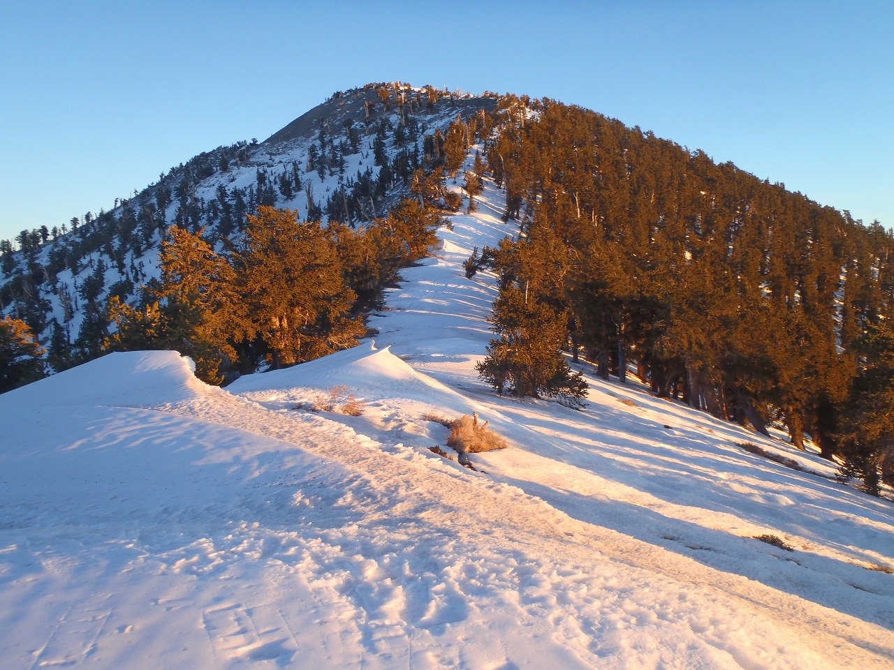
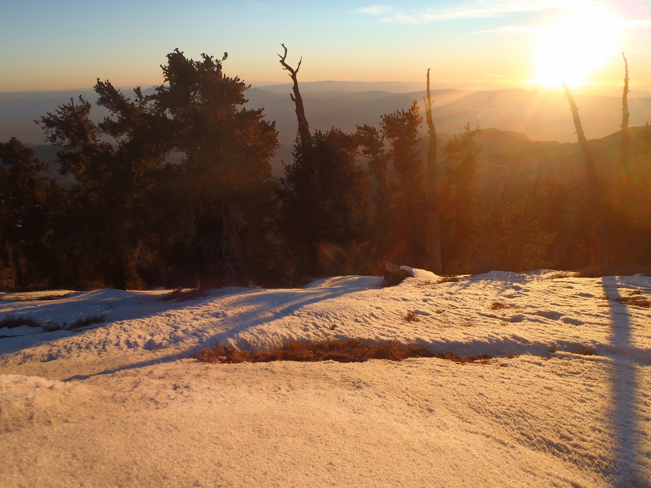
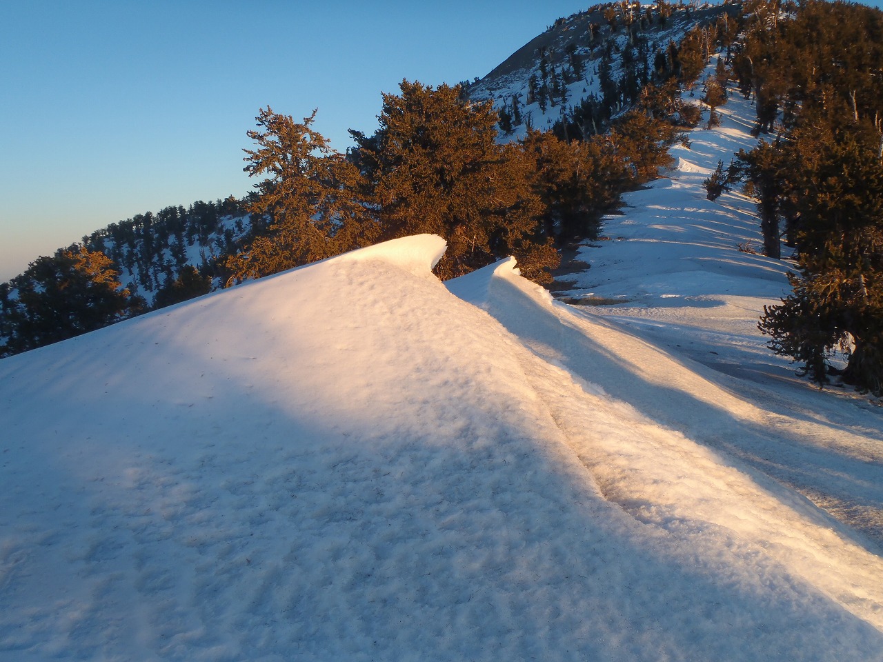
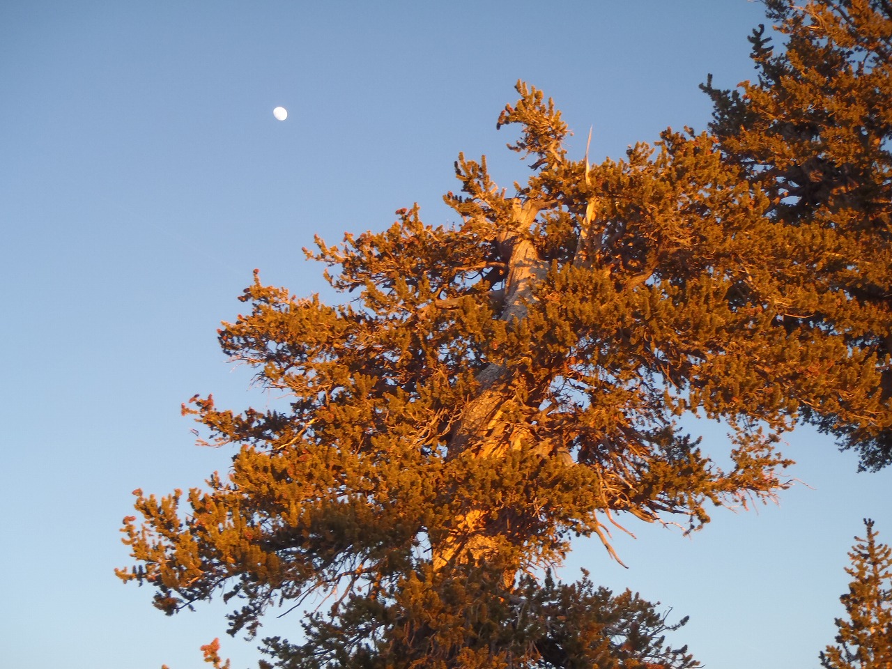
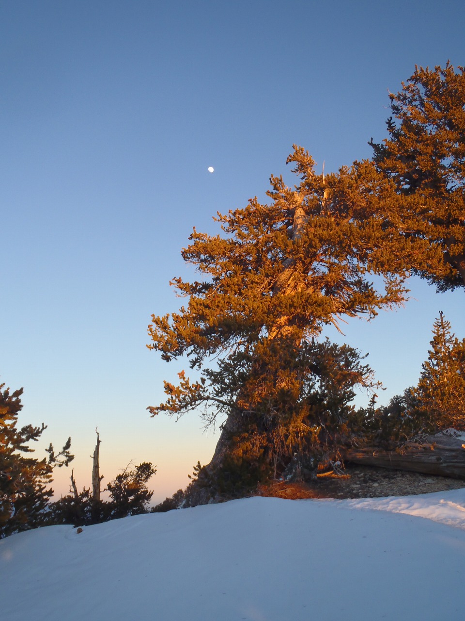
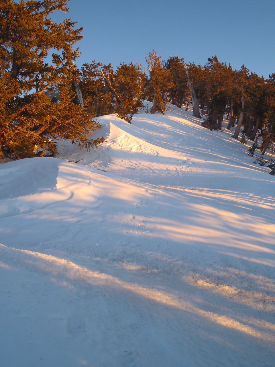
| This was my 3rd year of Annual Winter Backpacking Trip to Charleston Peak. I'm doing this with Paul Kuroda for last 3 years. This year, one experienced hiker joined us. Kyle the young mountaineer had been to 30days NOLS mountaineering course. Due to the Southloop trailhead/Cathedaral Parking lot closure (for safety reason), we had to park far a way from the trailhead for last couple of years. I sent an email to my friend Jill who lives in small town at Mt.Charleston to get some good idea for parking. And gradly she gave me an offer to park our car at her place which is only couple doors down from Mt.Charleston Elementary school. I had never started hiking from that area, but trail was already broken and we didn't have any trouble to get SLT from there. Since we had very warm days for last couple of weeks, most of the snow had already melted. I didn't see any snow on the South face of the mountan. And even the North face of the mountain had only 1-2 ft deep snow. The trail was well broken all the way up to the Griffith Saddle. I used Yak Trax for first 2 miles (to the top of Echo cliff), then switched it to the Crampons. The trail surface was little bit icy and slippery. There were only few inches of snow or no snow at some sections. We set up our tent at 10,400 feet which is about 300 ft below the Griffith Saddle. I know this spot doesn't gets any strong winds like over the ridge line. Less winds, Less windchills. The temperature on next morning was 31 degrees at there. After we took a lunch and short nap, Kyle and I hiked up to the Griffith Peak and watched the Sunset. The last part to the peak was fully covered with snow and trail was not broken. But it was hard packed snow and very easy to make it to the top. On the next morning, we headed to the Charleston Peak. Since I didn't have any problem to make it to the Griffith Peak with Crampons, we had decided to go Charleson Peak with only crampons. The snow surface was mostly icy but sometimes it was soft. Even though, it was only few inches to 1 ft deep. (maybe 2 ft max) And we didn't have any problem with it. Once the trail goes over the tree line, we saw only a patch of snow on the mountain. So, we decided to take off the crampons and go with only boots for last 1.5 miles to the Charleston Peak. And we didn't get any trouble with it. Amazingly, there was no winds at the peak. Most of the time I went there, it was very windy at the peak. Actually, we had 60-70 mph gust winds last year. On the way down, the snow surface already started gets soft and our feet sank in it. We had to break a trail trough snow field, but even though it was not a big issue. |
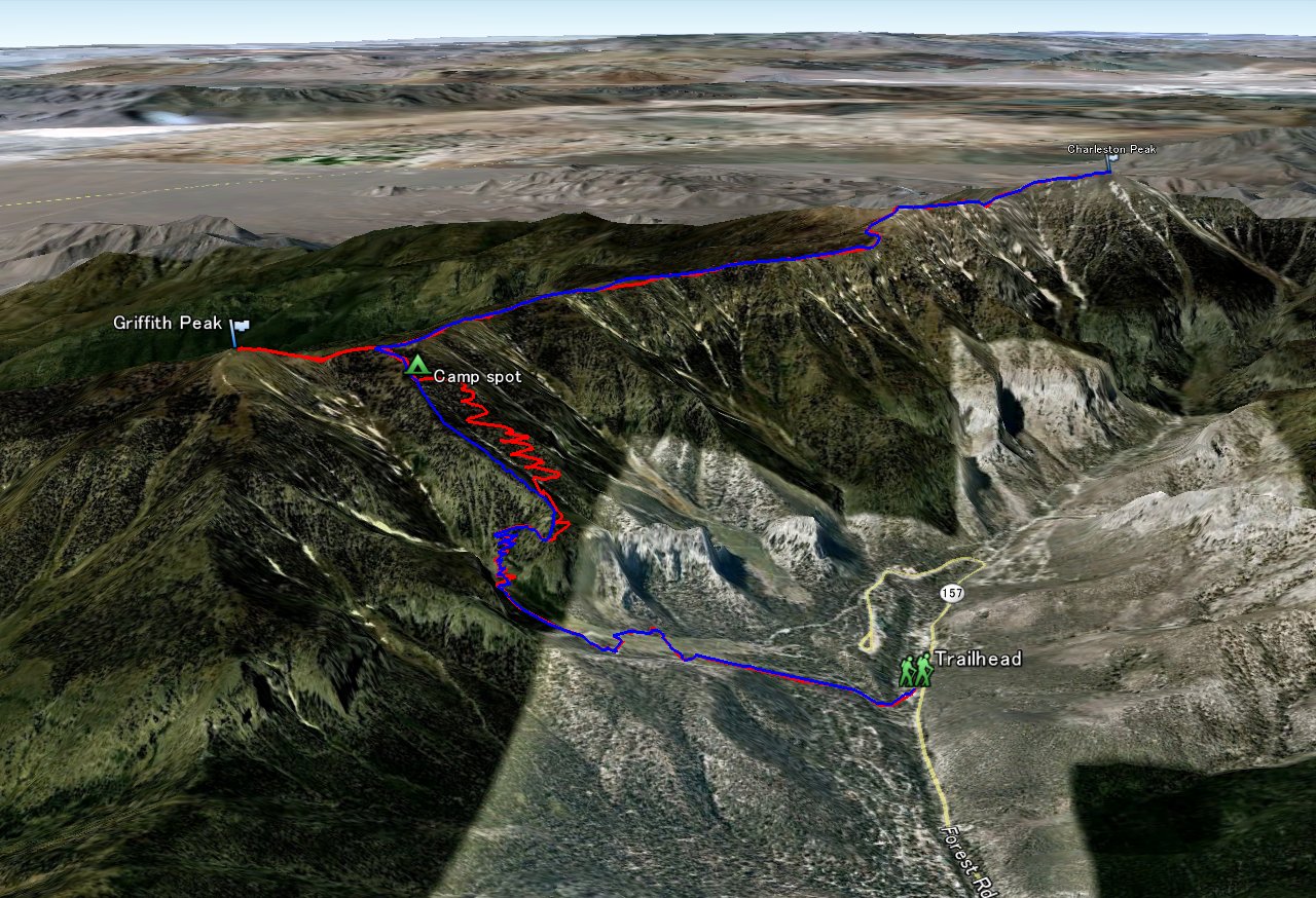 Entire 3D trail map |
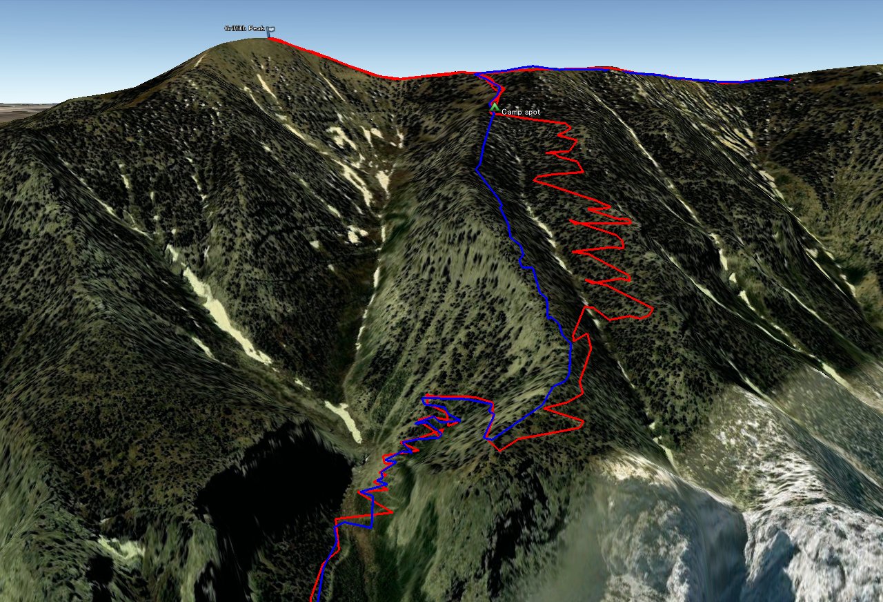 South loop trail |
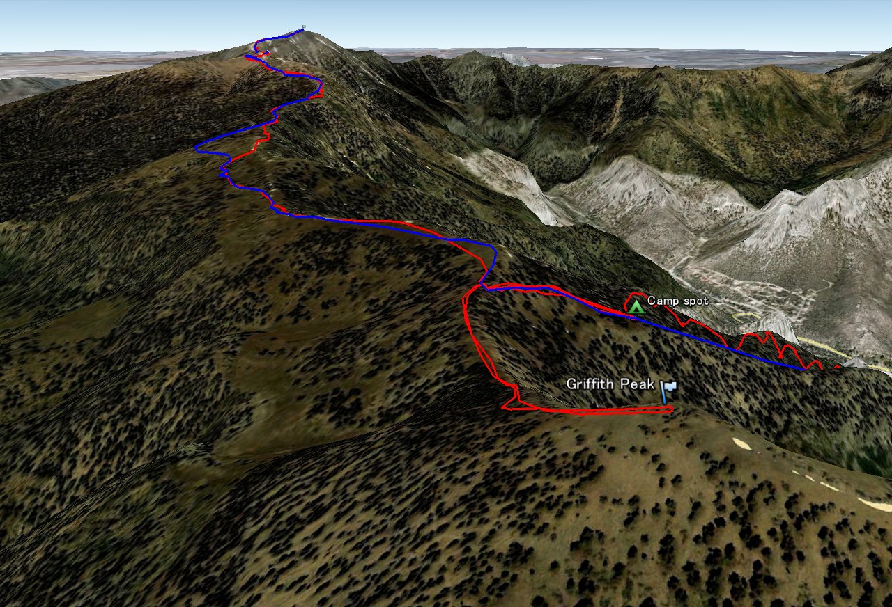 Griffith Peak |
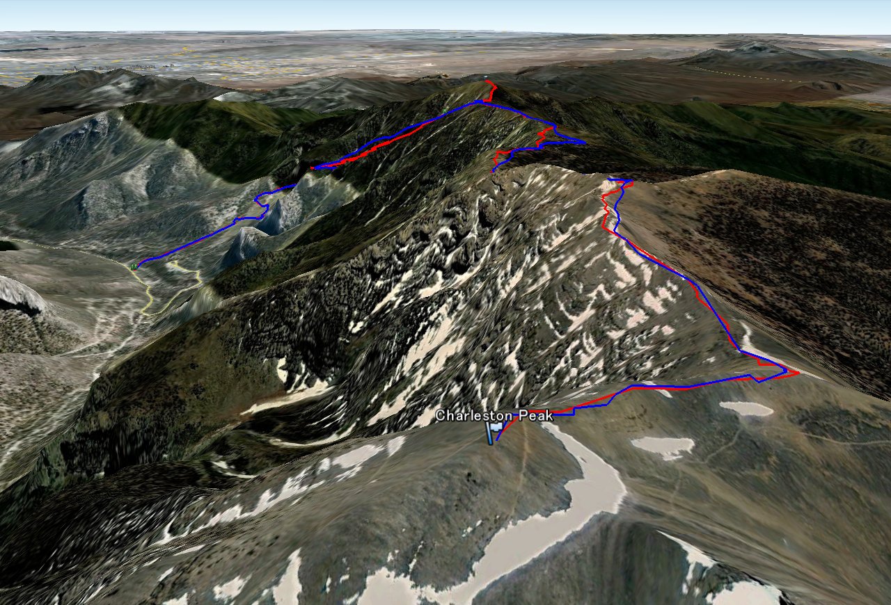 Charleston Peak |
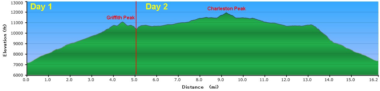 Elevation Chart |
 Google Earth |
|
| ||||||||||||
|
| Showing 1-24 of 92 pictures | Next --> |
|
|
|
|
|
|
|
|
|
|
|
|
|
|
|
|
|
|
|
|
|
|
|
|
 |
 |