Sunrise_Mtn_120112 Mtn.
January 12th 2012
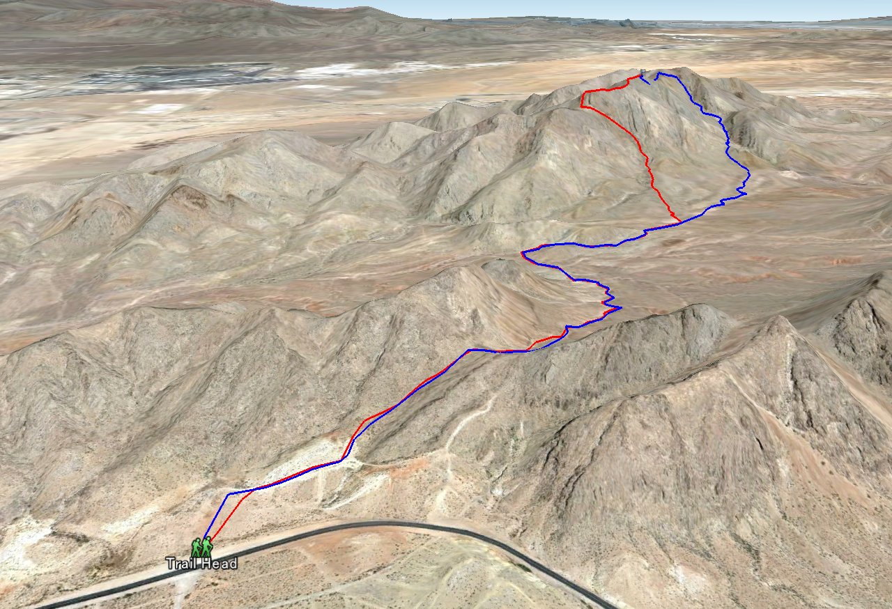
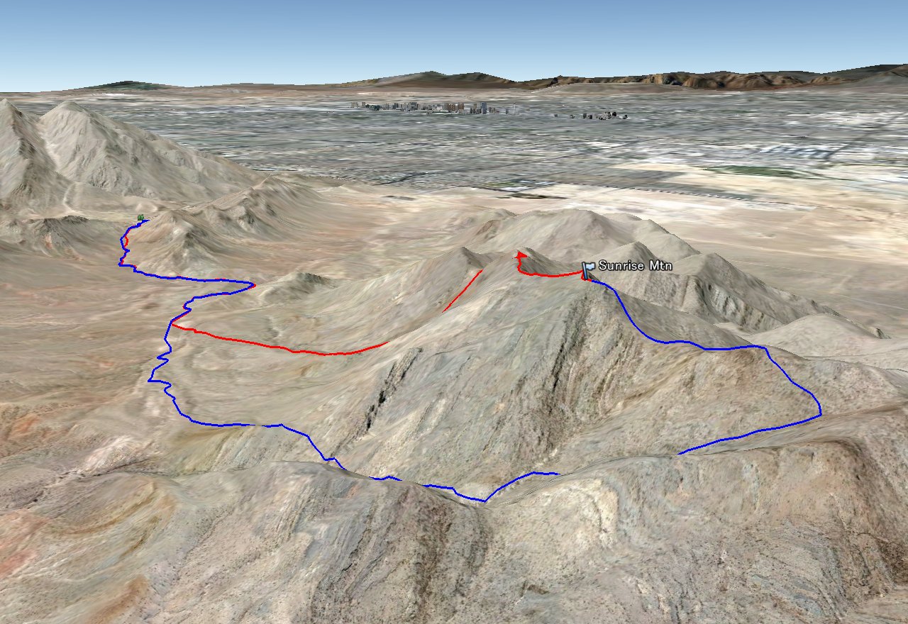
Entire 3D trail map
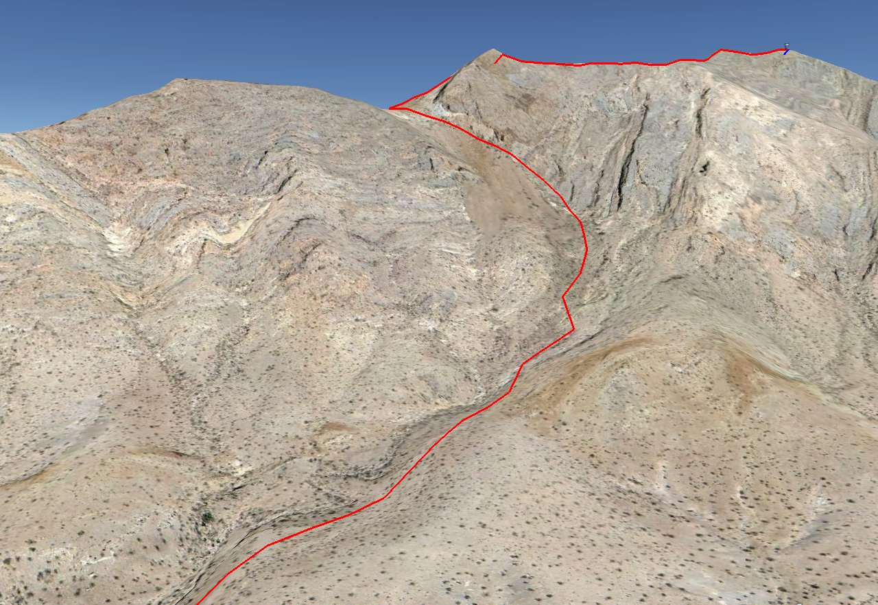
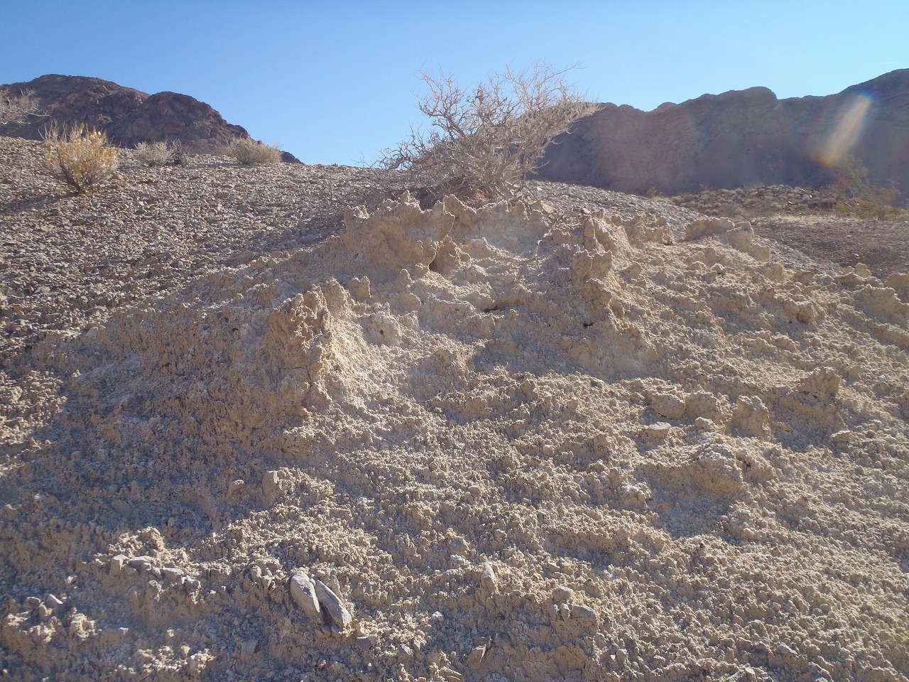
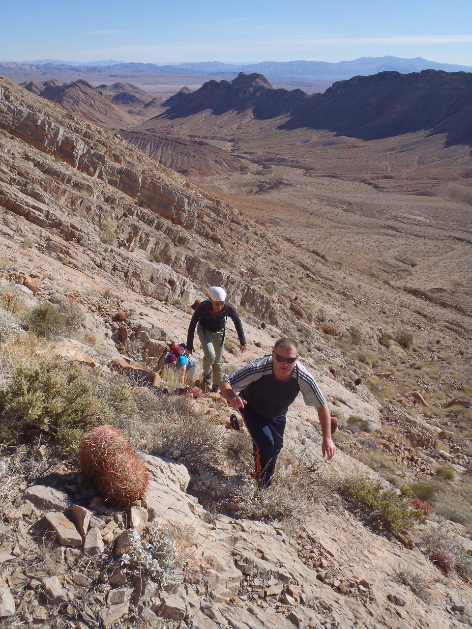
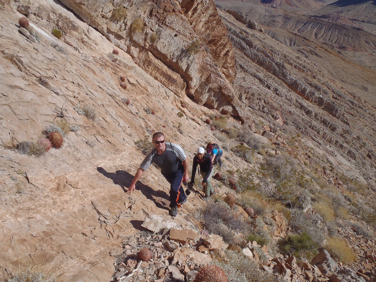
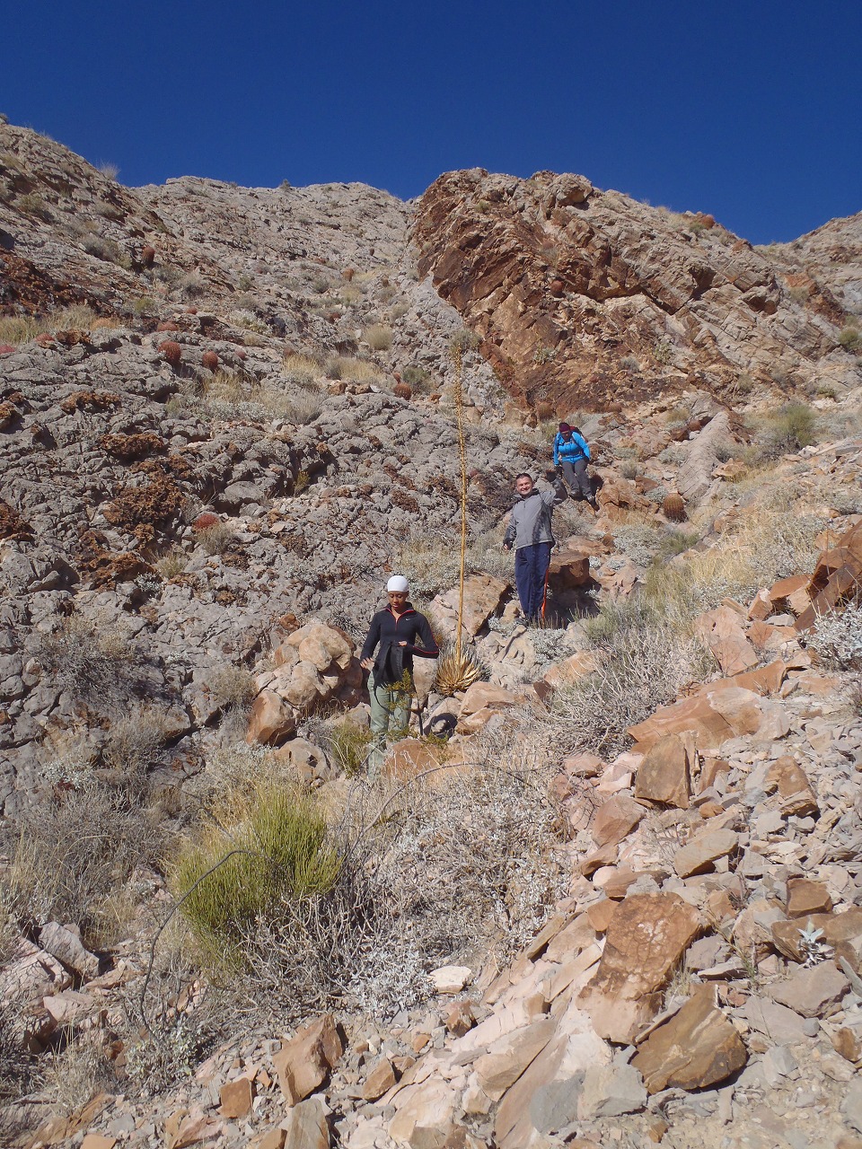
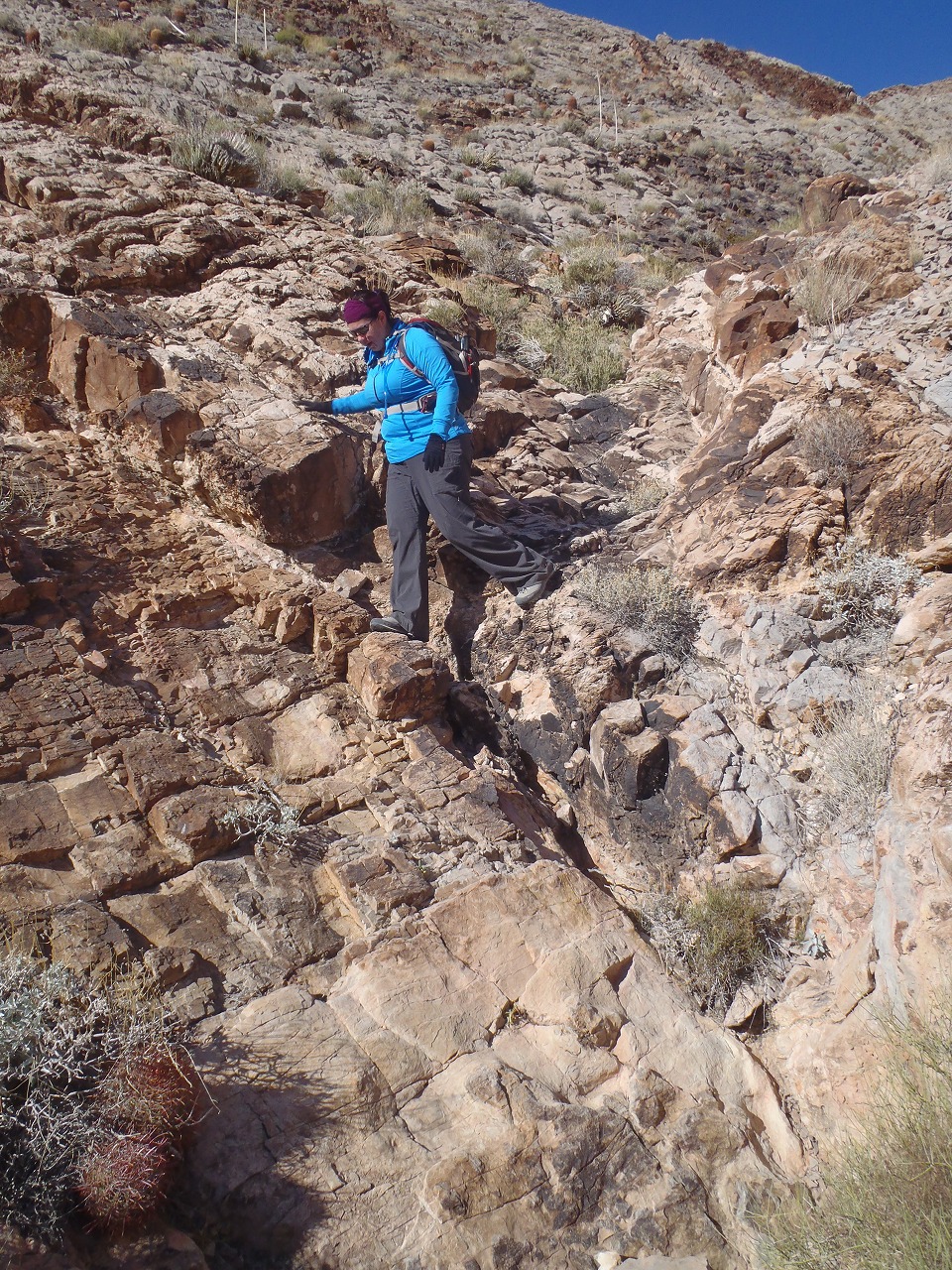
steep scree slope
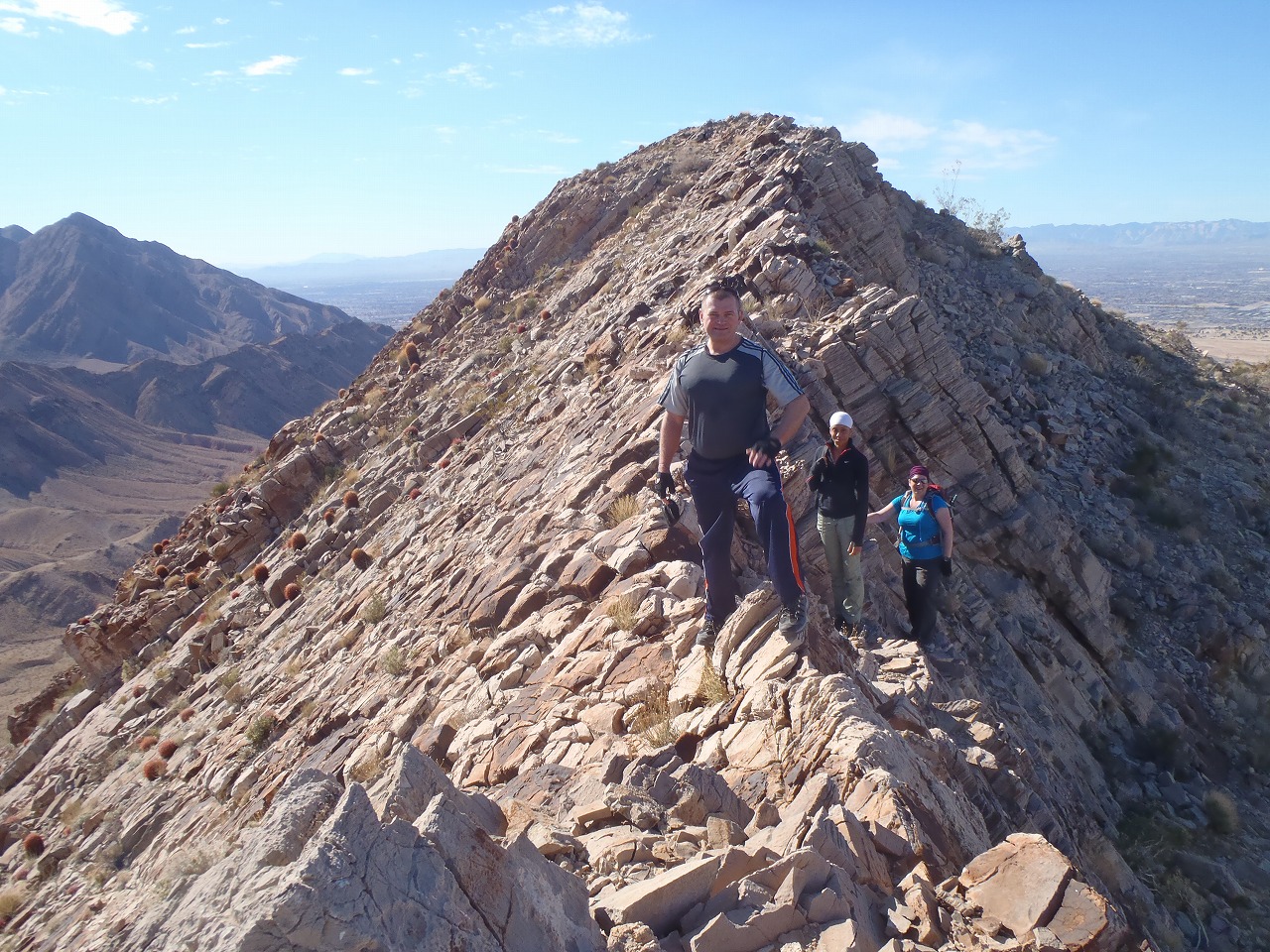
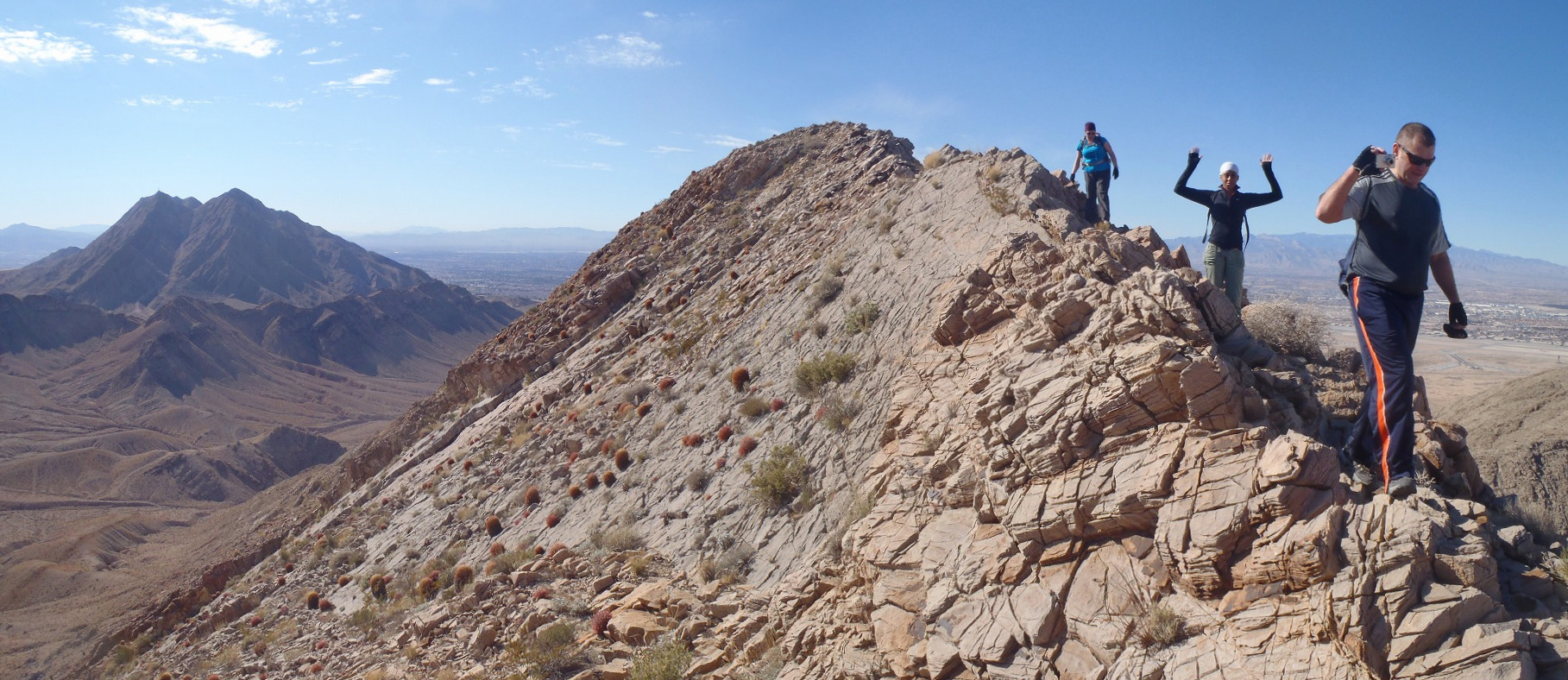
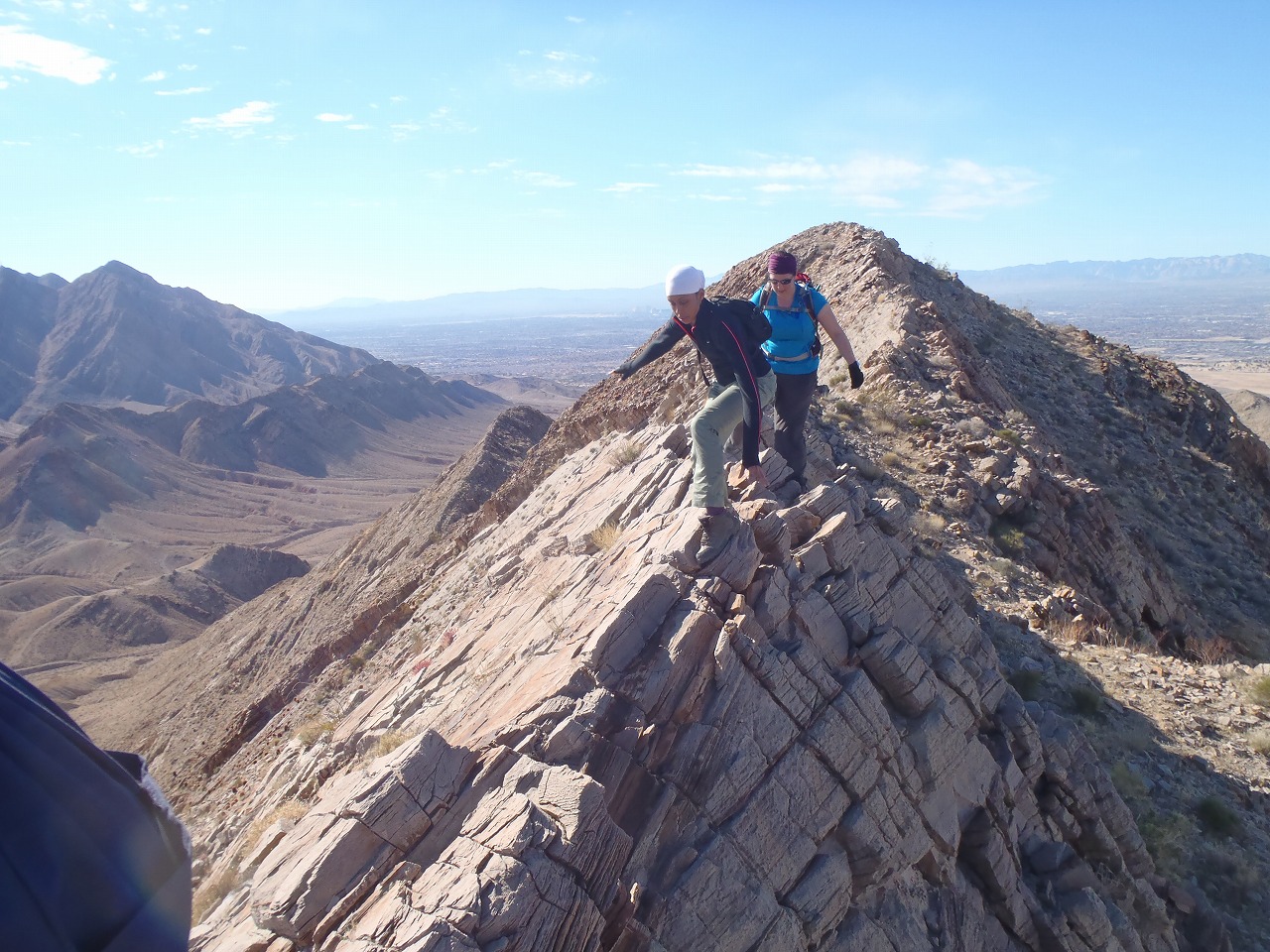
ridge to the peak
Descent Route
Elevation Chart
Google Map
Google Earth
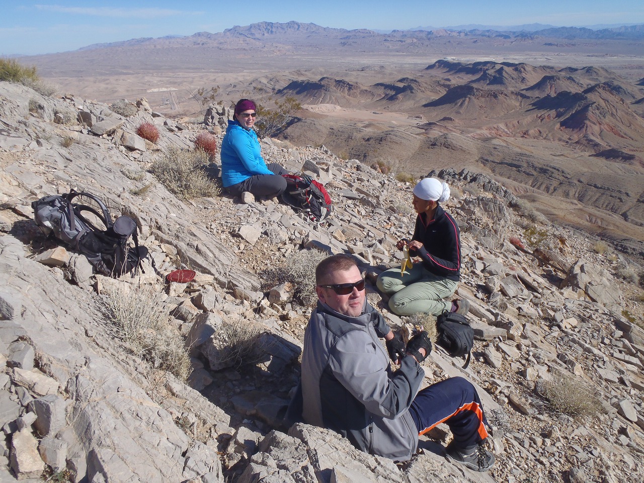
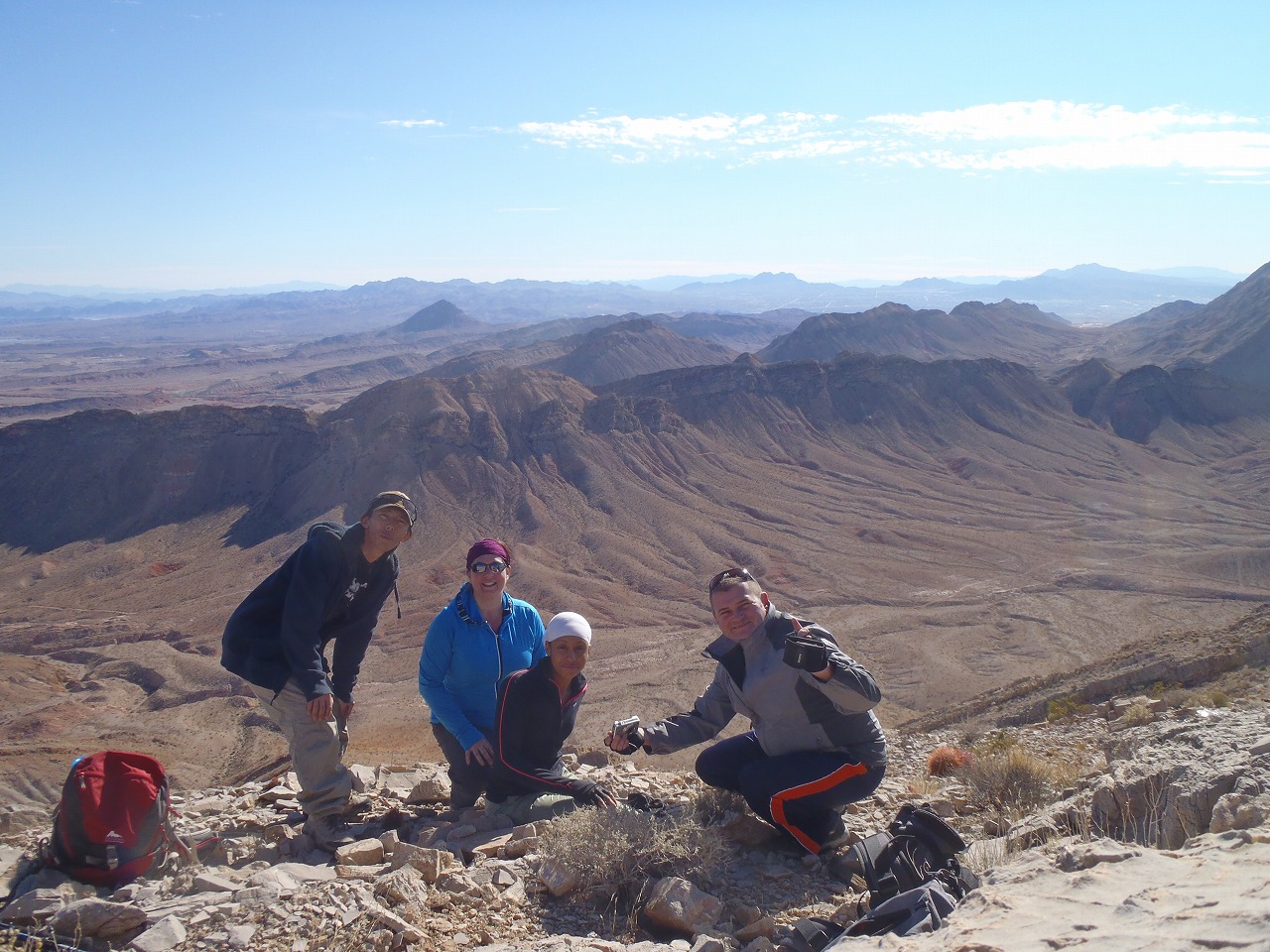
Hike Status :
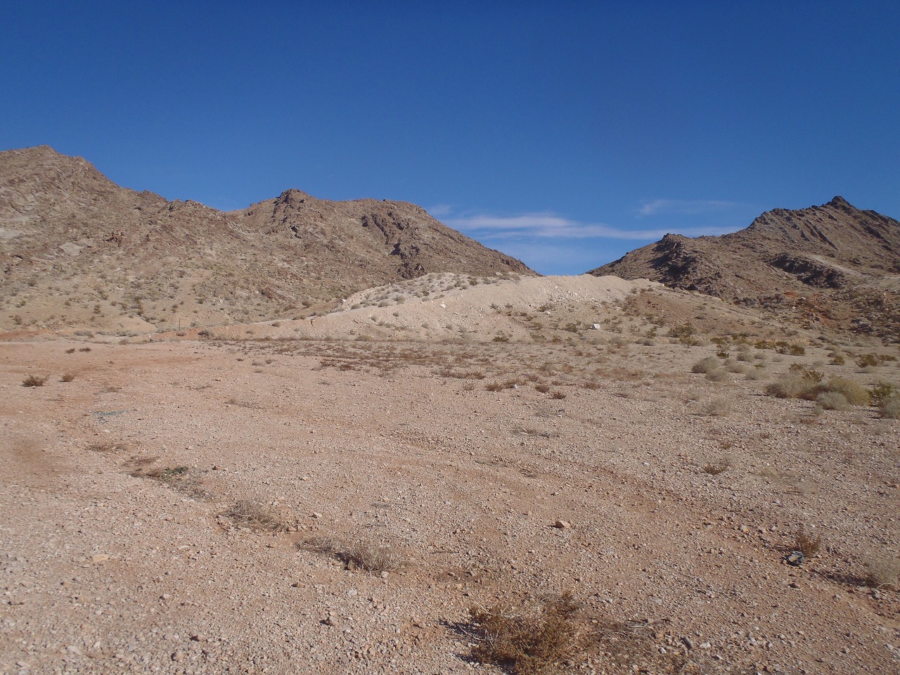
Trailhead
: East Lake Mead Blvd. (across the Frenchman Trailhead)
Distance
: 5.5 mile
Elevation Peak
: 3,364 ft (Sunrise Mtn. Peak)
Total Elevation Gain
: 2,000 ft
Class
: 2 (plus couple of 3)
Showing 1-14 of 14 pictures