
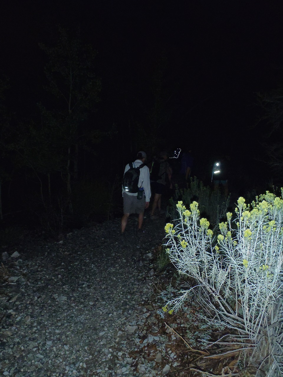
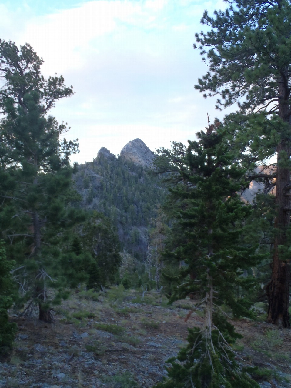
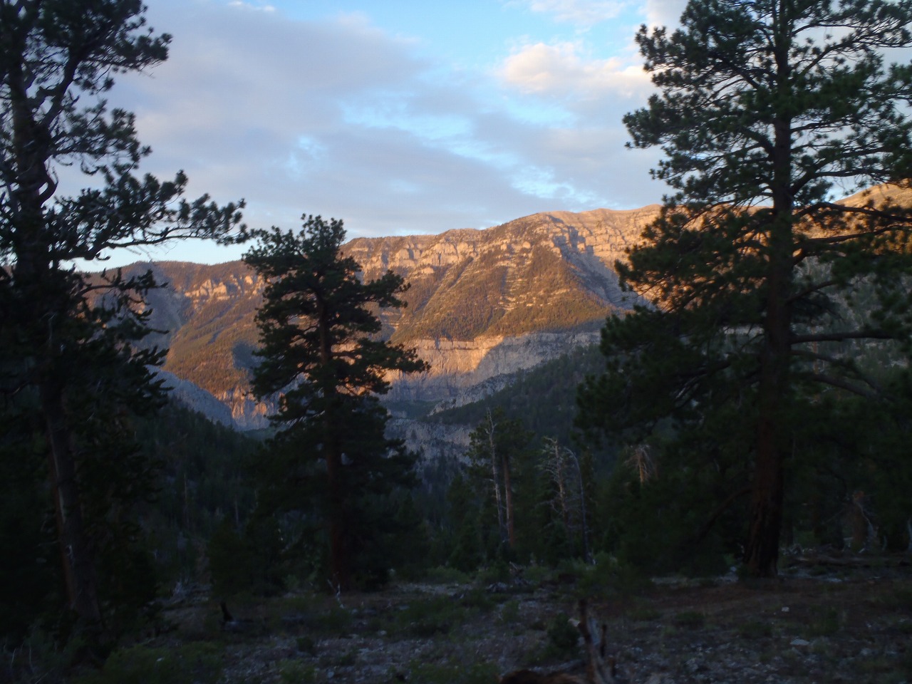
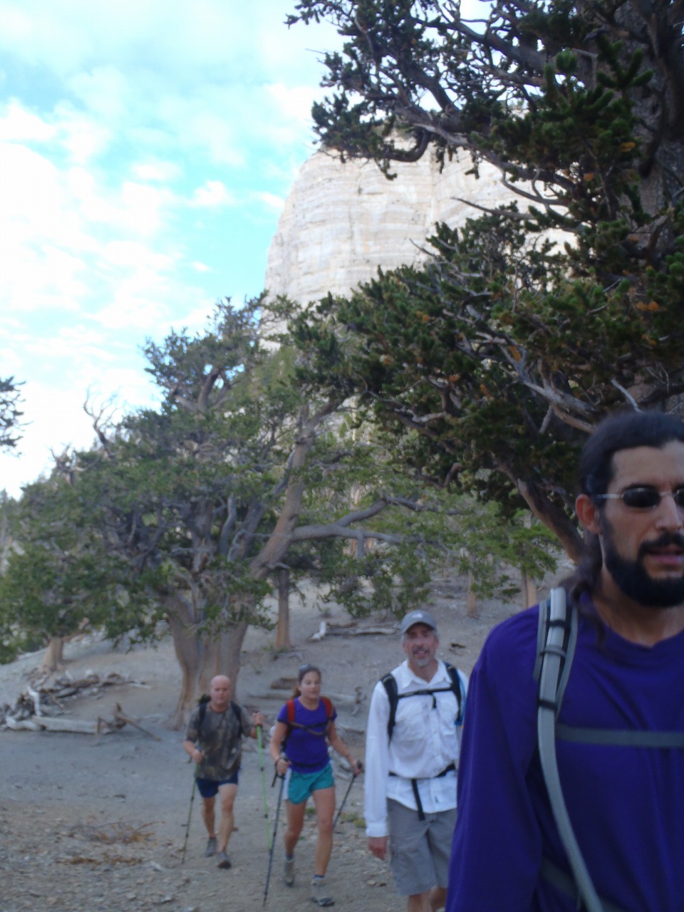
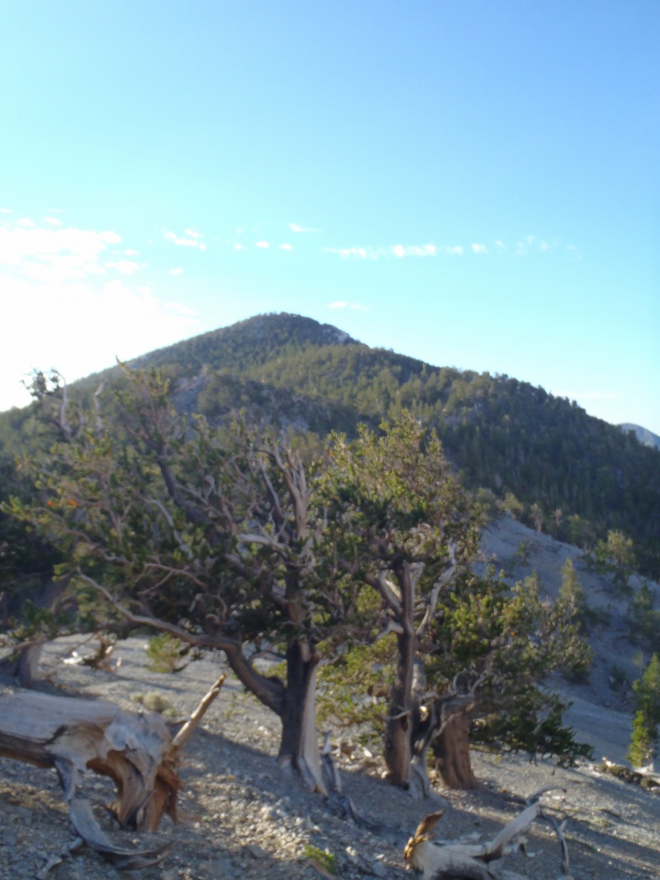
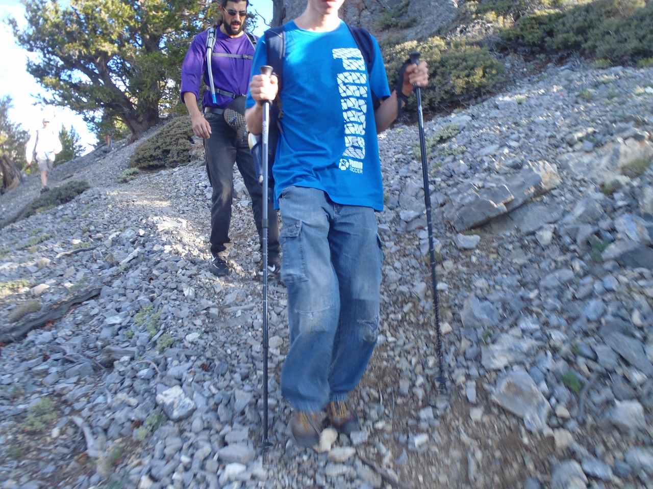
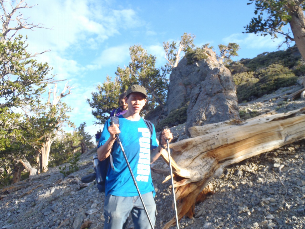
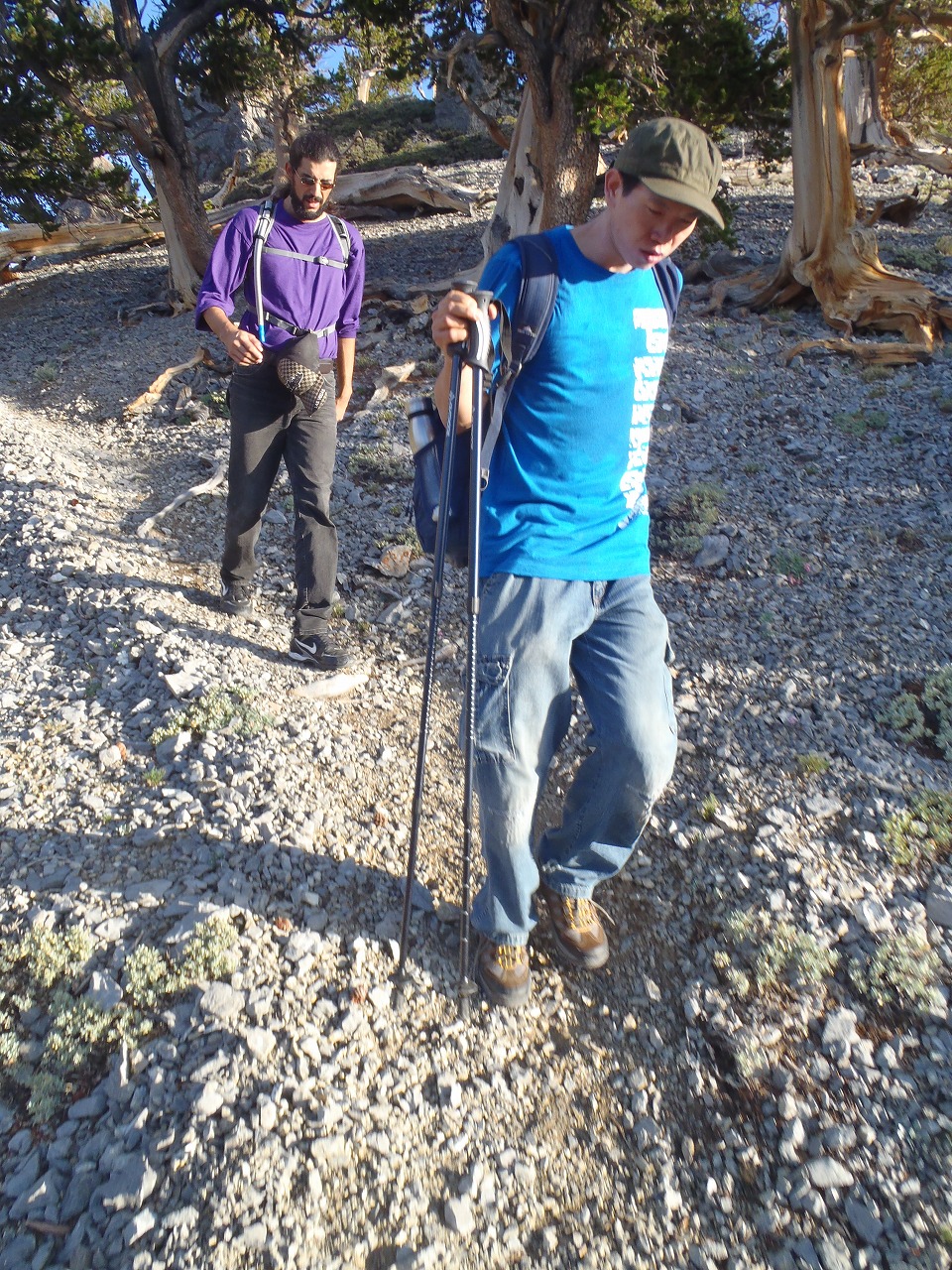
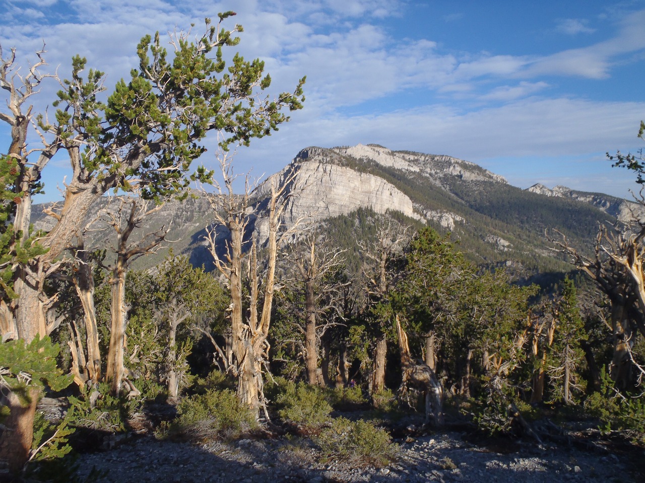
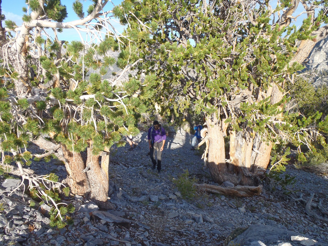
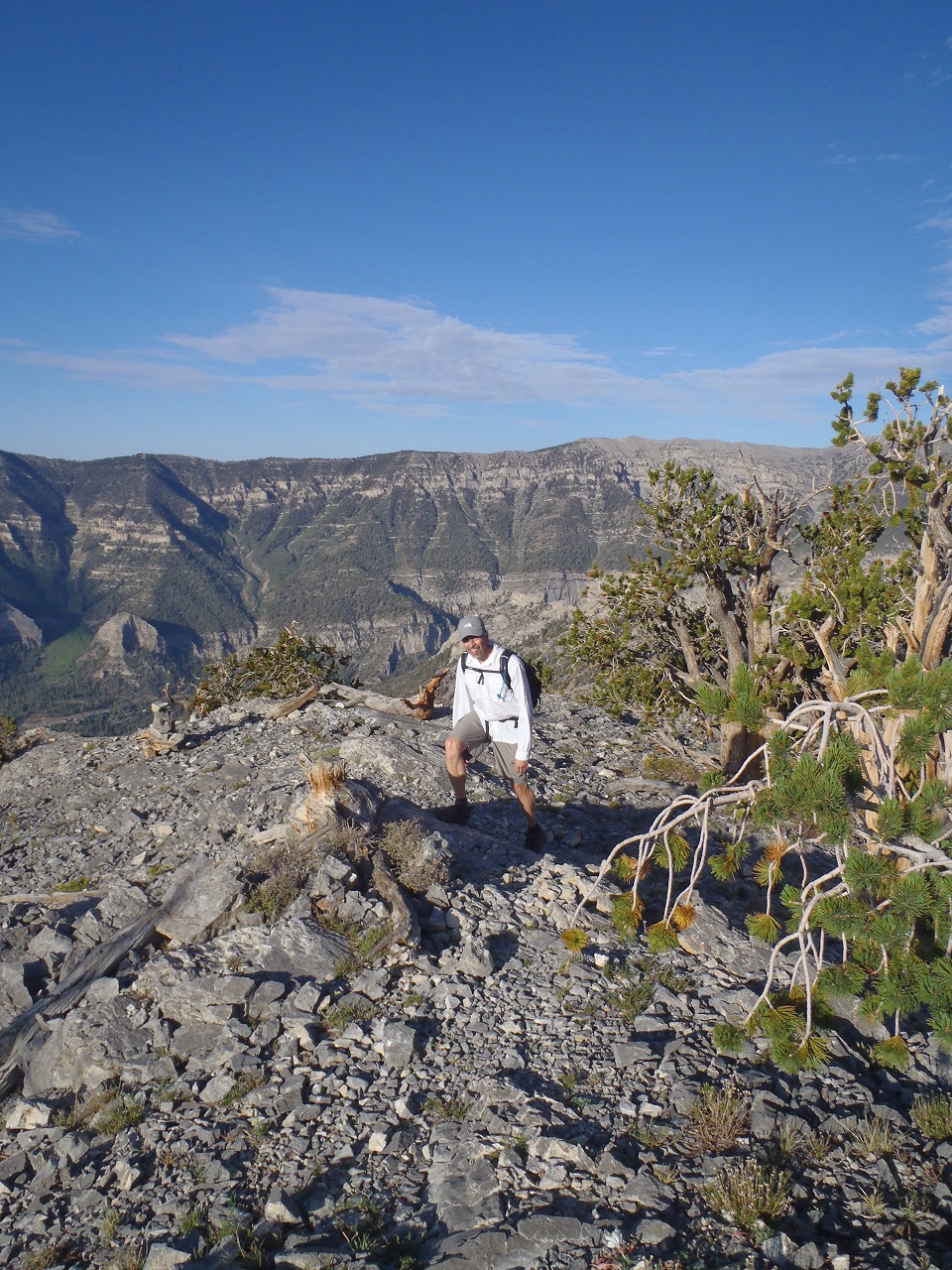
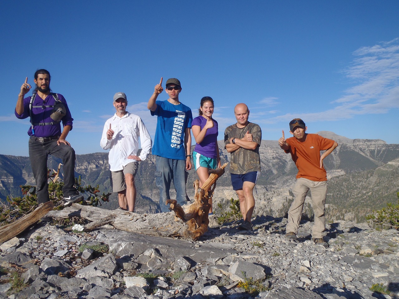
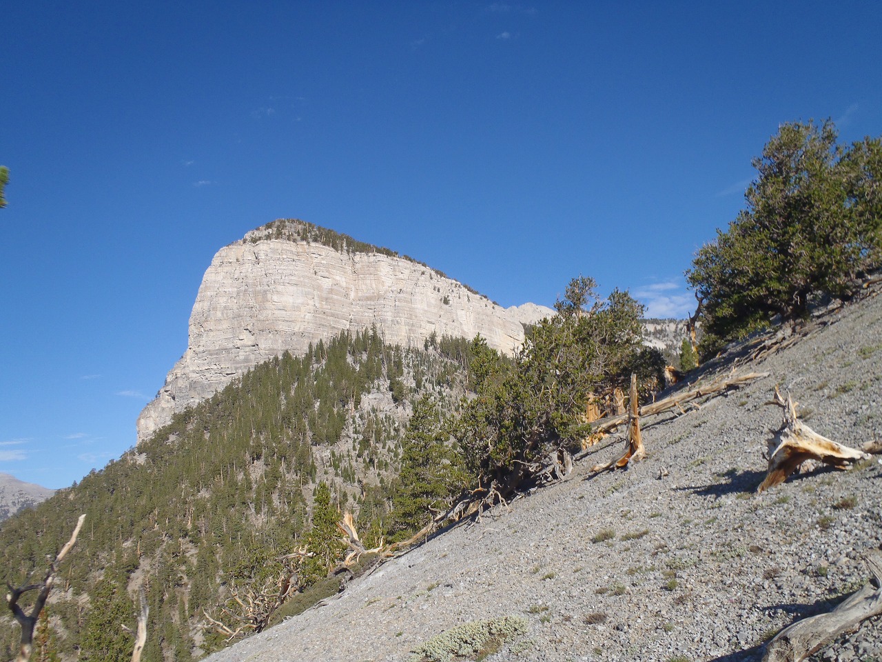
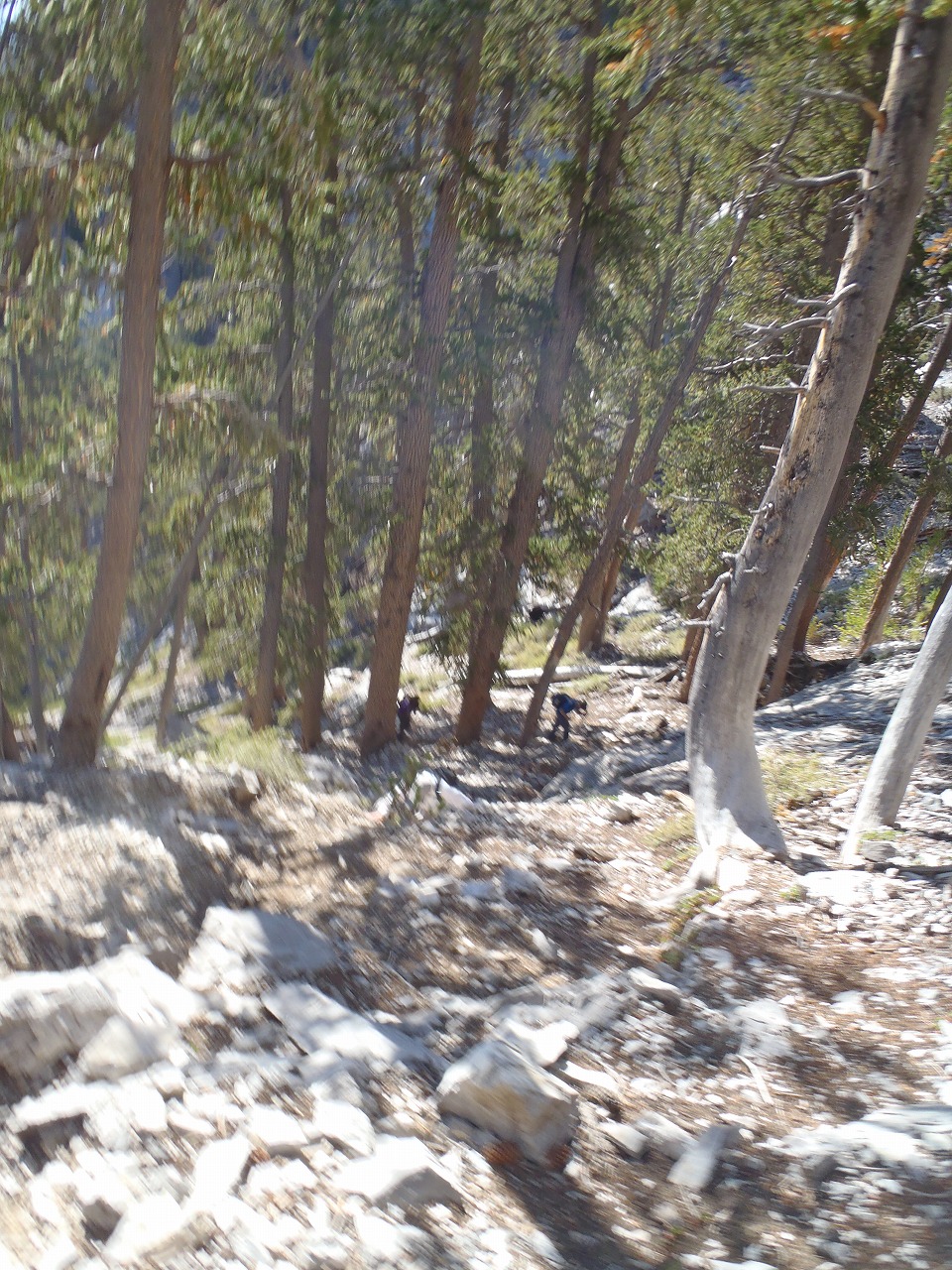
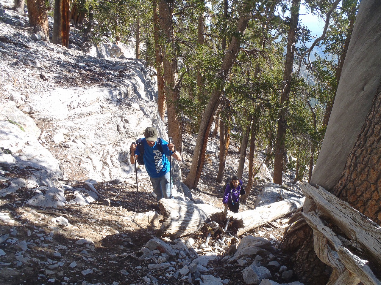
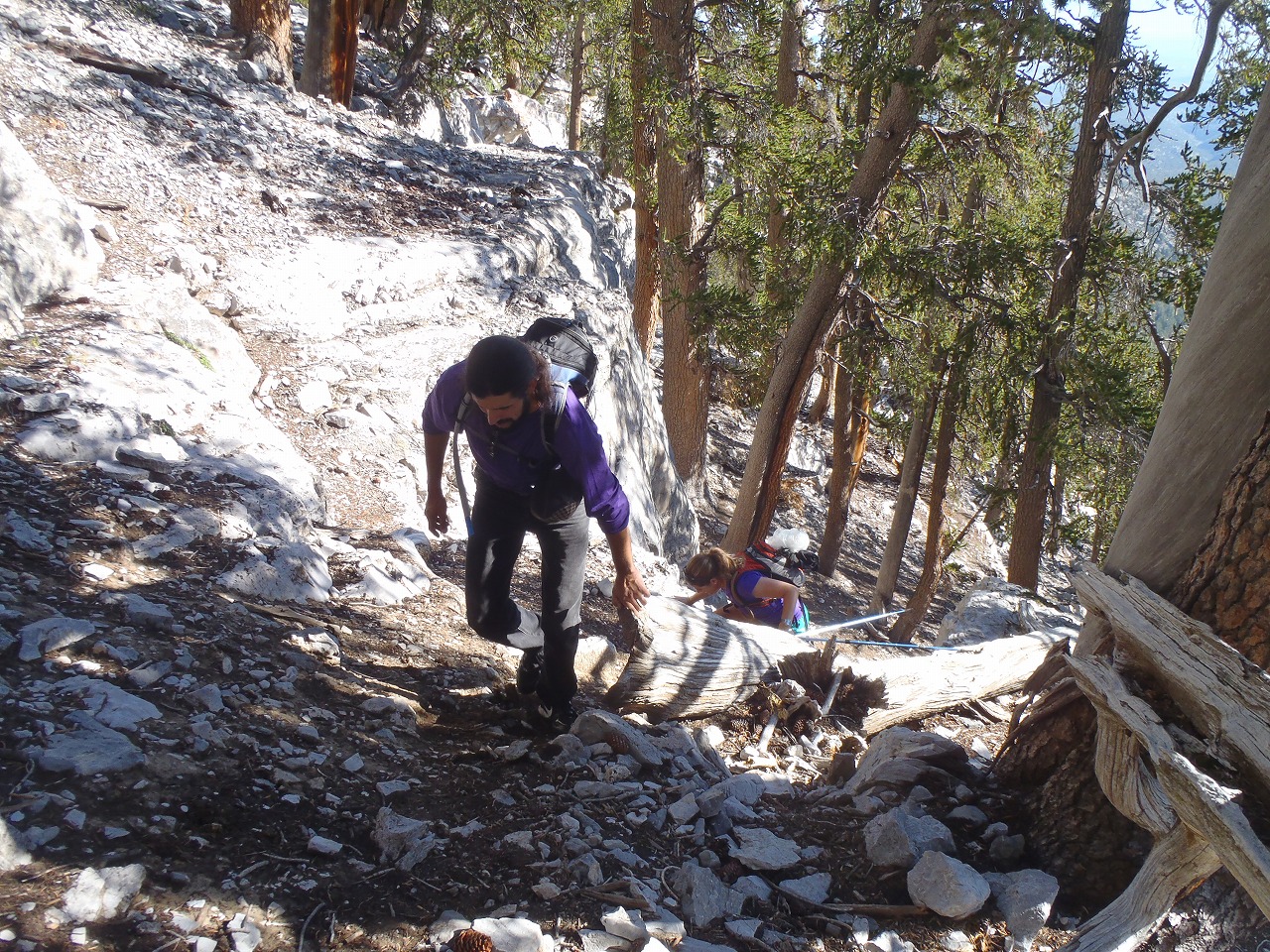
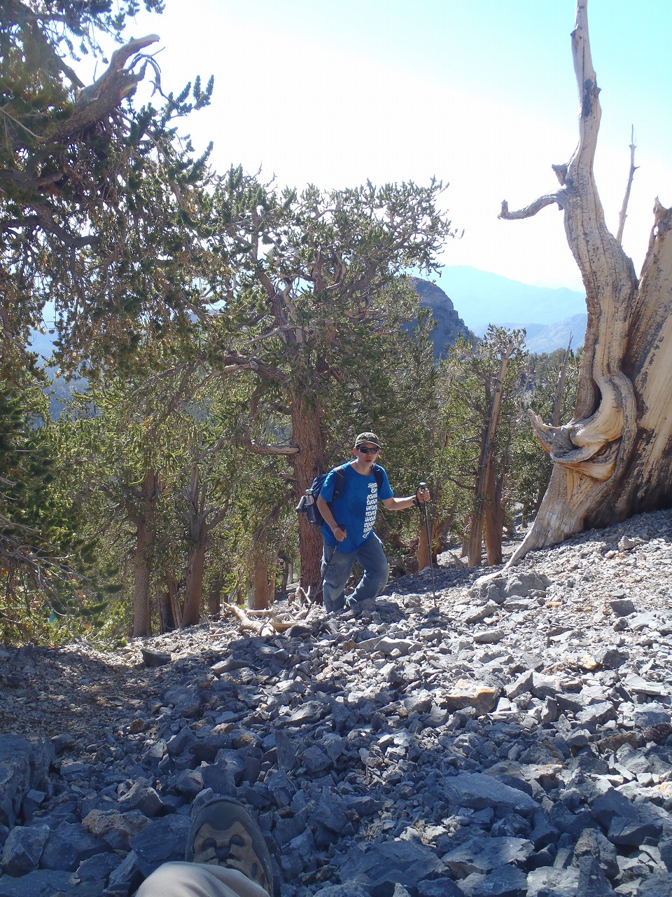
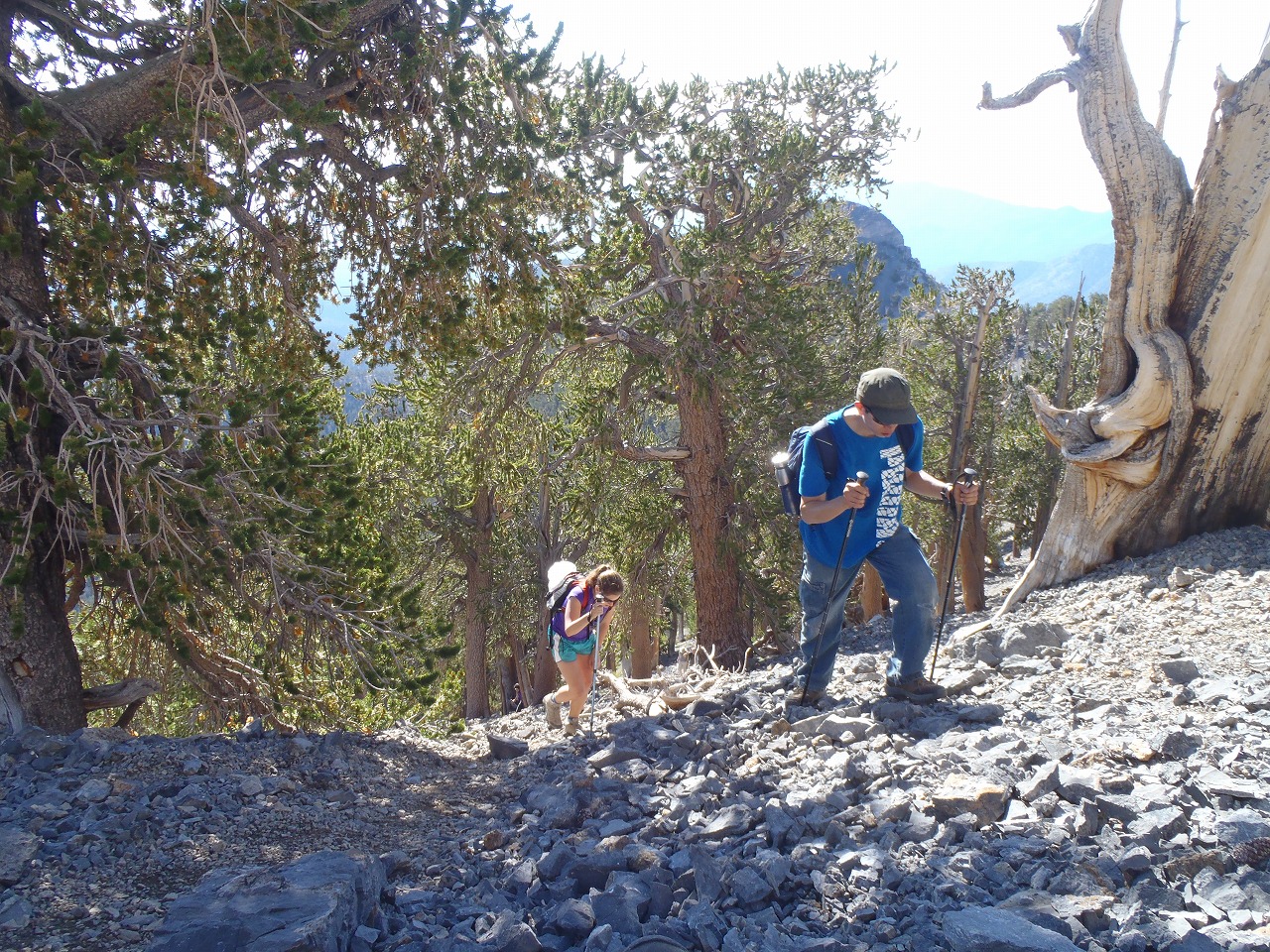
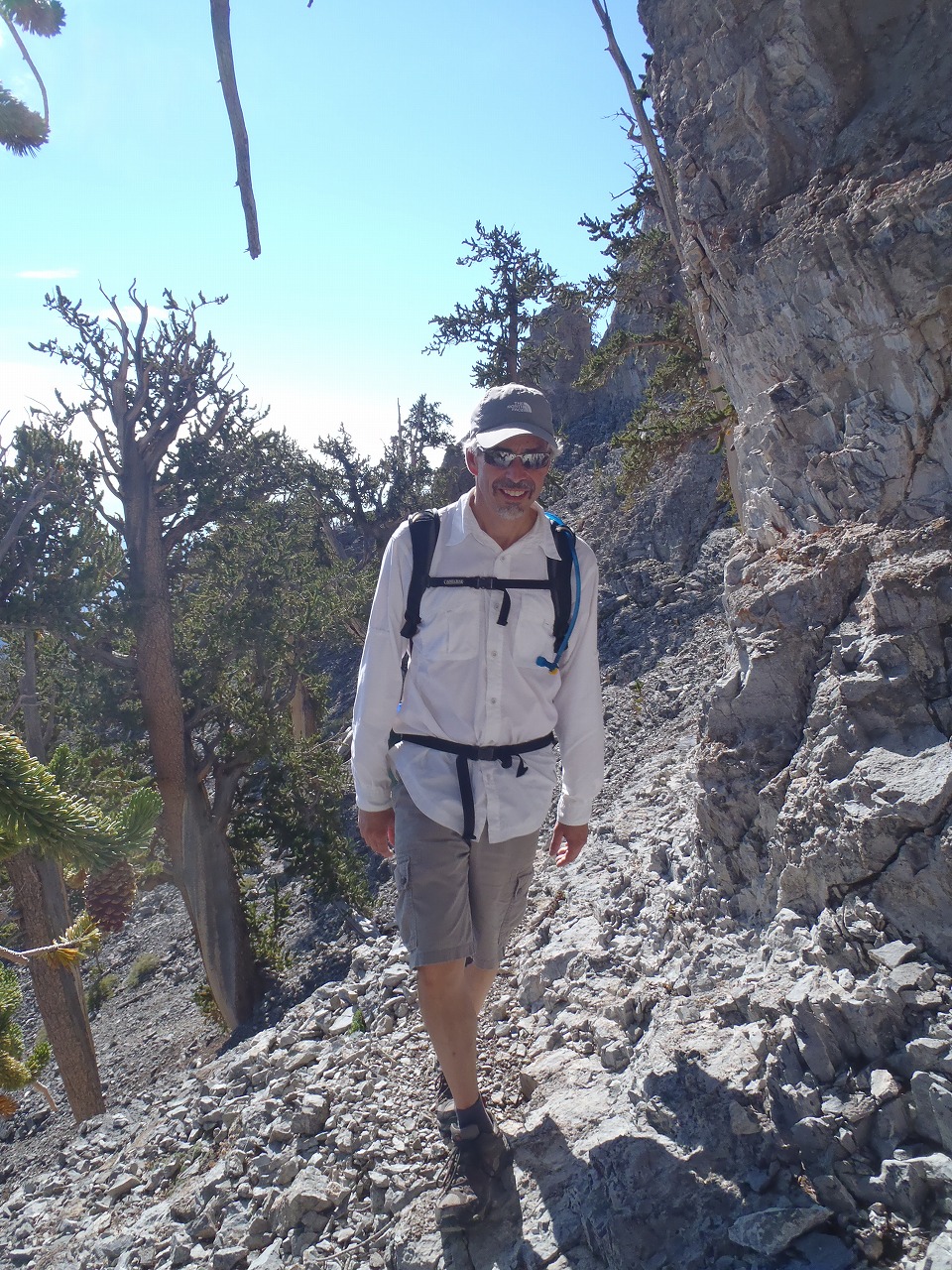
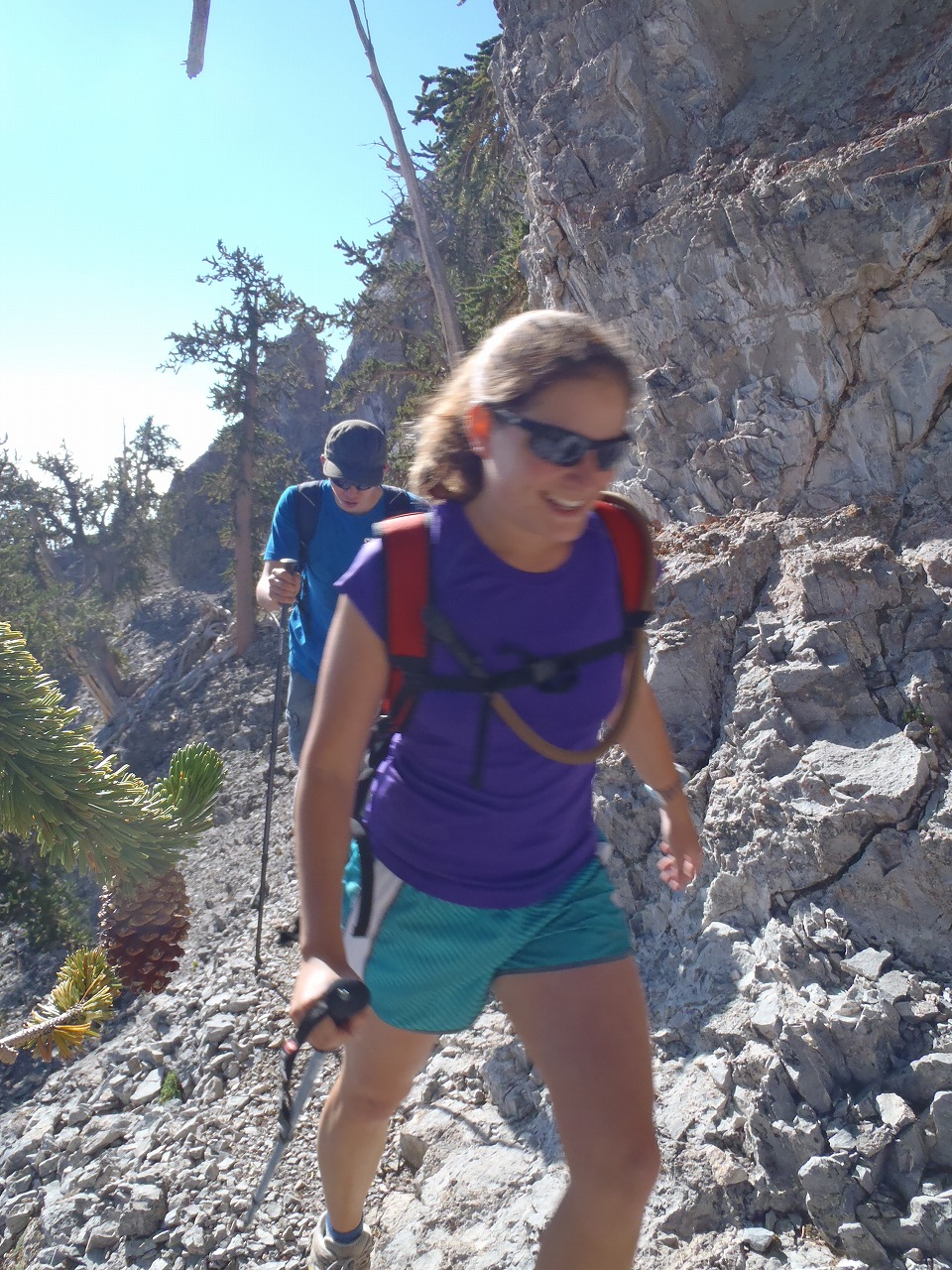
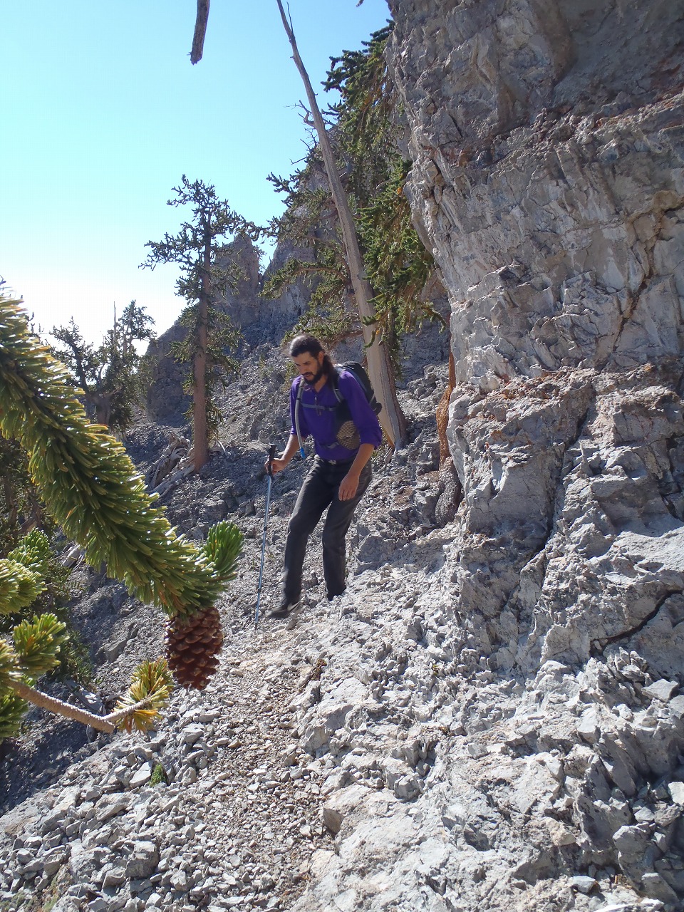
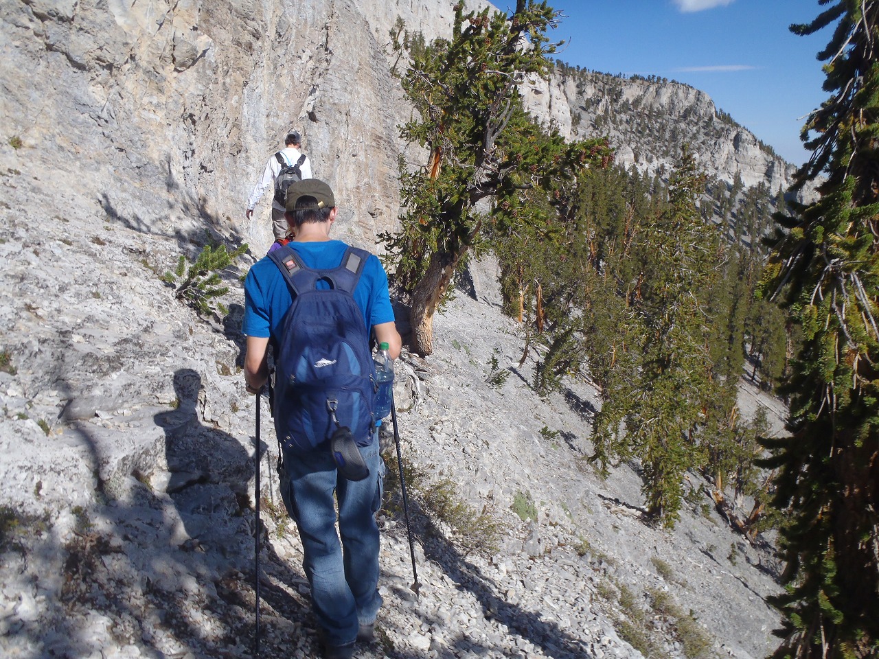
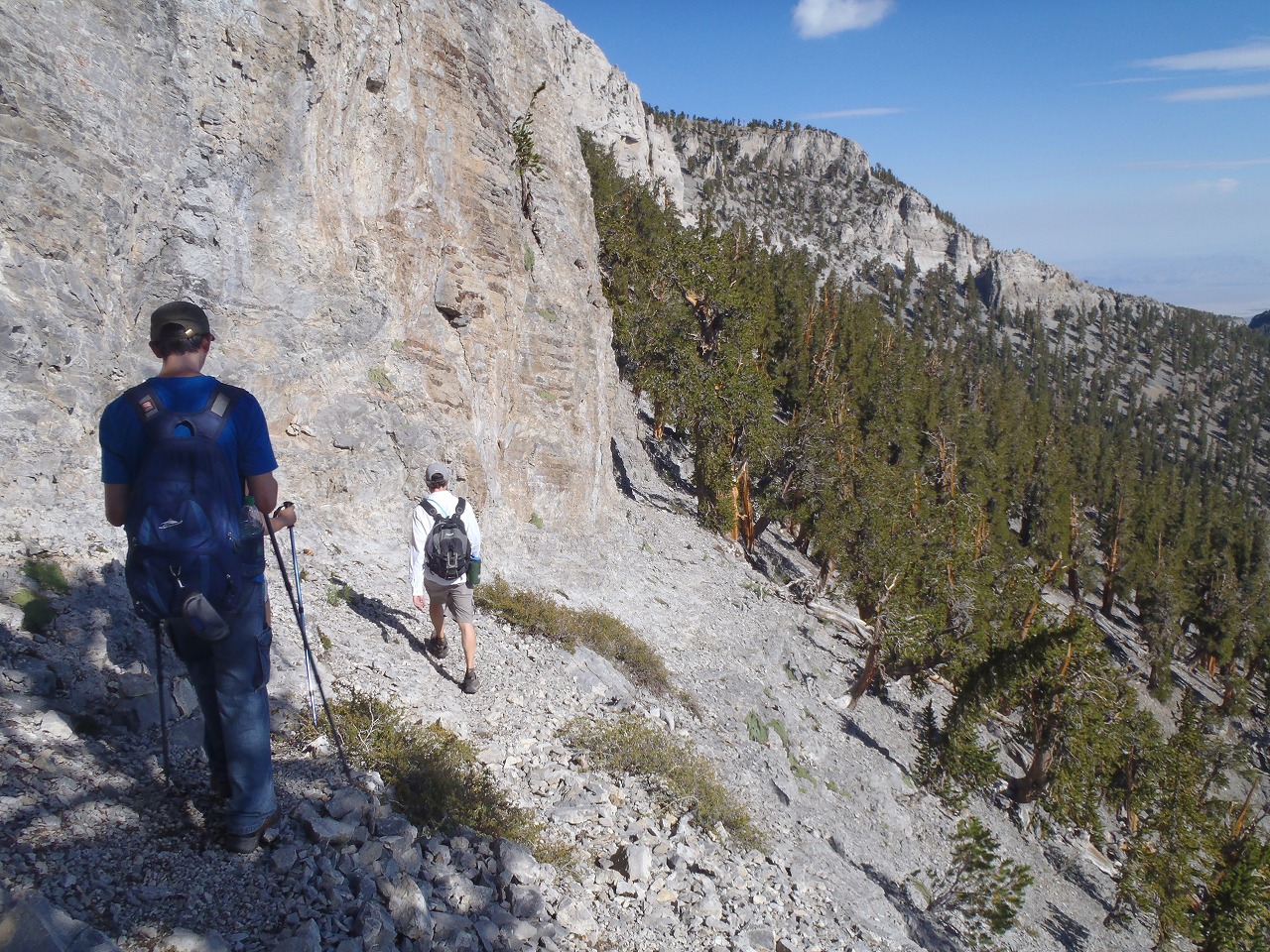
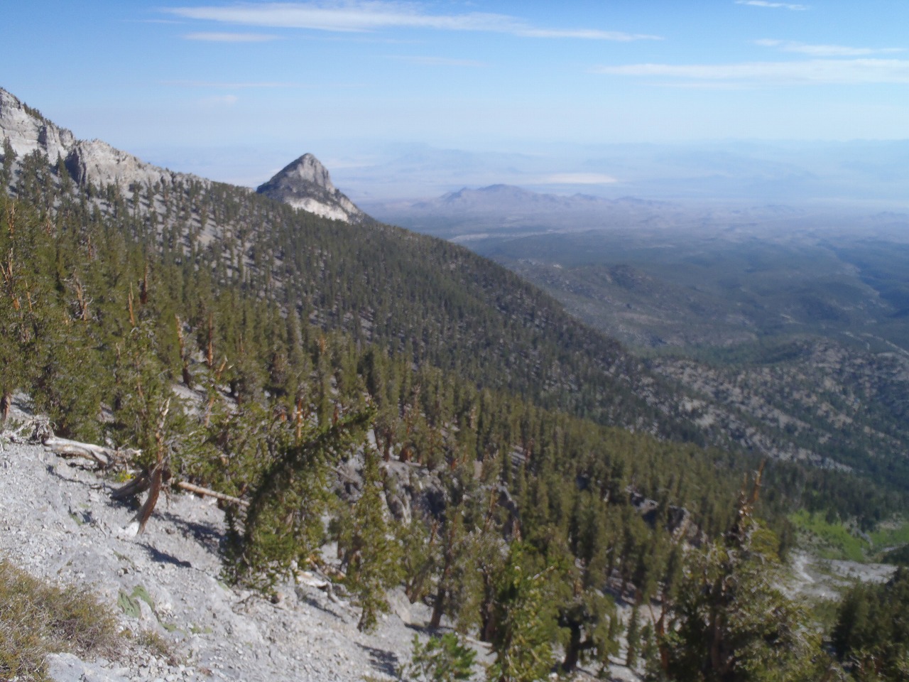
| This was my 3rd "5 peaks in 1 day" hike. 6 hikers bagged all 5 peaks around the Mt.Charleston Ridge in 1 day. Total distance of 22 miles and 8,000 ft of elevation gain. Since we have to hike long distance and lots of elevation gain, we had to hike in the fast pace. We started hiking from Trail Canyon and bagged the Fletcher Peak in 2 hours. Then scrambled up the Mummy from North East face in another 2 hours. At this moment, we were way ahead of T-storm hitting the Mummy Mountain, thus we took 20 minutes break at the top. Then we followed the top of ridge line that connects to the Charleston Peak. Once the route intersept the Northloop trail we jumped on it and followed it. Then we reached the bottom of Devils Thumb in another 2 hours. 5 of us scramble up the Devils Thumb shortcut route. Hail started falling when we are scrambling at the top of Devils Thumb. We had to stop and wear the poncho at that time. It took us about 1 hour to get to the peak and late for 20 minutes from the hiker who took the trail. The weather didn't look good and it was kind chilly, so we didn't waste the time at Charleston Peak. Then we headed down to the Griffith Peak via Southloop trail. The rain fell on us several times before we hit the Griffith Peak in next 2 hours. It even rained on us at the Griffth Peak. It was little bit windy and cold up there. We headed down to the Harris Peak that is our final peak. Fortunately, rain stopped falling at the time and we could see beautiful rainbow. The route up to the top of Harris was brushy and crappy as usual. I had to follow the previous hike track in my GPS to avoid the bush. We made the top of Harris in 2 hours from Griffith Peak. Many of them were tired but could smile at the moment. After we signed up the last register, we headed down the Rainbow Canyon. And came back to the car in less than 1.5 hours. |
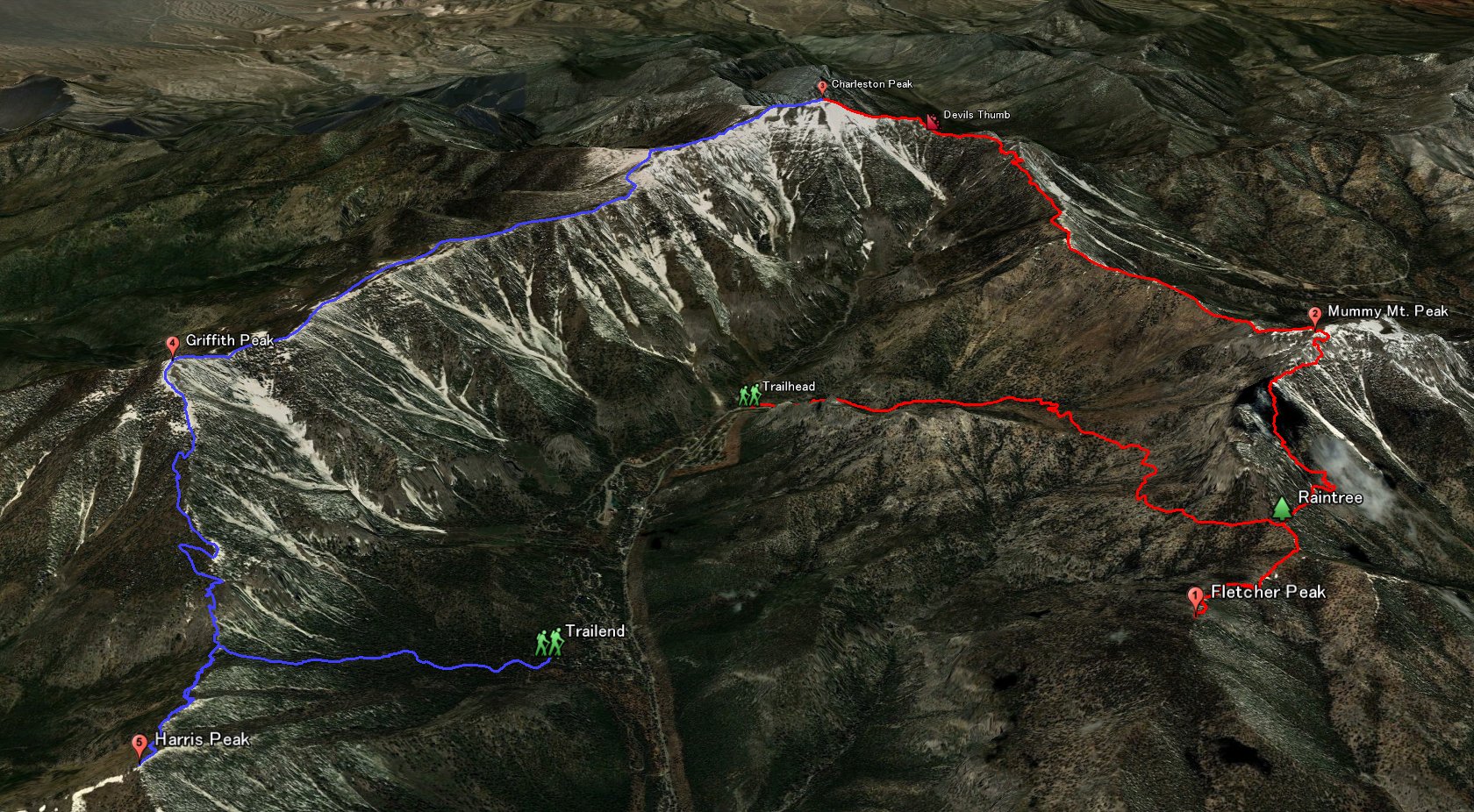 Entire 3D trail map |
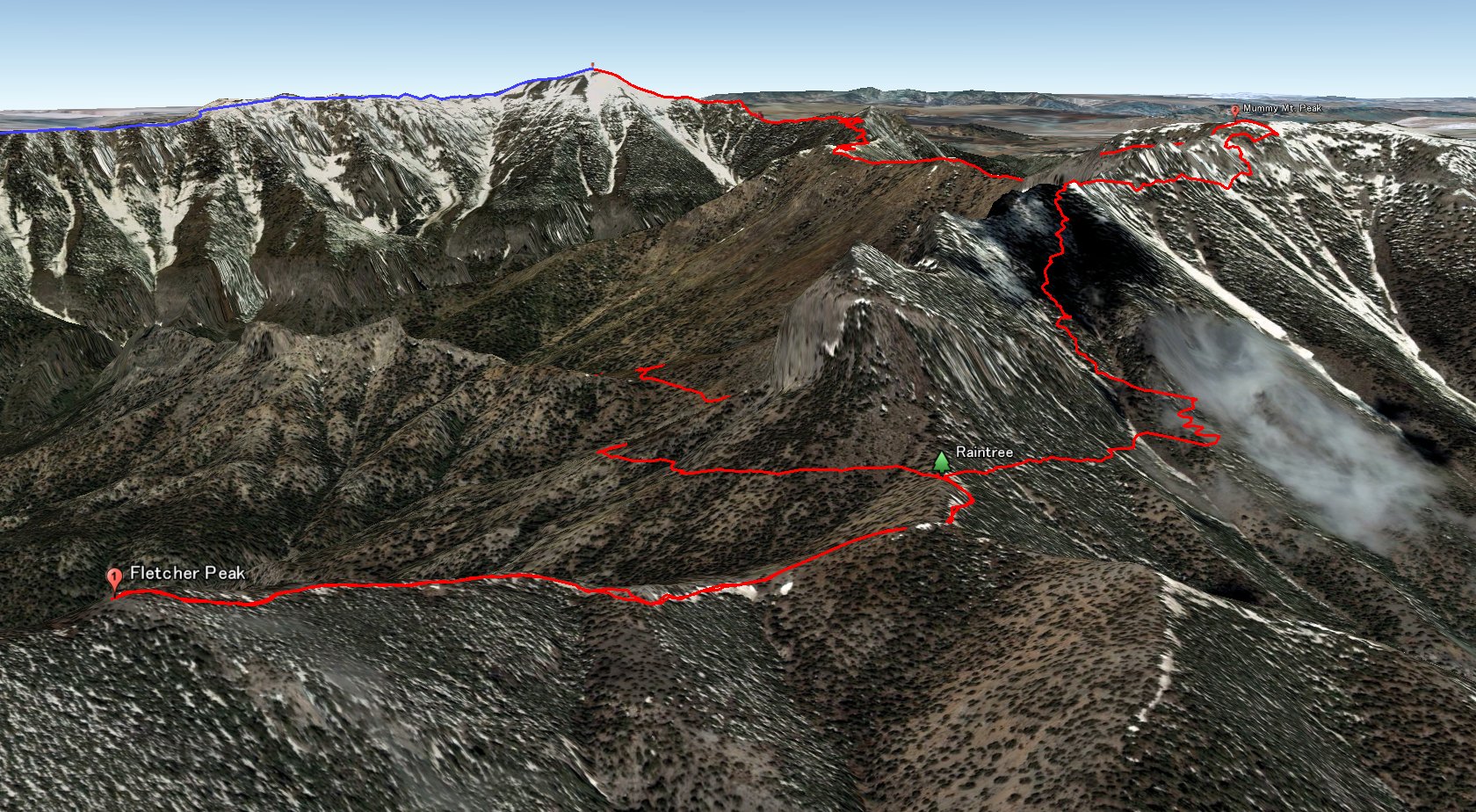 Fletcher and Mummy |
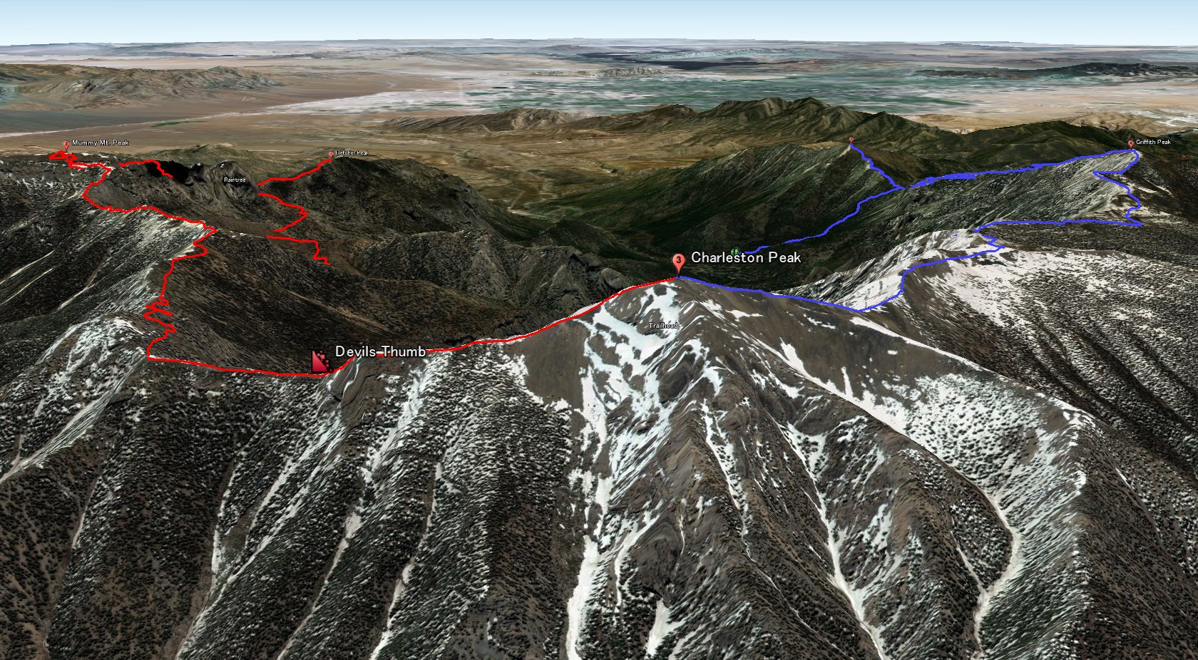 Charleston peak |
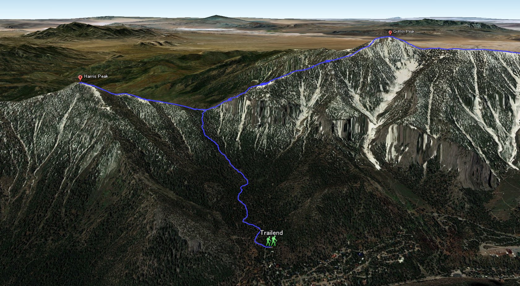 Griffith and Harris |
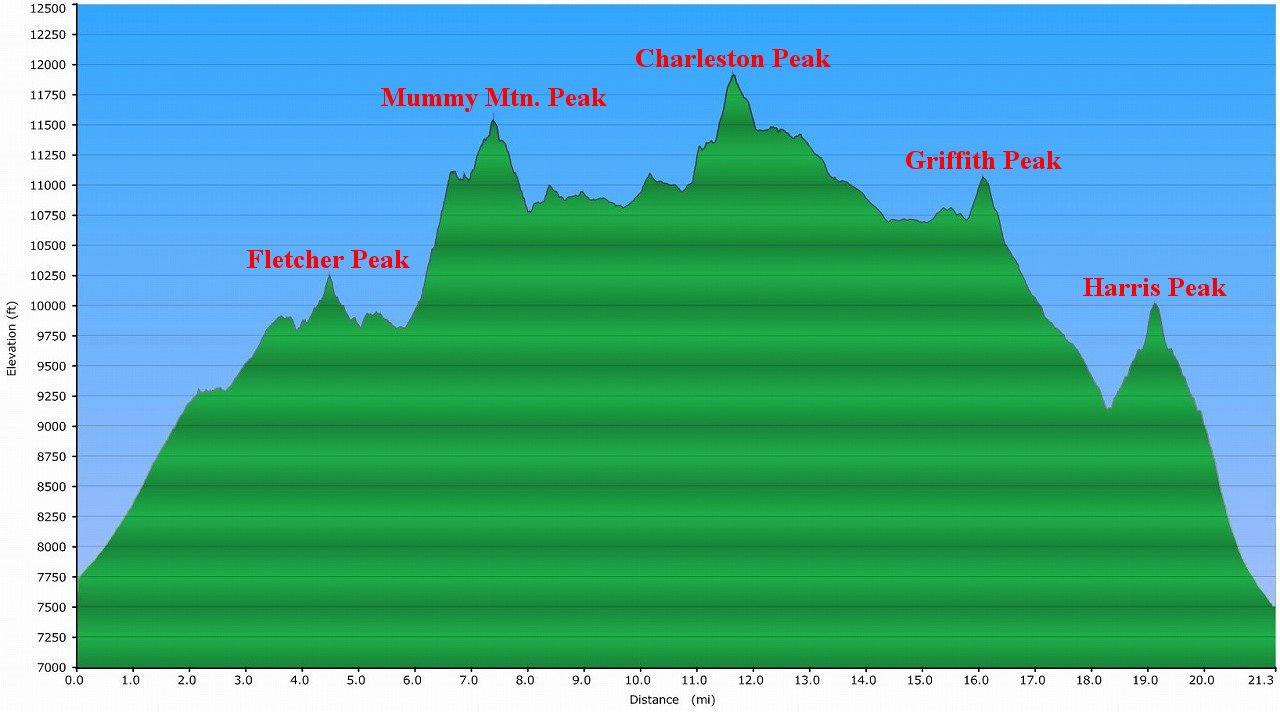 Elevation Chart |
 Google Map |
 Google Earth |
|
| ||||||||||||||
|
| Showing 1-24 of 69 pictures | Next --> |
|
|
|
|
|
|
|
|
|
|
|
|
|
|
|
|
|
|
|
|
|
|
|
|
 |
 |