
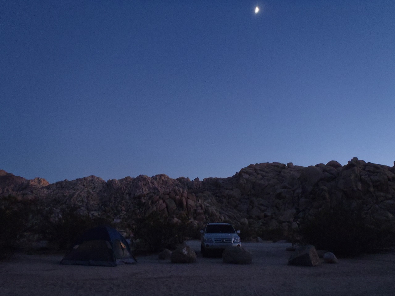
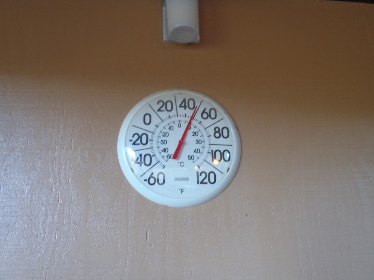
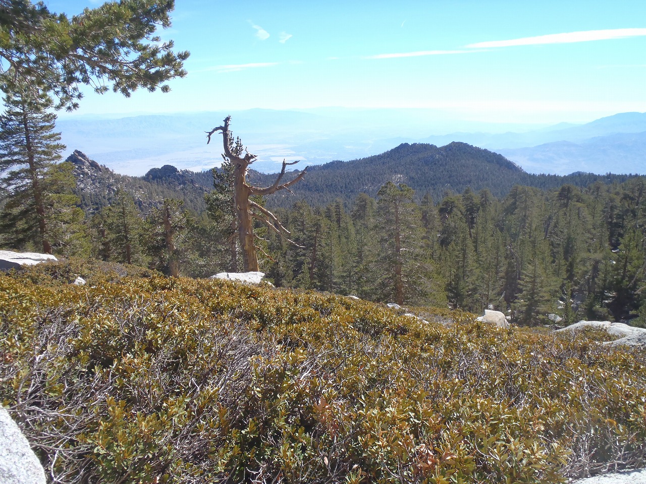
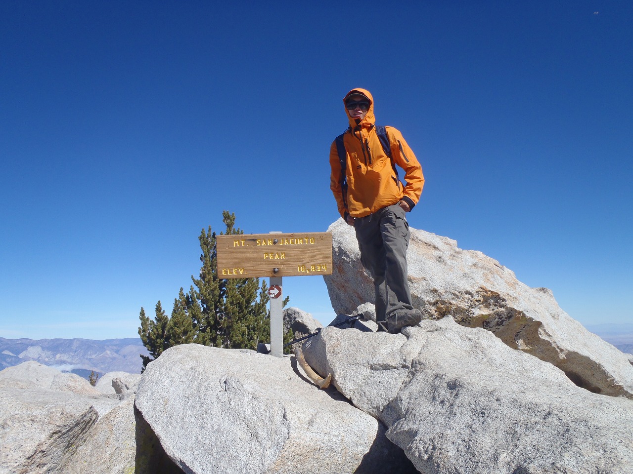
| This was my 3rd challange of C2C hike. This time, I hiked with Rico who hiked 5 peaks hike with me. On Sunday, we drove down to the Indian Cove campground at Twenty Nine Palms. We tried to sleep as much as possible the night before, because we start hiking very early in the morning. At night, we could see Orionid meteor shower On Monday Morning, we woke up 12:30AM and left the campground at 1AM. Then we drove down to the trailhead. We started hiking at 2:30AM from the end of Ramon Road. The temperature was little bit warm, but cooler than last year. We kept hiking in the middle pace, because I wanted to save the energy as much as possible. This is a long day hike. We didn't make many stops, just kept steady pace. We made it to the upper tram station in 6 hours. From there, I didn't take the official trail that is 5.5 miles to the peak. Instead, I took backpackers/mountaineers trail that is only 3.5 miles to the peak. Then we made it to the Peak in 8 hours 15 minutes. We were the first hikers of the day. The view from the peak was nice. The South side of the valley was covered with clouds. It was little bit windy and chilly at the peak. I took about 30 minutes of nap at the peak. We stopped by the cabin/shelter near the peak on the way down. The register book was already full month ago, thus I left a new book. On the way down, I found much better route than the route I took on the way up. We lost the trail at the middle of camp ground, and did cross country back to the route we took on the way up. But, it was not an issue. In 2 hours, we made it back to the tram station. At this moment, we still had enough energy to hike all the way down. But, since we had to work on the next day and we had to drive back on the same evening, we decided to take the tram down. Yet, it took us another 1 hour to get back to our car. |
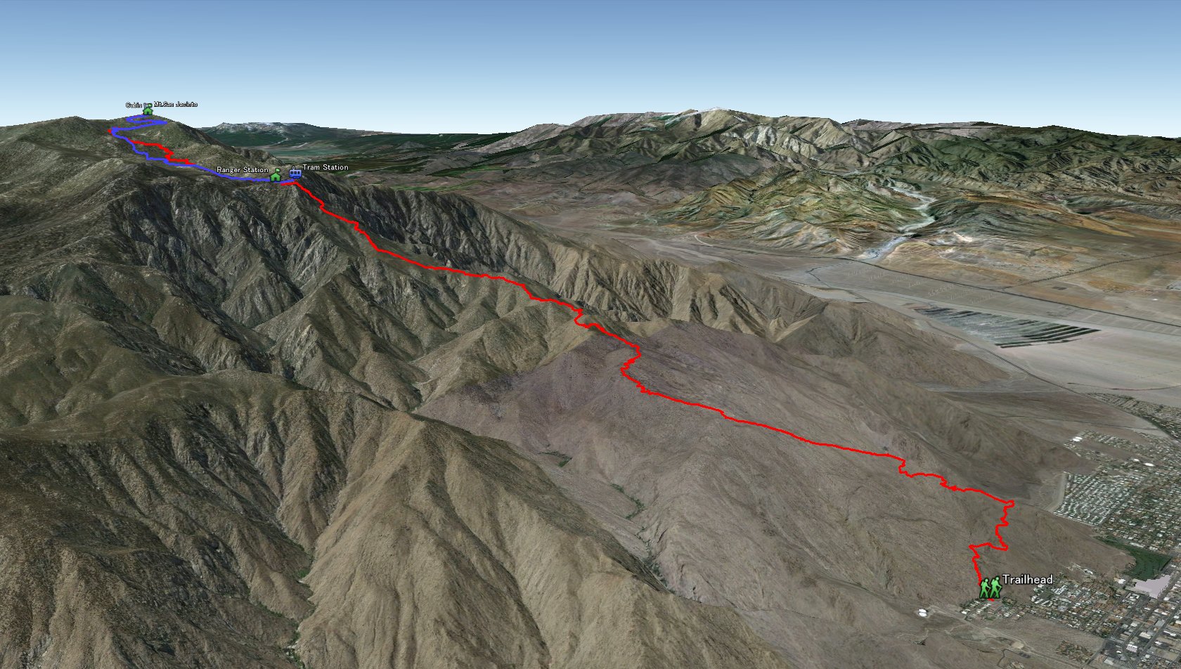 Entire 3D trail map |
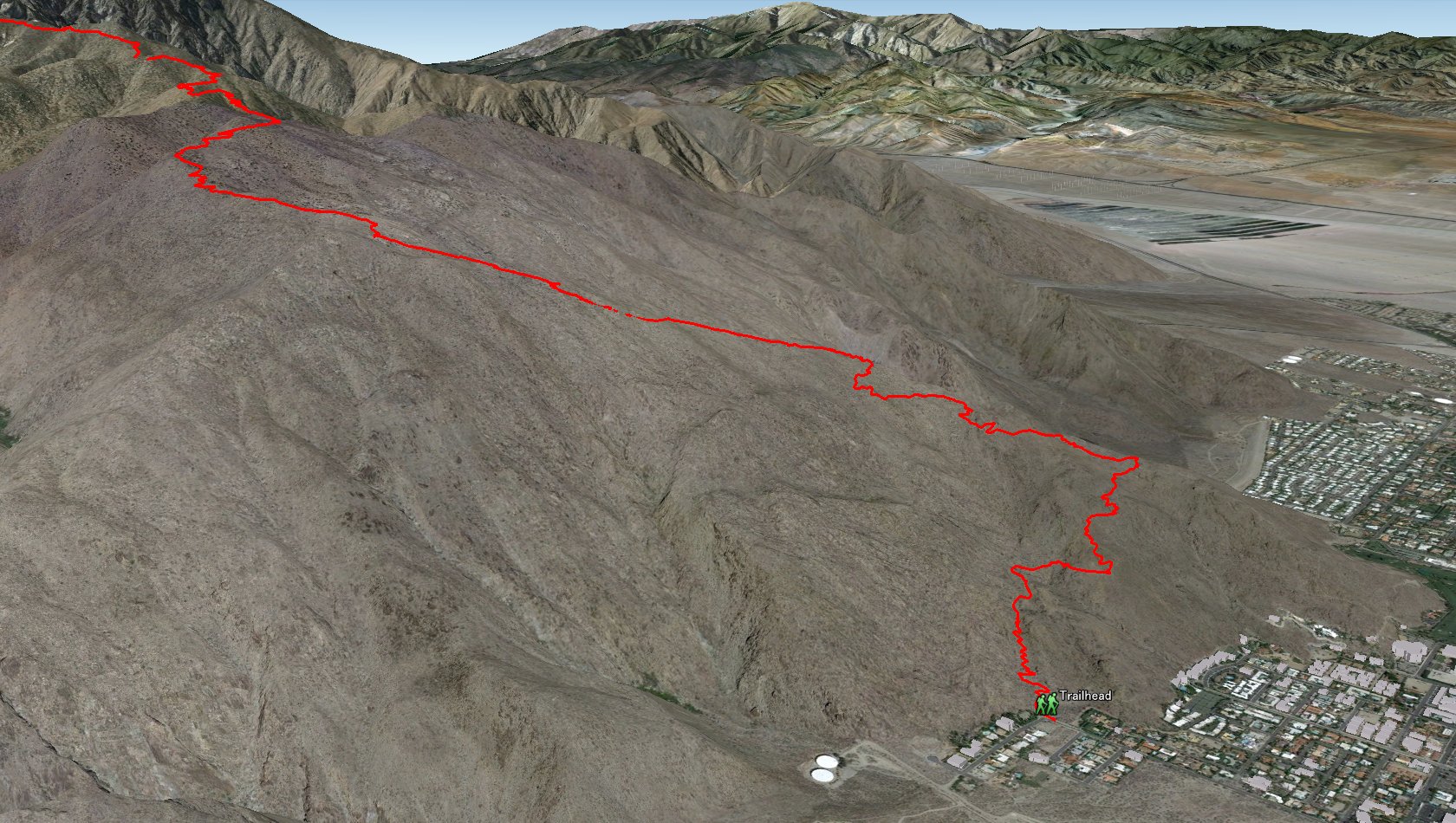 Lower Half to the Tram station |
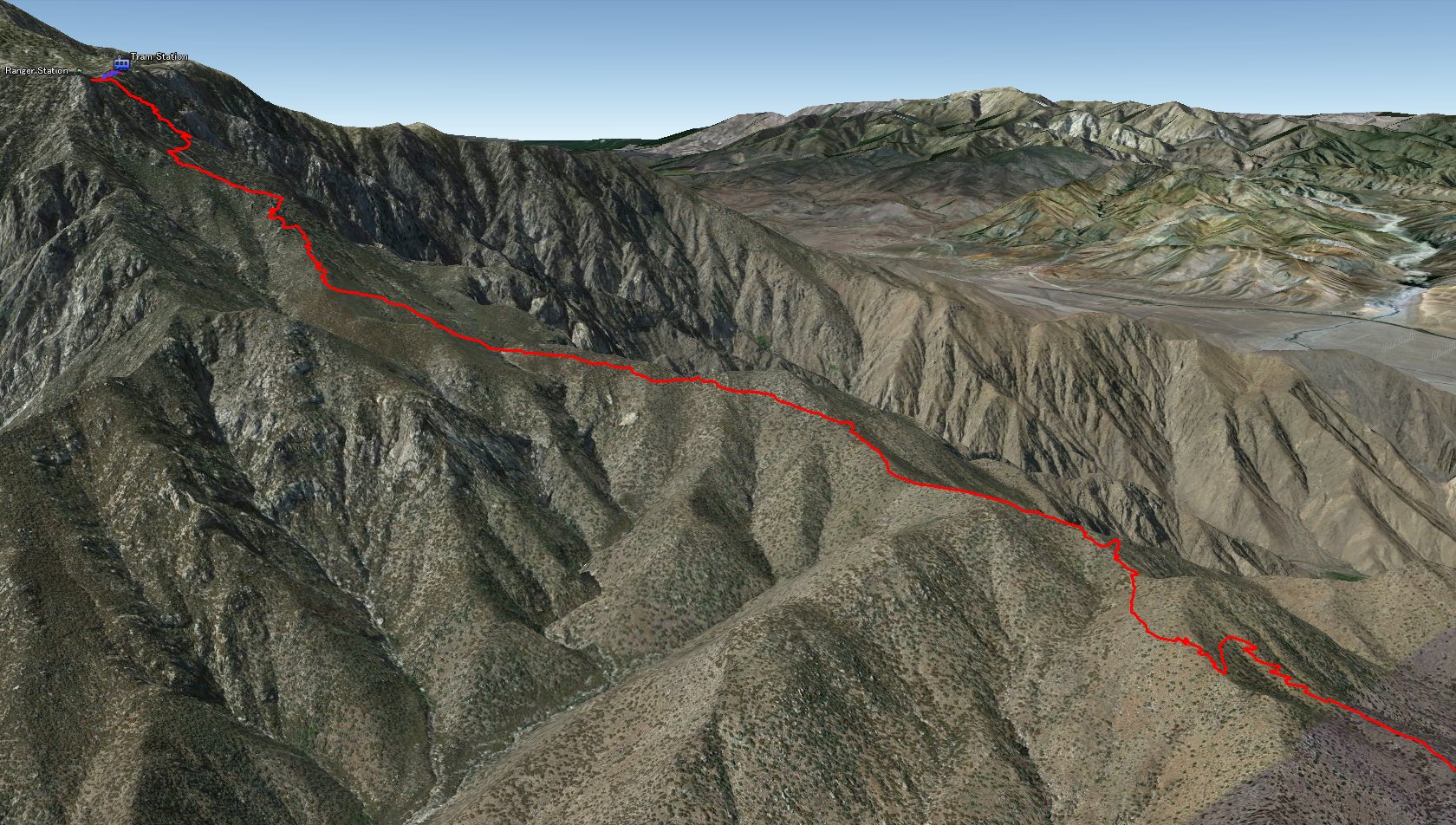 Upper Half to the Tram station |
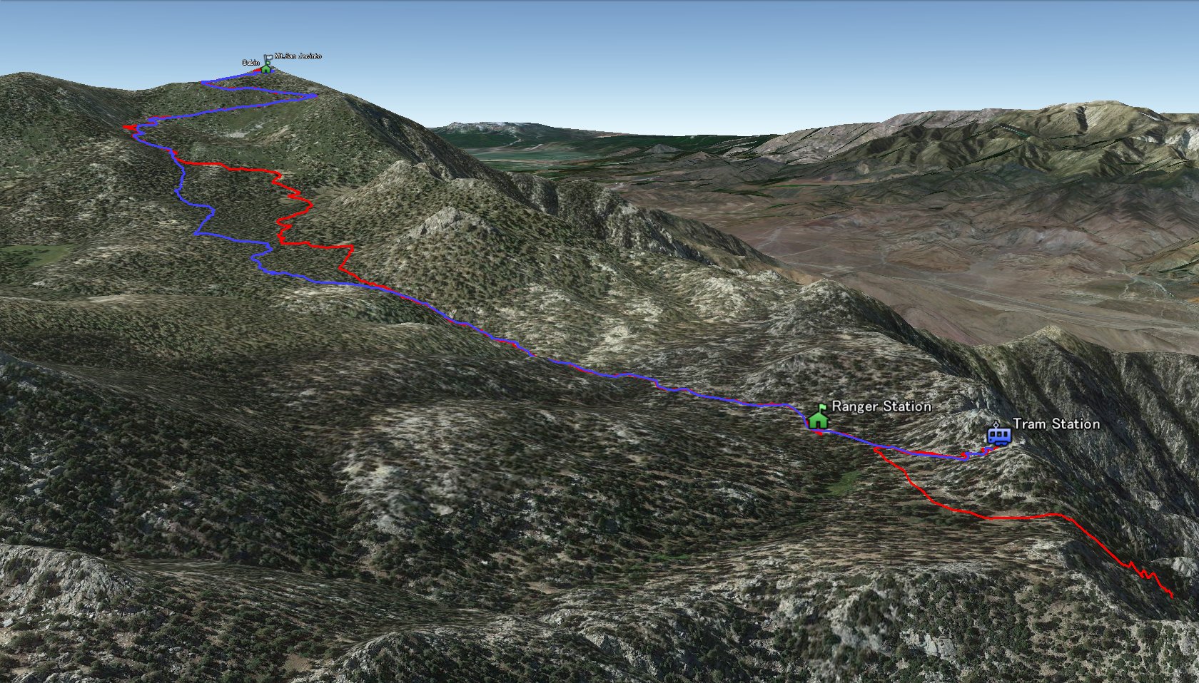 Tram station to the Peak |
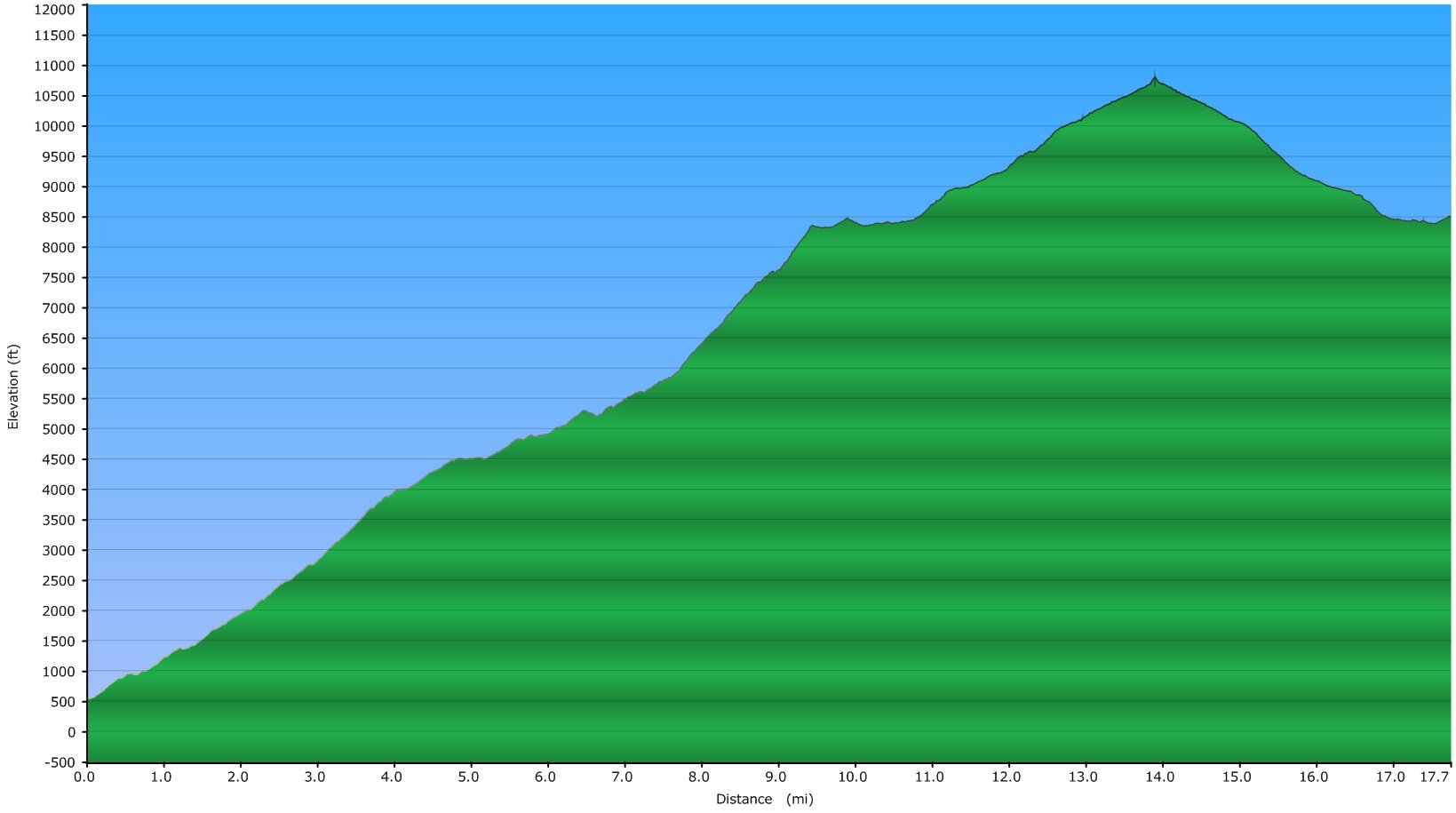 Elevation Chart |
 Google Map |
 Google Earth |
|
| ||||||||||||||
|
| Showing 1-24 of 43 pictures | Next --> |

|
|
|
|
|
|
|

|
|
|
|
|
|
|
|

|
|
|

|

|
|
|
|

|
 |
 |