Mummy Springs Backpacking
December 5-6th 2012
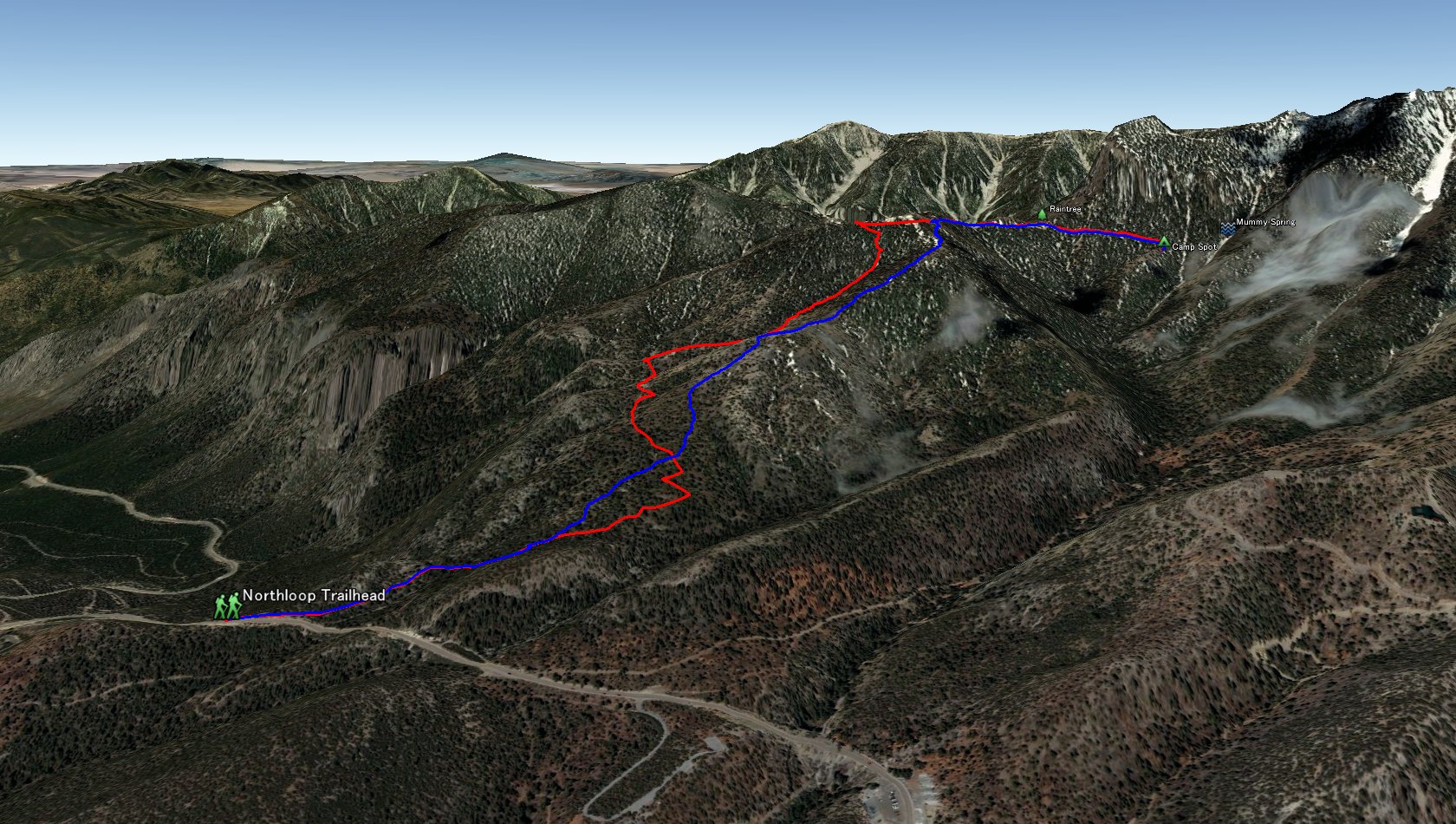
Entire 3D trail map
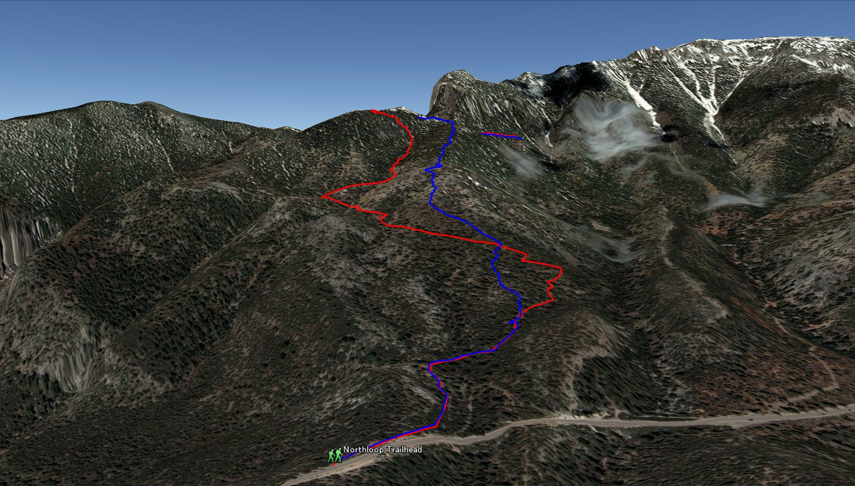
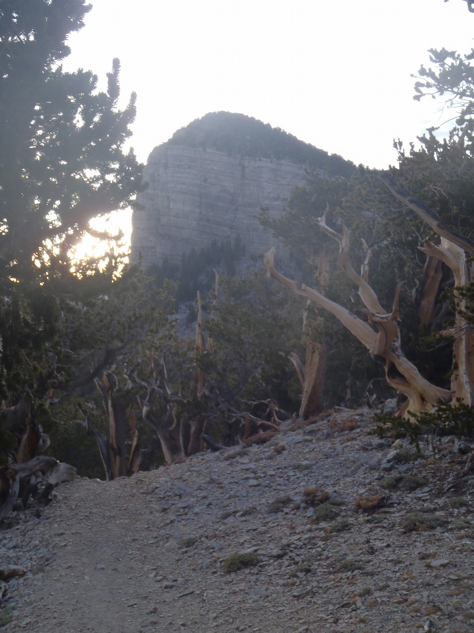
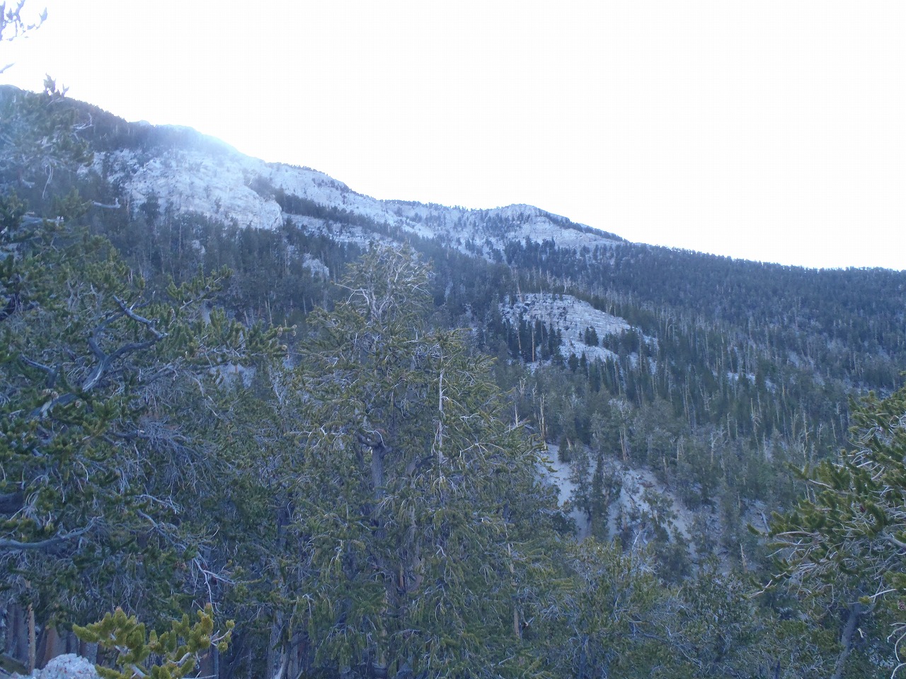
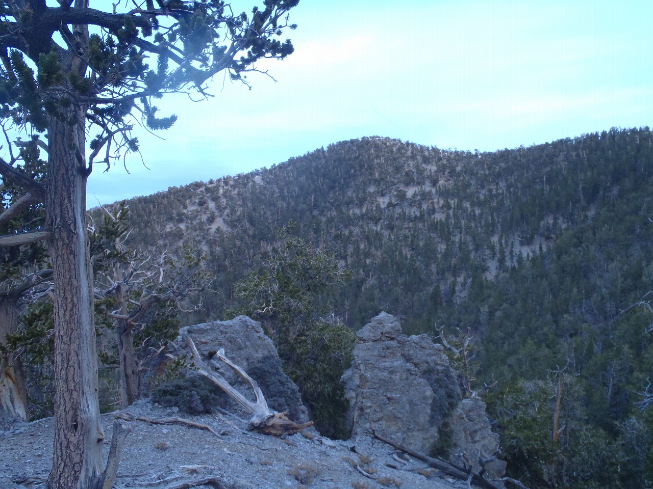
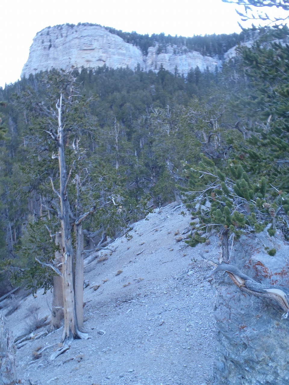
Ascent and Descent Route
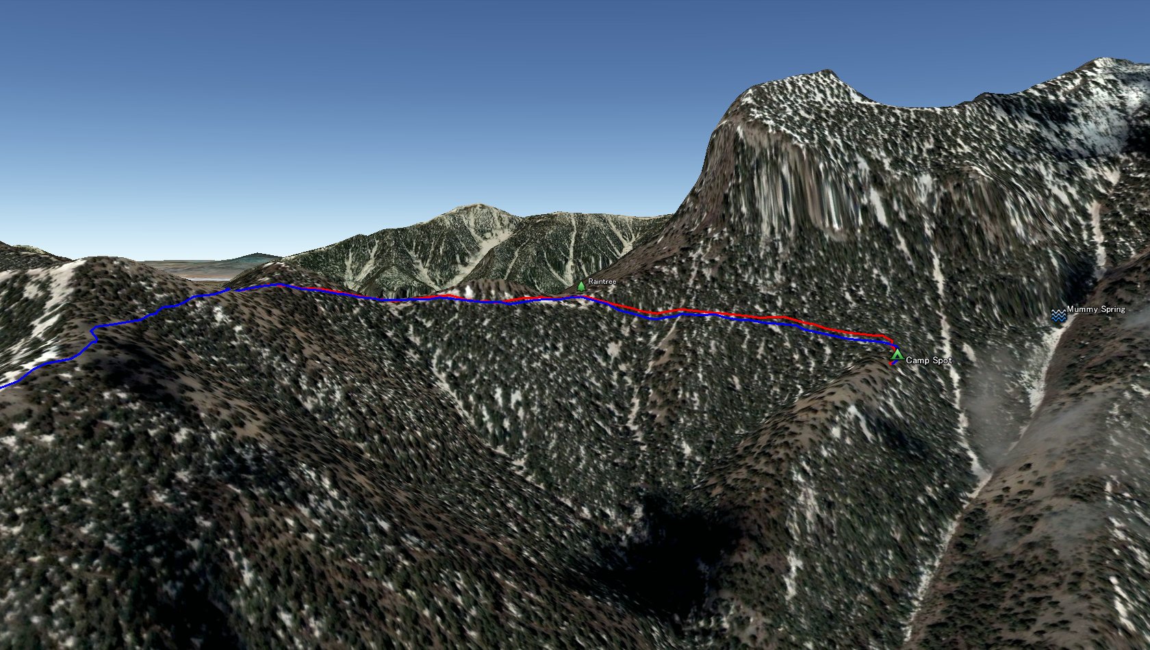
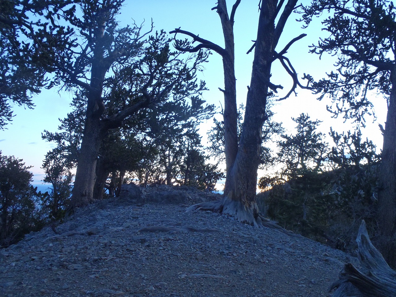
Campspot near Mummy Springs
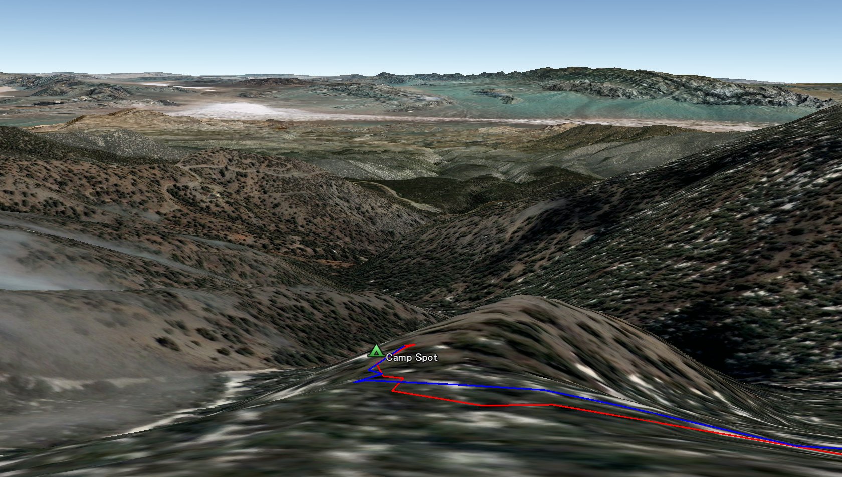
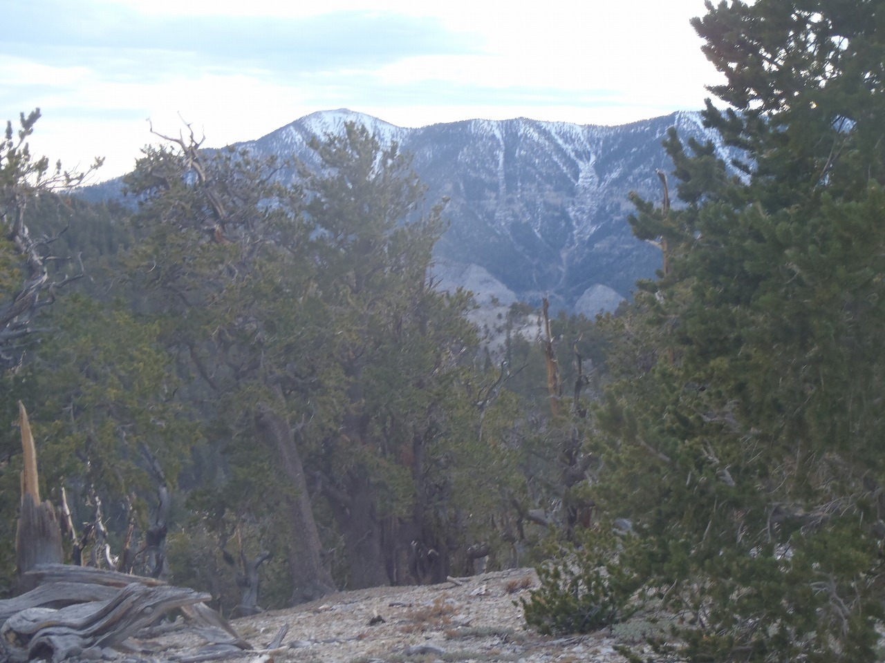
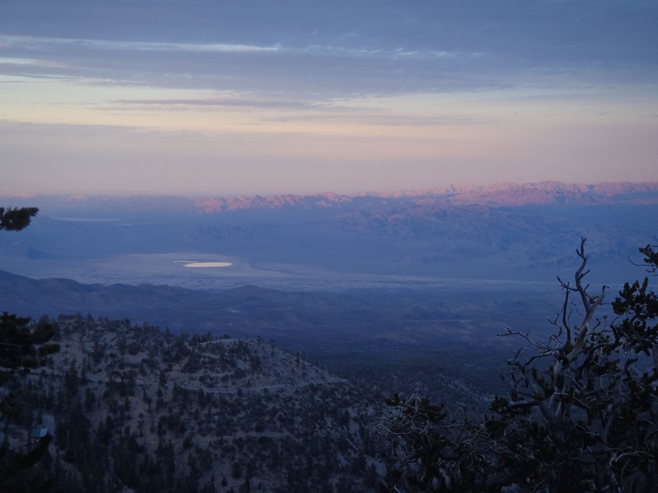
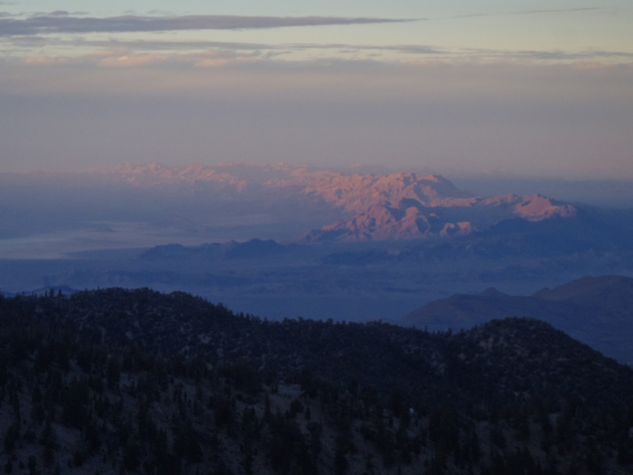
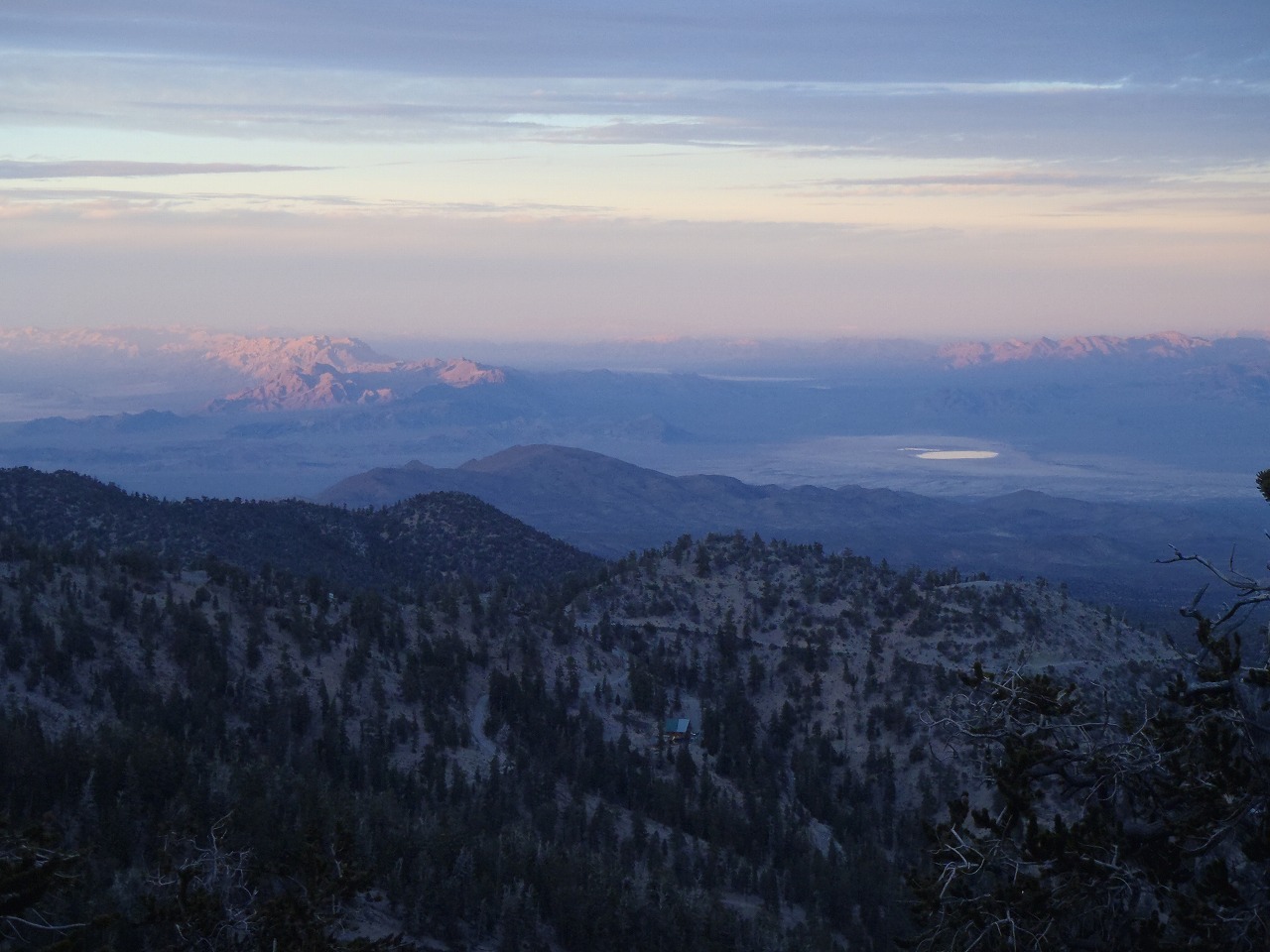
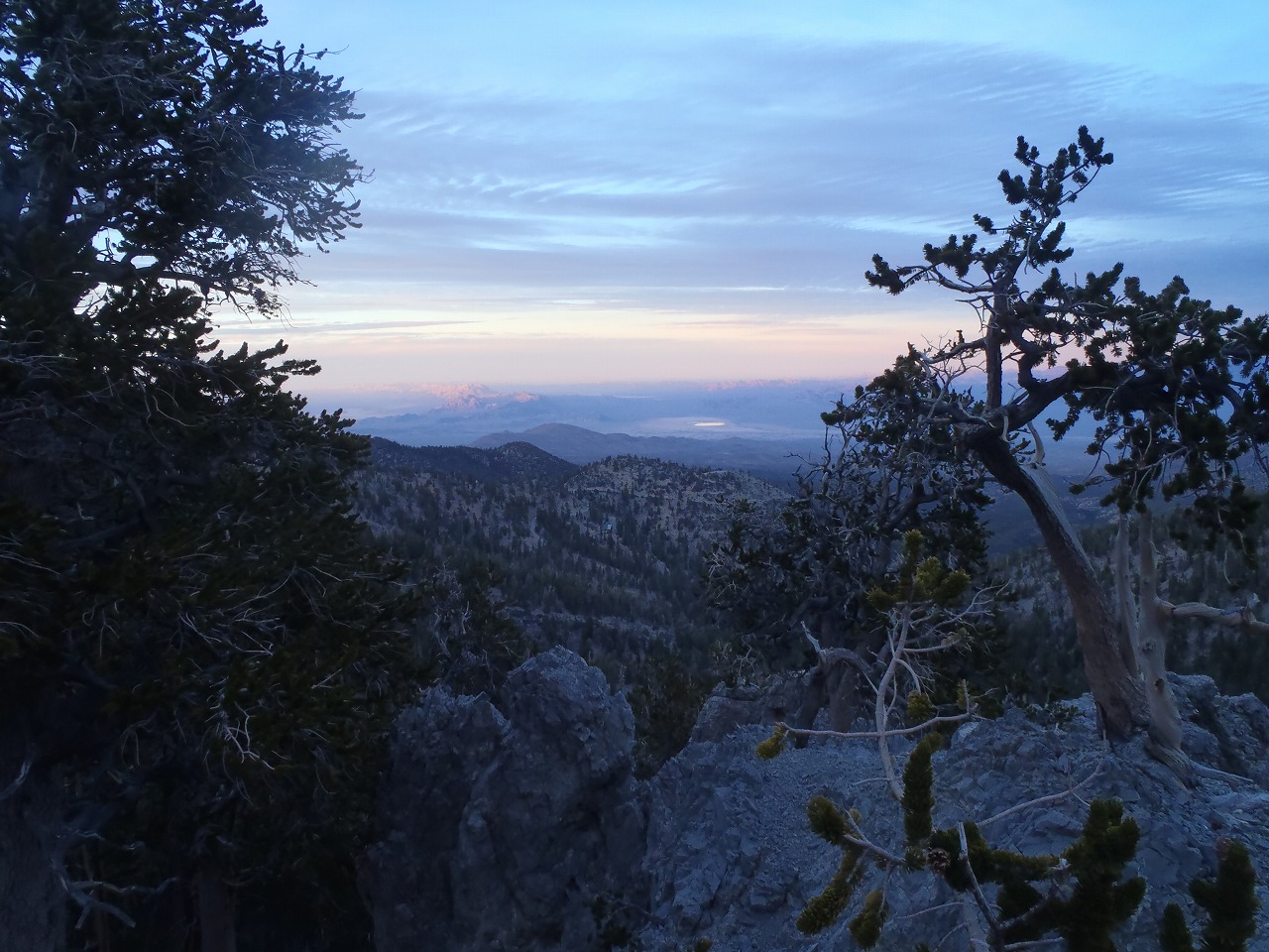
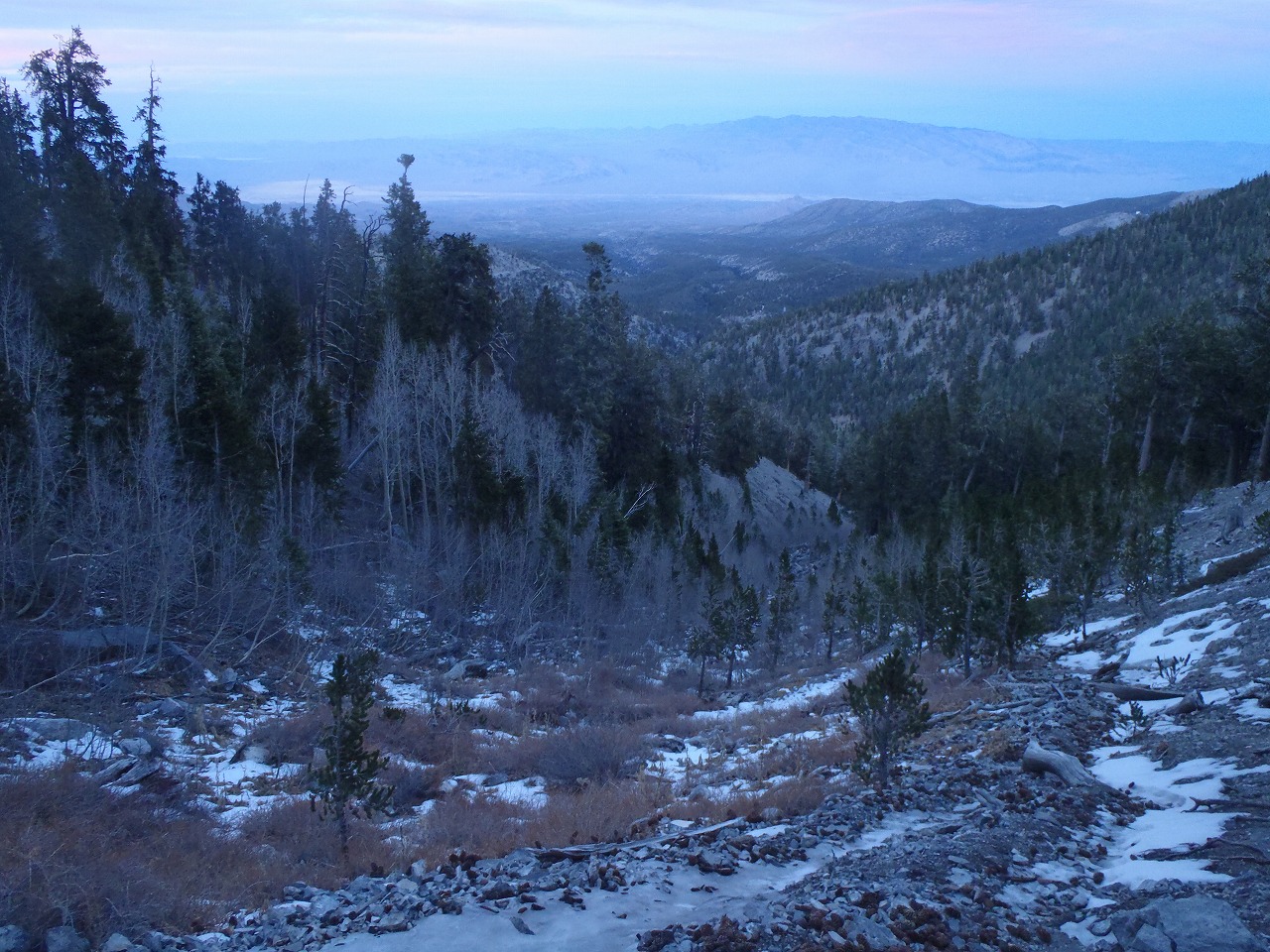
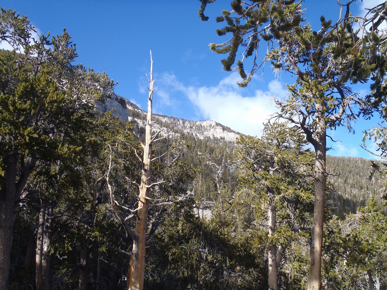
The View from campspot
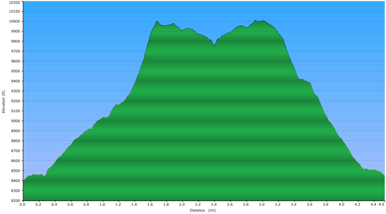
Elevation Chart
Google Map
Google Earth
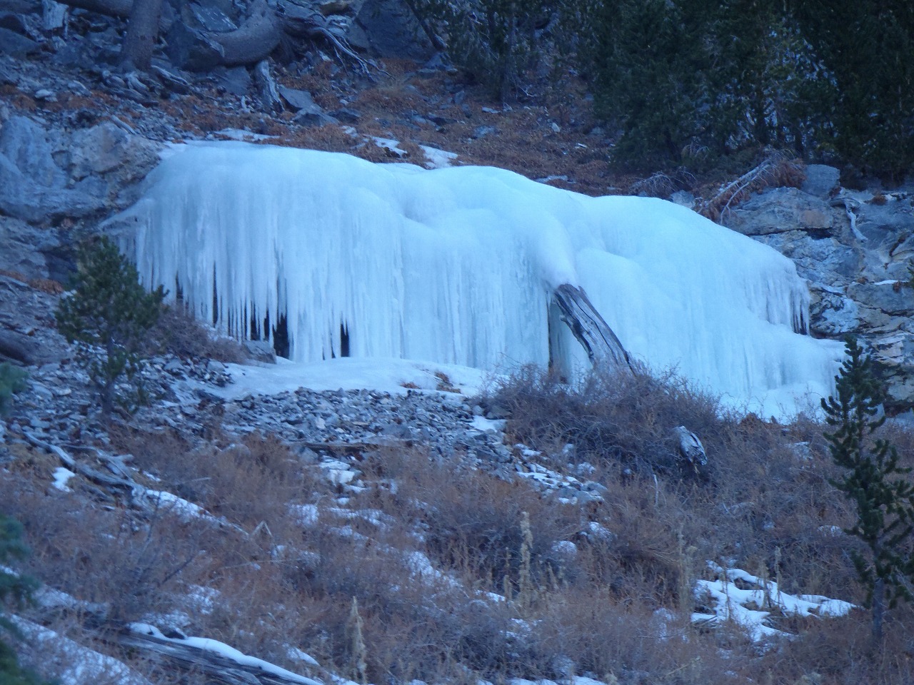
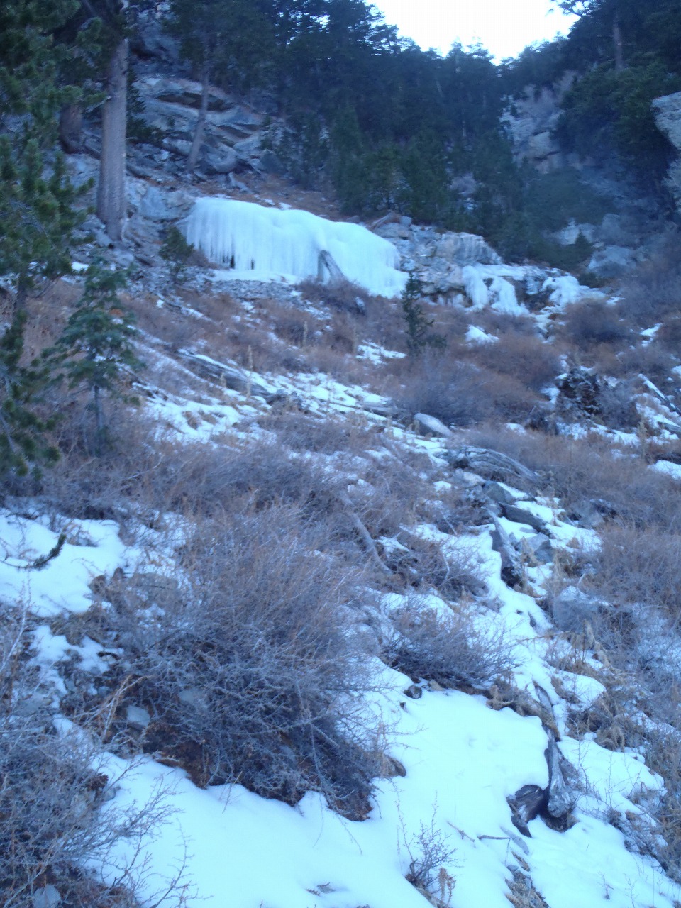
Hike Status :
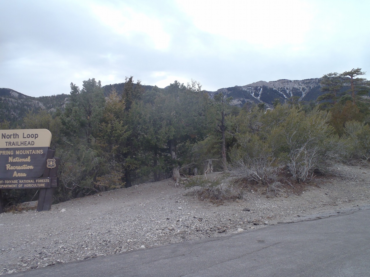
Trailhead
: Northloop Trailhead (Mt.Charleston)
Distance
: 4.7 mile
Total Elevation Gain
: 1,800 ft
Class
: 1-2
Time
: 3 hours
Showing 1-24 of 29 pictures |
Next -->