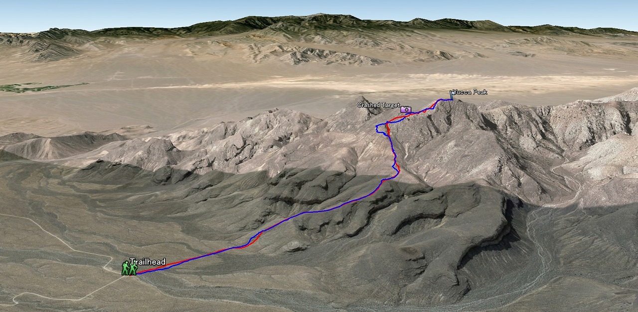
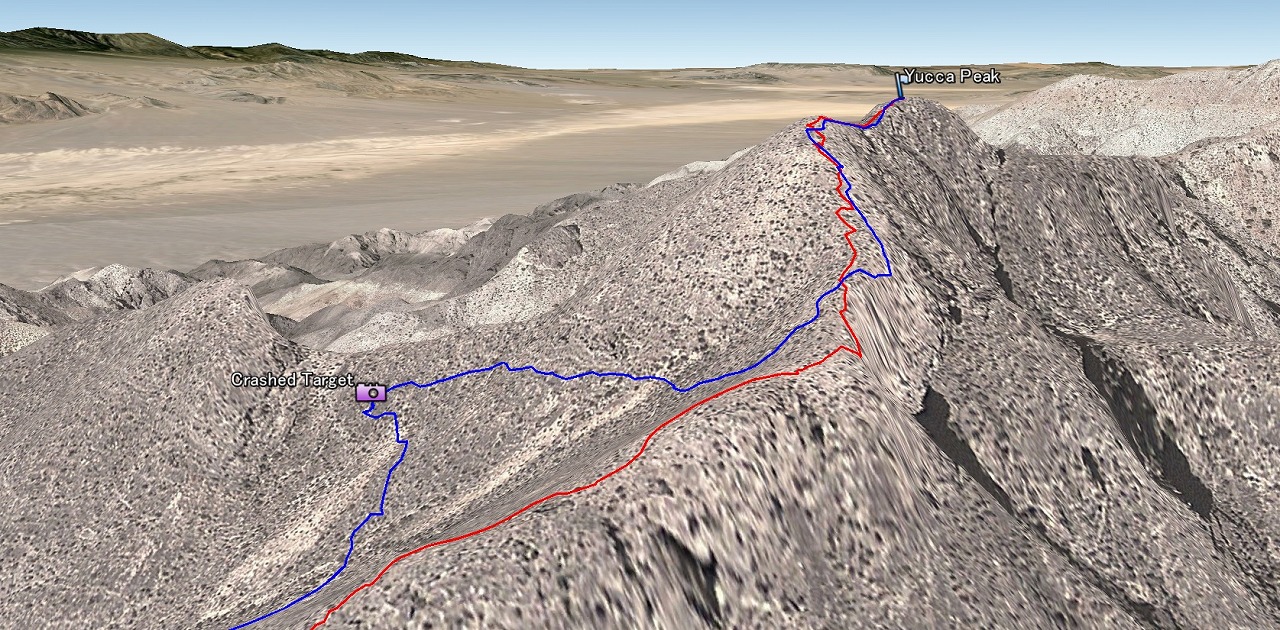
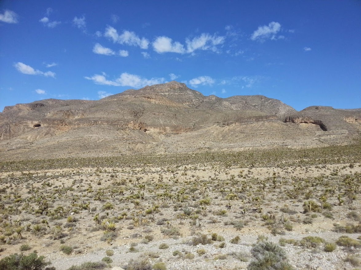
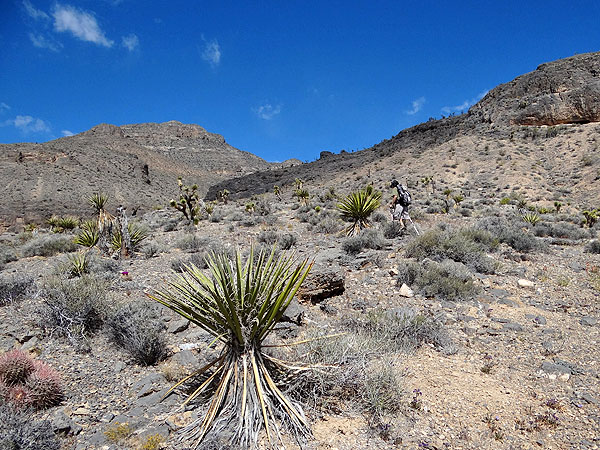
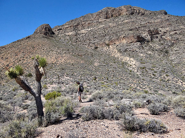
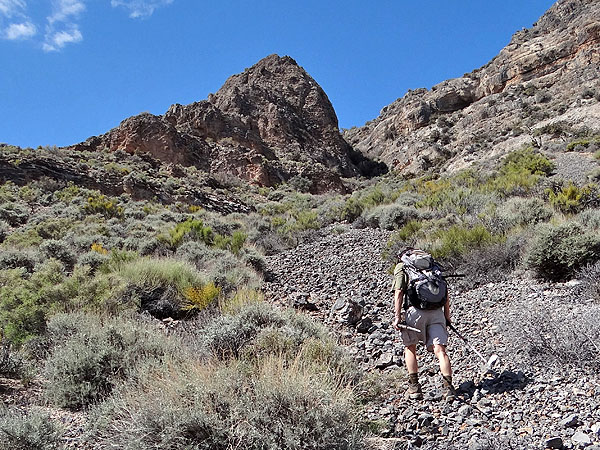
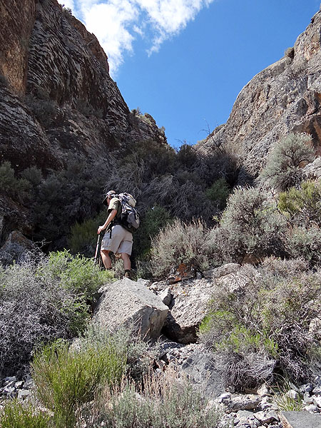
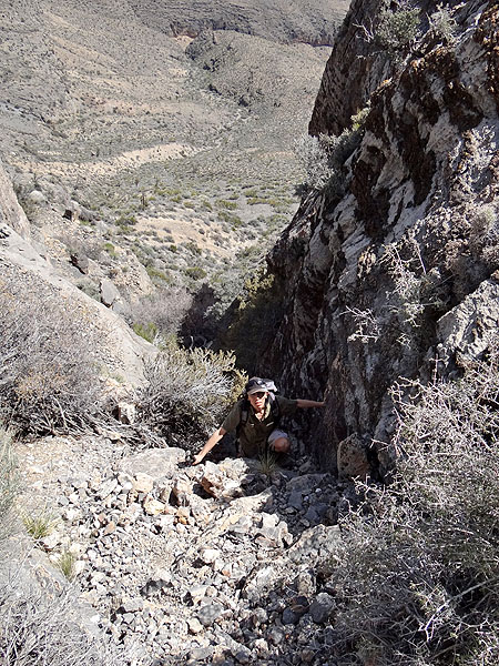
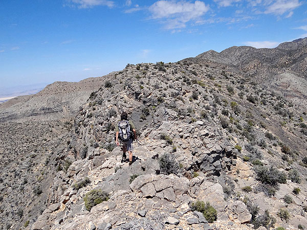
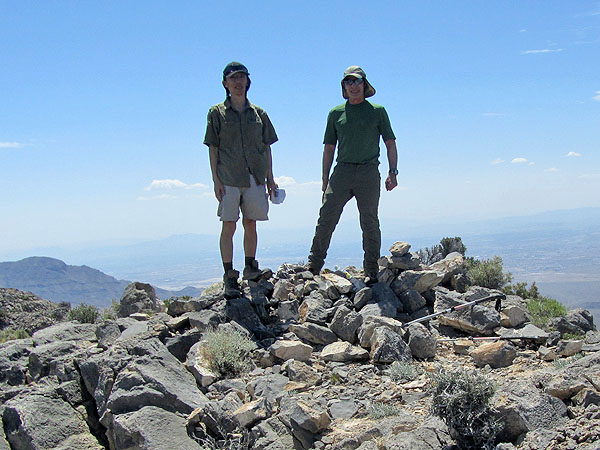
Yucca Peak
April 20th 2015
Entire 3D trail map
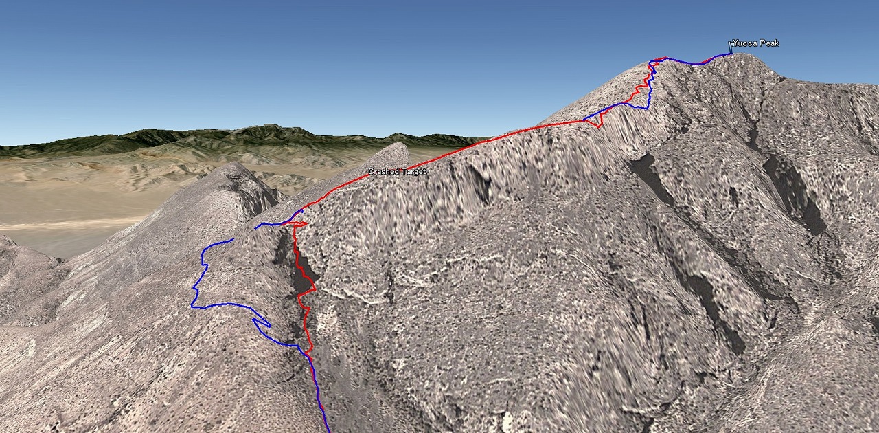
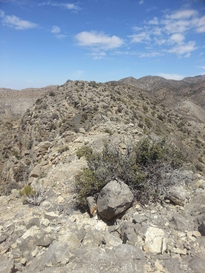
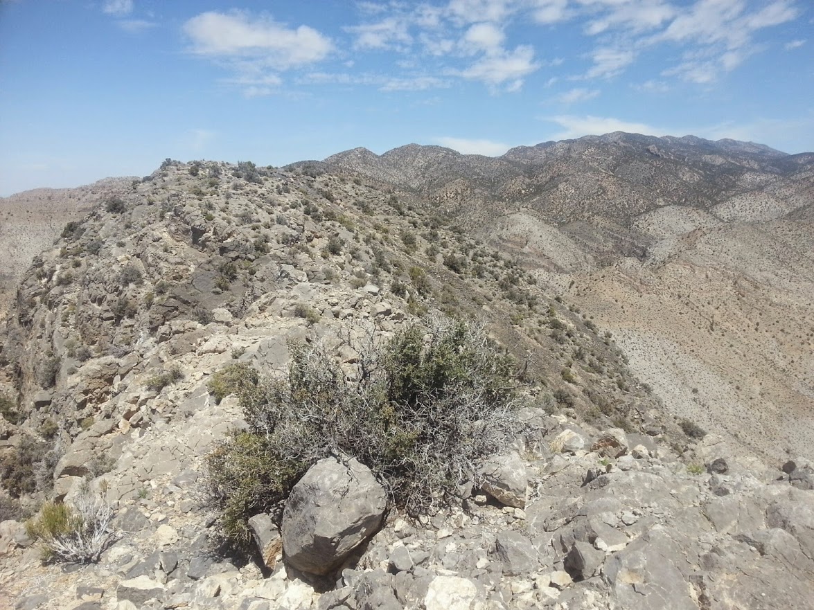
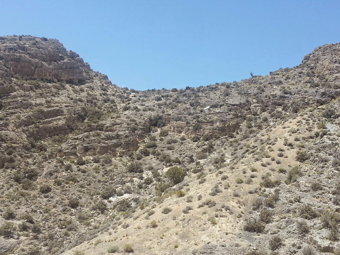
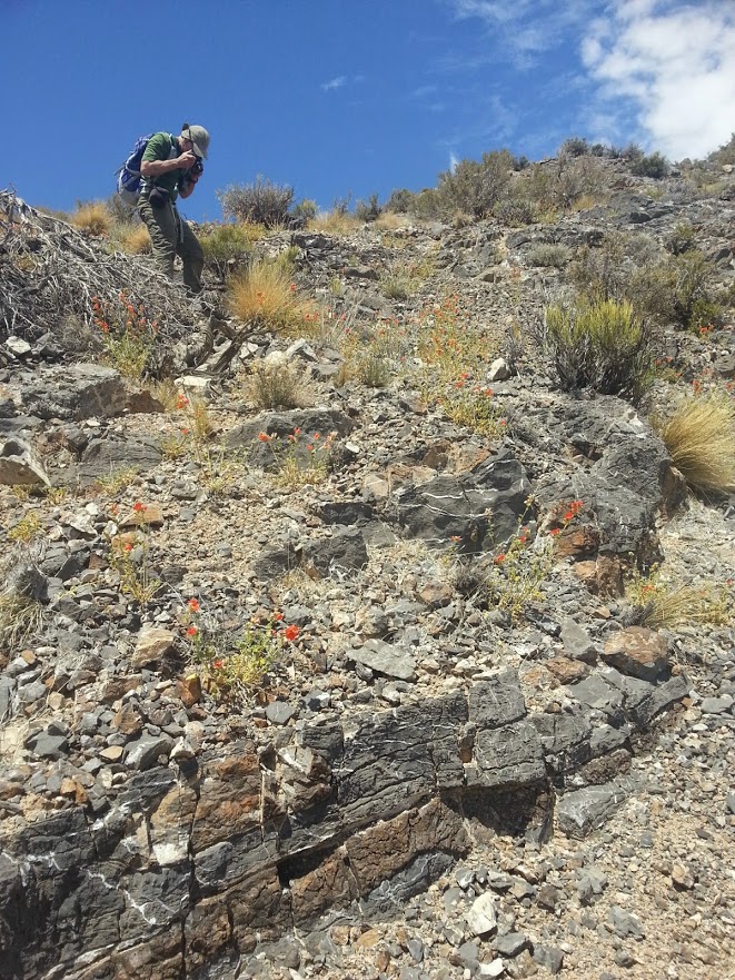
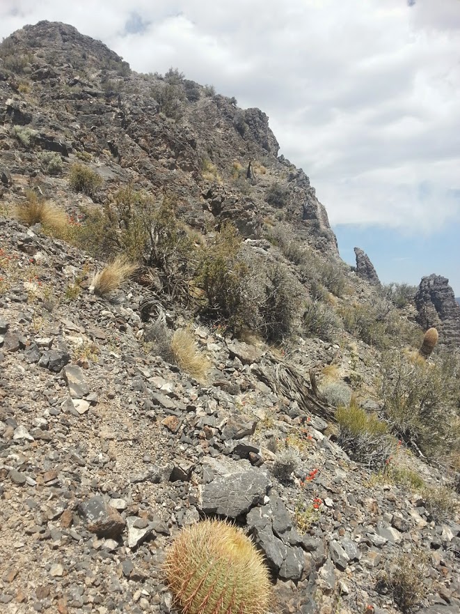
Buttress to the Peak
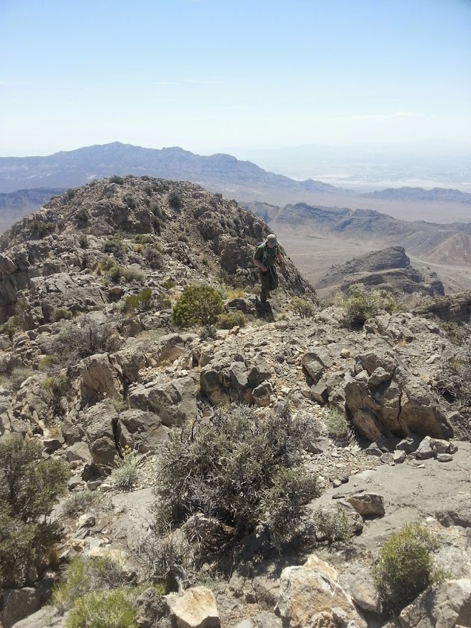
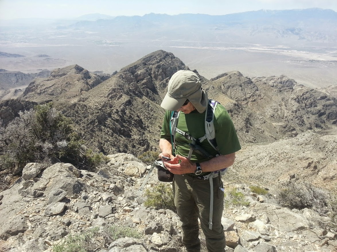
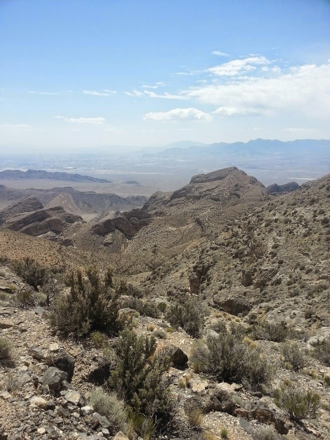
City View from the peak
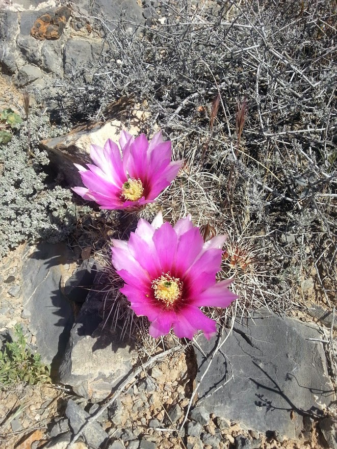
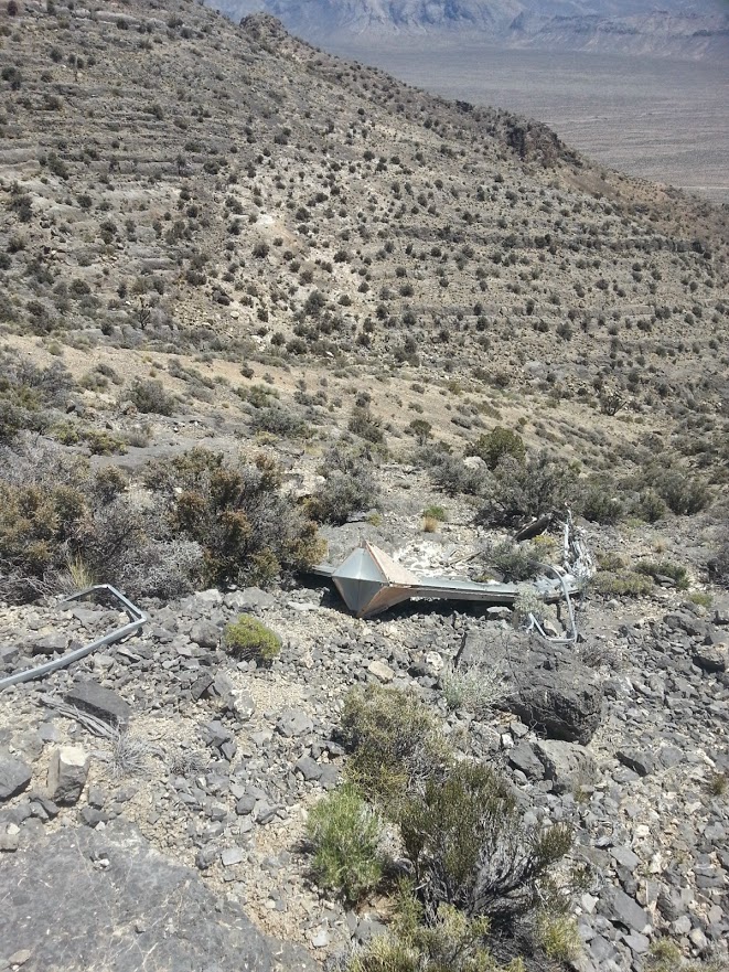
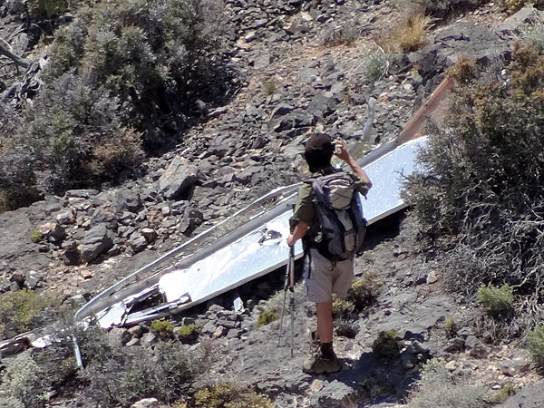
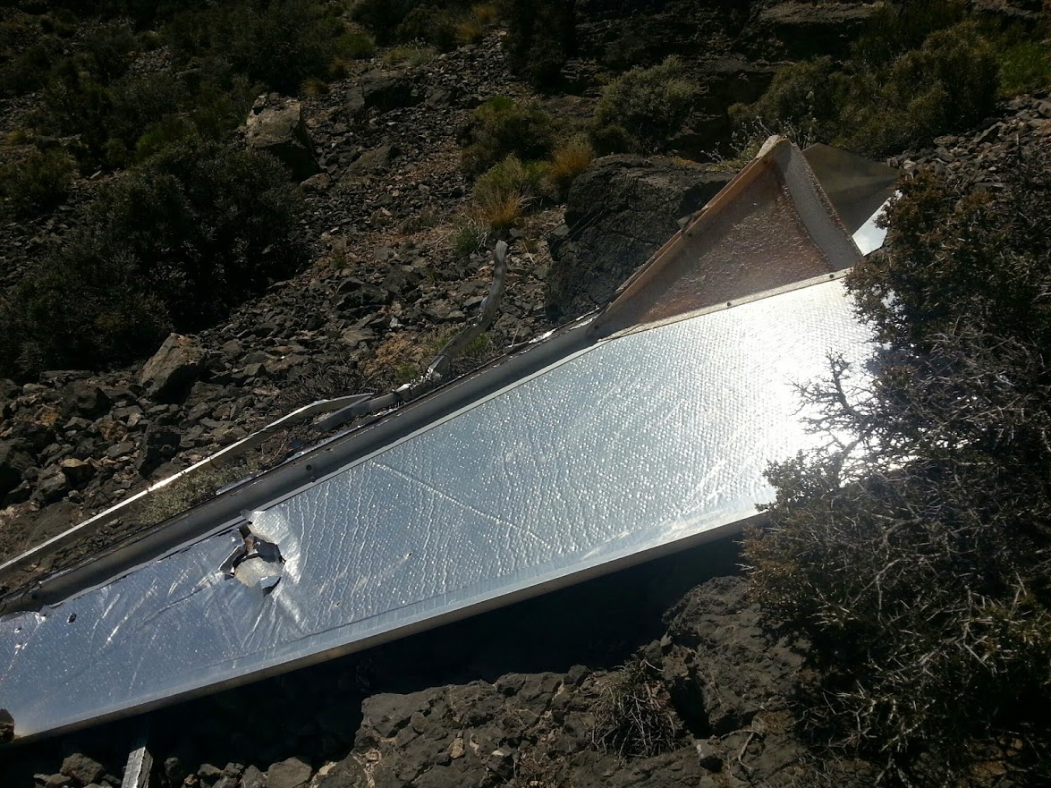
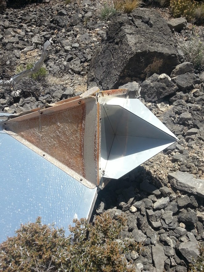
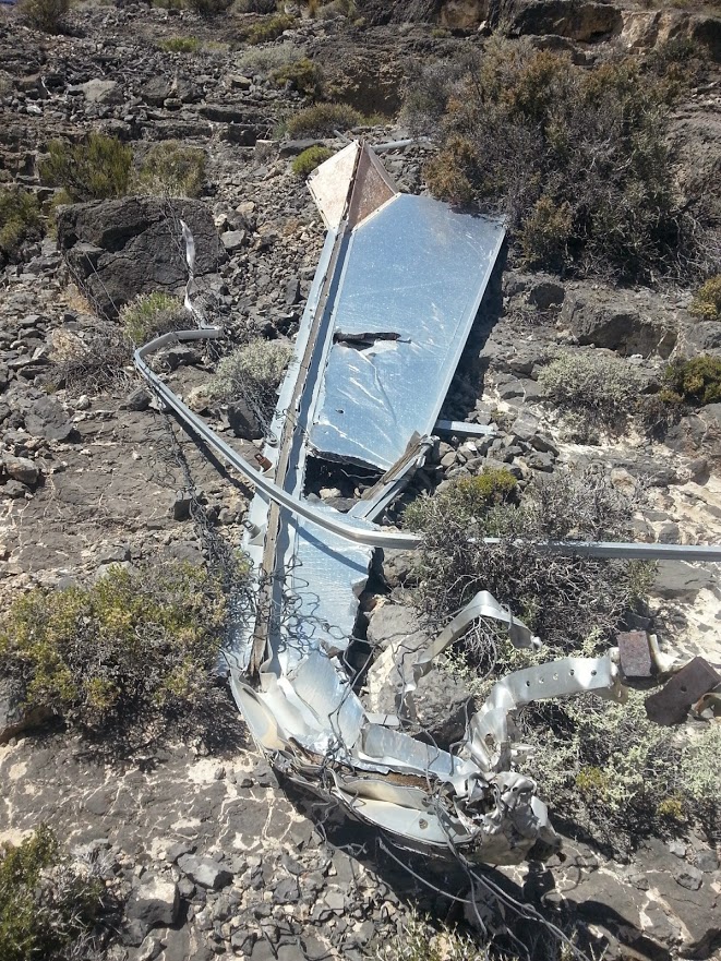
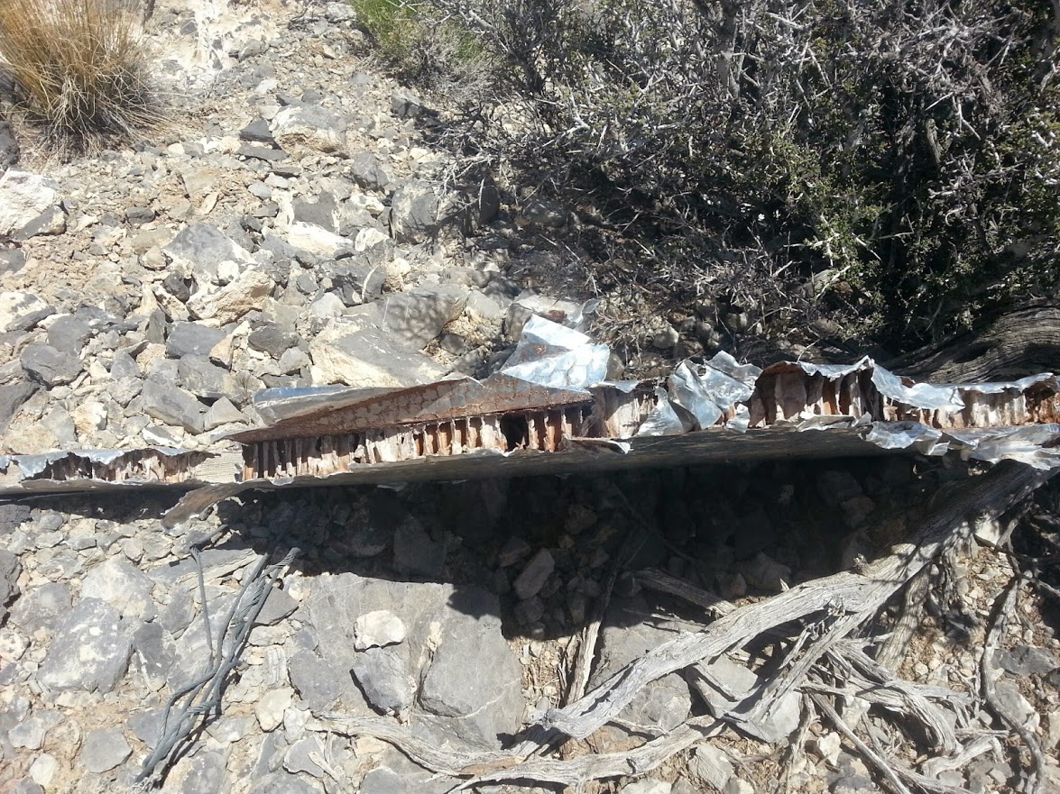
Side trip to the crashed aerial gunnery target
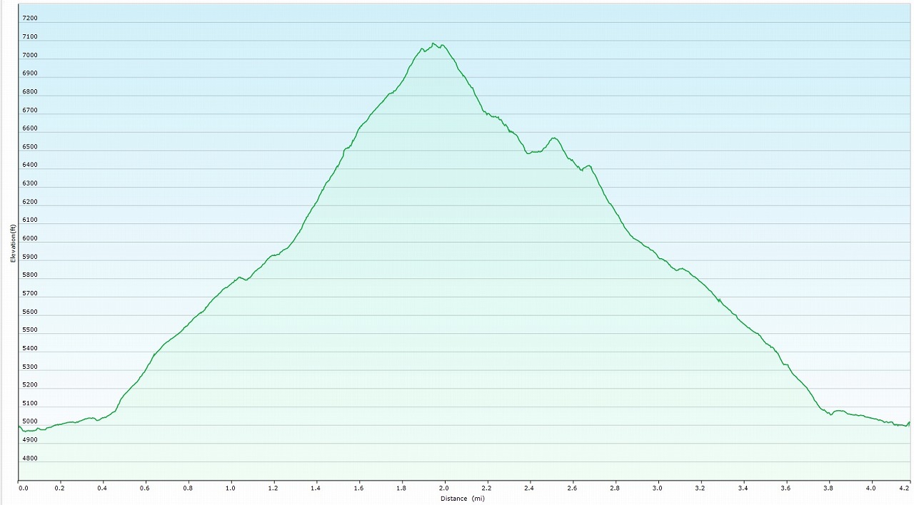
Elevation Chart
Google Earth
Hike Status :
Trailhead
: Mormon Well Rd.(9 miles from Corn Creek Visitor Center)
Distance
: 4.5 mile
Elevation Peak
: 7,084 ft (Yucca Peak)
Total Elevation Gain
: 2,300 ft
Class
: 1-2
Time
: 4 hours
Showing 1-24 of 30 pictures |
Next -->