Mesquite Mountain HP
October 20th 2015
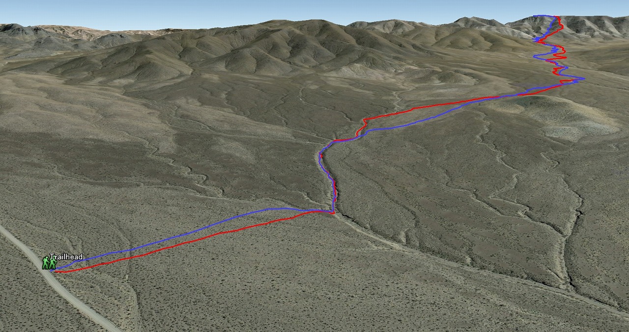
Entire 3D trail map
Long approach
Ridgeline Up, Canyon Down
Saddle to the Peak
Elevation Chart
Google Earth
Hike Status :
Trailhead
: 16 mile North of Kingstone Rd off I-15
Distance
: 11.0 mile
Elevation Peak
: 5,167 ft (Mesquite Mtn. HP)
Total Elevation Gain
: 1,800 ft
Class
: 1-2
Time
: 6 hours
Showing 1-24 of 31 pictures |
Next -->