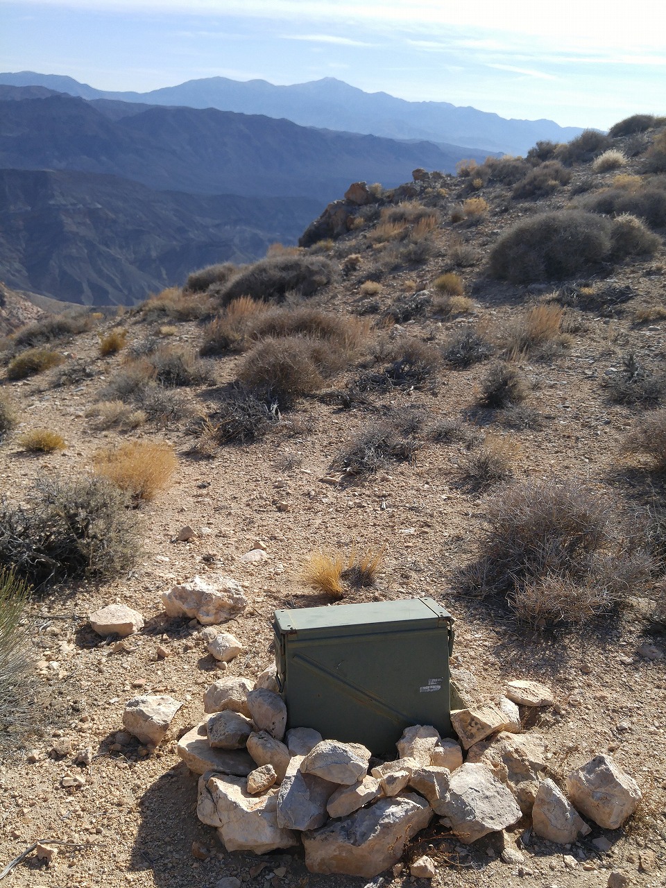
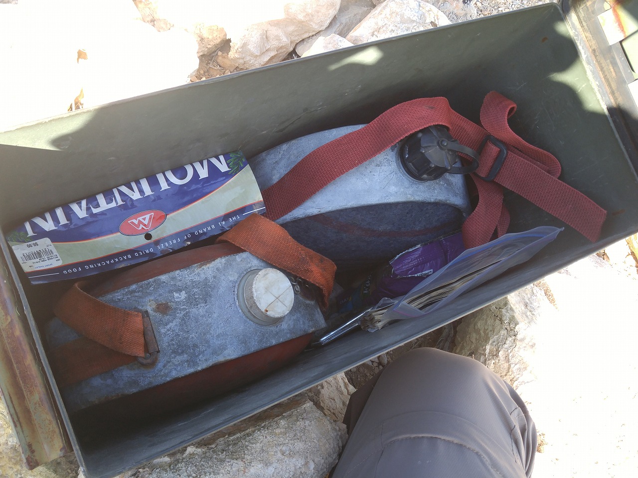
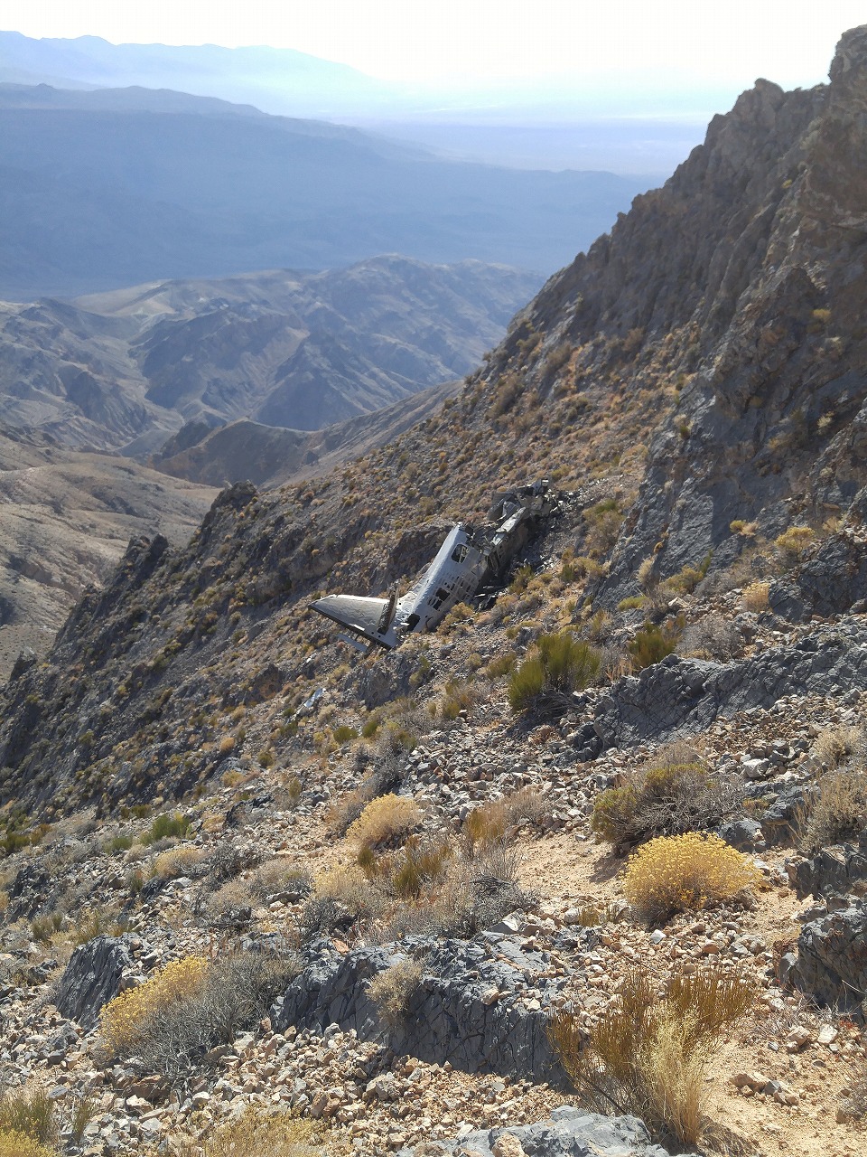
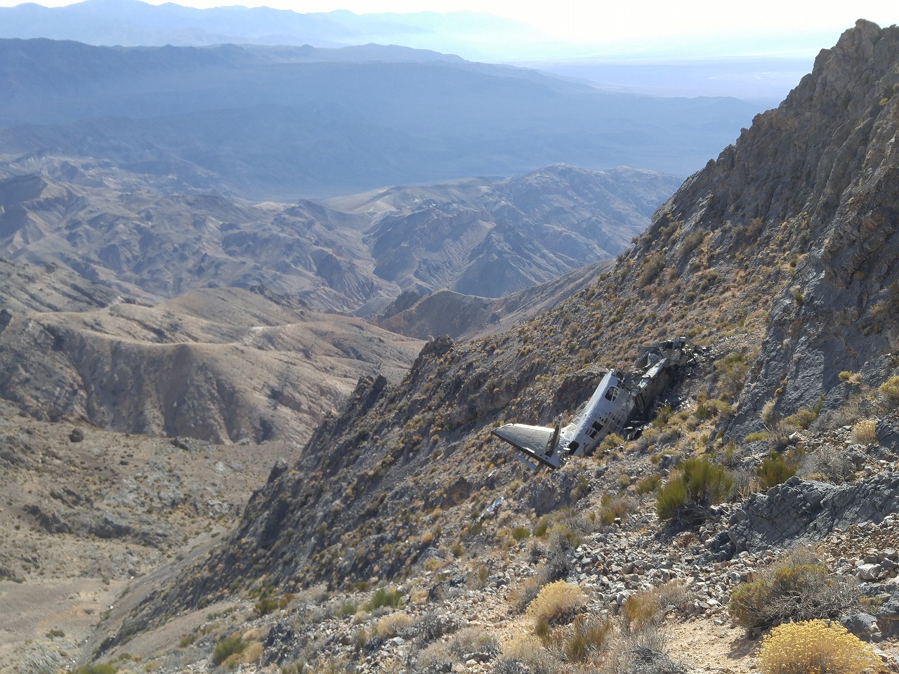
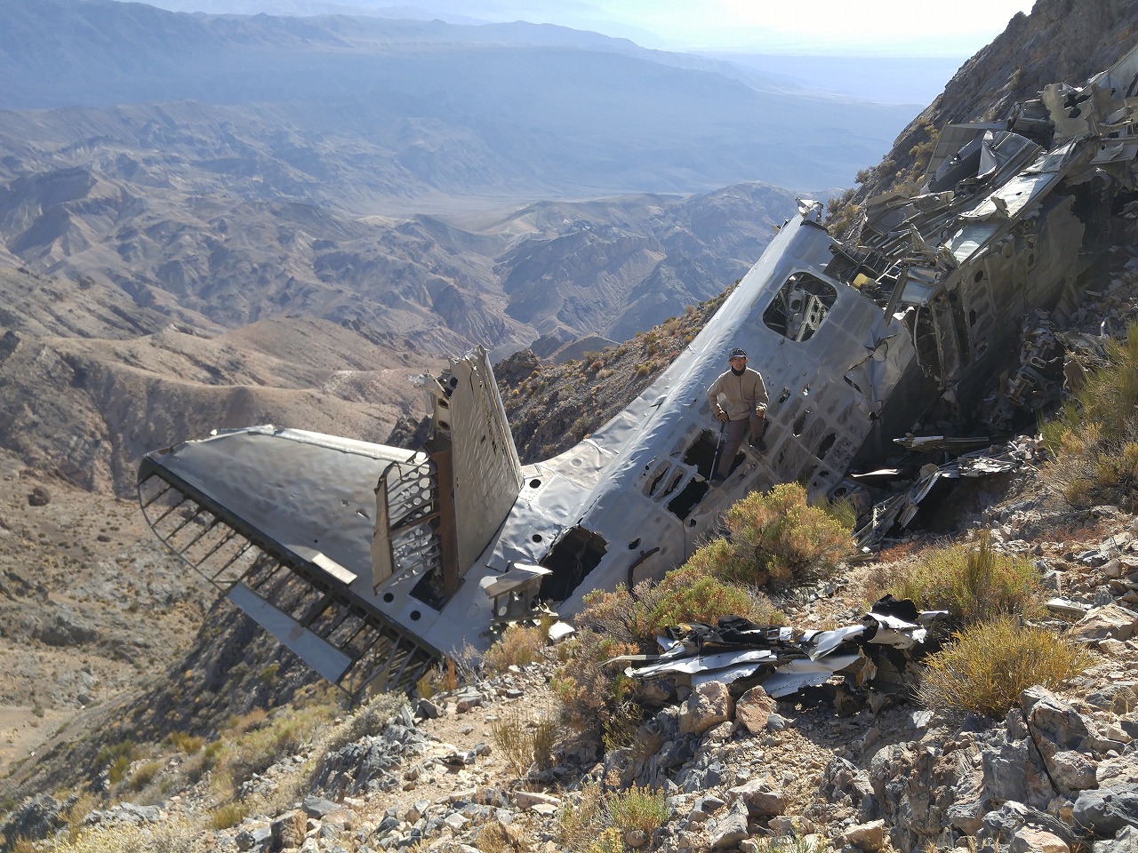
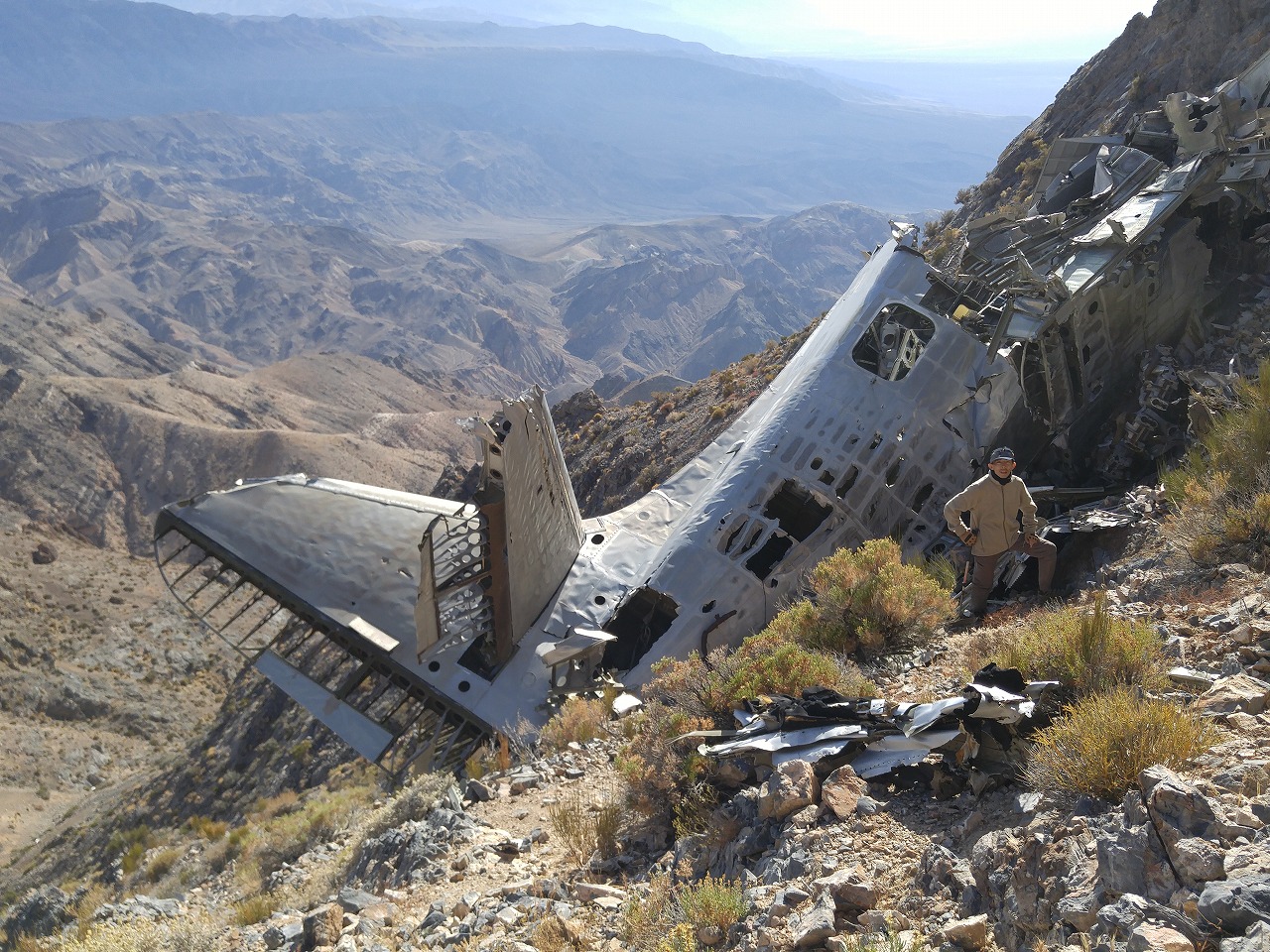
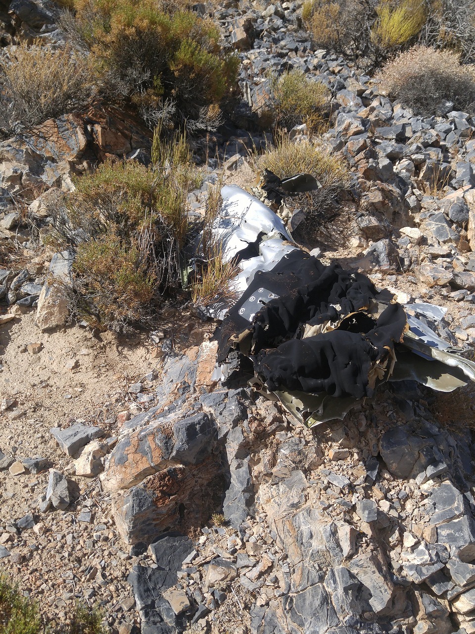
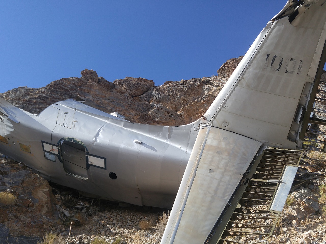
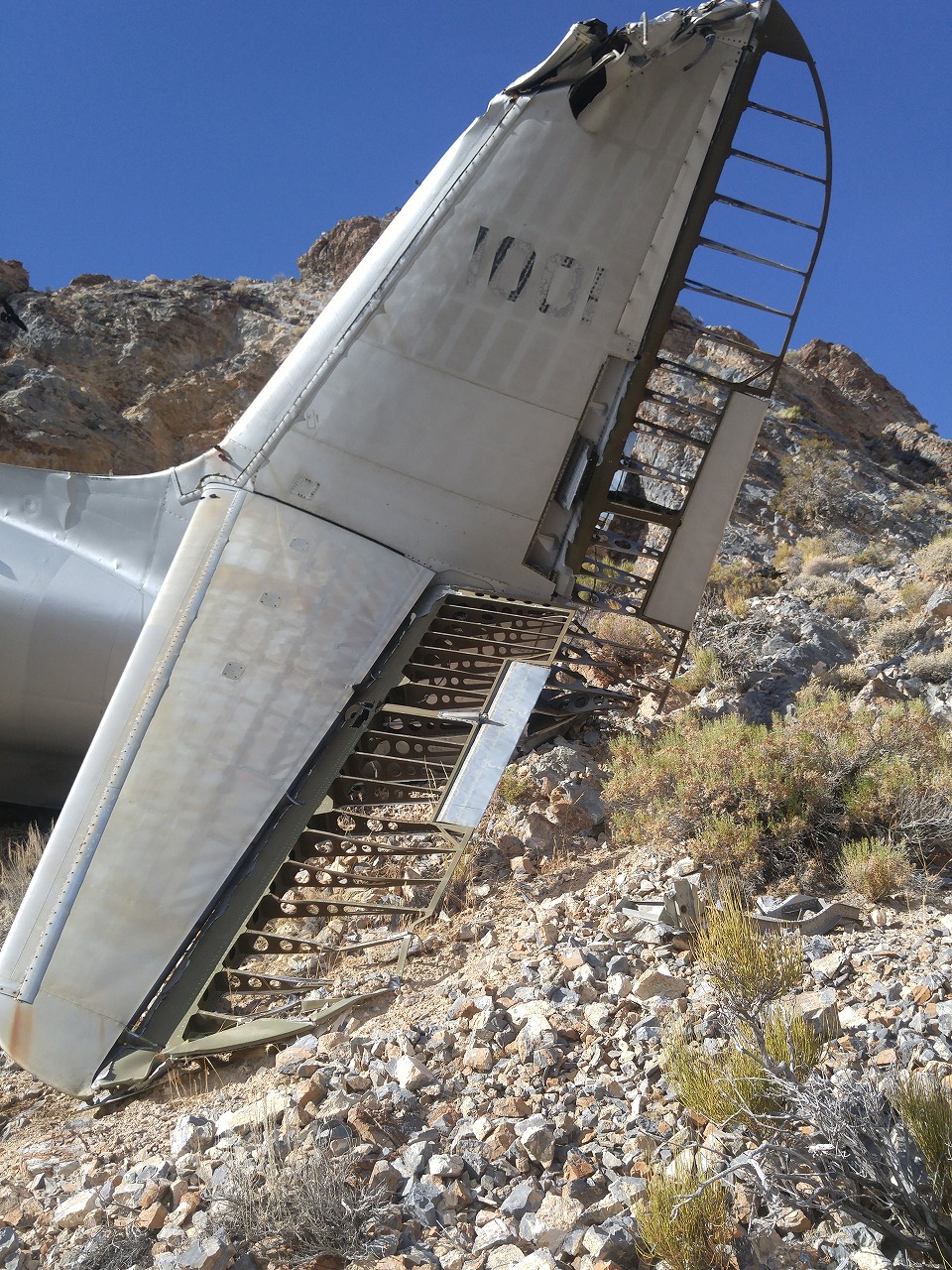
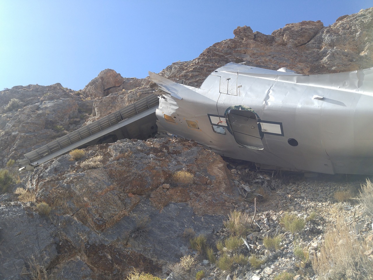
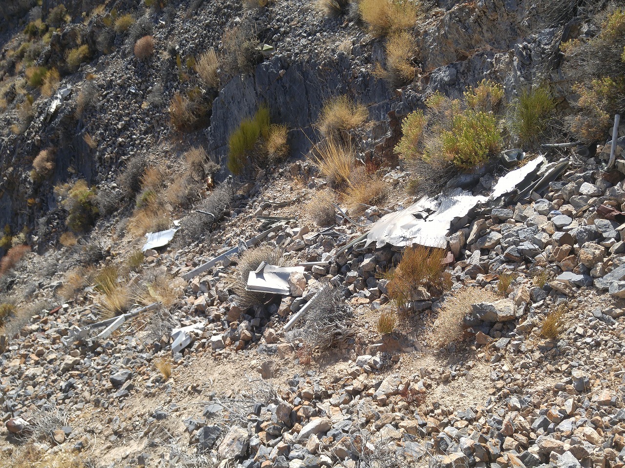
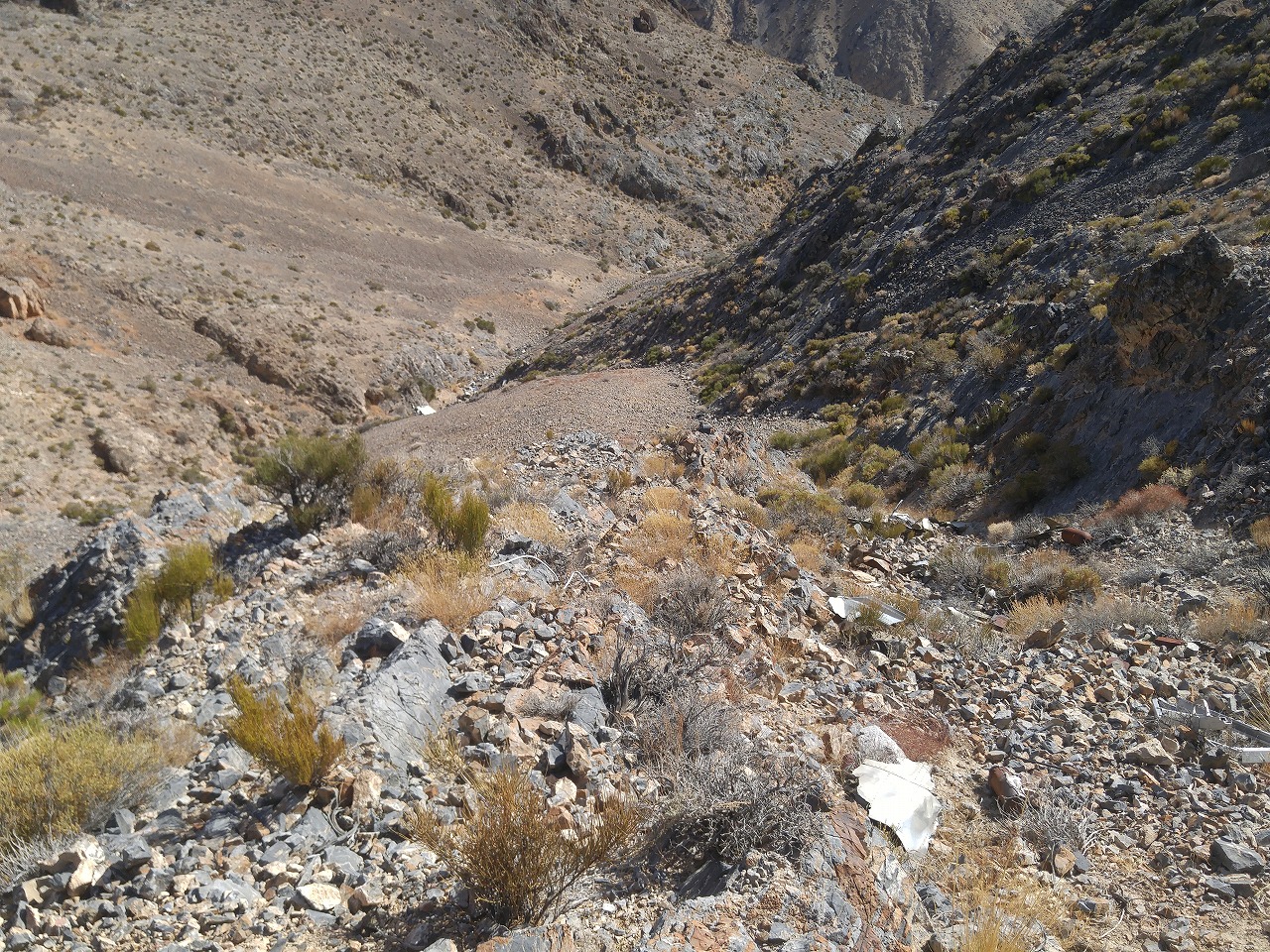
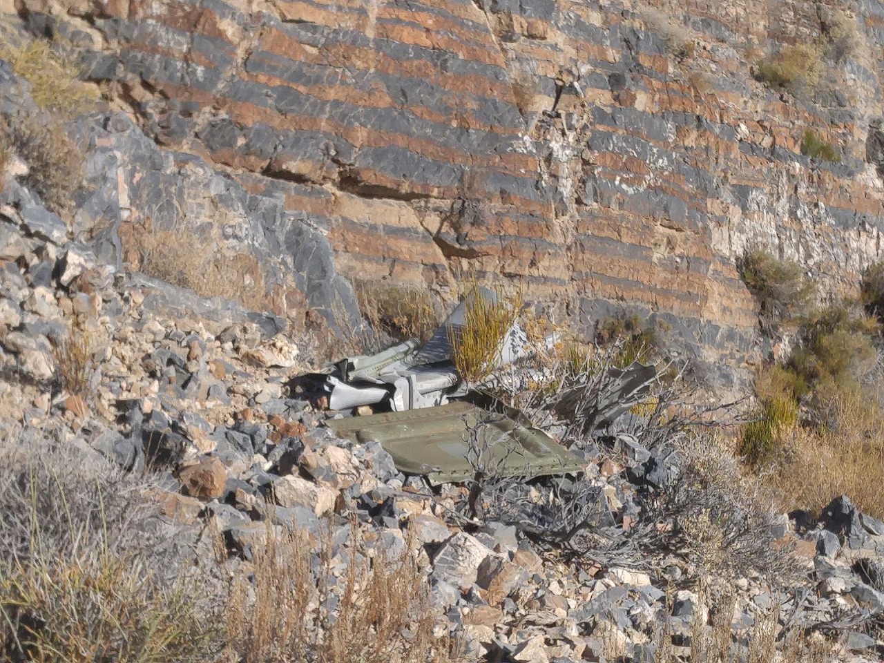
Towne Peak and SA-16A Albatross Crash Site
November 23rd 2016
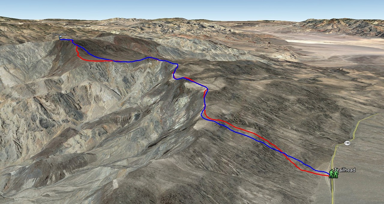
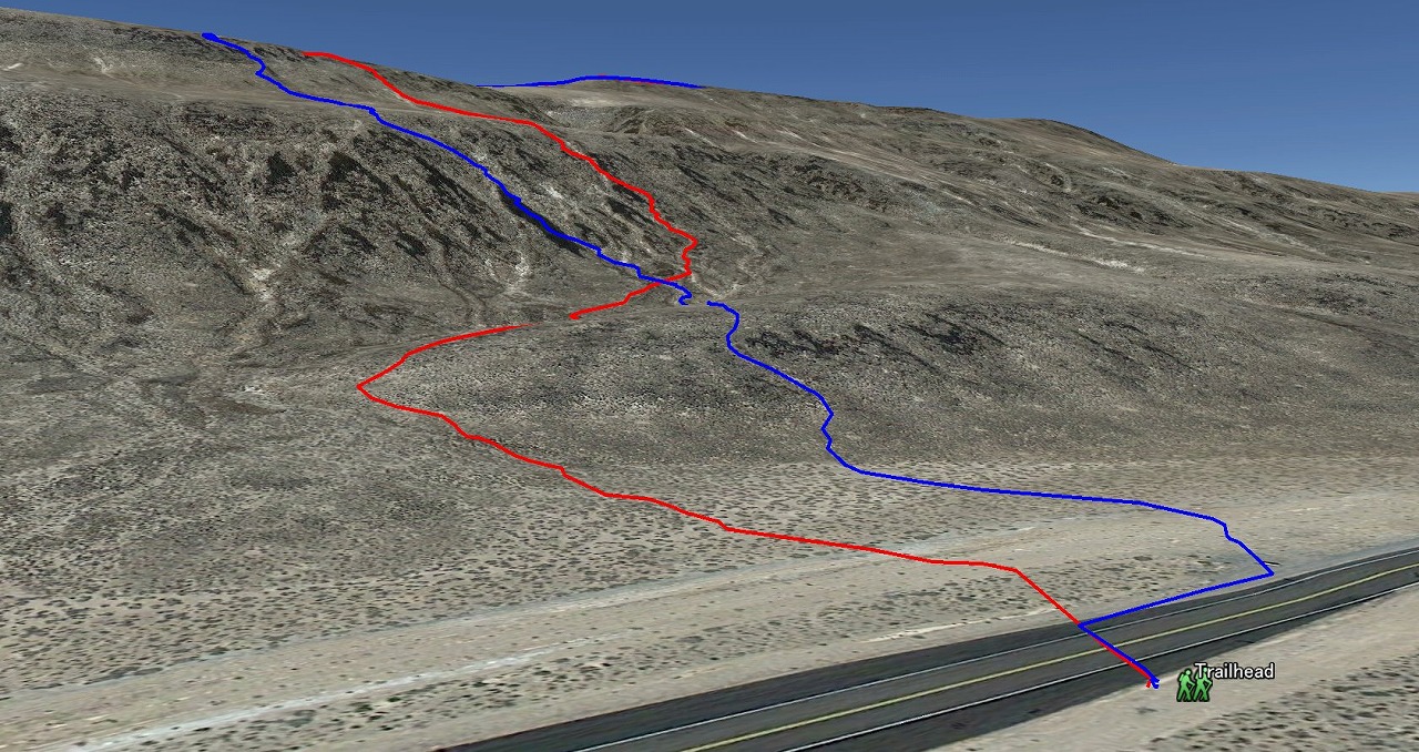
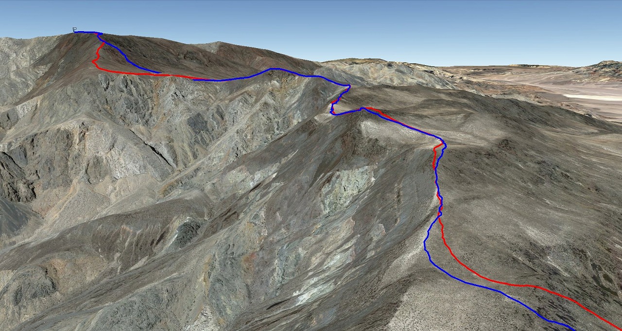
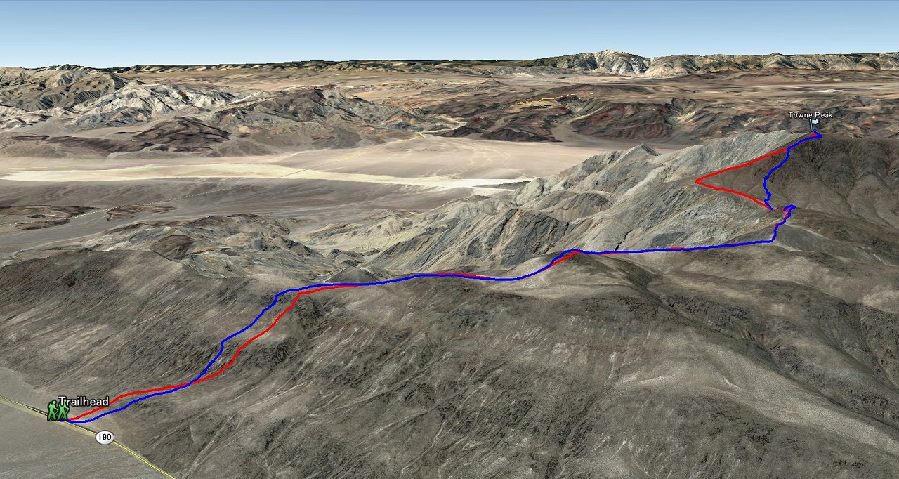
Towne Peak trail map
Trailhead to top of hill
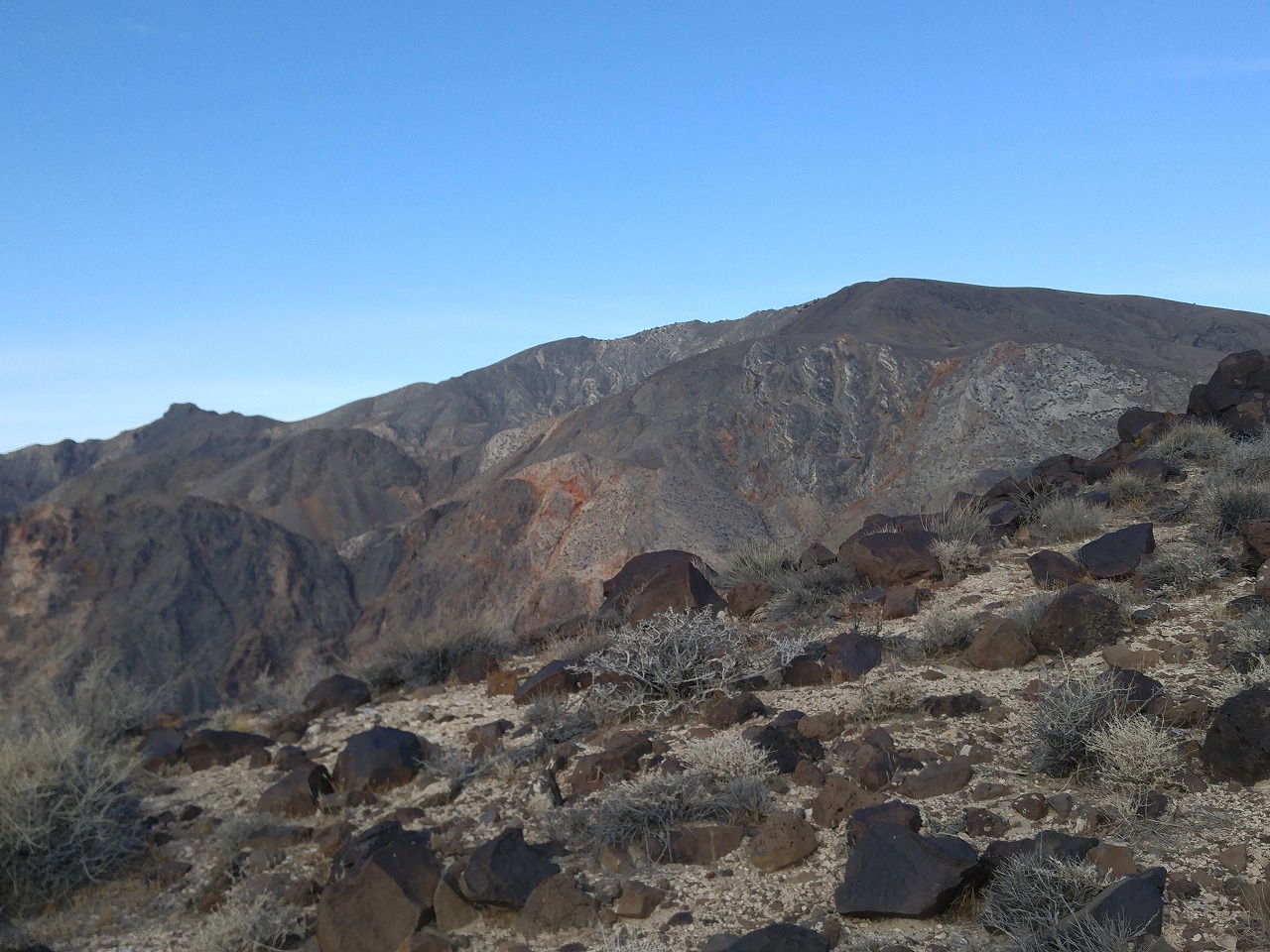
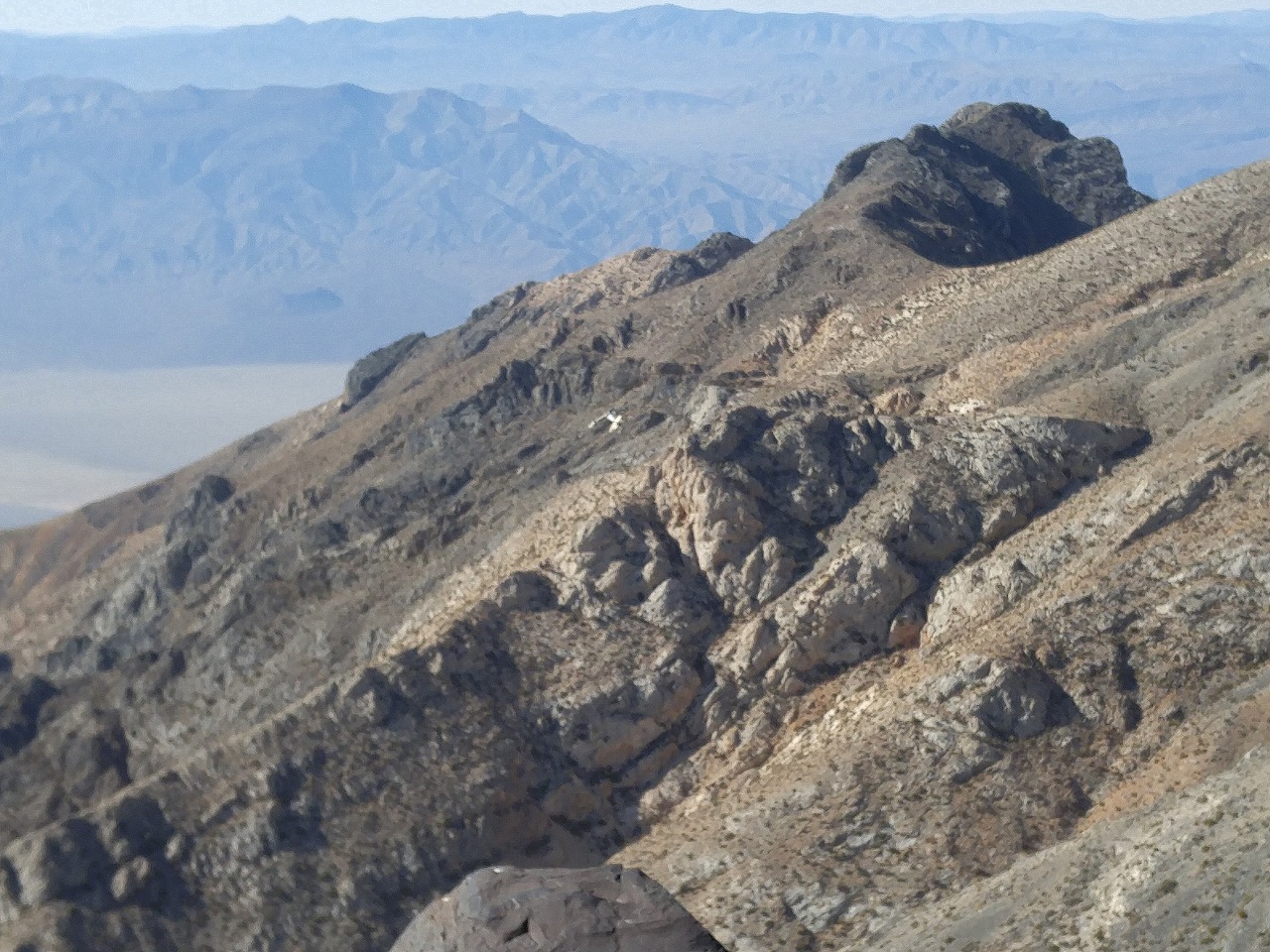
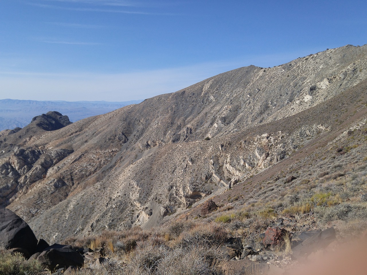
Follow the ridge line
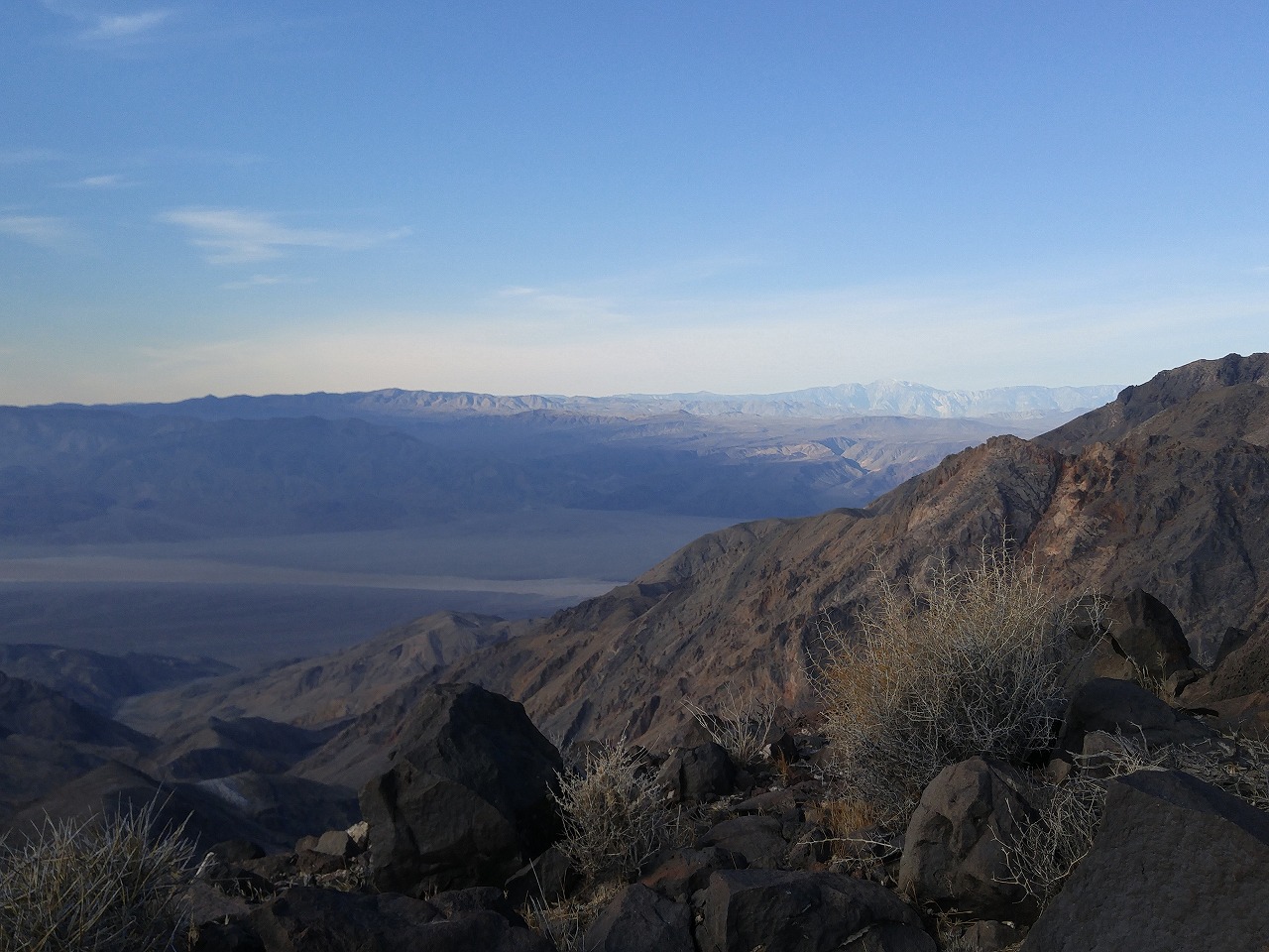
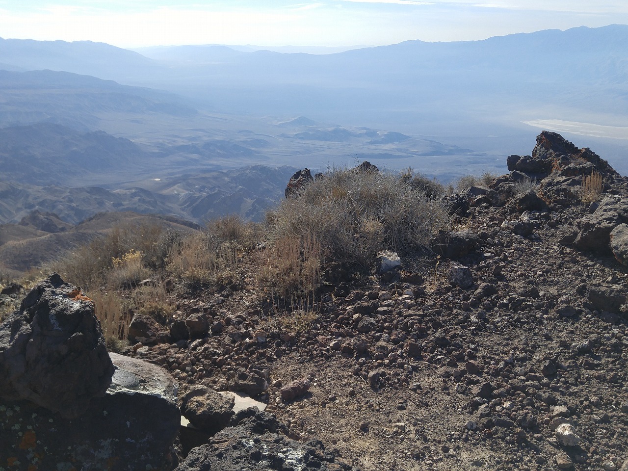
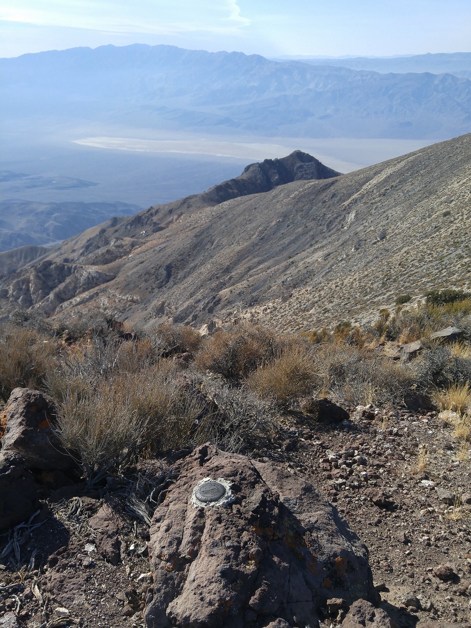
View of Panamint/Coso Range
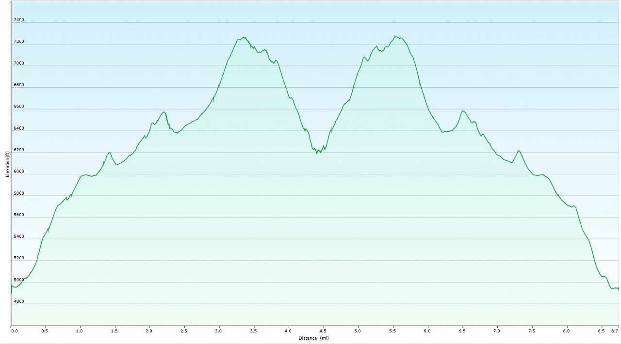
Elevation Chart
Google Earth
Hike Status :
Trailhead
:
Towne Pass
Distance
: 9.5 mile (6.5 mile to Towne Peak)
Elevation Peak
: 7,287 ft (Towne Peak)
Total Elevation Gain
: 3,900 ft (2,700 ft to Towne Peak)
Class
: 1-2
Time
: 7 hours
Showing 1-24 of 54 pictures |
Next -->