
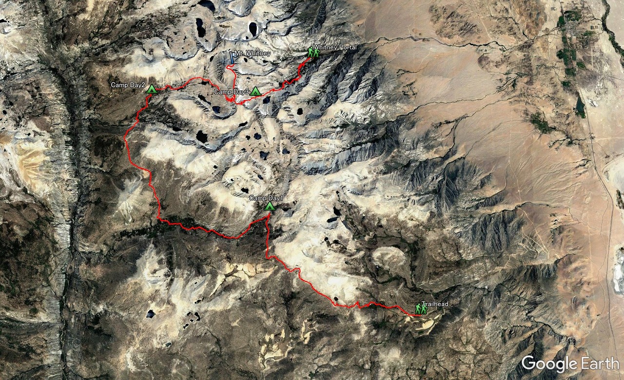
 Entire 3D trail map |
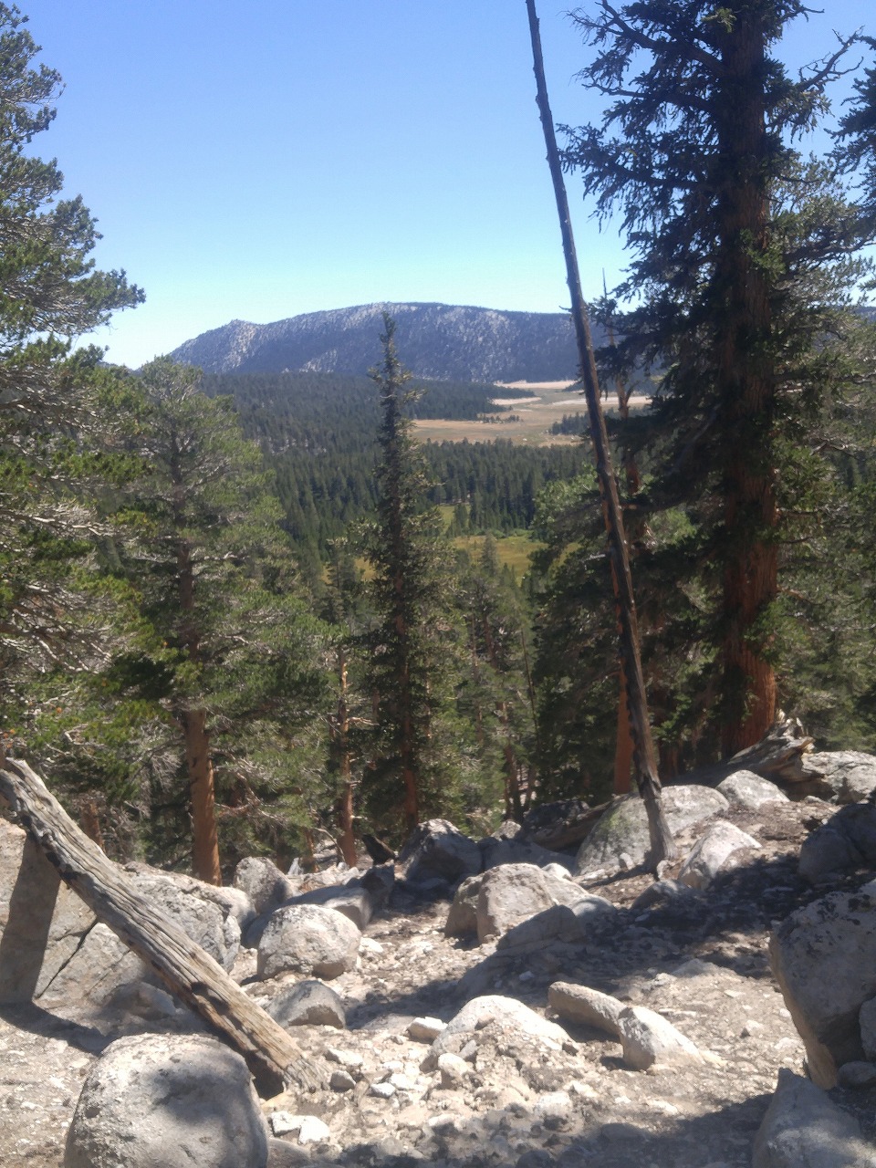
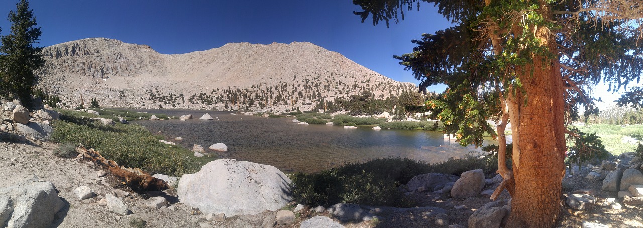
 Horseshoe Meadows to Chicken Spring Lake |
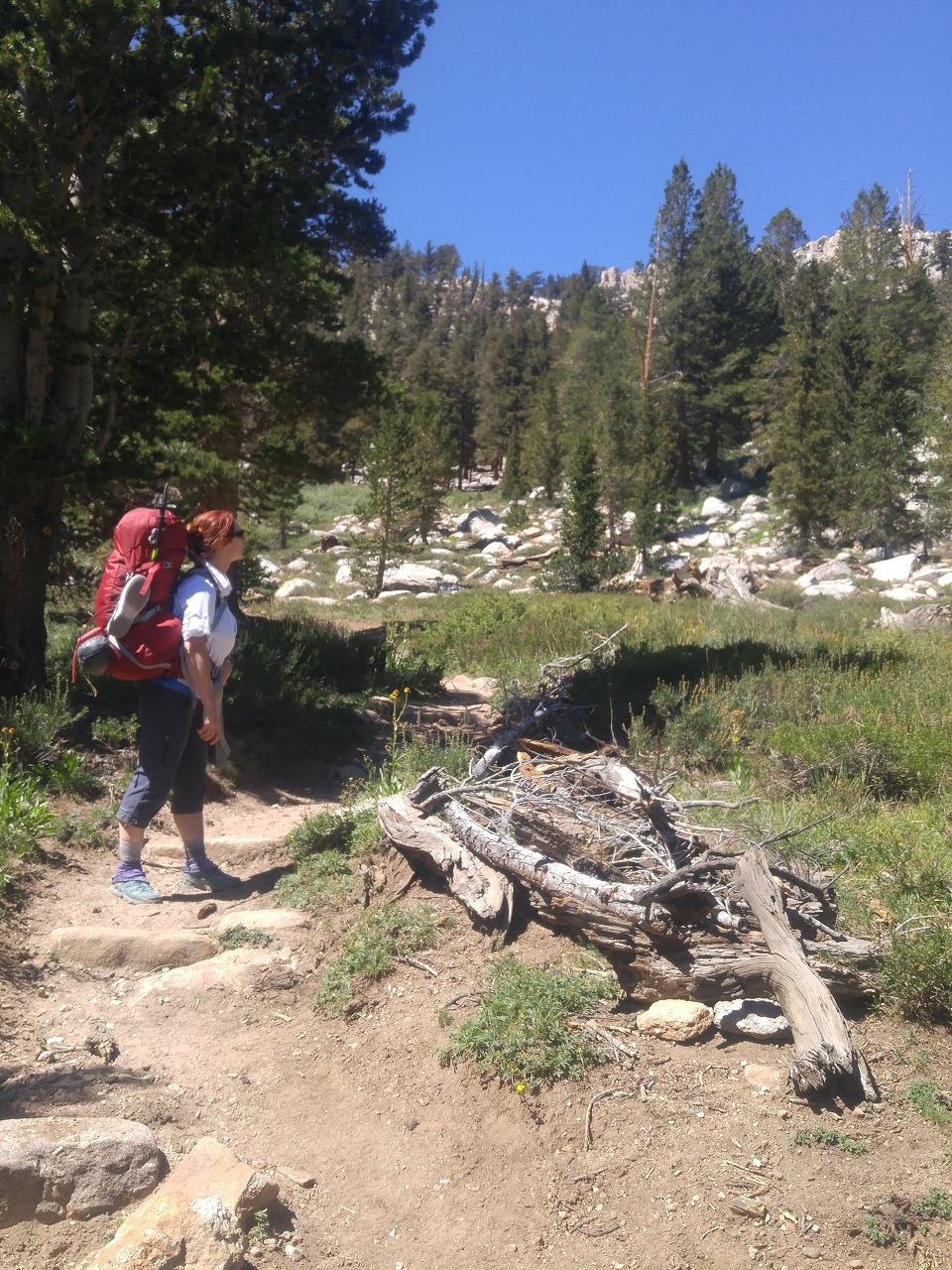
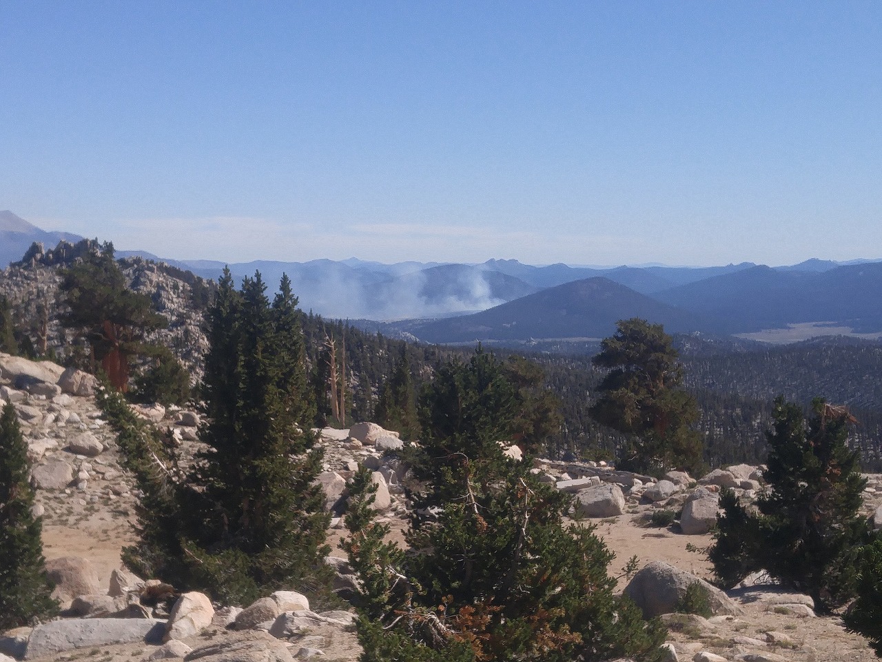
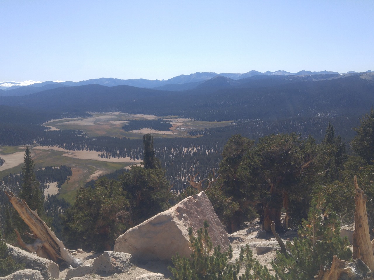
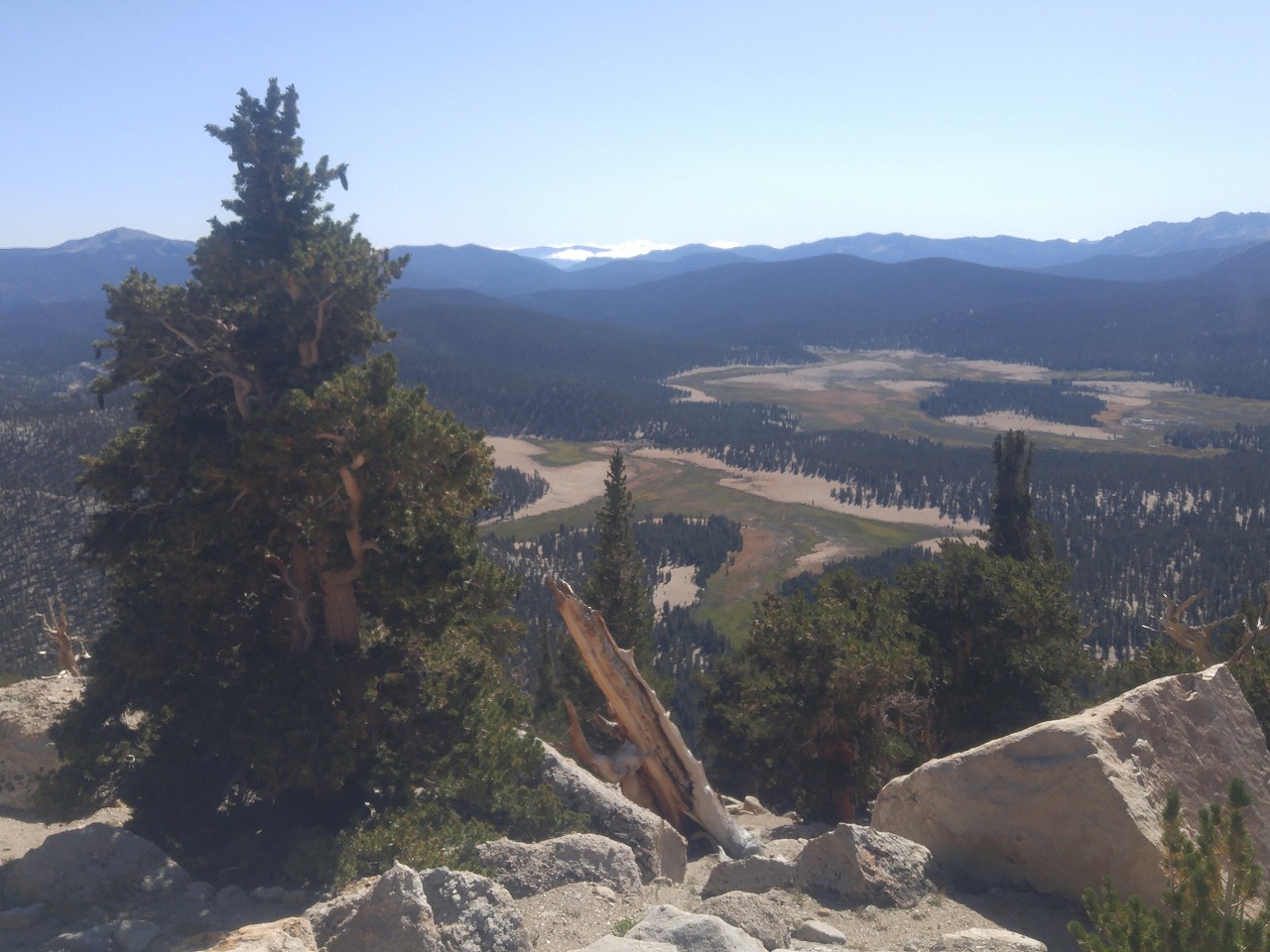
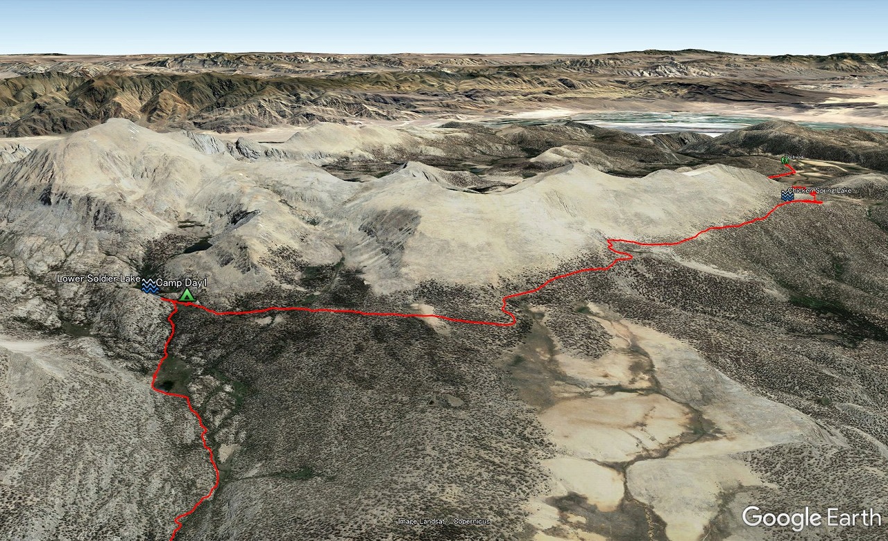 Chicken Spring Lake to Lower Soldier Lake |
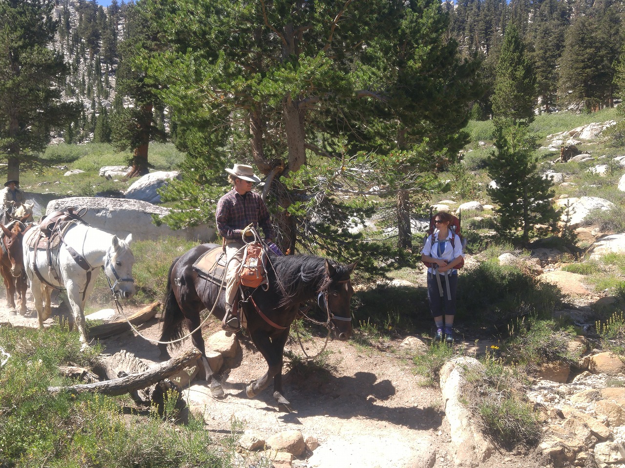
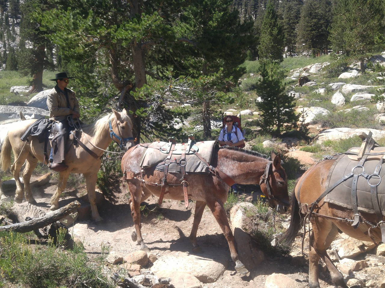
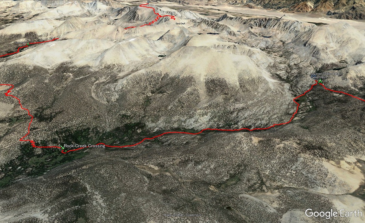 Lower Soldier Lake to Rock Creek Crossing |
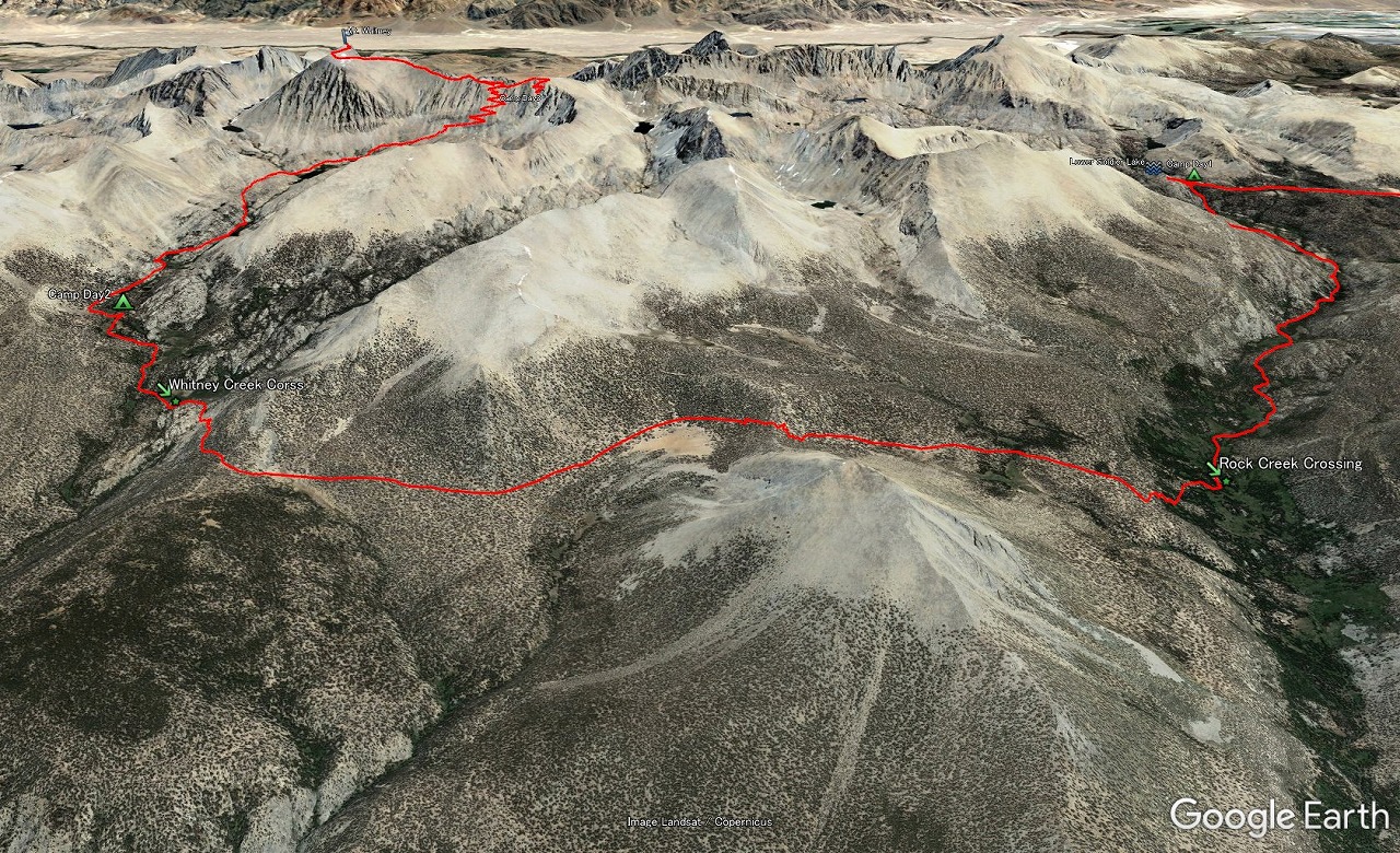 Rock Creek to Crabtree |
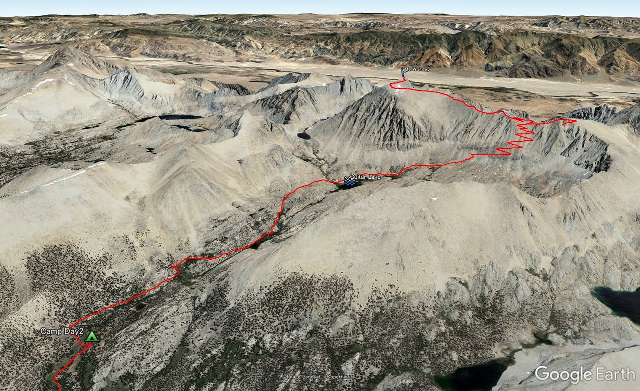 Crabtree to Mt.Whitney |
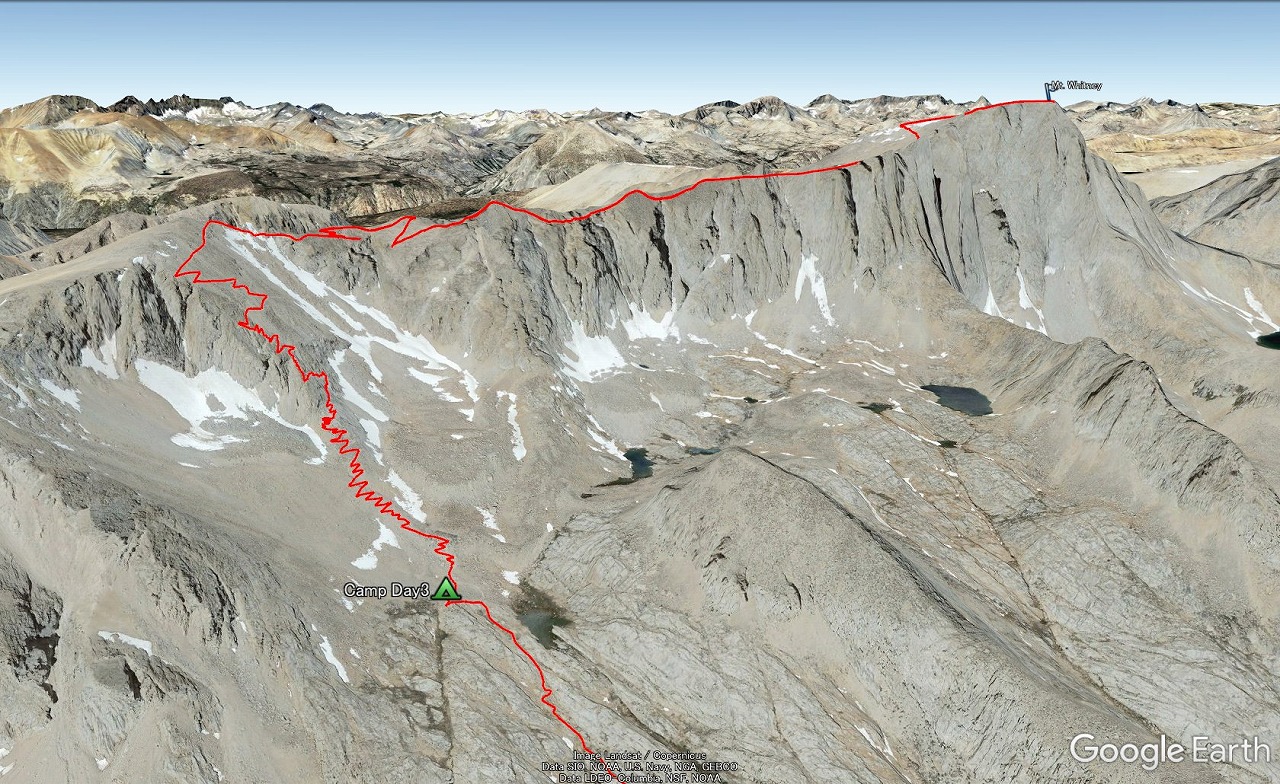 Mt.Whitney to Trail Camp |
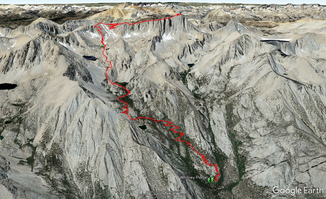 Trail Camp to Whitney Portal |
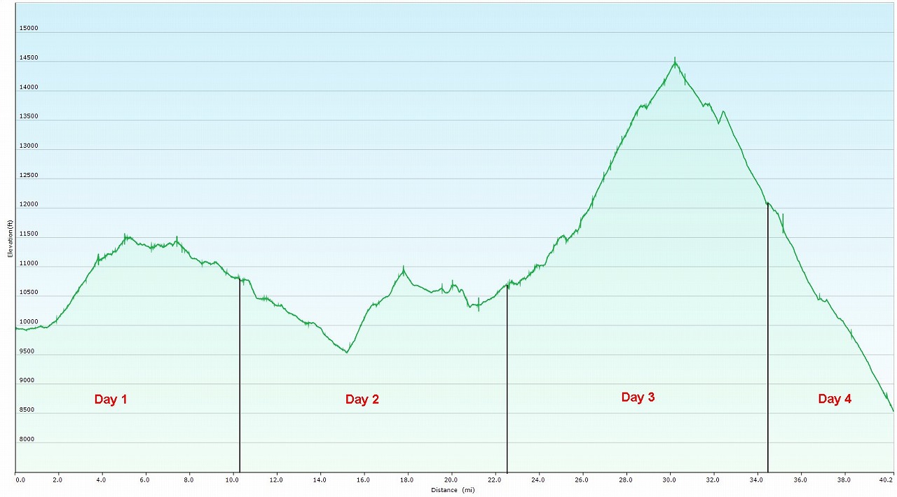 Elevation Chart |
 Google Earth |
|
| ||||||||||||
|
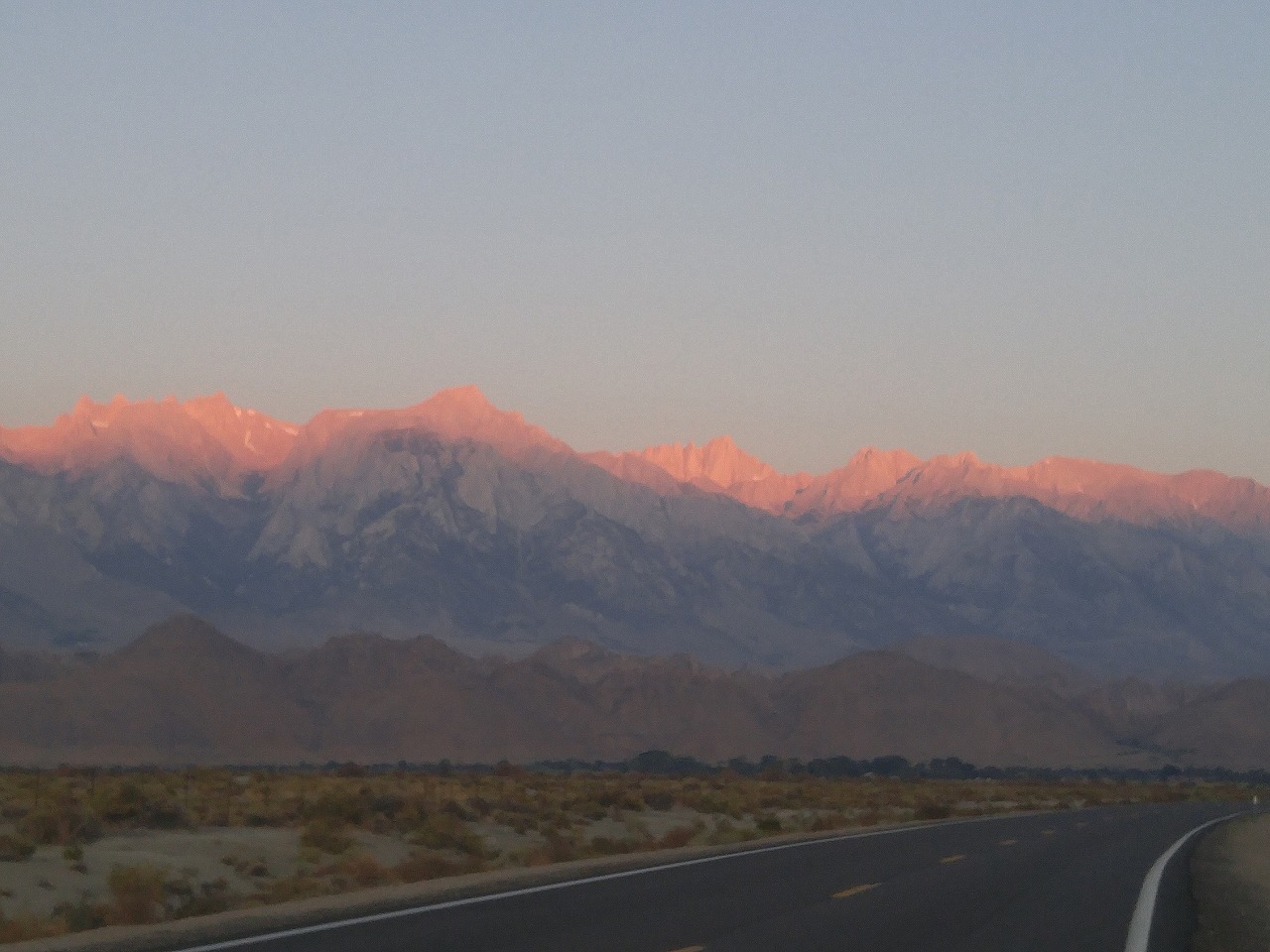
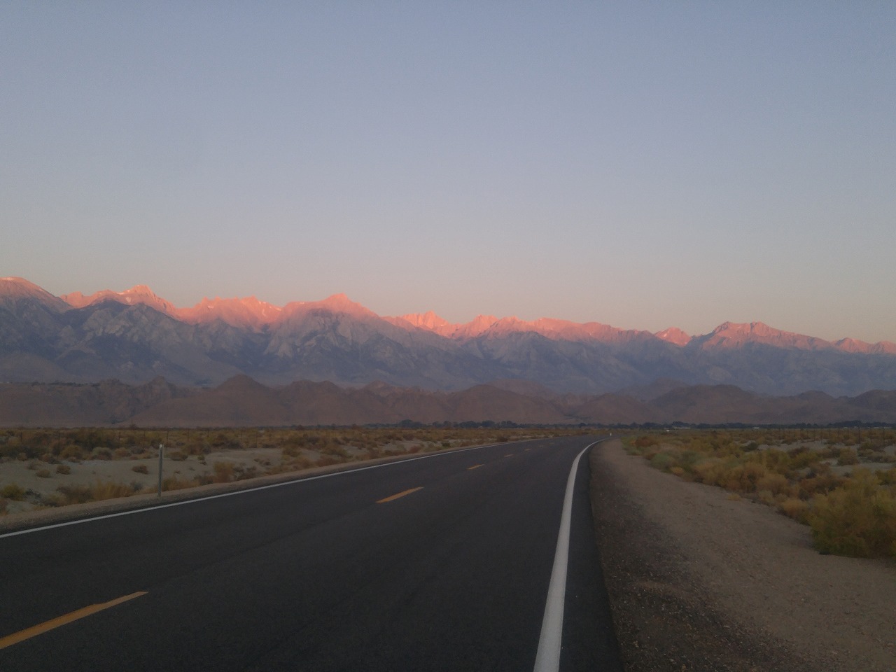
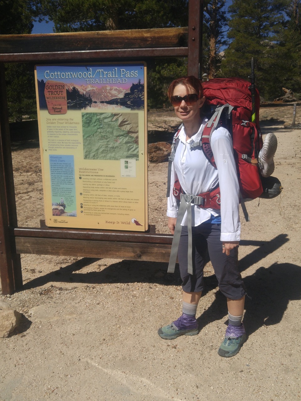
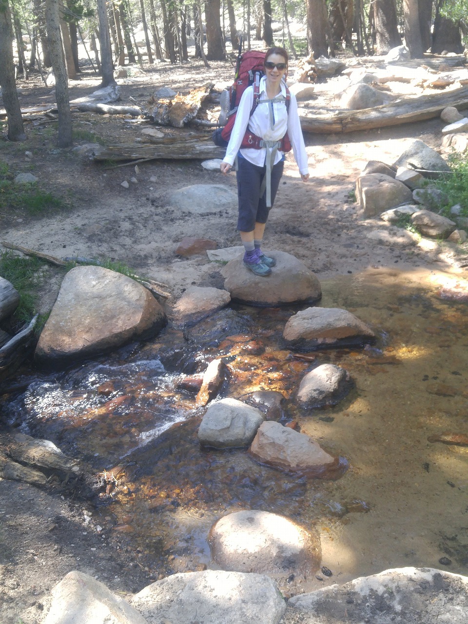
| Showing 1-24 of 254 pictures | Next --> |
|
|
|

|
|
|
|
|
|
|
|
|
|
|
|
|
|
|
|
|
|
|
|
|
 |
 |