
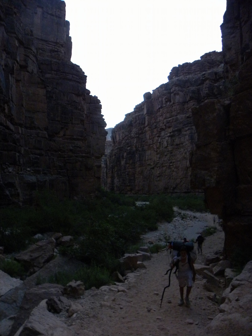
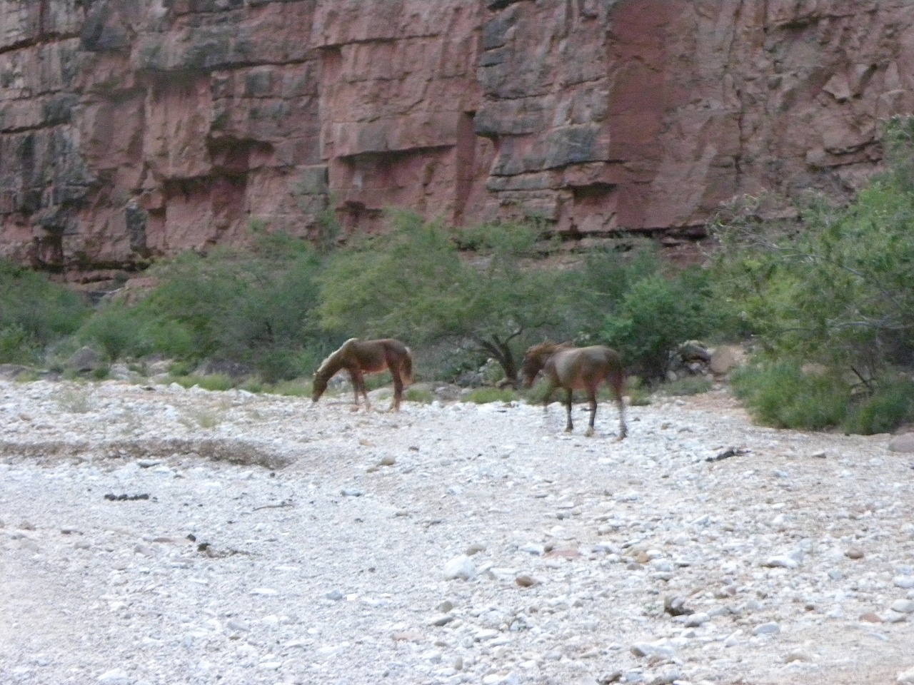
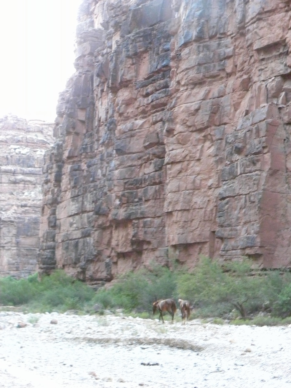
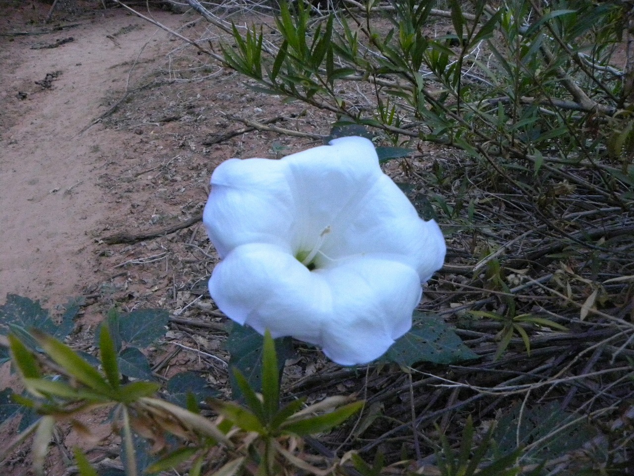
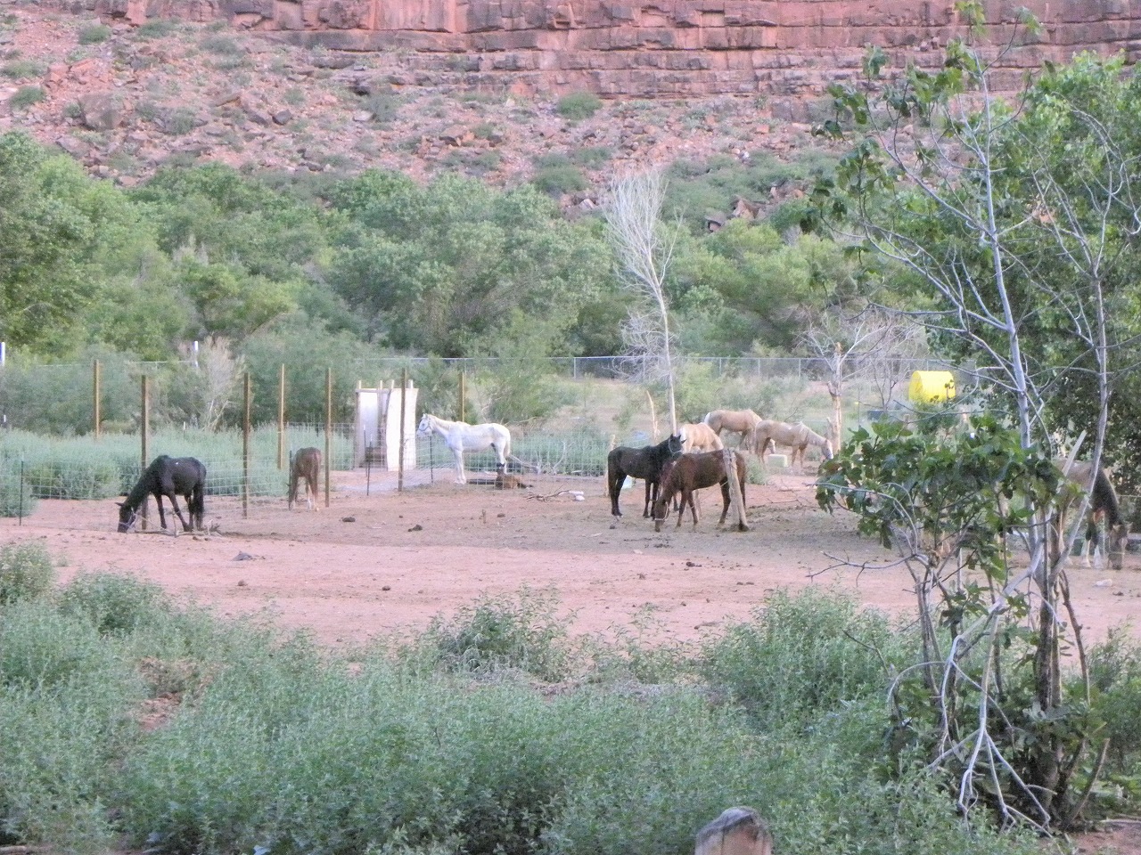
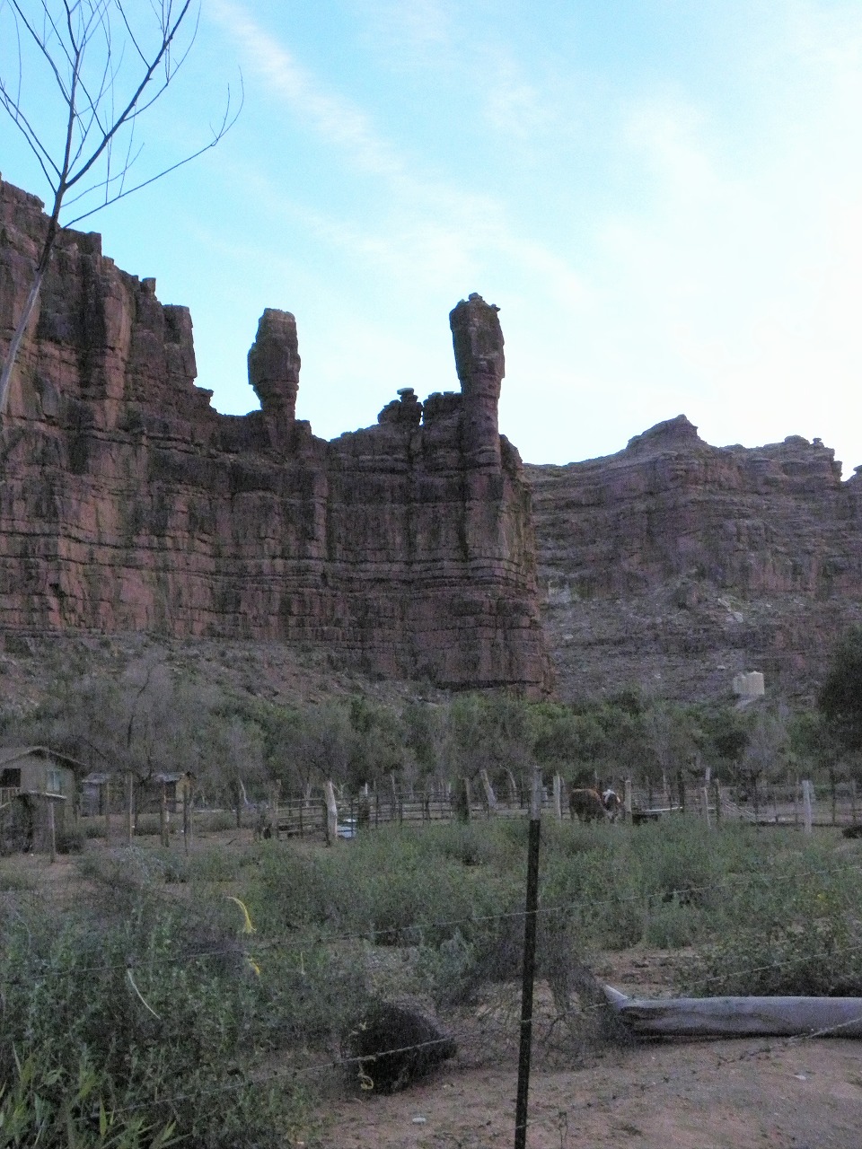
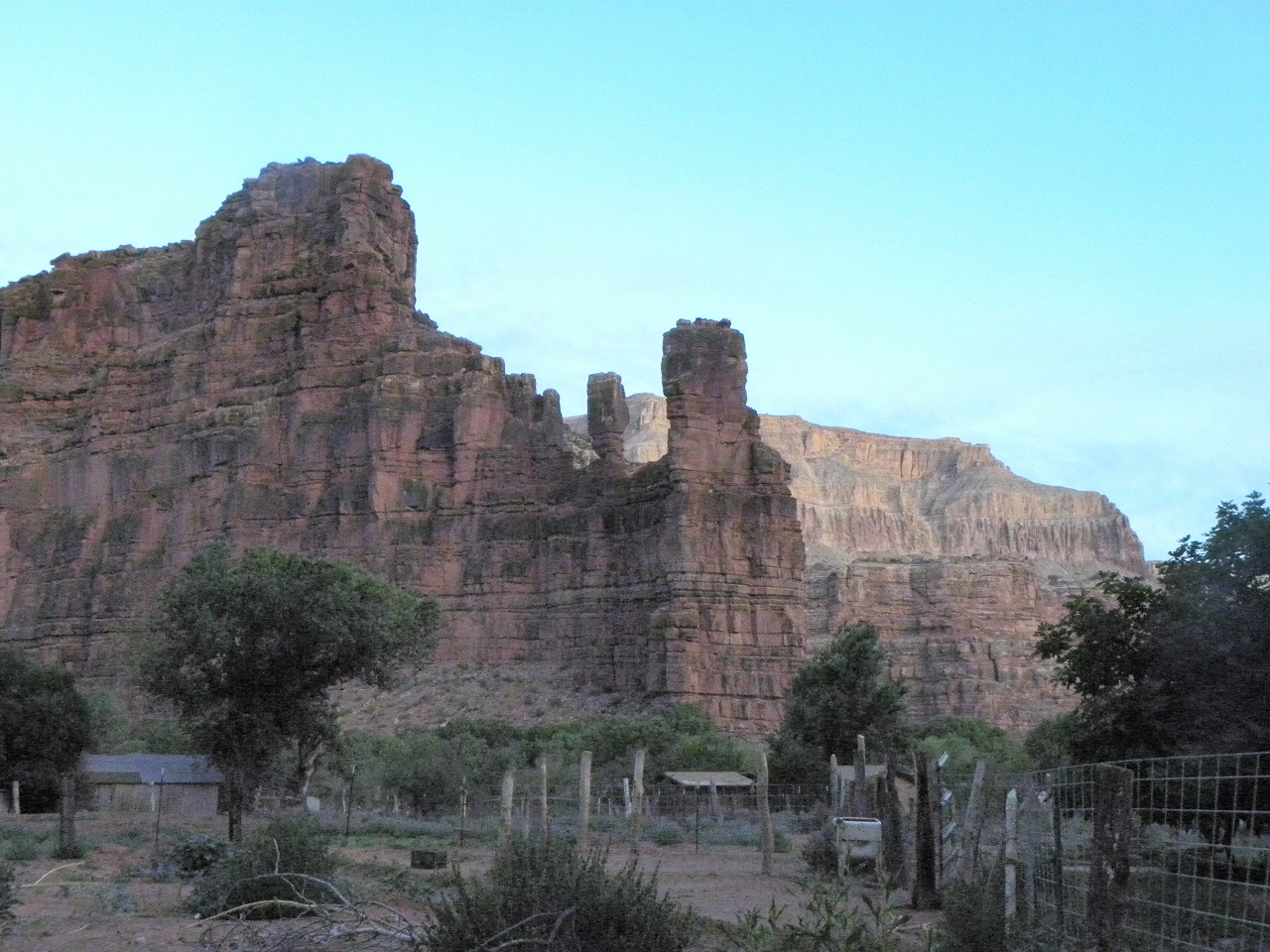
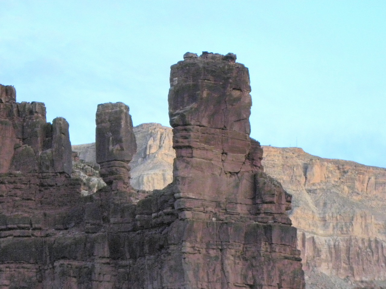
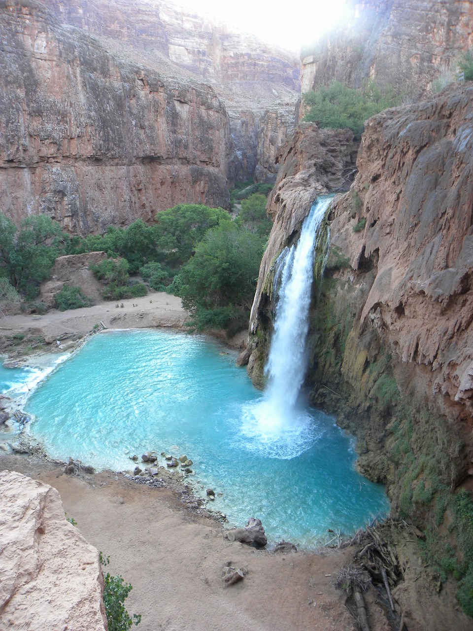
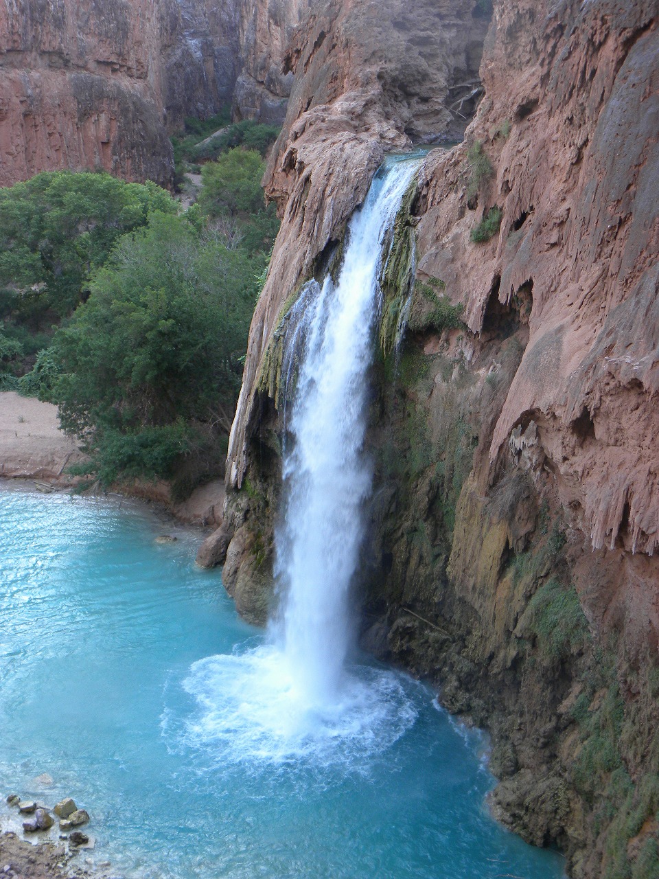
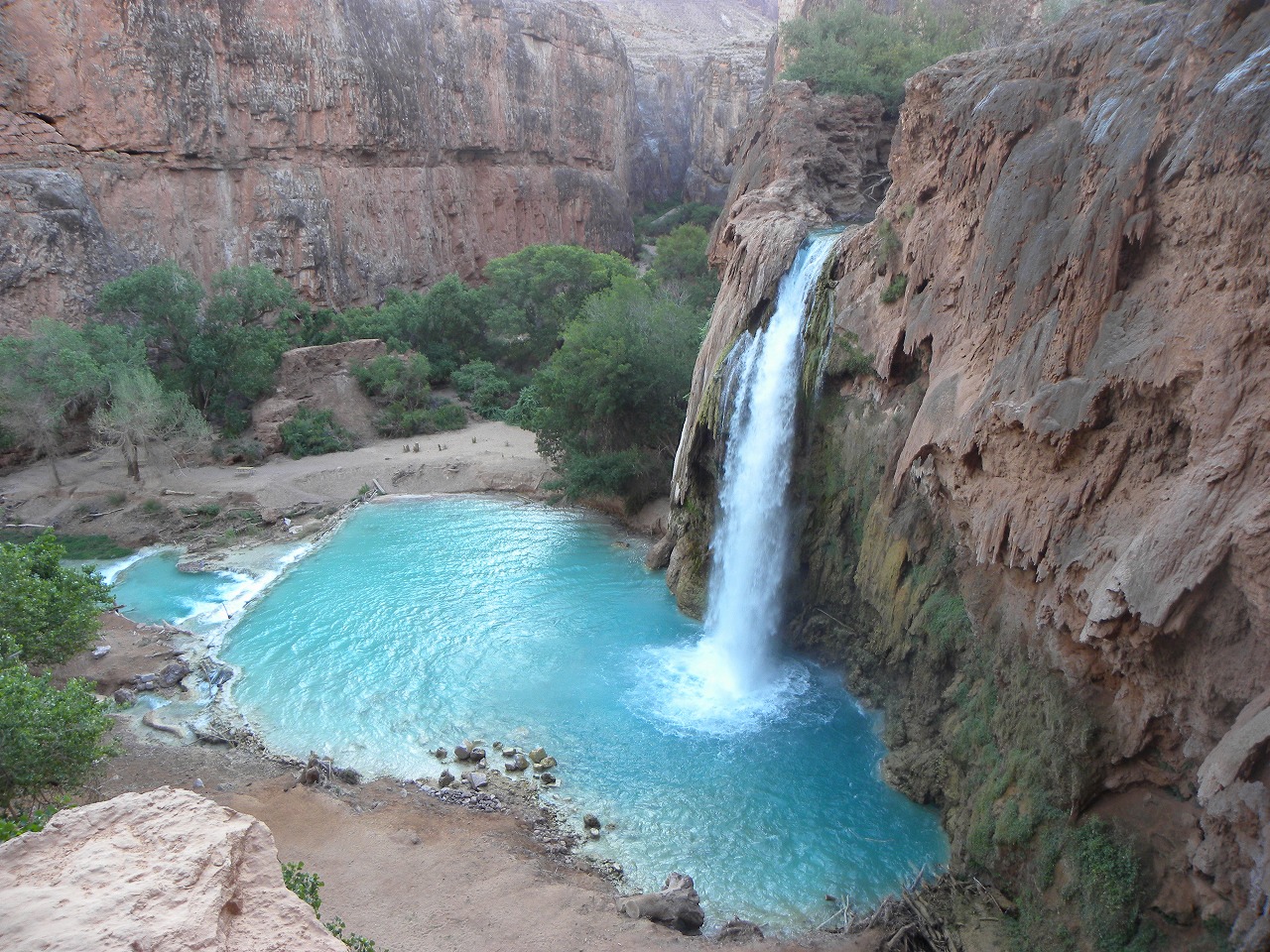
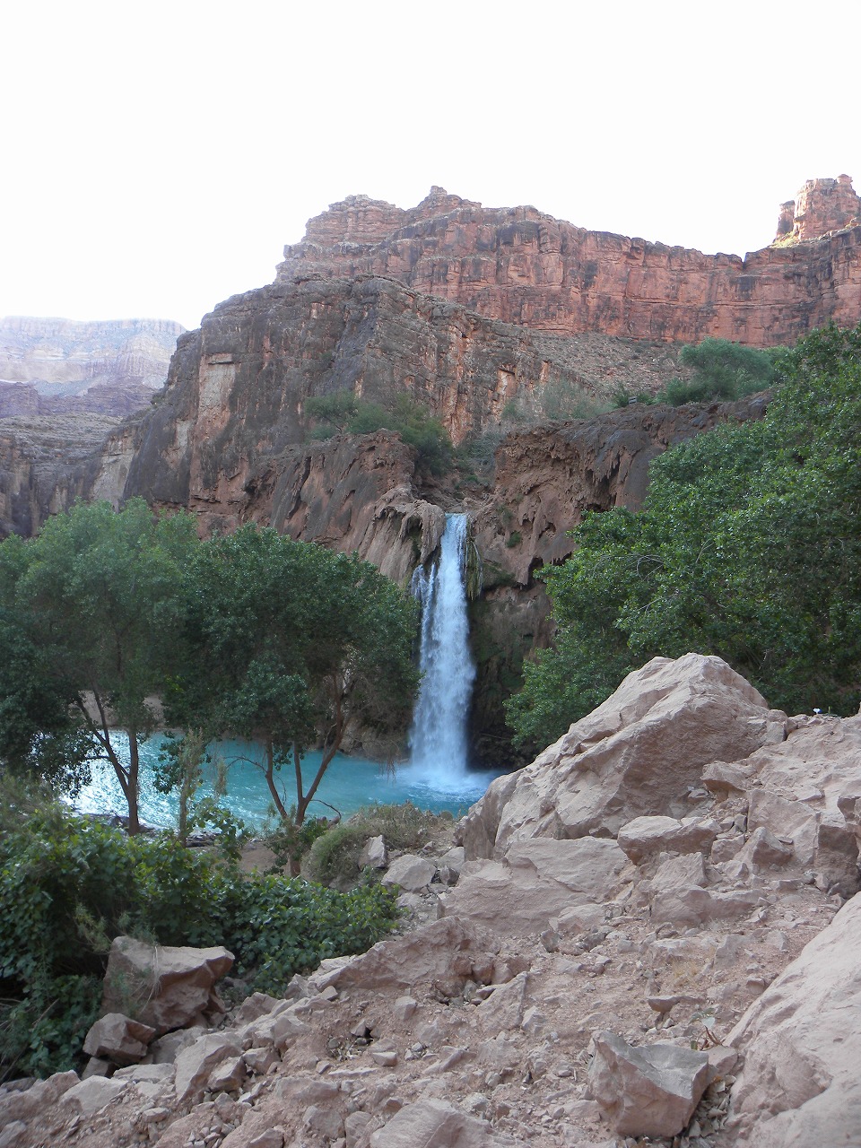
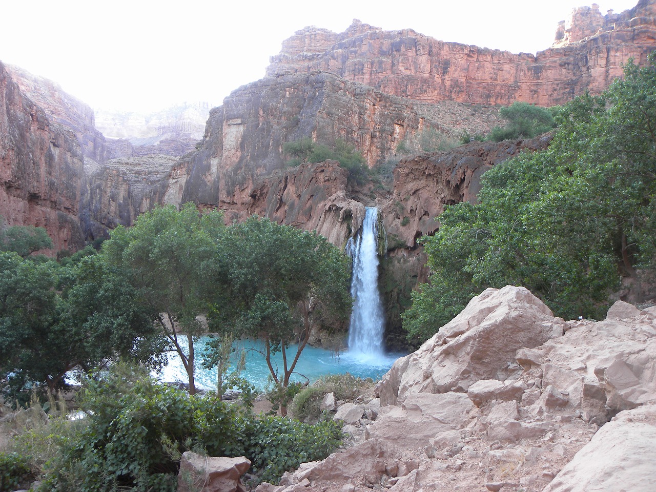
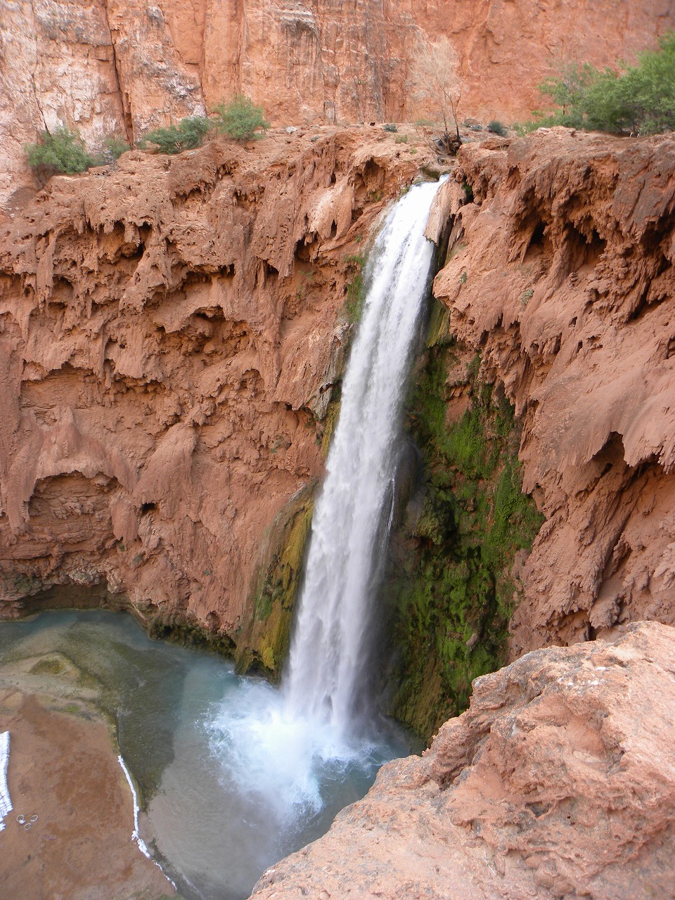
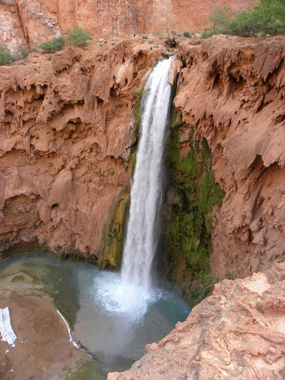
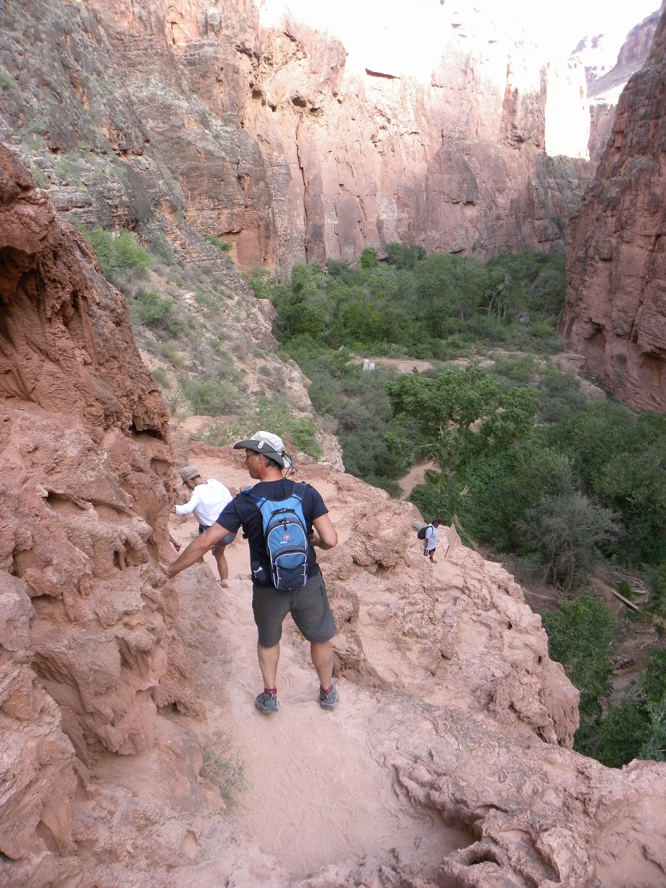
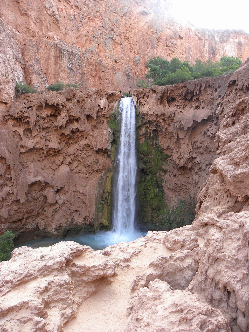
| This was my first Havasupai trip. About 50 member of Meetup Group camped at there. Since I had to work on Friday, I arrived at Hilltop on Friday 8:30PM. When I was preparing to hike in at the parking, the security told me that I can't hike in the dark due to the safety. So, I stayed in the car until 2:00AM. But security found me when I came out from my car, so I stayed one more hour. Then I sneaked out and started hiking at 3:15AM without headlamp. Fortunately, security didn't find me this time. For last few weeks, I have hiked at night for training and I didn't use headlamp most of time. That experience really helped me this time. I jogged for few sections and hiked fast pace. I made it to the Village Office in 2 hour 20 minutes. Office supposed to open at 5:30AM, but it was still closed. So, I have waited for 10 minutes for the office lady shows up. After I payed the entrance & camping fee, I headed to campsite. I stopped couple of times to take a photo at new falls and Havasu fall. Then I made it to the camp spot in 50 minutes. Most of meetup member were already woke up and some were prepared for hiking. I set up my tent quickly and joined first group to the Colorado River. On the way to the Colorado River, we stopped at Beaver Falls and enjoyed the water and view. Then 7 of us kept going down to the Colorado River. We made it in 5 hour 30 minutes. We stayed for 40 minutes at there and headed back to the camp site. On the way back, one hiker got his knee cramped really bad. On the next day, most of group member left early in the morning, but 5 of us went back to the swing rope and enjoyed. We left the camp site little after 2PM and went to Village to get some drink. We left Village around 3:30PM and get back to the Hill Top by 7:30PM. I made it to the Hilltop from the bottom in 35 minutes with full backpack. Havasupai information |
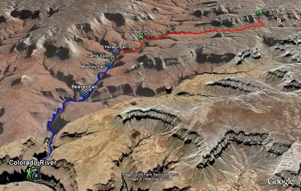 Entire 3D trail map |
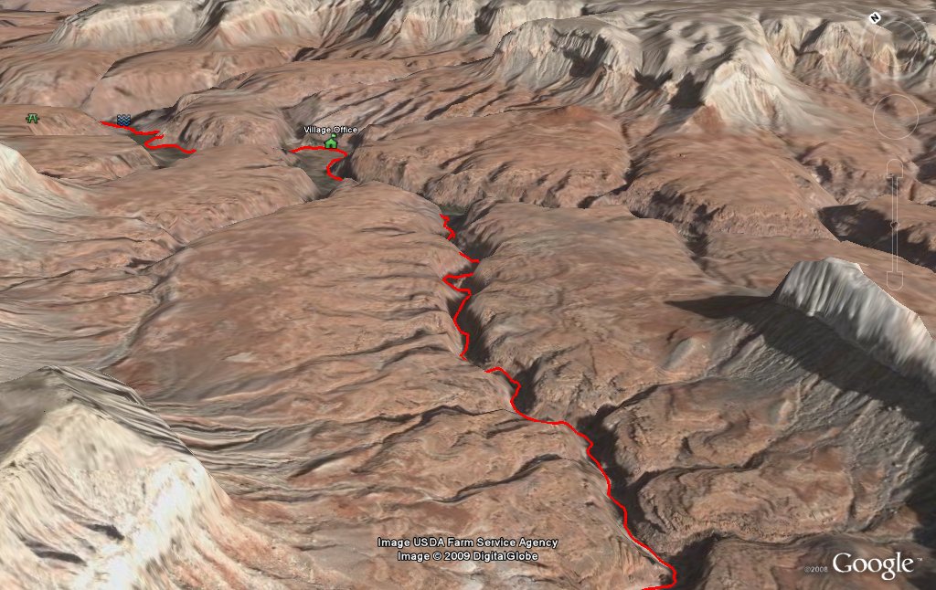
 Hill Top to Bottom |
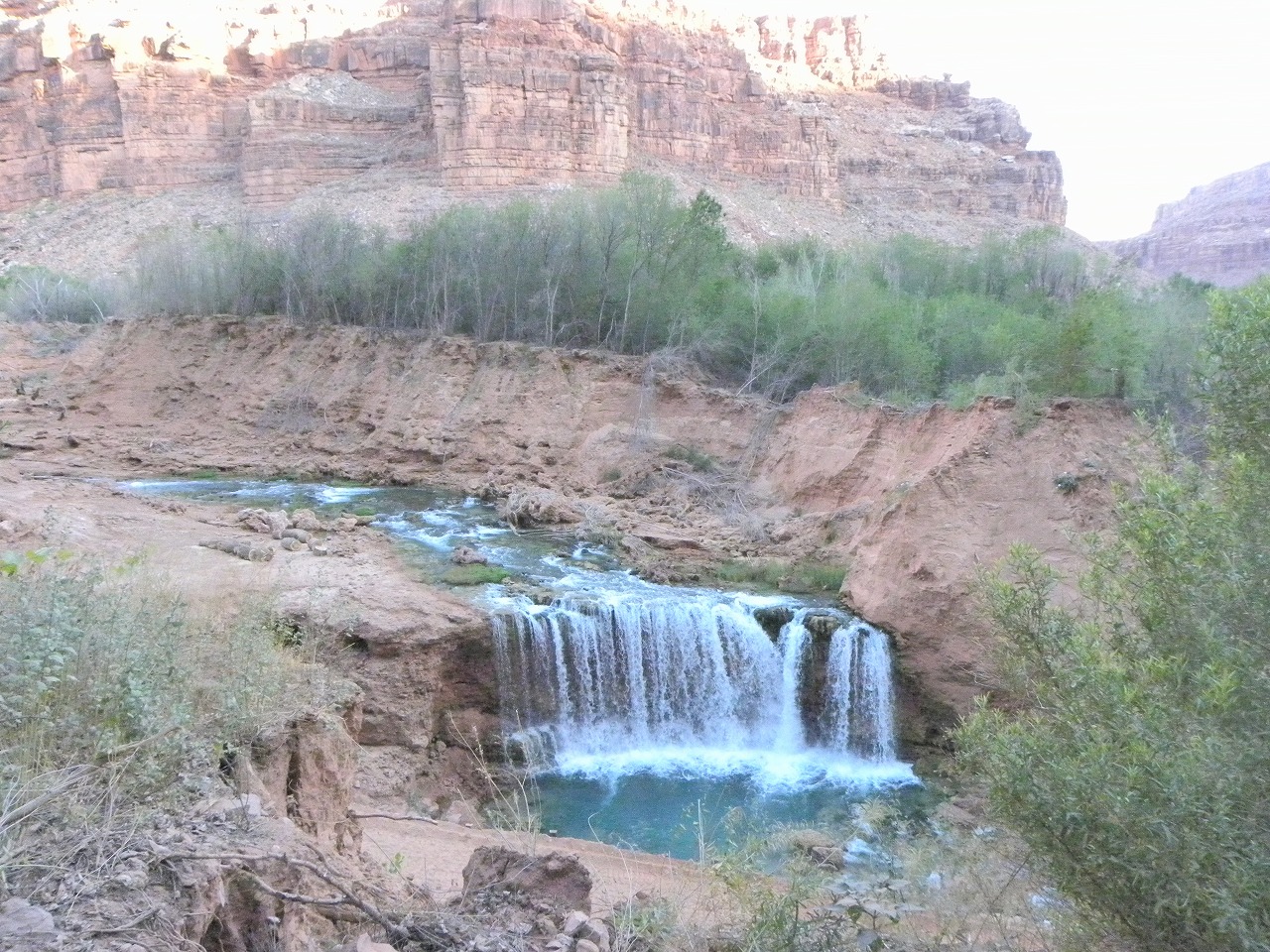
 Towards Village |
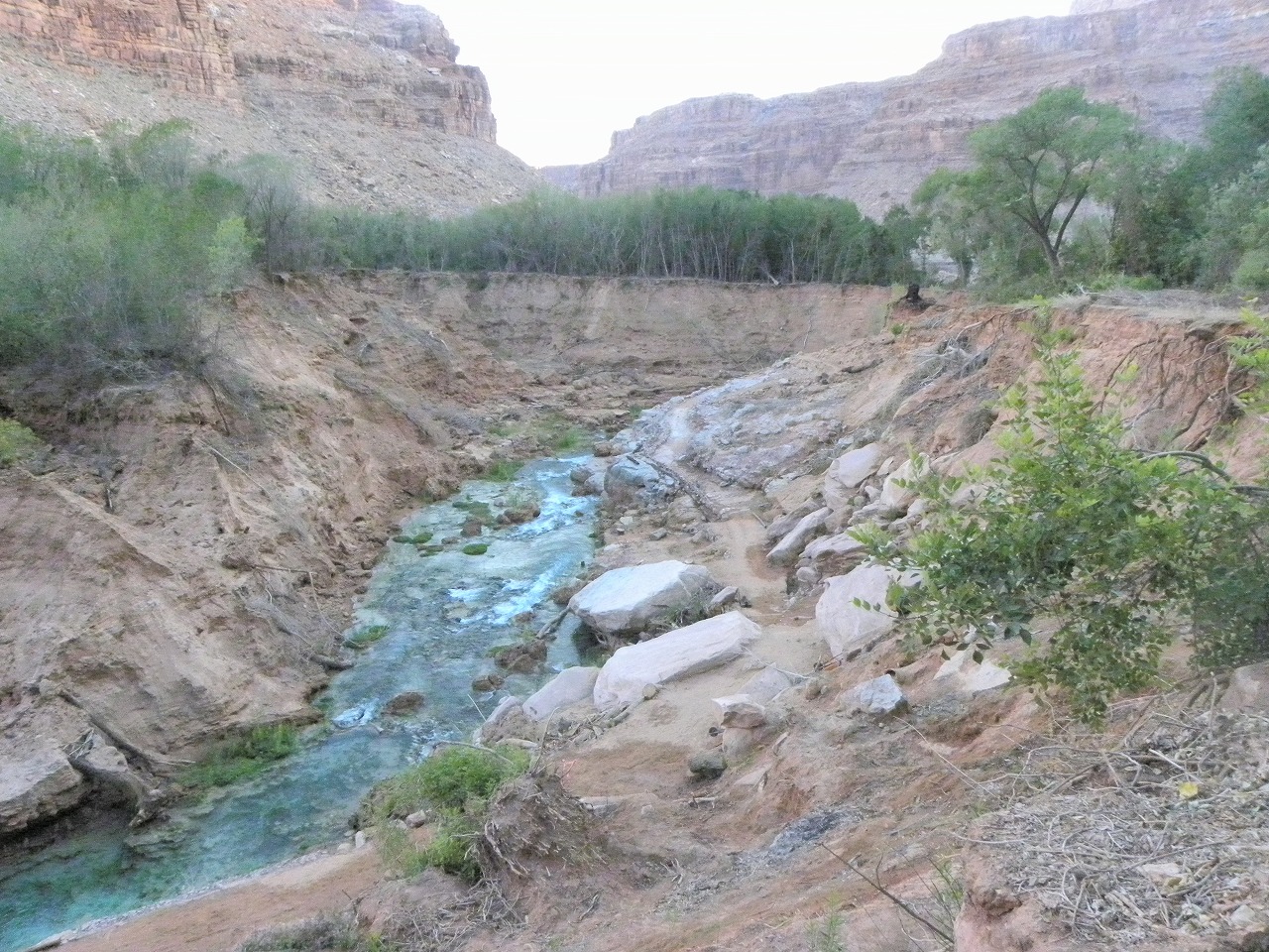
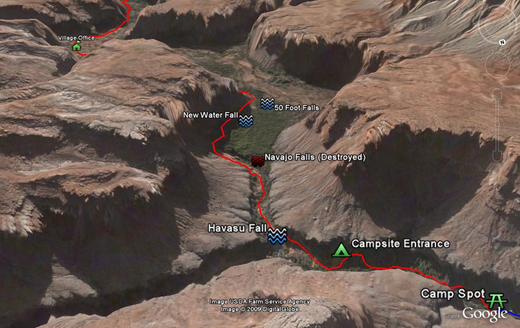 Village to Campsite |
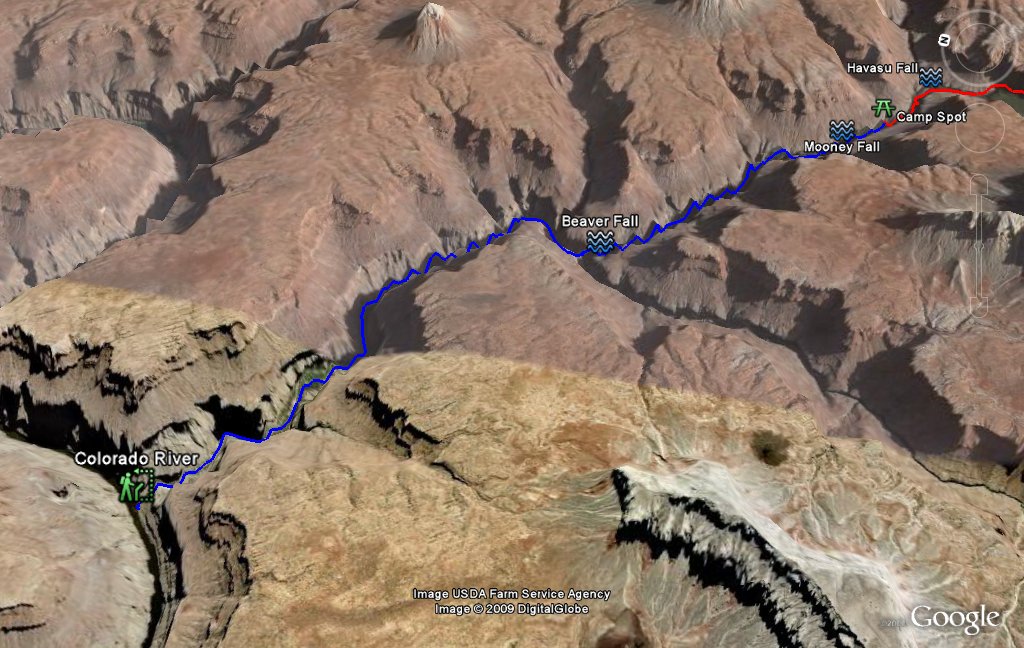 Colorado River Hike |
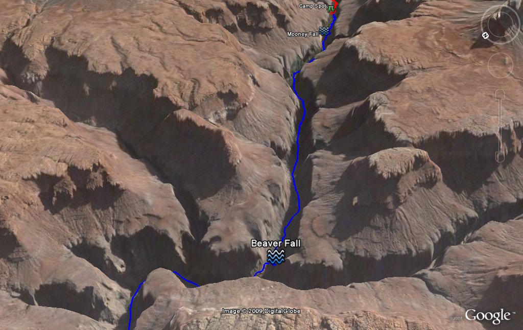 to the Beaver Falls |
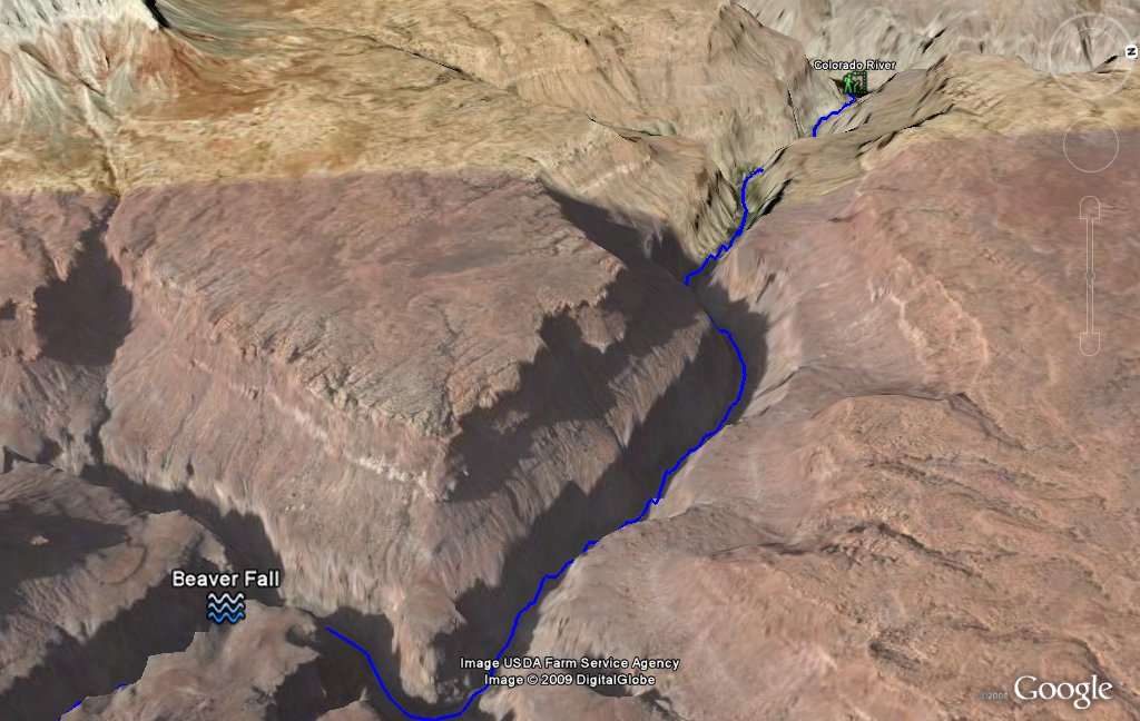 From the Beaver Falls |
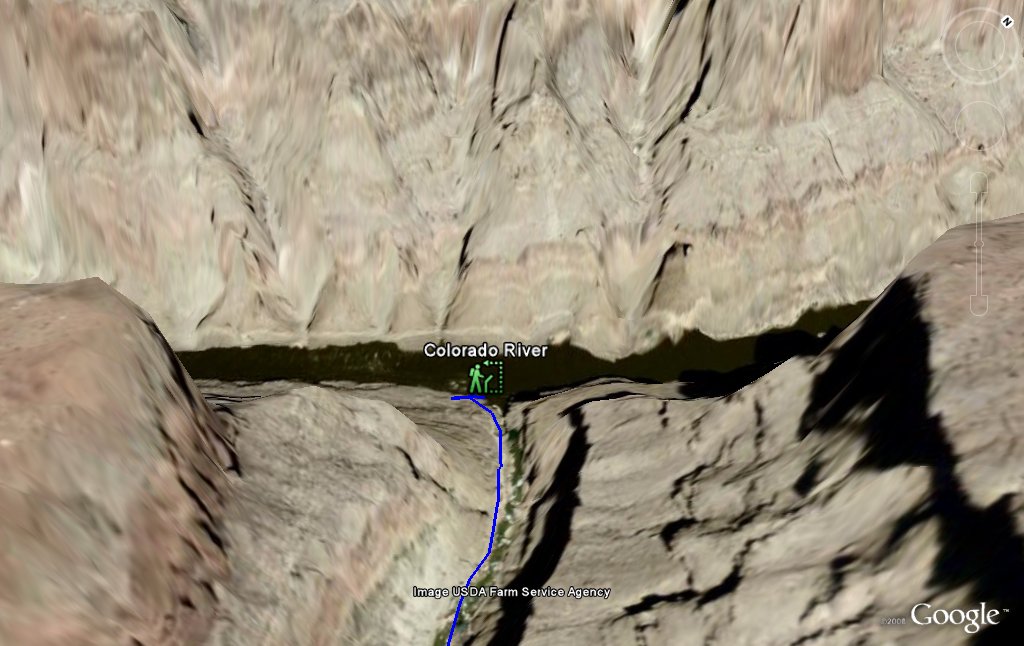 Colorado River |
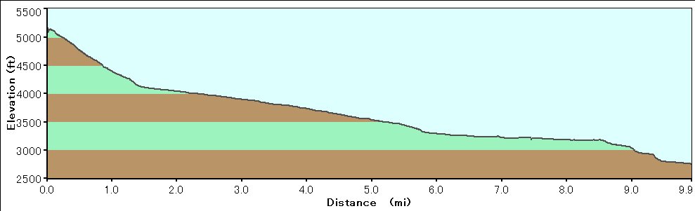 Elevation Chart (only Hilltop to Camp spot) |
 Google Map |
 Google Earth |
| Showing 1-24 of 370 pictures | Next --> |
|
|
|

|
|

|
|
|
|
|
|

|
|

|
|
|
|
|
|
|
|

|
|
|
 |
 |